Mount McLoughlin
June 28, 2024
2894m
Klamath Falls, OR
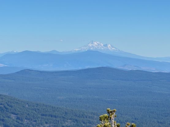
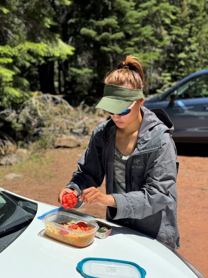
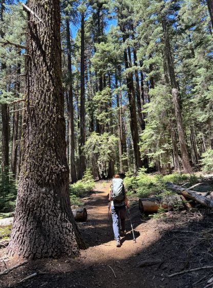
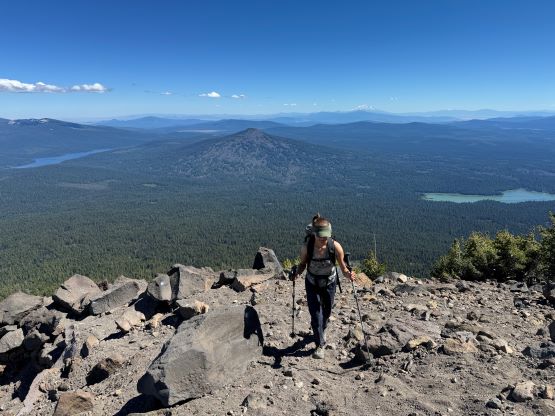
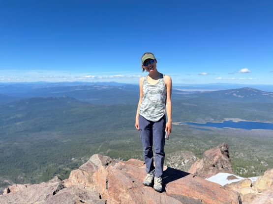
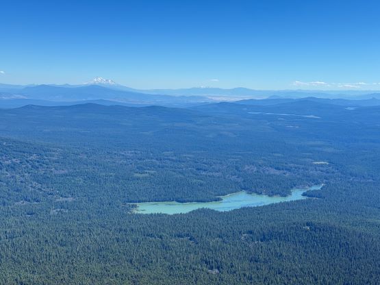
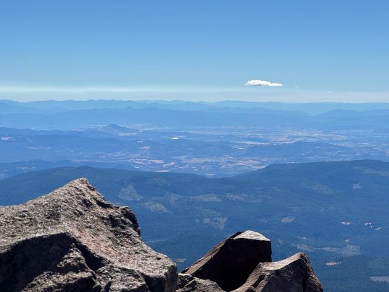
Mt. McLoughlin dominates the southern Oregon skyline and boasts over 1300 m prominence, but it’s small compared with Mt. Shasta further to the south in California, or the Three Sisters to the north. This is one of the easiest volcanoes in Oregon with basically a trail to the top. The upper slope does require some scrambling on boulders but the ascent is overall trivial. This was the 3rd day of the trip and earlier in the trip Erica and I had climbed Broken Top and Mt. Thielsen, and also paid a visit to Crater Lake. We were pushing ourselves quite hard in the previous two days and Erica also desperately needed to put some hours into her work, so she brought a laptop and we decided to spend the night in a motel. Erica had a meeting at 9 am so we both woke up very leisurely. The meeting ended up being longer than she thought, that we barely made the 11 am check-out time, and subsequently did not make to the trail-head until noon. The last few miles were gravel but imposed no problem to the Corolla. The mosquitoes were however, terrible at the trail-head so we both had to put on the jacket to prepare for our meal, despite the hot temperatures.


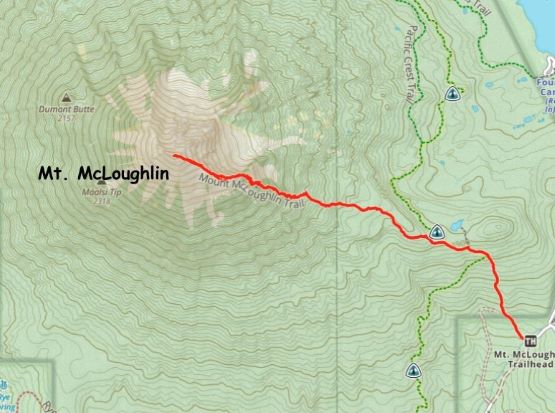
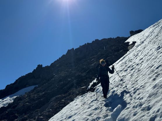
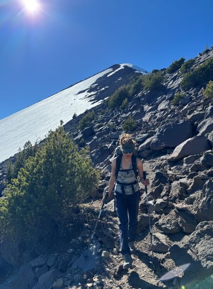
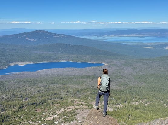
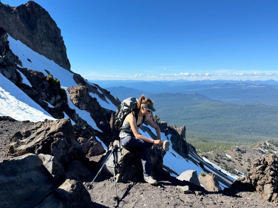
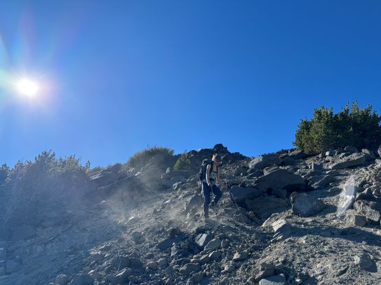
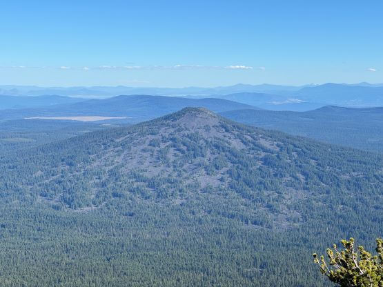
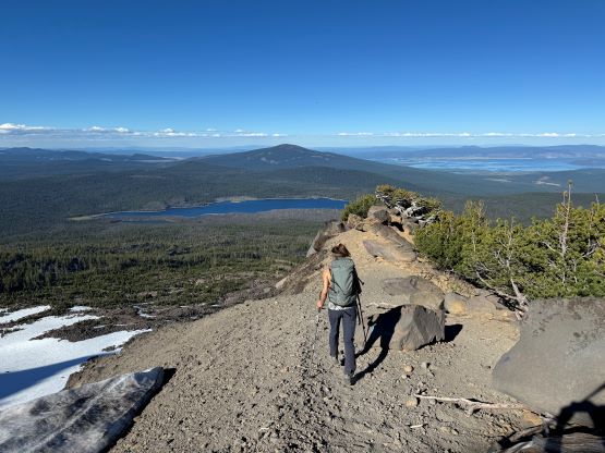
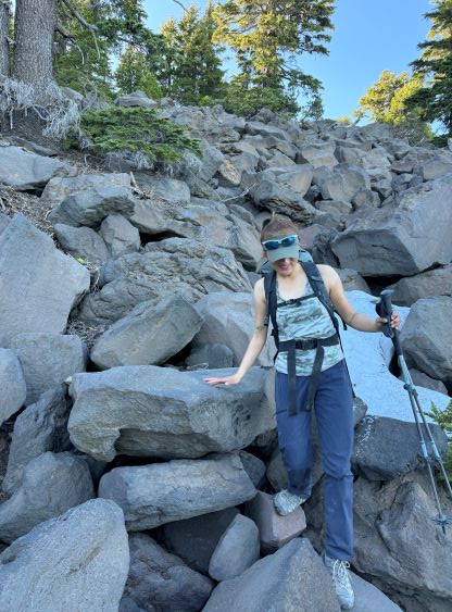
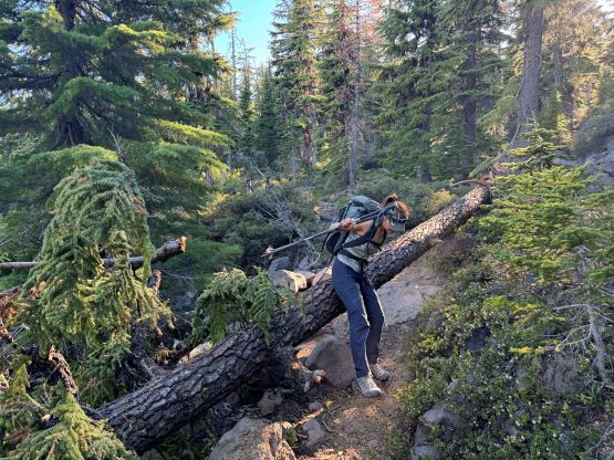
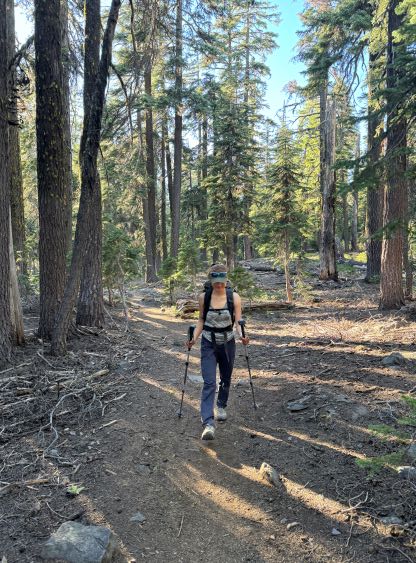
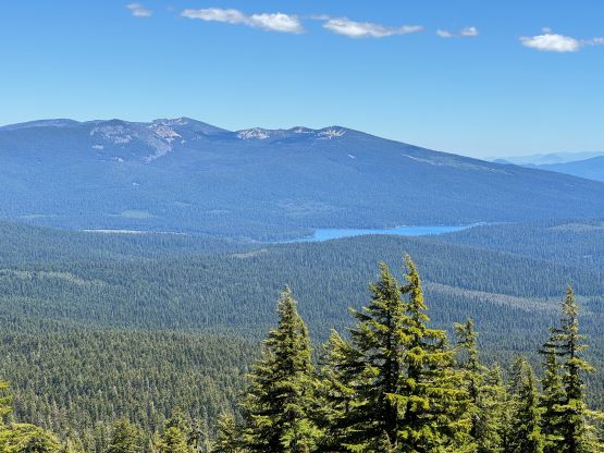
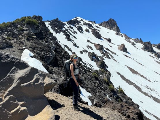
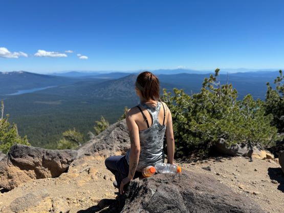
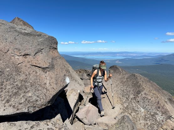
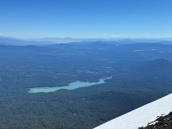
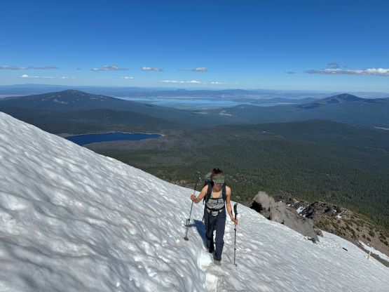
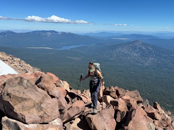
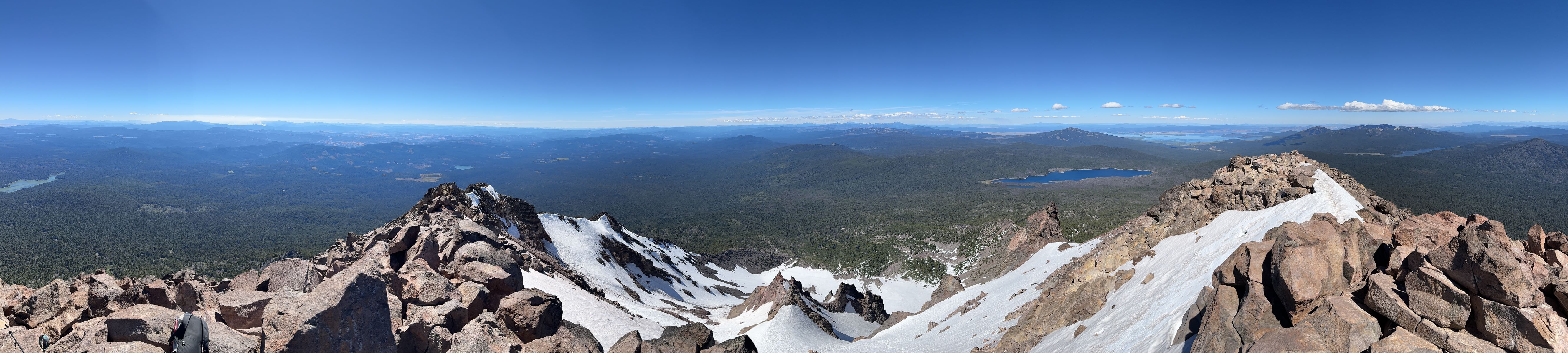
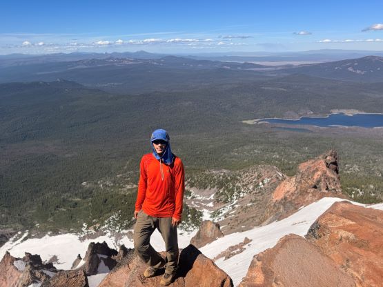
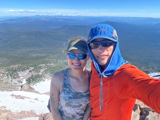
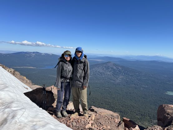
By 1 pm we finally started the ascent and the lower 1/3 of the route was a horror show of mosquitoes, as warned by the others on AllTrails etc. The hot temperatures did not help. Thankfully the situation improved drastically as we approached treeline. The mosquitoes died down and we were welcomed by some cool breezes. We encountered 3 or 4 descending parties including one with skis, and we were the last group to ascend on this particular day. There were a lot of paths to choose from and all went. We did have to do some boulder hopping and hands-on scrambling but I also didn’t pay too much attention to the route. This was overall a no-brainer type of ascent, and the highlight was the views from the summit. We spent almost an hour up there despite the lateness in the day. The snow crossing near the summit was trivial and we easily walked across in just the runners. We had brought ONE pair of crampons and ONE ice axe between the two of us just in case, but they were not required nor used.


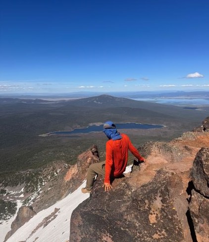
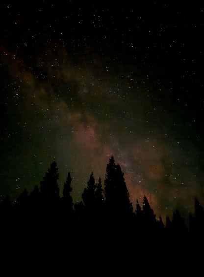
It was eventually the time to start descending, and I found the descent to be much more confusing. The terrain forced me to descend towards skier’s right away from the ridge and I had to consult with the GPS multiple times to correct our bearing. There were infinitely many paths though, and I do believe they would eventually all converge. The worst was still the final 2 miles of the distance, as the mosquitoes were even worse now. The first thing we did after getting back to the trail-head was to put on the jackets and the next thing was to hastily get into the car. We did the change of cloths in the car and then drove away. The next stop was somewhere along Highway 97 for some grocery, and then we drove further north to find a car-camping spot away from the streets. Our final objective on the following day would be Mt. Bachelor and that would help me finishing the “Cascade Volcanoes Peak Pin” list.