“Peak 703”
February 24, 2026
703m
Hope, BC
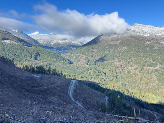
“Peak 703” is one of the handful unnamed pimples that boast over 100 m prominence in the lower Fraser Canyon not far from the municipality of Hope. I added this “peak” to the peakbagger.com database a few years ago but kept forgetting to actually do it. Quite a few fellow baggers had logged it since then and the ascents had been done from various directions. A quick check on the various map layers revealed literally a maze of logging roads and biking trails. In the end I opted to take Alan Blair’s west/north approach as it seemed like the shortest possible way.
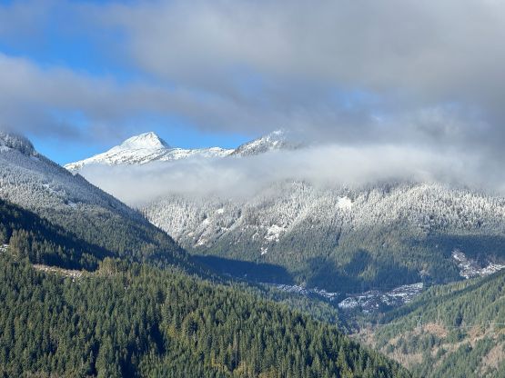
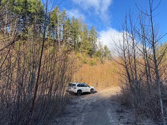
There were at least 30 cm of fresh snow in the alpine lifting the avalanche conditions to “considerable” or “high” across most regions, but the weather was supposed to be bluebird. The conditions nevertheless were not that excellent for me to take the day off work, so I settled on some lesser objectives that could be bagged as “before work exercise”. I got influenced by Alan’s recent trip to the Fraser Canyon so “Peak 703” would be that candidate. I wasn’t sure how low the snowline was so I packed boots, crampons and snowshoes in the vehicle. They turned out to be not needed. I opted to drive out from work at 10 pm in the previous evening since by car-camping at the trail-head I could maximize my sleeping hours. For a day with brutal amount of work in the afternoon/evening getting enough sleep was kind of important. The logging roads were very muddy but not snowy, that I managed to drive to where I wanted to park by midnight. It seemed like the snowline was still quite high. Alan pushed his truck a few hundred meters higher up but I didn’t think that was necessary. The 4WD terrain with pin-stripping was enough for me to turn around and park the Subaru. The starting point was not far from the bottom of Zofka Ridge route which I did a few years ago.
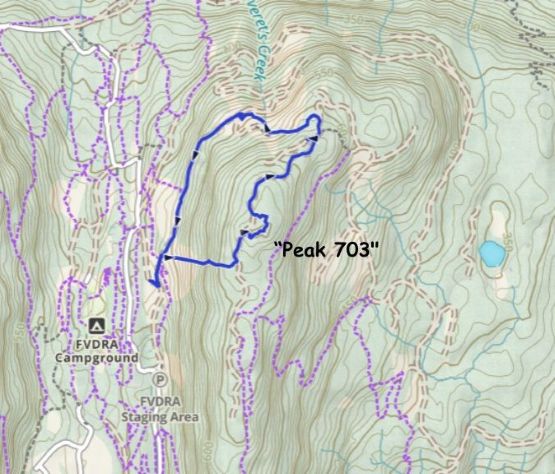
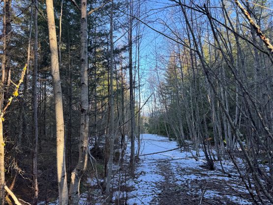
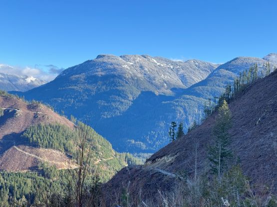
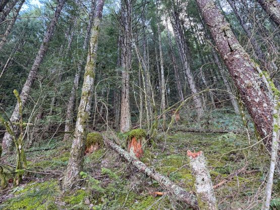
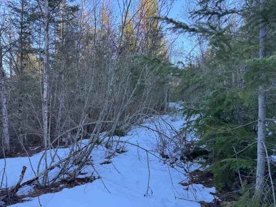
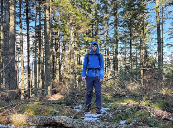
I didn’t even bother to set up an alarm and slept in till 8:20 am, and eventually dragged my tired asses out of the comfortable sleeping bag another half an hour later. Looking around I decided to leave the snow gears in the vehicle. I did encounter snow on the route but the decision to leave the snowshoes and boots behind was still correct. To be honest I didn’t bother to actually read Alan’s trip report but I did have a glimpse on his route map (and remembered seeing a “loop”). I assumed he bushwhacked straight up the west side slopes but it turned out that he took this route down, so I would be doing Alan’s loop in the reverse direction. I wanted to minimize the time to reach the summit anyway, so the bushwhacking route made more sense. The brushes weren’t thick, but there were enough blackberry bushes in the cut-block to make the thrashing notable. I decided in situ that I wouldn’t be going down the same way. There was still a long stretch of steep and slippery forest above the cut-block followed by more thrashing to reach the logging road on the broad south ridge. The logging road was clearly overgrown but there was about 20 cm of compact snow to bend the alders down. I followed this road for a while and then bashed back into the forest to search for the true summit. I visited two contenders and it’s clear that the northern one was higher. The surveyed one further to the north marked with “703” on the BC Basemap is clearly lower and in fact, I don’t even think that spot is even a local high point, so I didn’t bother to thrash further. My GPS readings were hovering around 709 m so I wouldn’t be surprised if it turn into “Peak 709” or something like that after the LiDAR survey eventually conducts in Canada. The true summit, as advertised, was completely viewless and pointless besides turning the red dot green.
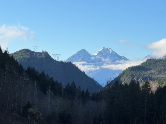
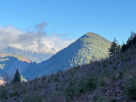
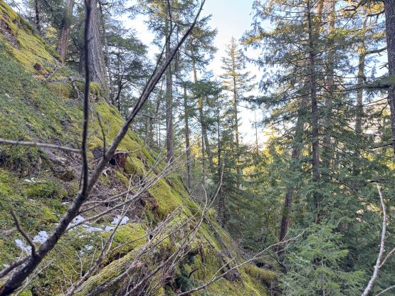
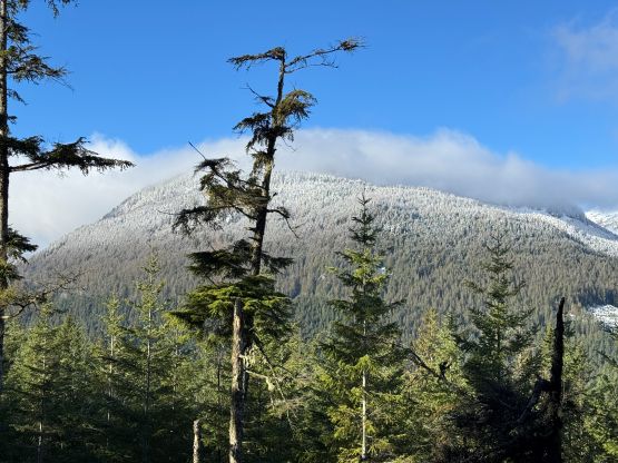
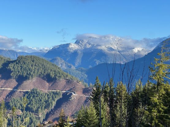
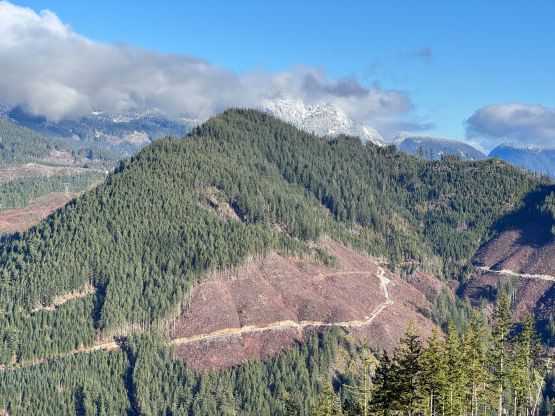
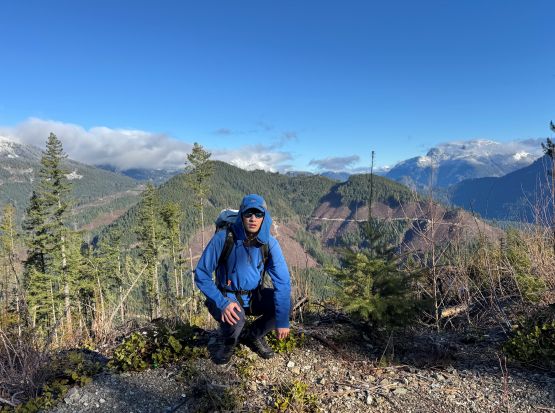
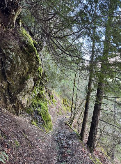
I bushwhacked directly down west from the true summit back to the aforementioned logging spur, and then jogged down the road to the north. The alders situation improved and this quickly became a more travelled trail. The old snow had also disappeared below 600 m. I made a wrong turn but that actually brought me to some nicer views so I wouldn’t complain. I then quickly corrected the mistake and found the correct turn to the west (left), and followed this biking trail eventually back to the vehicle, completing the loop. The views to the north were much better than I thought so for those into the views, the north (longer but nicer) route should be the way to go. The west side bushwhacking route would still be the faster option for those solely interested in tagging the summit. At this point I figured that I still had about 2 hours to kill so I started searching for a secondary objective. I didn’t think I would have enough time to tag “Oppenheimer South” but “Peak 580” would be too much of a no-brainer add-on. I noticed two more P100m pimples on the map that were not shown on peakbagger.com database, and instantly decided to go for the southern of the two. This outing turned out to be quite a decent one, and I later added those two bumps to the Peakbagger app.