Mount Ng’iro
December 29, 2023
2848m
Tuum, Kenya
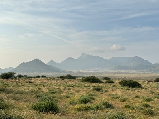
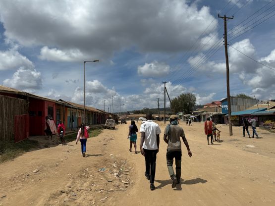
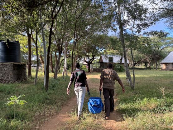
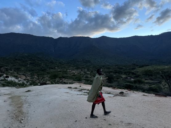
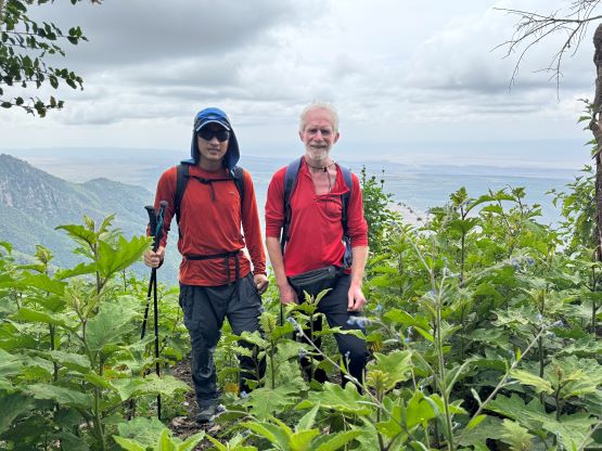
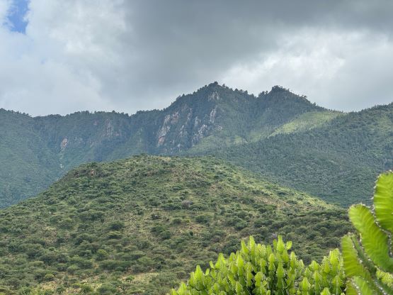
Mt. Ng’iro is the highest peak of a large, forested plateau that rises above Chalbi Desert in northern Kenya. It boasts over 1500m prominence. There are two summits with equal elevation within close proximity, so it’s important to do both to be 100% sure. The measurements that Rob and I did were not conclusive as to which is higher. I think one needs Eric Gilbertson’s fancy equipment if one really wants to know. This was the third “Ultra” that we did in this extended East African peak-bagging trip, guided by Julian Wright from African Ascents. Julian’s two Scottish friends Neil and Amanda would also accompany us on this hike, but we had several guides to ensure that we all could move at our own comfortable pace. We based in the small village of Tuum right where the trail-head locates. Julian’s brother lives here and runs a mission, and we would be spending two nights here. There was unfortunately no electric outlet, wifi nor air conditioning, but there’s at least 3G cell reception. I had brought more than enough battery packs so I’m typing out this trip report on the phone, as the computer is already dead with no way to charge. They also provided us food and (cold) shower, and the bedroom was very neat and comfortable.

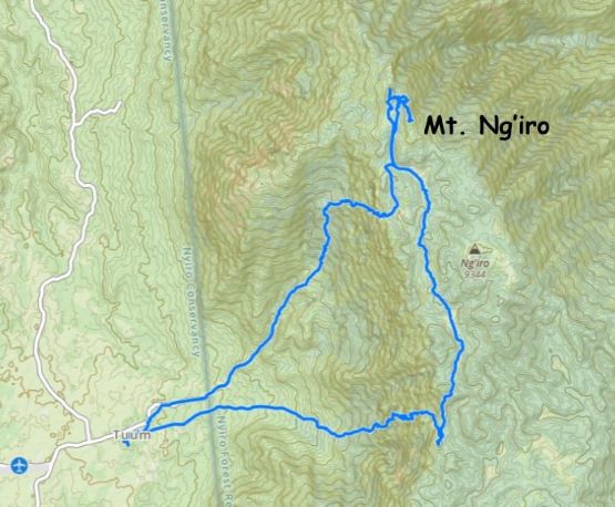
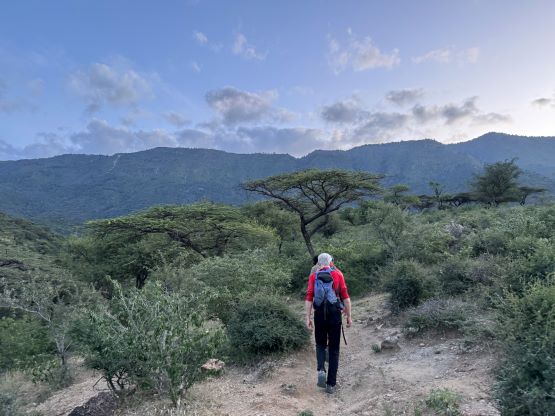
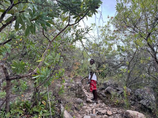
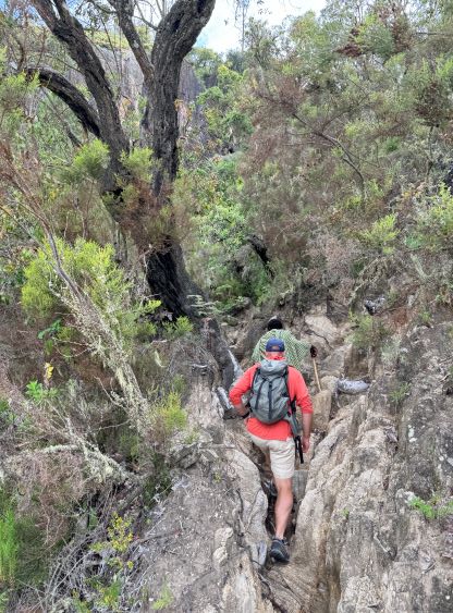
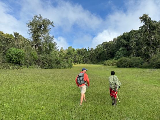
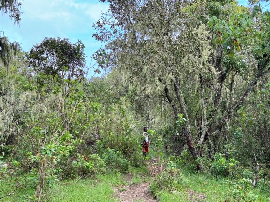
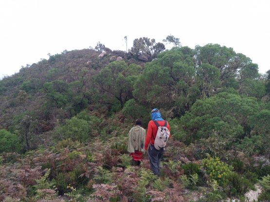
We had the entire day to do this hike but we still needed to start reasonably early to avoid the heat. Well, the heat did not turn into a problem as the majority of the hike was in the shades. There are two ways to approach and the decision was to make a loop. We would however start with the shorter route to prioritize summitting. Julian found two local guides and one of them would stay with Rob and I. After walking through the village we followed the guide and located the path. It went through some mini canyon features with some minor scrambling. There was really not much worth documenting about the unrelenting grunt onto the upper plateau. We took lots of breaks but otherwise moved at a reasonably fast pace. The 1000+ m elevation was dispatched in no time.


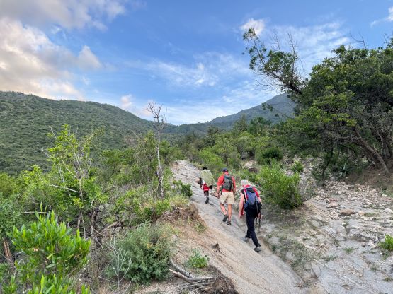


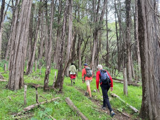
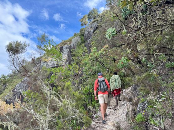
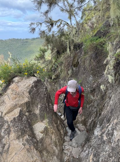


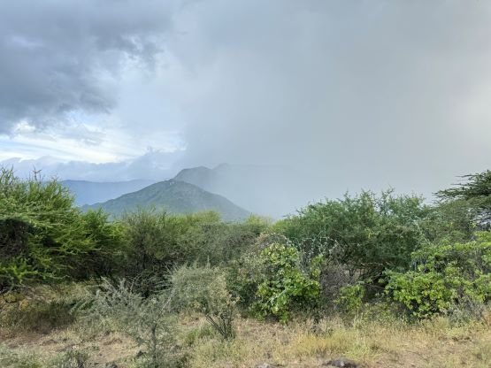
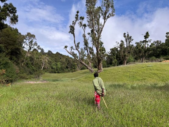
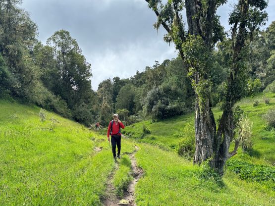
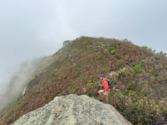
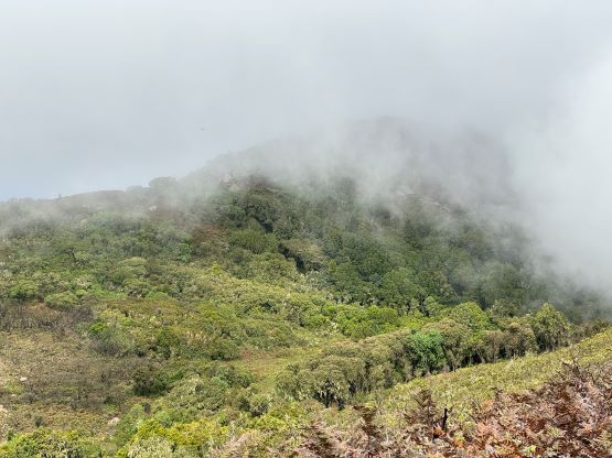
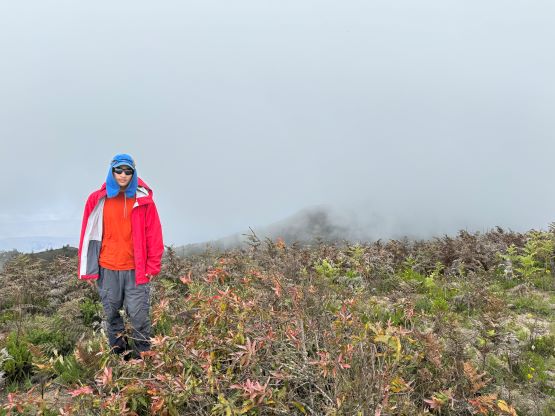
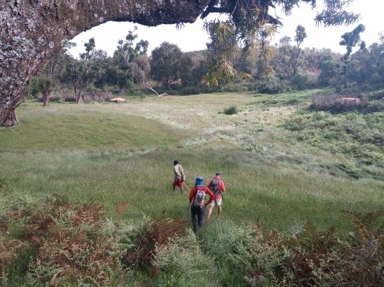
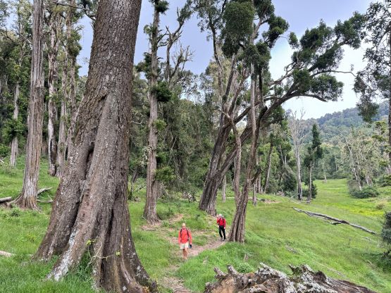
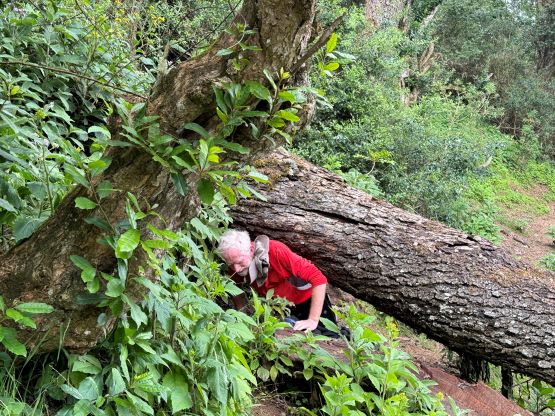
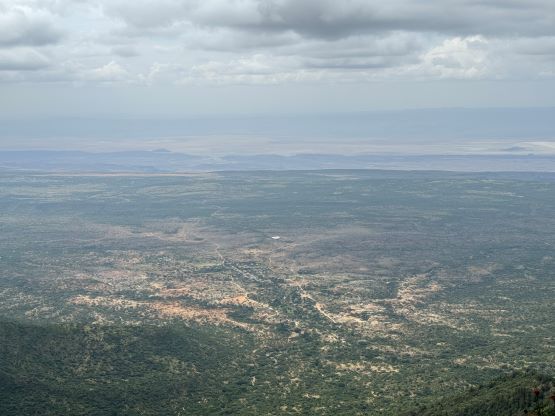
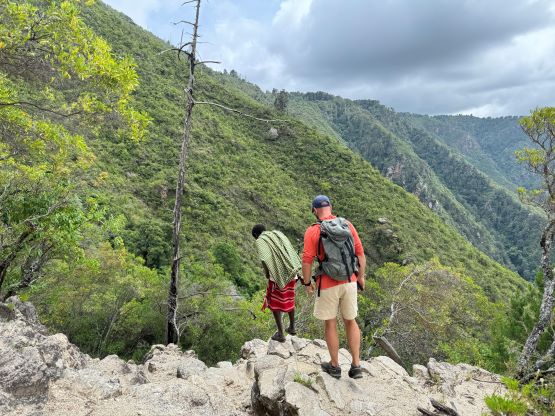
Upon reaching the upper plateau we turned left and the trail was no longer clearly visible. We had to traverse across several fields of tall grass with hardly any visible path, and the grass was sort of wet. Thankfully the trail always reappeared itself on the far side of the grass fields. There was then a short descent followed by a creek crossing using rocks, then we got ourselves on what seemed like an old road. Our guide directed us onto the north summit first, but Julian claimed the south one to be definitely higher. We were already on the way to the north peak so we might as well do both. The traverse between the two peaks required some bushwhacking but nothing severe. We were able to follow a faint path most of the way. The weather was however, not cooperating and it was an intermittent white-out. We took our time to take numerous GPS readings on both summits but a direct sight level measurement was not very possible in this weather. As a result, we could not tell for sure if one summit is definitely higher than the other as the readings were well within the error range. Good thing we did both.
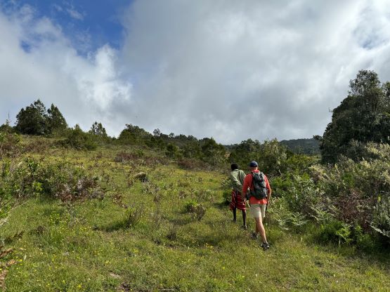
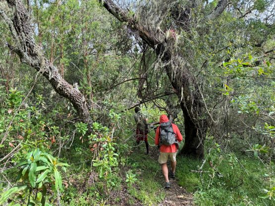
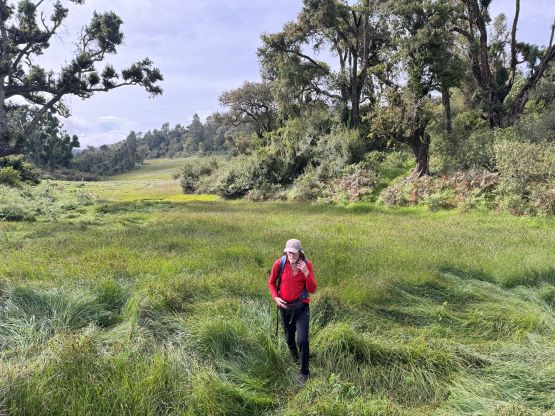

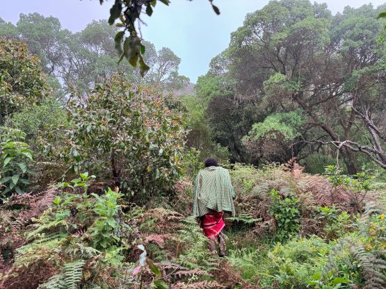
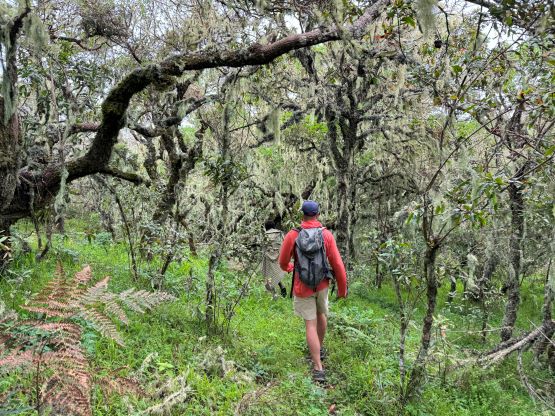
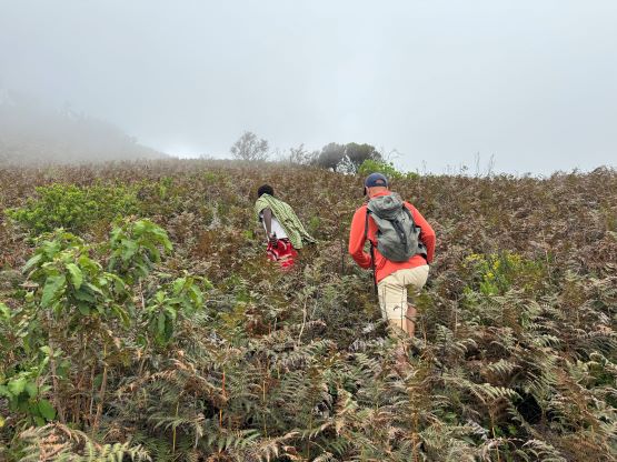
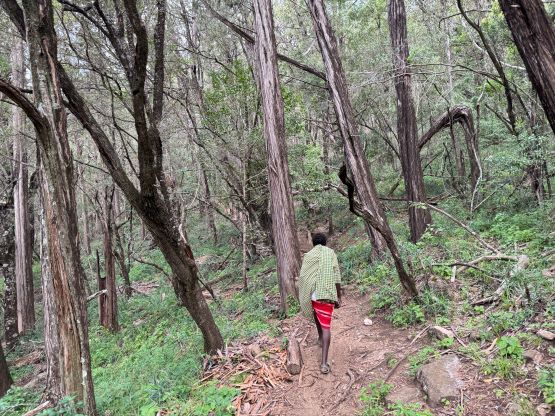
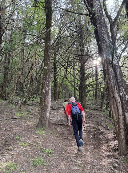
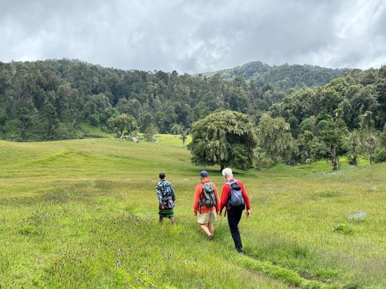
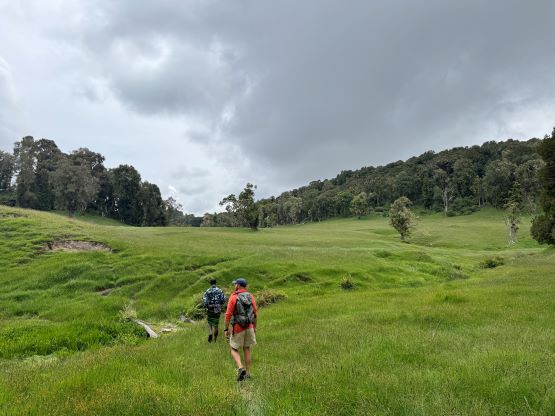
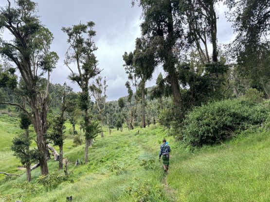
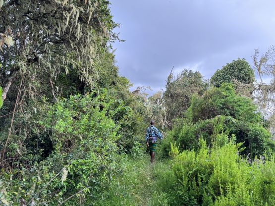
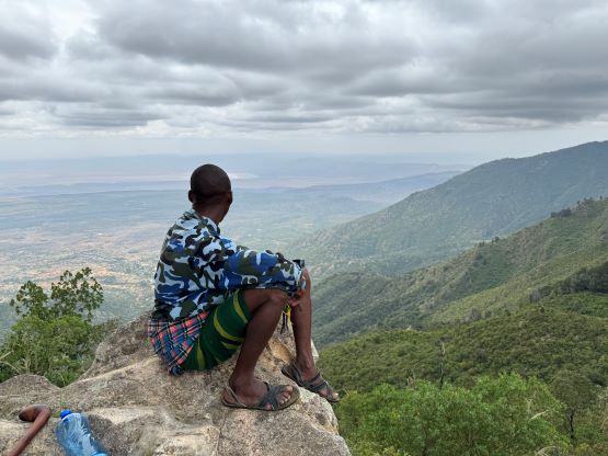
Julian’s Scottish friends showed up on the north summit together with their guide while we were descending from the south summit, so then we teamed up for the rest of the descent. I was considering to go back via the same way but everyone was keen on completing the loop. This route added at least 5 kilometers but was supposed to be more scenic, so why not. The scenic part was mostly due to traversing the full length of that upper plateau, with numerous crossings of grass fields and some cool forest. There were however lots of up-and-downs and the path was not clearly defined. This choice definitely added both time and energy consumption but I’m also glad that we saw something different on the way down. Julian, Rob and I jogged and power-walked the descent after dropping off from the upper plateau, whereas Neil, Amanda and the two local guides descended more cautiously and showed up an hour or two later. Our round trip time was 9 hours 50 minutes and we earned ourselves plenty of time to relax in the mission.


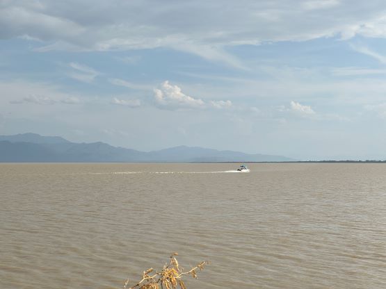
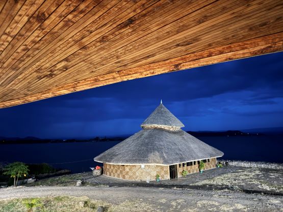
On the next day we all woke up at 5:45 am in order to leave no later than 7 am. We had another long driving day to Lake Baringo, back into the Rift Valley. Rob and I finally convinced Julian to do a short detour to check out “Poror Peak” that Adam and Petter discovered a few years ago. The true summit actually locates inside a fenced area. There’s a guard, so we had to call it by stopping at the gate. The highest point is probably 1-2 vertical meters higher. I’m not sure if Adam and Petter did the trespass, or maybe the summit area has already been modified since their visit. In any case this was entirely a dumpster-dive and could not be recommended. After another few hours of bumpy ride we got back to Maralal for lunch, concluding the 500+ km driving on dirt roads. Neil and Amanda would leave shortly afterwards so it was then just Rob, myself, Julian and Elijah. We had about an hour of driving on pavement, but then had to navigate more dirt roads and eventually made to Lake Baringo Resort by mid-Afternoon. This is a fancy resort with hot shower, buffet dinner and air conditioning. There’s still no reliable WiFi so it was very crucial to obtain the tourist’s SIM card upon arrival. I bought a package of 22G data and I estimated they all would be used up by the end of this trip.