Mount Cavanaugh
January 26, 2024
606m
Arlington, WA
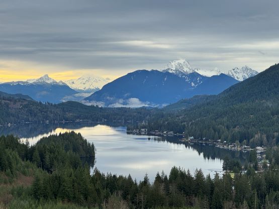
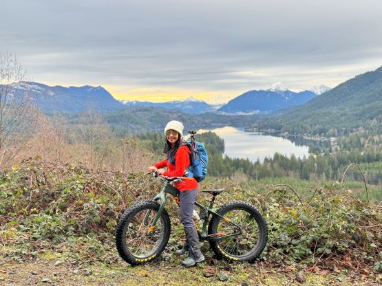
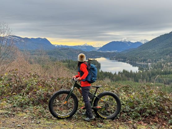
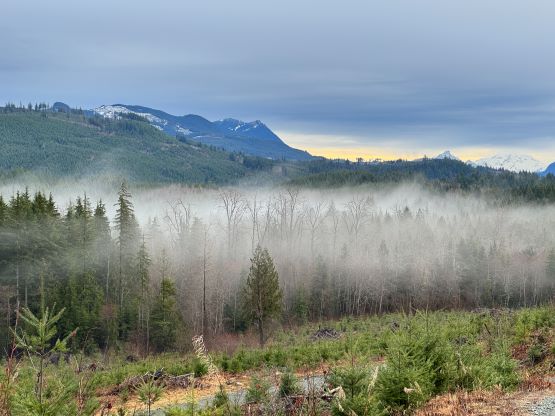
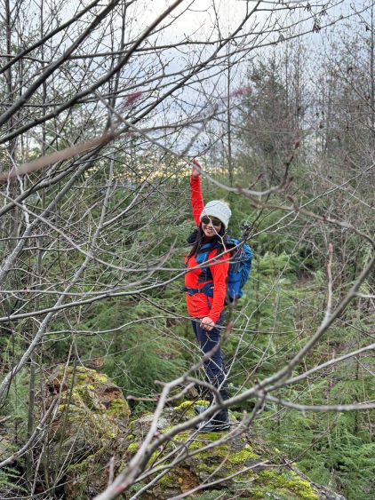
Mt. Cavanaugh is a forested hill that dominates the west end of Lake Cavanaugh on the “Logger’s Island”, a large area in the foothills of Central Cascades known for the abundance of dumpster-diving oppourtunities on mostly gated logging roads. This peak is by no mean an exception. The access road is gated and the summit is forested with no view whatsoever. The route does offer at least one mediocre viewpoint about halfway up, but that’s it. I figured the only way to make this ascent more memorable was to pedal the entire way up on a bike. This Friday morning offered the only brief break from the prolonged dreary weather and my original objective was Stimson Hill, but I had no idea about the conditions in the area. In particular I wasn’t even sure whether a bike would be more appropriate or snowshoes. Furthermore, the trespassing issues on Stimson Hill’s standard access meant I would have to sleep in my truck at the trail-head or get up at an ungodly hour, which I wasn’t too keen on doing. In the end I opted to salvage the morning with a quick grab of Mt. Cavanaugh. Kate wasn’t keen on biking but reluctantly agreed.
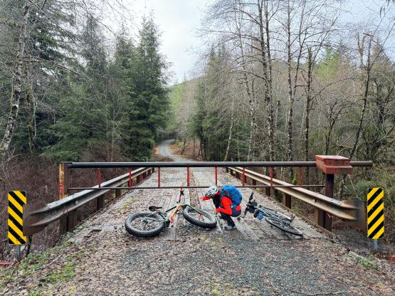
We left White Rock at 6 am in the morning and made quick work down south. While driving west into the foothills I noticed the complete lack of snow so bringing the bikes was definitely the right call. The snowshoes, on the other hand, would stay in the truck. The entire Lake Cavanaugh Road was paved and in some excellent conditions, but the gate at the start of the access road was closed and locked, as expected.
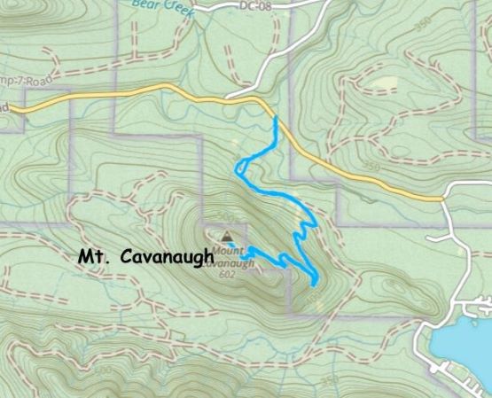
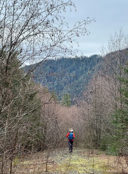
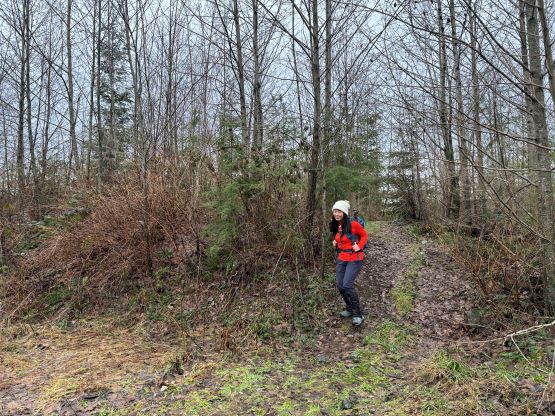
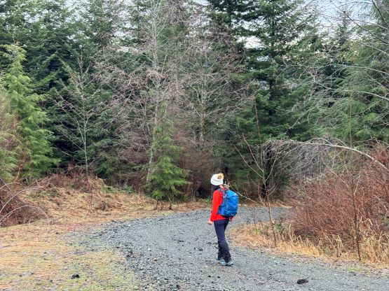
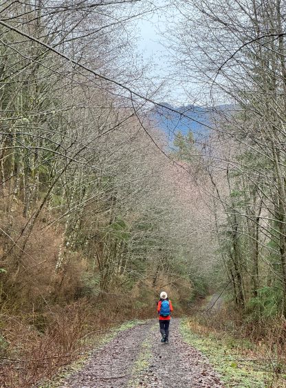
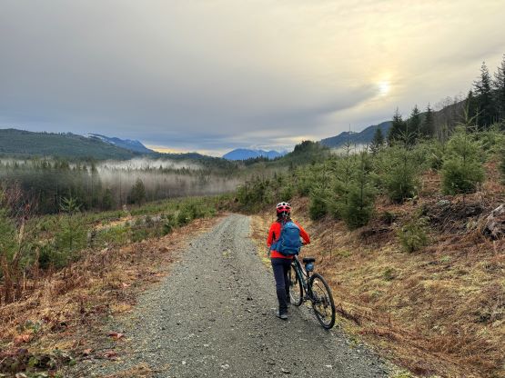
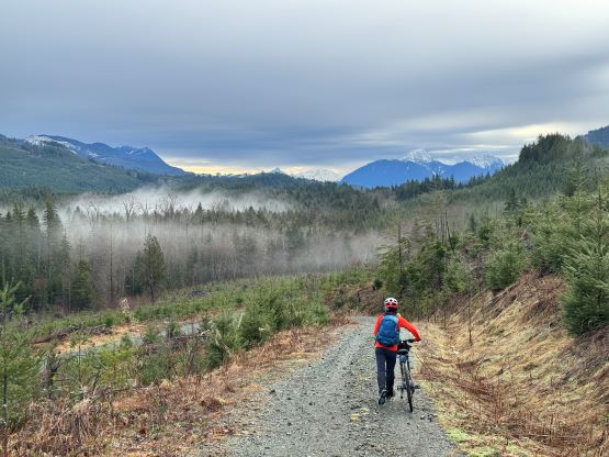
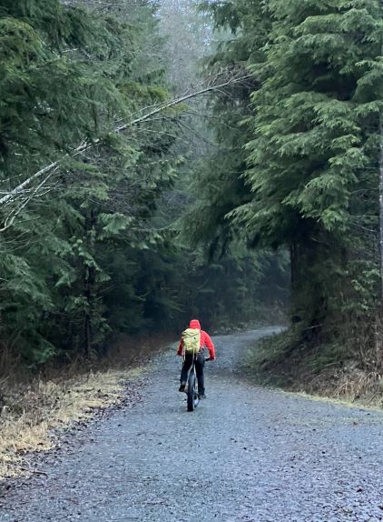
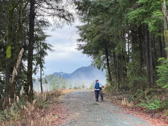
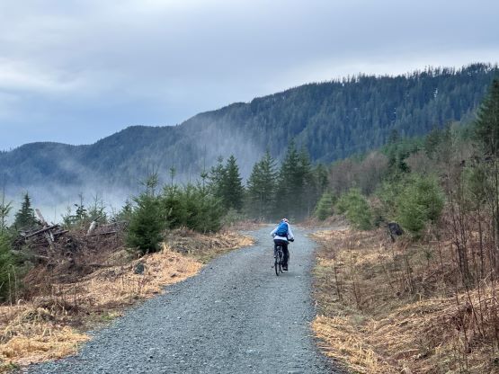
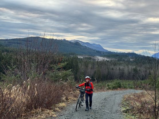
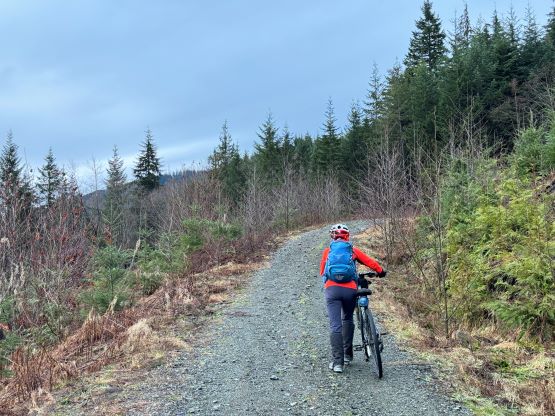
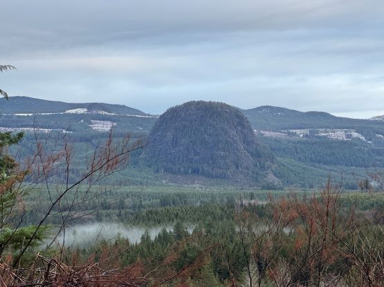
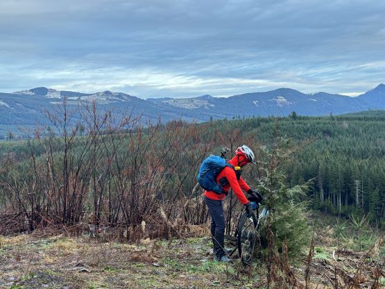
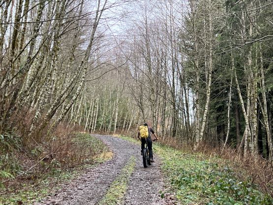
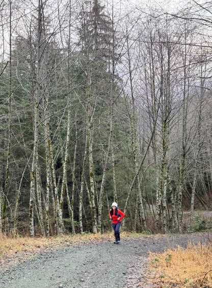
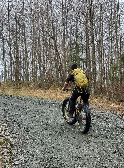
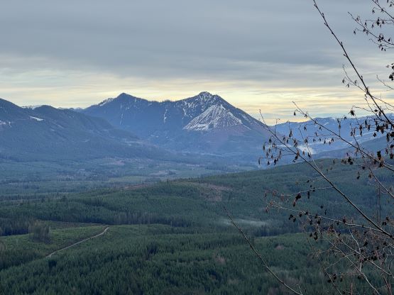
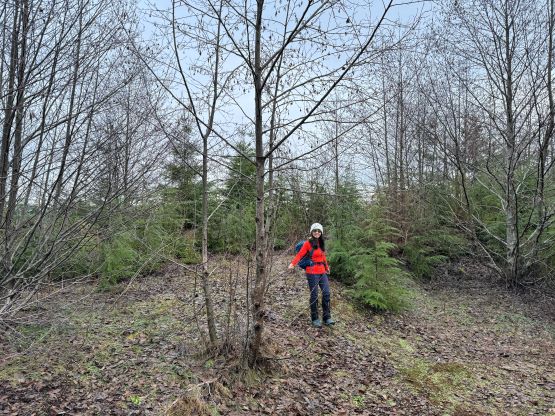
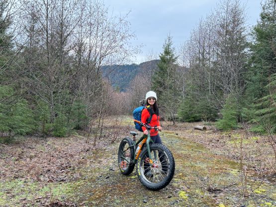
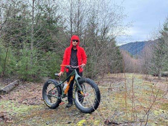
Kate and I are generally quite efficient at the trail-head so in short time we had started the pedaling. The gate required us to slide the bikes underneath. There was no prohibitive sign so our access was completely legal, for once. After the initial steep rise we came to a long horizonal stretch due east, and this section lasted for about a kilometer. Upon reaching the next intersection we took the steeper spur on the right, and Kate ditched her bike after a couple switchbacks. The grade was too steep for Kate even for going down so it made no sense to push her bike any further. I, on the other hand, stubbornly kept pedaling my way up. For many times I thought about to start pushing but I was fully warmed up and was keen to use this trip to build more uphill muscles. At about 450 m elevation we found the only viewpoint and took a brief break. The upper mountain was just as steep if not steeper, that I was really struggling on a few stretches, but I nevertheless pedaled the entire way up to the final deactivated spur on the summit ridge. There’s actually a trail to bypass the deactivation and the final spur wasn’t too bushy, so I pedaled all the way to the very summit. The true summit appeared to be on some loose and slippery boulders north of the road’s end.
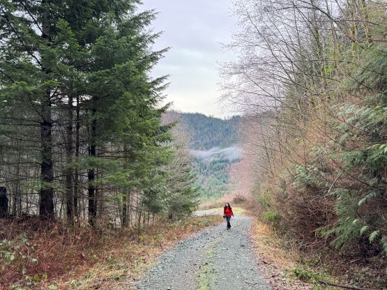
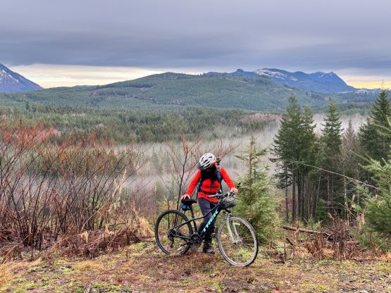
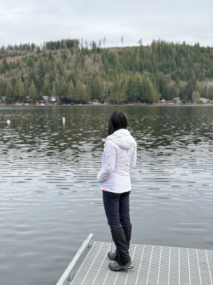
Kate jogged most of the way on the descent so I didn’t actually have to wait for too long. After dropping back down to that long and horizontal stretch Kate was able to ride/pedal the rest of the way back to the trail-head. Our round trip time was only 1.5 hours and this meant we earned ourselves enough time for a secondary objective. I was hoping for a P100m bump to the NE of Lake Cavanaugh but after driving 15 minutes we came to a closed gate. I was not keen on pedaling 10+ km for a bonus objective so we turned around. The alternative idea was Sterling Hill, an objective that I had failed in the past due to private property issues. My plan was to at least drive there and check out the access. The “no entry” sign turned out to be still there but the working site was not active, so we parked the truck and proceeded onward.