Monte Grappa
August 3, 2025
1775m
Veneto Region, Italy
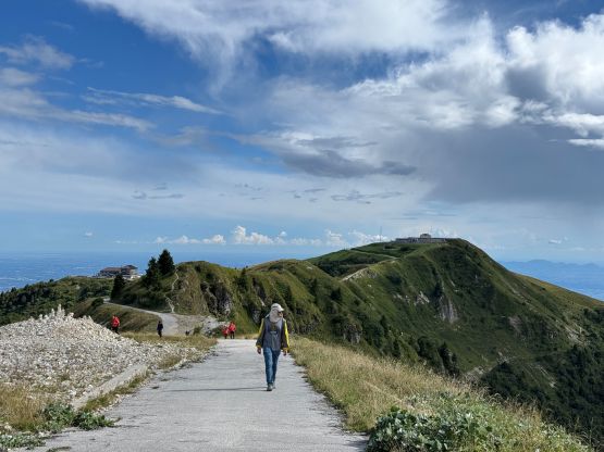
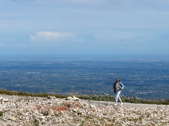
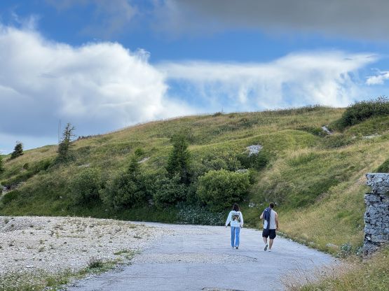
There are a few prominent peaks (P1000m+) in the very southern edge of the Italian Dolomites and Monte Grappa is one of those. This one is almost an “Ultra” but is nothing fancier than a “drive-up”. It’s actually quite difficult to not drive to the top of this mountain as the summit area is flat and rounded, and there’s hardly any worthy trail as far as I could tell. The parking lot is not exactly on the summit but the walking time should be under “a few minutes” even for the averaged human beings, on stone staircases.
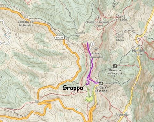
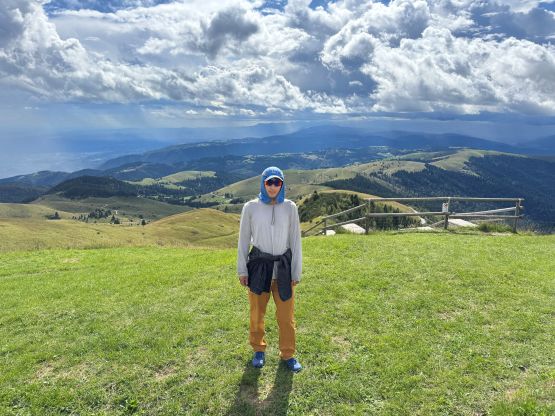
After tagging a few prominent peaks in the southern Dolomites Adam and I were looking at something as simple as possible before driving eastwards into the Julian Alps. Monte Grappa seemed to be the easiest of all. I was very tired so Adam drove us up to the summit area by taking the road from the north. It was narrow and sketchy that we had to back down a few times to let the down traffics pass. There was some military structures on the summit so the access to the true summit was a bit tricky. I found a “backdoor” way by thrashing through some stinging nettles but Adam found the “right way” after turning on the Peakbagger app and reading Deividas’ trip report. I was too lazy to research so simply did my usual tresbagging practices.
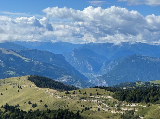
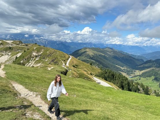
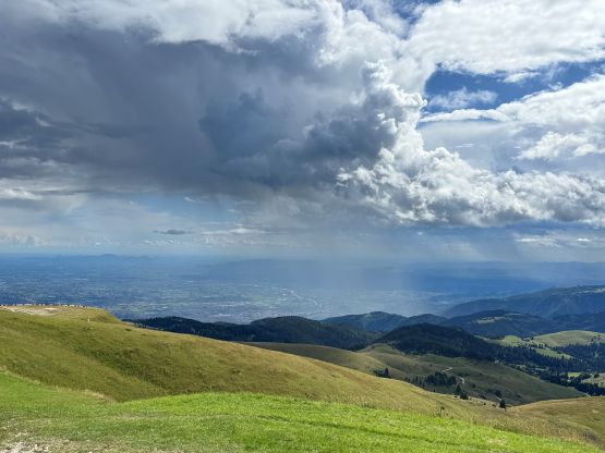
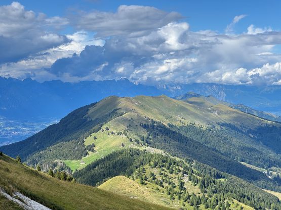
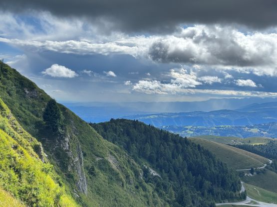
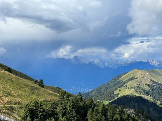
I noticed the north top being almost as high and a quick check on the Gaia map showed that they had the exact amount of contour lines. Rob Woodall’s trip report mentioned that they were of equal height, so despite the on-and-off thundershowers we must go there. The traverse to the north summit and back took a while and the round trip was over 2 km distance. This was actually good because I didn’t quite want a P1400+ summit to be entirely a “drive-up”. Afterwards I drove us down the southern access roads which weren’t nearly as terrible, and then we took turn driving another 3-4 hours eastwards to the trail-head of Jôf di Montasio.