McMurray Benchmark
February 14, 2024
427m
Arlington, WA
This hill that sits to the SW of Lake McMurray boasts over 300 m prominence. It’s officially unnamed, but the government had put up a elevation benchmark on the summit, labelled “McMurray”, so this name “McMurray Benchmark” is technically the name of the surveyor’s trig point instead of the peak itself. This was not the primary objective when Kate and I decided to head south. Our Plan A was Stimson Hill but our access was denied by active logging. The shorter (south) access for Stimson Hill requires one to trespass some private properties so we left home at 5:30 am hoping to beat the landowners. We made there in 1.5 hours and the gate was surprisingly open. I normally would park the vehicle and walk the road because there’s always a risk of getting ourselves locked in upon returning, but I decided to take a chance this time by driving ourselves up. This was definitely the correct decision, as a few kilometers beyond that private house we came to a logging crew. Had we gone up on foot we would have to turn around as well, so we did not waste any energy on the attempt. We did meet a worker near the bottom gate on the way out, and learnt that the logging was a “big project” that would last at least 6 more weeks, so there’s no access to Stimson Hill for a while.
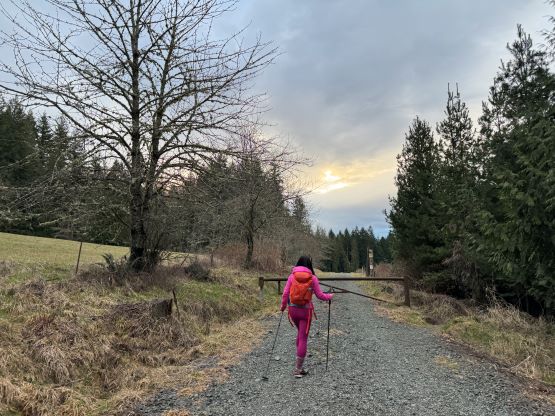
Instead of going home I proposed that we should at least do something. I did come prepared with two back-up plans, and one of which was McMurray Benchmark. I only downloaded a GPX track and the route started from the south side, which seemed to be the shortest way anyway. I made Kate to drive us there as I was tired, and it took about 25 minutes. The southern access to McMurray Benchmark was unfortunately in some private properties and the trails were all officially closed for the season, but we decided to ignore those signs and play the gambling game. It wasn’t as early as I would normally want for an ascent involving trespassing, but this was also not a peak that I cared about that much.

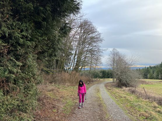
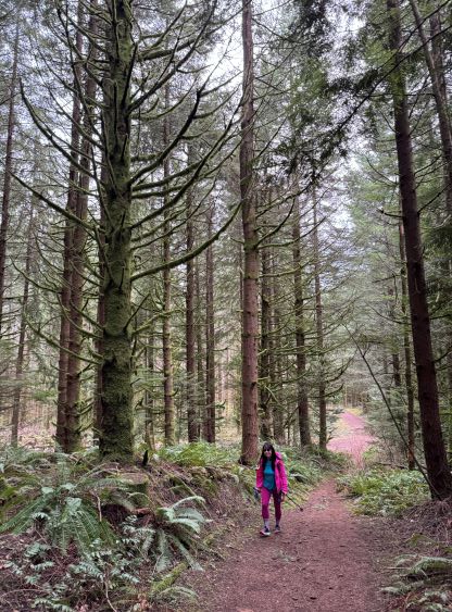
Minutes after we walked around the first gate a truck came from behind. We were at least 200 m away so I did not inspect the situation closely, but I was sure that this was a working truck and the person was going to open the gate. I was correct, but the truck never came towards us, so maybe the person wasn’t working for the enforcement department. I was fully prepared for a long conversation and having to turn around, but that never happened. There are many trails/roads to choose from, and I just followed the path with the least resistance. The entire way was on a road except for the final 500 m, which was on a trail. There was no view from the summit, nor did we have promising weather anyway. It was raining and snowing when we drove there, but the actual weather was “mostly cloudy”.

There’s not much worth noting about the descent. I was thinking about taking another way just to make the most use of this dumpster, but decided to take the same way back for efficiency. I again, was anticipating to get lectured at the gate but that did not happen. The gate had been opened and the truck was still there, but nobody was around. I was honestly a bit disappointed but reluctantly walked back to the vehicle and drove home afterwards. We got back at 10:30 am so I earned myself plenty of hours to rest before showing up at work in the afternoon.


