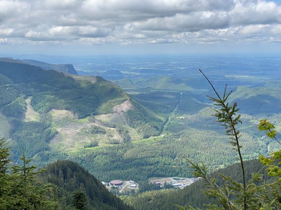
McDonald Mountain
June 1, 2023
1088m
SE of Seattle/Bellevue Area, WA
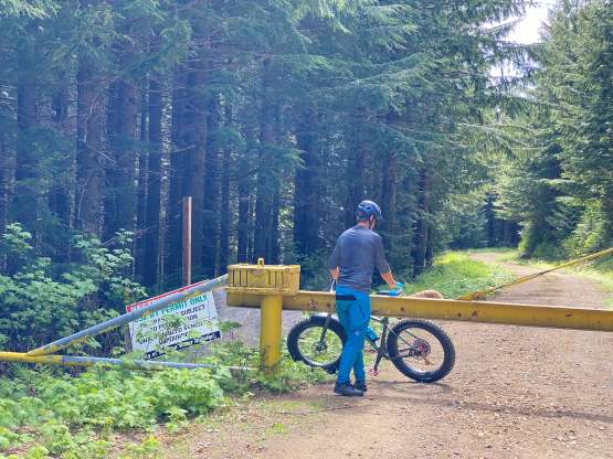
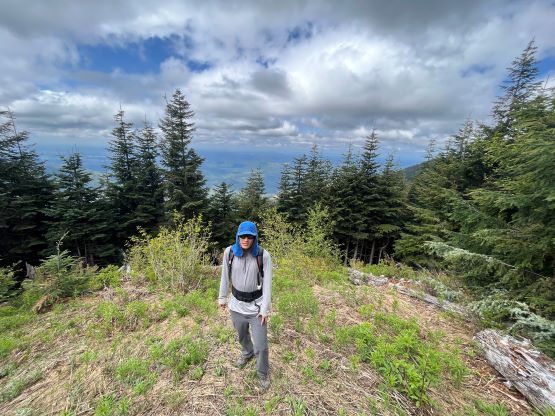
There are infinitely many peaks named “McDonald” and this is a lowly, but prominent one south-east of the broader Seattle vicinity inside Green River Watershed. The entire mountain is forested. There’s a viewpoint on the north-west end but the true summit is a few kilometers further down the ridge. Most of the flanks are riddled with logging roads but those are gated at the bottom making biking the ideal way to tag this peak. Most folks opt to do this objective in winter but in snow-free months one can bike to within a stone’s throw from the summit, so it’s not a bad idea to save McDonald Mtn. for a summer ascent.
Matt suggested to do another P600m objective on Thursday but I would still be travelling homewards after Mt. Everest. I immediately turned down the invite but then I checked the calendar and changed my mind. I would be arriving in Seattle on Wednesday so if I cancelled my bus ticket and Matt drove down southwards to pick me up then we could actually do something. The drawback was that I did not travel with my duffel bags (those were to be shipped to Canada separately) so I had no mountaineering gear whatsoever. If we could find something snow-free then I’d be down. Given that it’s only early-June our objectives would be limited to the “dumpster-diving” category, but this spring had been incredibly hot and dry that a lot of peaks had already melted out. I suggested McDonald Mtn. with a bike but Matt changed the plan to Snow King and Elbert further south. Our eventual decision was McDonald Mtn. thank to the heavier-than-usual Seattle traffics. Matt did not arrive in my SeaTac hotel until 8:45 am, almost 2 hours later than planned. Matt arrived in his brand new Jeep with both of our fatbikes and the drive to the trail-head took another hour.
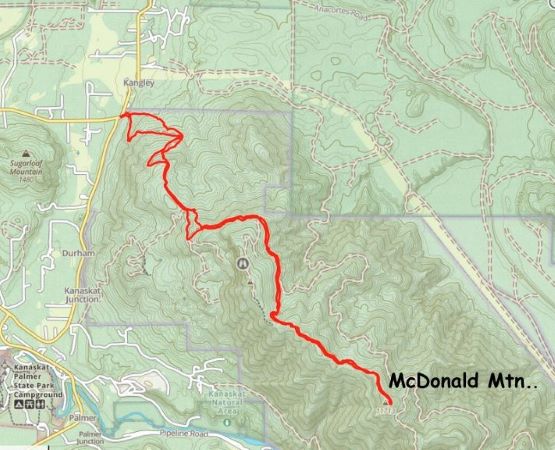
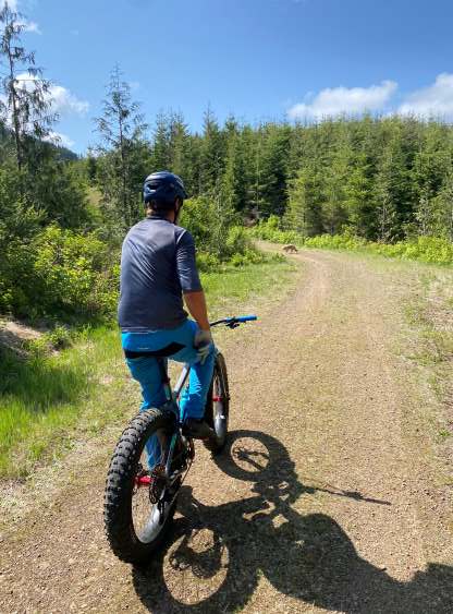
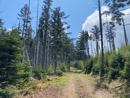
The bottom few kilometers of the route was heavily overgrown and I’m not used to biking uphill on singletracks, so I pushed my bike for most of this section. Some of the bushes were thorny making me wonder why we even bothered to bring a bike. But then a few junctions later we popped out onto a reactivated forestry road and the roads stayed wide and open until the very top. Another few junctions later the road had become even wider making me wondering where the heck these roads originate from. Some of them were definitely not shown on my Gaia map nor even the satellite images, but I’m sure all of those are gated at the bottom as otherwise people would have driven up this peak. Some parts of the roads were steep enough that I had to push the bike and there’s one annoying 100-m elevation loss that must be regained on the descent. It’s too bad that the true summit was further down the ridge but at least I’m glad we did not have to walk all of these distance like some of the other parties did. The uppermost section was reactivated to within 100 horizonal meters from the summit, such that there wasn’t much bushwhacking needed, contrary to what others had described. The one-way distance was almost 10 km so this wasn’t as short as I anticipated.


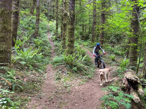
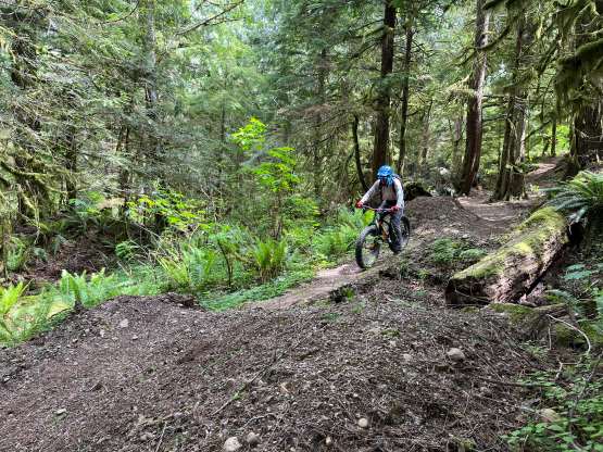
After reversing the undulating summit ridge traverse on the FSRs I followed Matt’s lead biking down some unknown MTB trails. These trails were not as easy as Matt expected so I had lots of trouble. I ended up walking the bike down for at least 30% of the distance but the goal was to not crash and I did succeed on that. Lower down we found some smoother trails that I was actually able to enjoy. Most of these trails weren’t shown on the maps and we also did not encounter a single soul in this outing. Our round trip time was 3.5 hours. We got back to Bellevue at lunch time and home in a few more hours. I left Canada on April 3rd and got back on June 1st, almost 2 months later.