Khasagt Khairkhan Uul
August 25, 2024
3578m
Altai, Mongolia
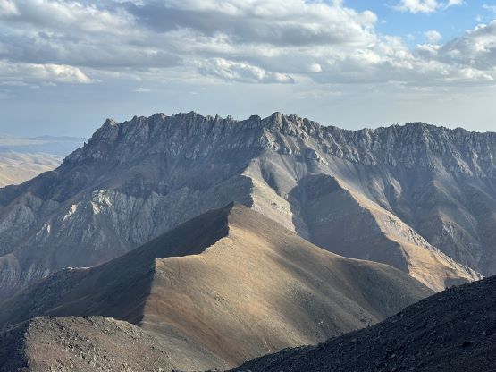
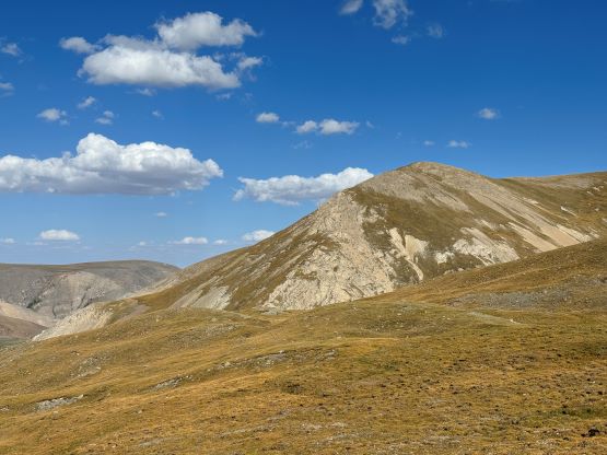
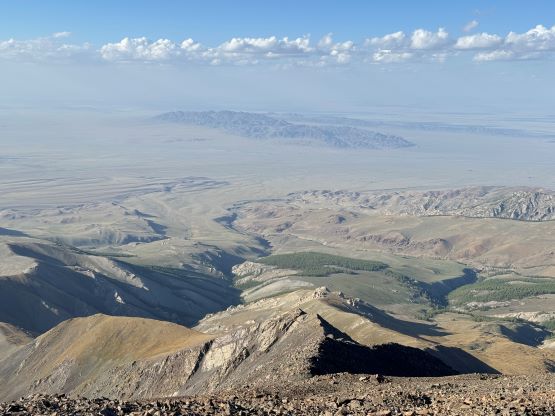
Khasagt Khairkhan Uul occupies a large area about 80 km north of Altai in central Mongolia and the highest peak on this massif boasts over 1500 m prominence. Rob and Deividas had figured out the solution a year ago by attacking from the north and their route involved no more than 1000 m elevation gain on generally easy terrain. Their route looks legit and I could not easily find a better way by looking at the satellite images, if there’s any. The roads could be rough but they are at least labelled on the Gaia map so I thought this would be a no-brainer objective, especially comparing to the previous few Ultras that we did with absolutely no “beta”.
We were based in a nice hotel in the previous night in Altai and that was a welcoming change from the never-ending camping that we had been doing. Gangaa said that they needed to do some shopping so we wouldn’t be leaving until almost noon. I was hoping for an earlier departure but whatever. Despite the previous party’s ascent the navigation to the trail-head was not as straightforward as I thought. I was thinking to drive towards Taishir and then Jargalan to position ourselves for the north side approach, but Manlai and Gangaa wouldn’t like that. Gangaa specifically wanted the shortest possible route so I went back to the maps again. I drew a line that aimed NW without doing much detouring, but Gangaa doesn’t use GPS and Manlai doesn’t have an iPhone so there was still no effective way to communicate. I did think that they knew where we would be aiming at and at least we were finally starting to communicate to make a “plan” as a team, after spending 25 days together.
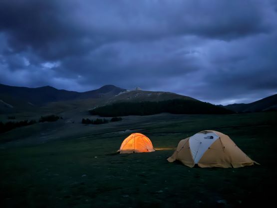
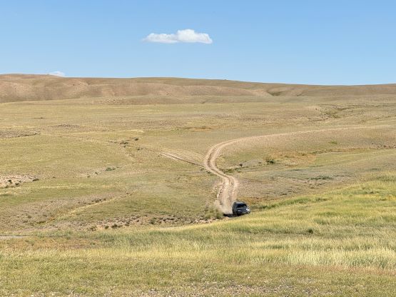
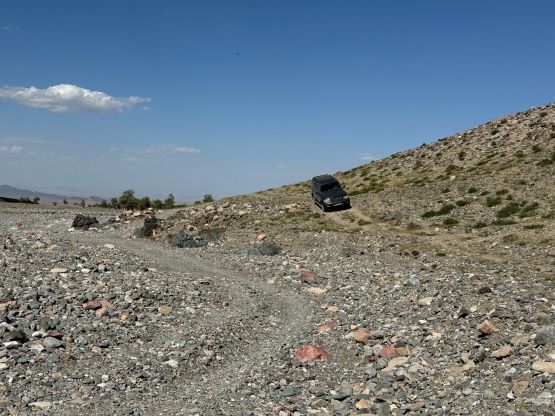
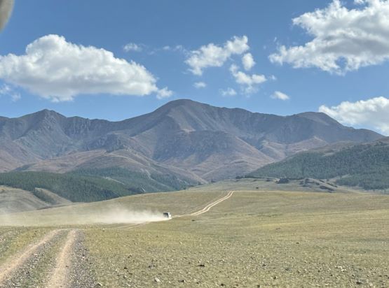
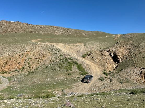
We did end up driving towards Taishir but left the main road (still unpaved) much earlier because the mountain was to our left. The Mongolian way was to firstly see the peak, then aim towards it. This resulted in at least 5 km of cross country driving without being on any road but we eventually merged onto another road that would go north to Jargalan. This was neither my original plan nor the “shortest possible way” based on the satellite images but somewhere in between. Manlai led the way and I didn’t want to say anything as the general bearing was correct. We never ended up being in Jargalan but tried hard to make short-cuts sticking as close to the north slopes of these mountains as possible. At one point my Gaia’s road failed as the road turned into a singletrack, but at that point we were only 6 km away from Rob and Deividas’ driving track so Manlai would find us a way there using their typical Mongolian method. A few more roads that were nowhere shown on the maps were spotted by binoculars and we did eventually get back on track without much detouring. To drive to the basecamp we had to negotiate one extremely steep hill that seemed daunting for one of the Landcruisers without the low range, but ended up being not a problem at all. We parked about 50 vertical meters below the other party’s starting point as this spot was better for setting up basecamp.

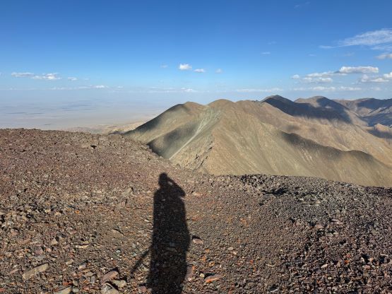
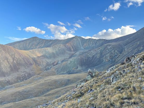
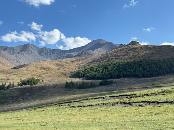
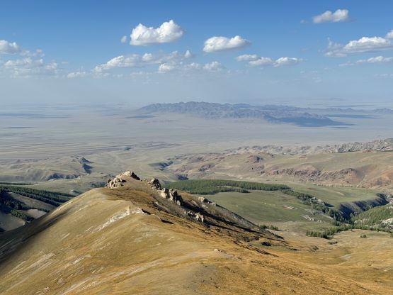
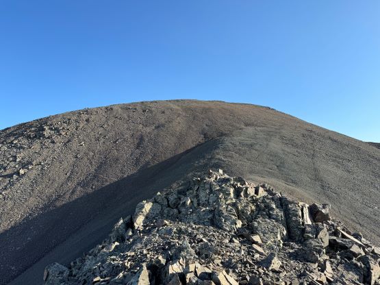
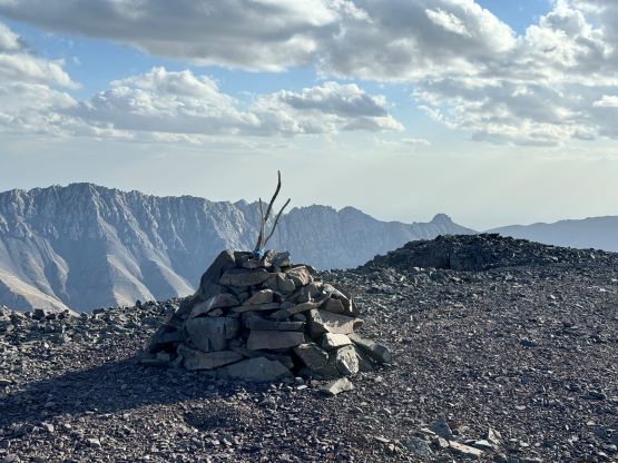
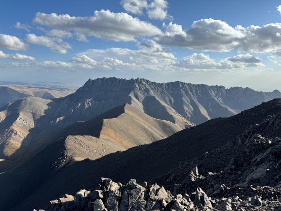
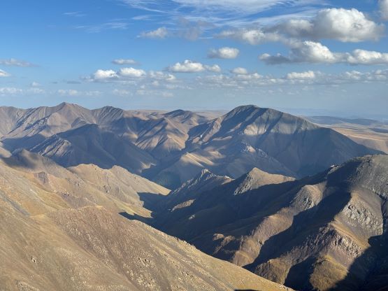
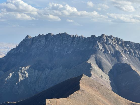
We made there at roughly 4:45 pm and I made the spontaneous decision to go for the summit in the afternoon. Petter wasn’t keen and neither was Manlai but that’s fine. I did remember reading the weather forecast that the following day was supposed to be rainy. The forecasts were not to be trusted based on our experience in Mongolia in the past few weeks but it was sunny right now so I must make use of that. I hastily packed and left the camp at 5 pm. I estimated 3 hours round trip and the rest of the team could use this time to prepare for our Mongolian barbeque dinner. I made a gradual side-hill traverse into the broad valley on the climber’s left side and followed this valley (at times, a little wet) back onto the ridge crest. The rest of the ascent would then be done on the ridge so I preferred to have zero chance of lightnings. There were a few steep and loose sections (class 2) and I bypassed a few minor bumps on either side of the ridge but overall the ascent was no-brainer. I did not make a single stop and made the summit in 1 hour 27 minutes. I managed to catch some cell reception on the summit so stayed for almost 15 minutes reconnecting on the socials including making an Instagram post. That had to be done before the next objective and I wasn’t quite sure about the services situation in the Gobi so I’d better get it done while I could. It turned out that the next campsite had quite decent reception but there’s no way for me to know beforehand.


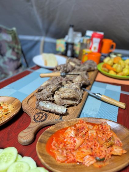
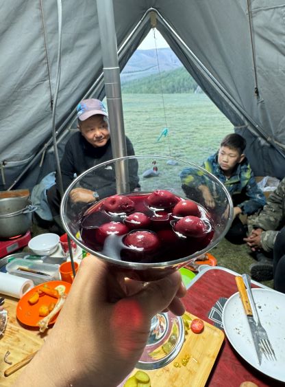
Eventually it’s time to descend as dinner was calling. I wasn’t quite sure how fast I wanted to go down but I ended up jogging most of the easier terrain and made a single dash back down into the valley, roughly following the exact same route. I did have to make an annoying stop to dump scree out of my shoes and that costed a few minutes of delay. Eventually I thought I could beat the 2 hours 30 minutes round trip time and I did manage that with less than a minute to spare, but had to run the flats at the end. The barbeque dinner was served within half an hour and then the thunderstorms came at night. I honestly was not expecting the weather to turn that quickly but I couldn’t care much at this point. There was some strong winds and periods of heavy precipitation overnight but the thunders weren’t actually that bad. The storms passed in the morning for Petter and Manlai to make their ascent. I’m definitely a morning sleeper so I slept all the way to 8:30 am but then it was getting too hot to be inside the tent. I lazily crawled out and finished the trip report (offline) while waiting for my breakfast. Petter and Manlai finished their round trip in 4 hours and we took a better way out back to Altai afterwards. We then drove eastwards for a few more hours down the Ulaanbaatar highway to a riverside camping area with cell services.