Keşiş Dağı (Esence Dağı)
July 19, 2024
3546m
Erzincan, Turkey
This is the highest peak of the large area to the immediate north of Erzincan and there are at least two names. The name used on peakbagger.com which I assume was adopted from Google is Keşiş Dağı but the summit has a sign of Esence Dağı. I’m not sure which is the more commonly used name so I’m using both. This peak boasts over 1500 m prominence hence it’s another “ultra”. It was not on the original itinerary but Deividas, Dave and I somehow managed to squeeze it in. The original plan of the 19th was to drive 6 hours to Igdir and fly from there to Istanbul but we were already in Erzincan and why not fly directly from here to Istanbul. This would free 6 hours from us. We had “beta” from the fellow peak-baggers’ trip 13 years ago, in which they drove all the way to 2900 m elevation and did the peak in something like 5 hours round trip. We are considerably faster than some of those guys and we thought 7 hours would be sufficient enough for the round trip from Erzincan. After finalizing the plan we cancelled our original flights and booked the new flights, and Deividas even managed to secure our private driver with a reliable 4×4 vehicle for 300 dollars. I considered this to be expensive but splitting three ways it wasn’t too bad. This driver had gotten us to the road’s end on Akbaba in the previous day so we knew him and his vehicle were both reliable.
The driver came to pick us up at 5 am on time, but our hotel check-out was a bit of a gong show as the credit card machine was not working. Thankfully we all had plenty of cash with us. We eventually left the hotel about half an hour later than planned. The start of the unknown dirt roads would be in the village of Yaylalar on the north side of the mountain, and there are two ways of getting there. We ended up taking the shorter way in and the longer way out, and from the time perspective they were roughly the same. The shorter road had a long stretch of gravel section which slowed us down considerably. We used the Gaia map to direct the driver to that village of Yaylalar and from there we would switch to satellite images. Deividas had done his homework in the previous evening and mapped out the driving route, and it turned out to be mostly as expected. The main creek crossing was scary but wasn’t as bad as it looked. The driver got out to inspect and the decision was made to go for it. There wasn’t anything else worth noting but we gained almost 1000 m from Yaylalar to the road’s end. Some sections were loose and muddy and having 4×4 with decent power was a must. We eventually parked at the exact same place of Ken Jones’ GPX track starting point.


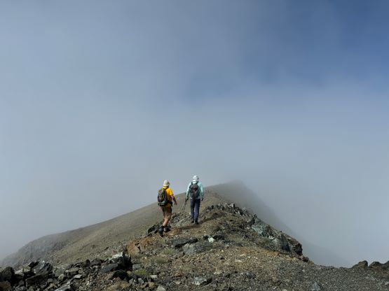
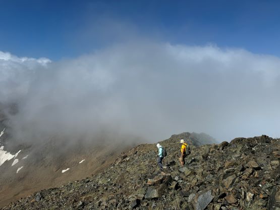
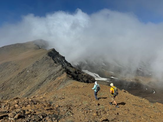
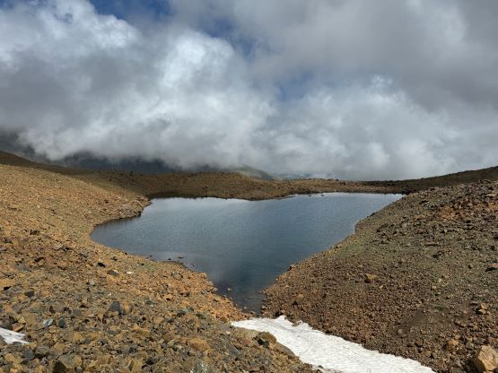
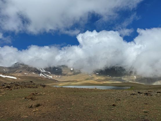
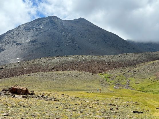
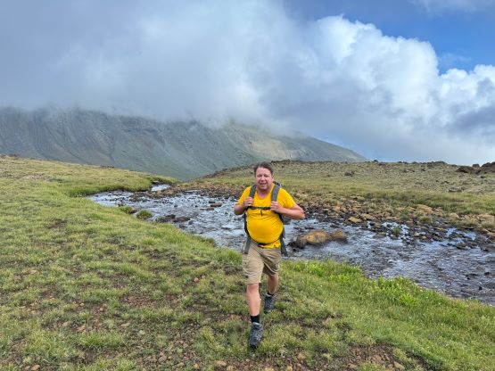
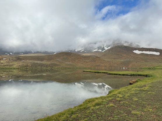
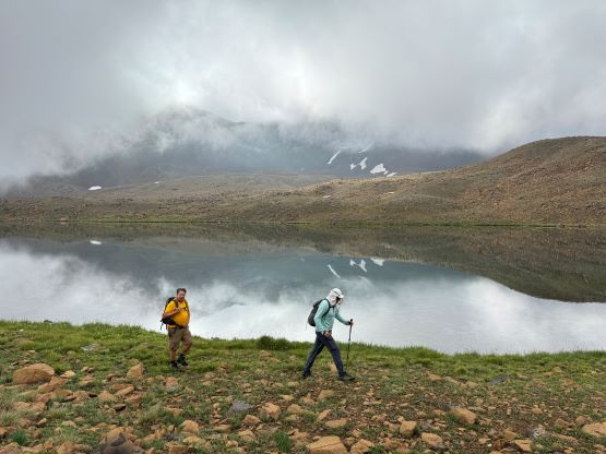
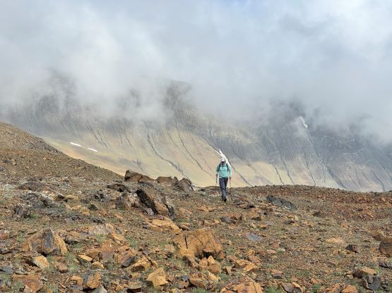
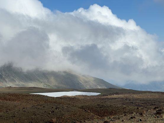
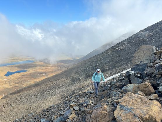
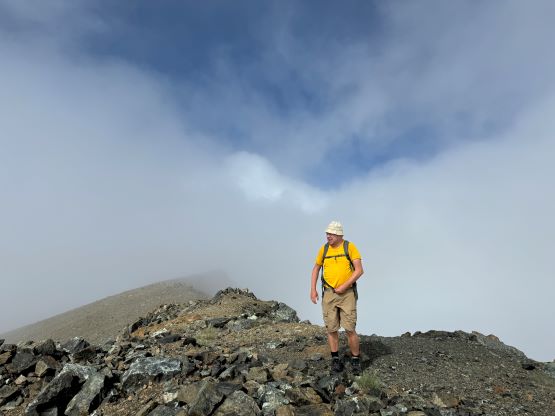
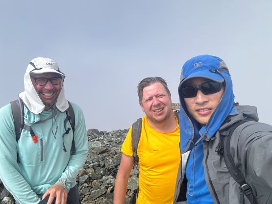
Adam was not feeling well again, so it was only Dave, Deividas and myself starting. The weather was overcast but there were signs of improvement. On the way up we decided to strictly follow Ken Jones’ GPX track traversing the west shore of the second (larger) lake. We got some nice views there despite the overcast weather. The kilometer-long traverse from this lake to the base of the peak was the most tedious as the terrain was mostly talus and boulders with lots of up-and-downs. Thankfully most of the boulders were stable. We started gaining elevation rapidly at around 3200 m elevation and it was also here that we picked up some faint trails and a few cairns. The trail definitely helped us from time to time. The section immediately below the SW Ridge had some brief hands-on scrambling but nothing exceeded the realm of “class 2” and it wasn’t as chossy as it appeared. We entered the clouds on the final plod up the SW Ridge and the summit was unfortunately soaked in during our half an hour’s stay.


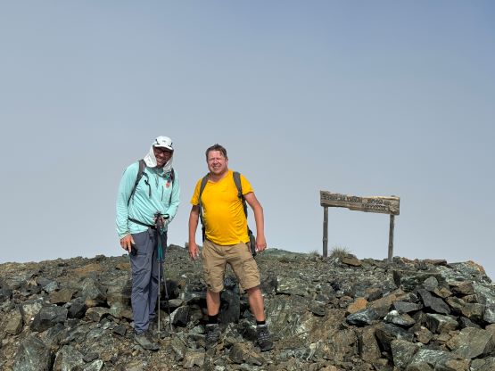
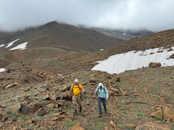
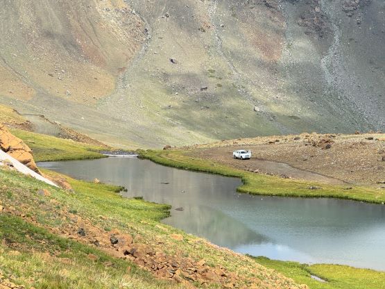
There was some sporadic cell reception so we lingered on the summit for a while before deciding to descend. I stayed behind Dave and Deividas initially as I was tired of thinking, but eventually I went ahead and did a different route to get back to the road’s end. We stayed on the east side of that larger lake and the terrain was actually quite nice. The area reminded them Scotland and I thought it’s rather beautiful despite the cloudiness, so maybe I’ll go bag some peaks in Scotland in the future. The drive-out was uneventful and we even earned ourselves enough time to do a proper lunch stop. We then learnt the concerning news of the global cyberattack on Microsoft’s system, and we are now in Erzincan airport and let’s see if we can get to Istanbul tonight or not. Well, we did.