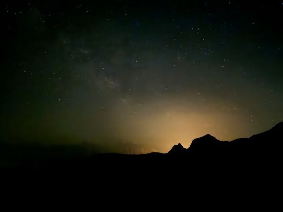
Kara Dağ
July 10, 2024
3752m
Hakkari, Turkey
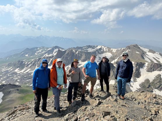
Kara Dağ means “Black Mountain” in English and is a bit of a generic name for the highest point on Berçelan Plateau in Hakkari province of Turkey. This is in the easternmost corner of the country, only ~30 km from the border with Iraq and Iran, and also fairly close to the border with Syria. This peak boasts over 1200 m prominence but wasn’t the original plan. The “plan A” was the highest and the most prominent peak in the area (Uludoruk/Reşko) but the military decided to close the access in short notice, after we had already booked the tickets and made plans with the guiding company. This trip was organized by Deividas and included 4 of the Top 10 global “Ultras” baggers (Rob W., Adam W., Dave H. and Deividas V.), plus myself. Deividas did all of the communication and planning and all I needed was to book the airlines and show up. I didn’t even know what peaks we were going to climb until the very last minute, and I definitely didn’t know that we would be traveling next to three of the world’s most troublesome countries, but it’s actually very cool. Turkey is not considered as in the Middle East but this part of the country definitely feels more like the Middle East.
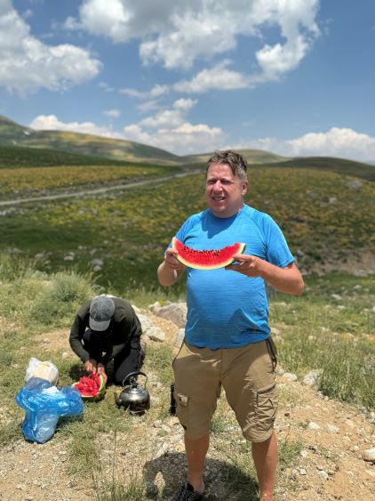
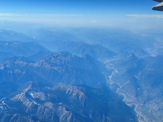
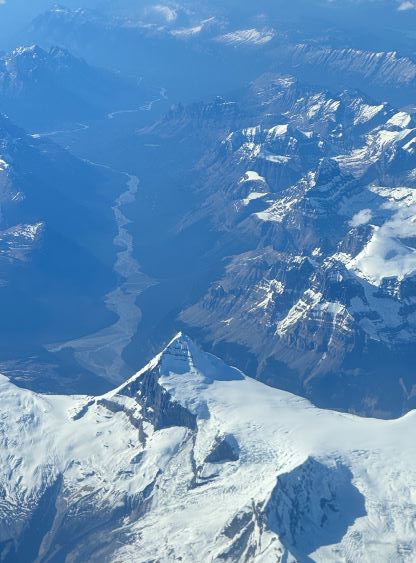
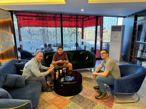
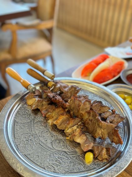
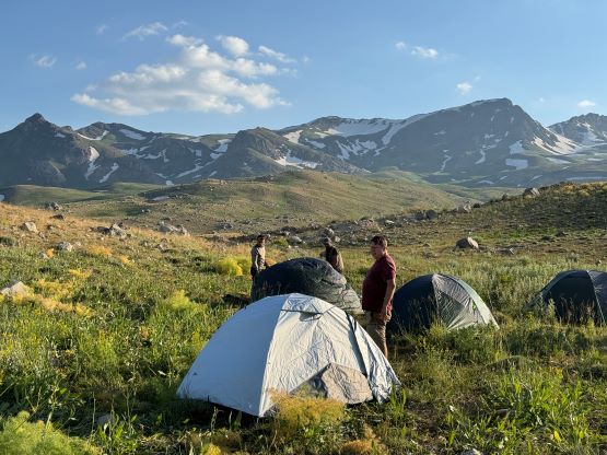
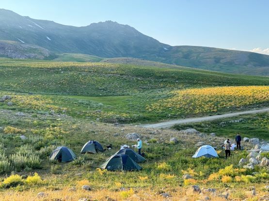
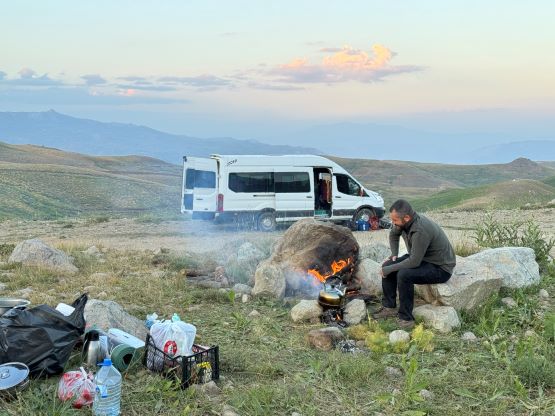
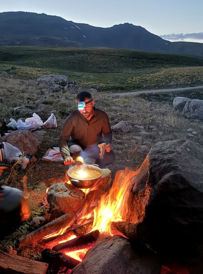
On July 7th I boarded the connecting flights from Vancouver to Istanbul through Frankfurt. I paid to get the window seats and won the gambling against the weather. The plane flew directly over the South Coast ranges and then went straight towards the Canadian Rockies and flew over the Columbia Icefield. I took something like 100 photos within the first hour of the flight (brought back lots and lots of fond memories), and then tried to catch up some sleep. I slept through most of the second flight from Frankfurt to Istanbul and Adam was already with me on that second flight. We met Dave and Deividas in our airport hotel, and then Rob the next morning in the airport. The domestic flight from Istanbul to Hakkari took 2.5 hours and our guide and driver was already there to pick us up. The rest of the day was spent shopping, eating and driving to the car-camping area under our objective. Unfortunately our guiding company did not assign the right vehicle for the job, and the van had some serious overheating problems. A few of us had to walk at least an extra kilometer and the van needed several breaks to cool off the engine. The air conditioning was also not working in the vehicle but we were in a remote area of a not-so-well-developed country so I couldn’t have asked for everything. The driver did successfully drop us off at the trail-head camping area so I wouldn’t complain too much about the inconvenience, after all. We had about an hour till sunset. The tents were quickly erected and I even caught some cell receptions to reconnect with friends. Deividas had sent me a link to set up the eSIM before evening leaving Canada and it worked instantly after landing in Turkey. I was honestly impressed. The dinner was served after the sundown and the alarms were set at 5:30 am on the following morning, and despite the jet lag I was able to sleep through most of the night.


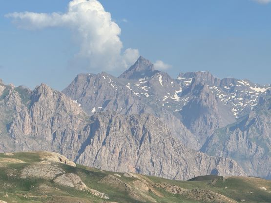

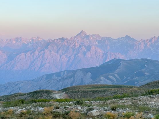

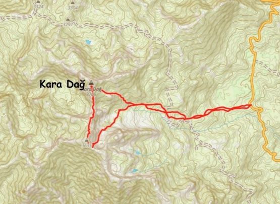
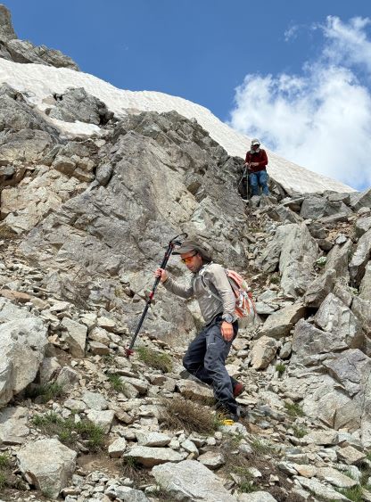
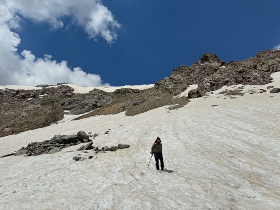
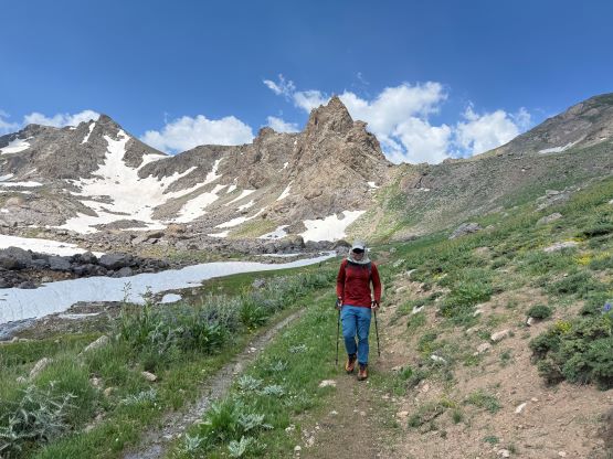
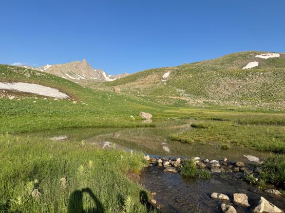
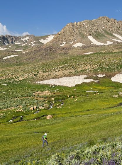
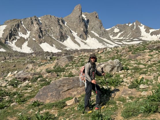
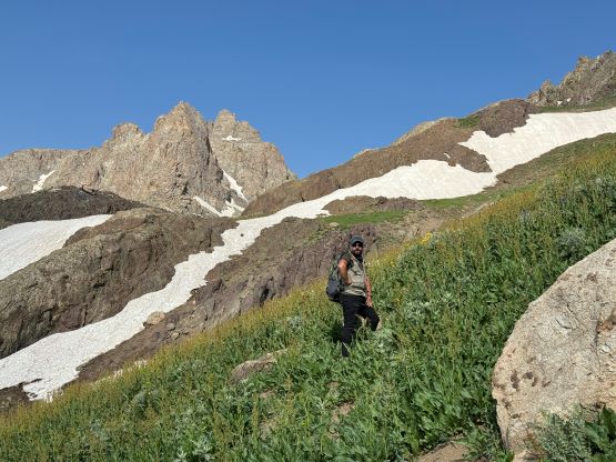
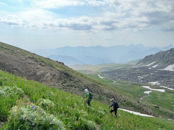
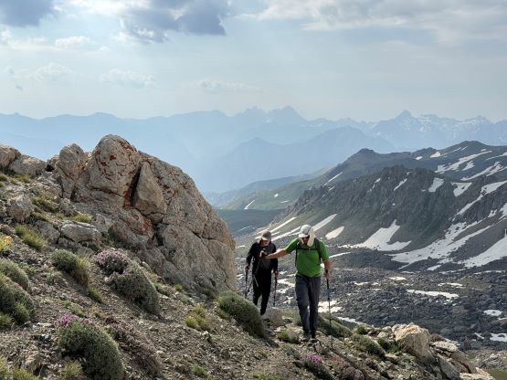
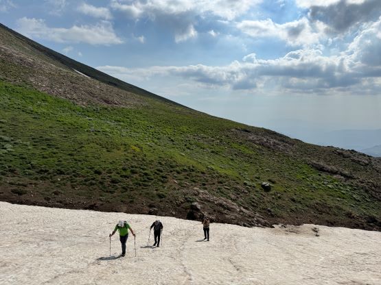
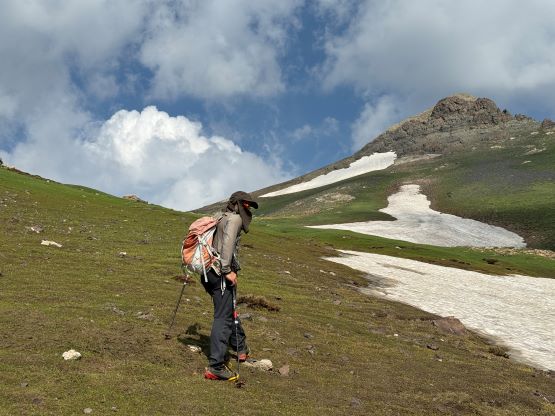
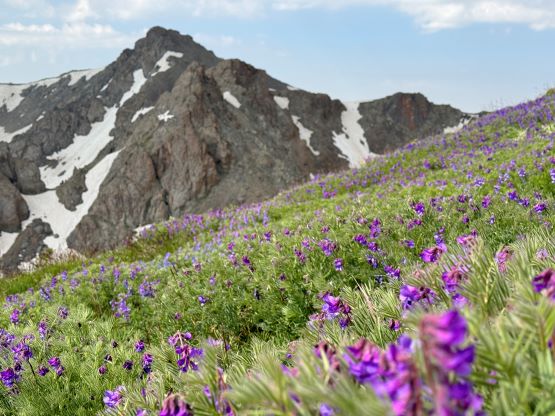
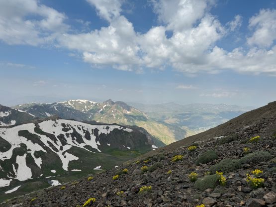
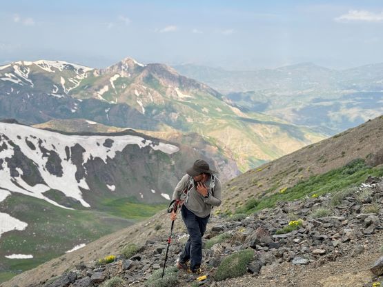
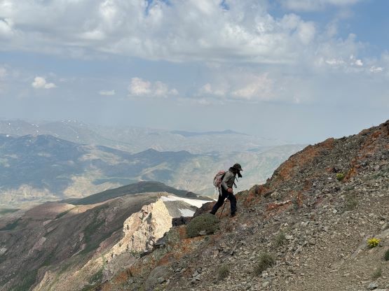
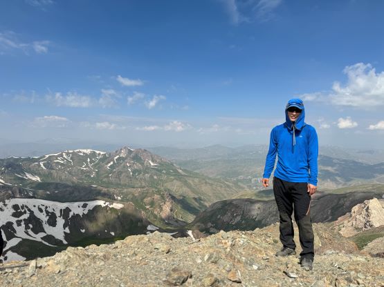
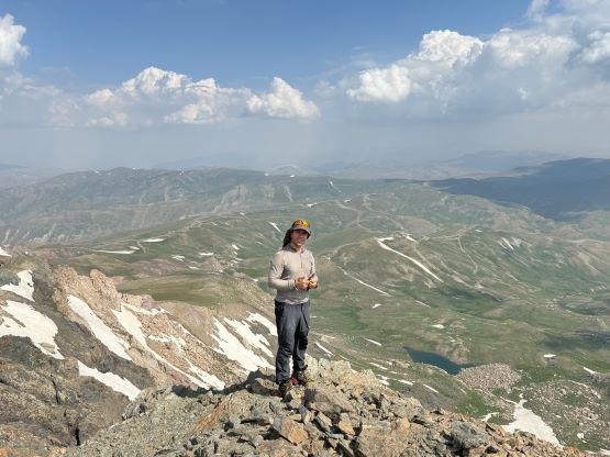
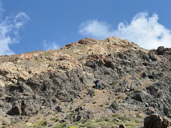
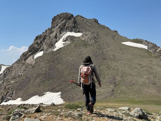
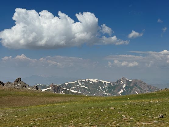
The plan was to start hiking at around 6 am but the 5:30 am wake-up call wouldn’t justify that. Instead, Adam and Deividas started earlier than the rest of the team. I would have loved to start earlier but I was also keen on the breakfast, which was not as great as I was hoping for, but would do. Speaking the food served by these guiding companies nowhere can beat Indonesia even though their other infrastructures aren’t as great. In any case Rob, Dave and I started with our head guide, Recep and the local “guide”. In the previous evening I had consulted with the satellite images and formulated some routes with the rest of the team, and Deividas and Adam were taking that option. The rest of the us ended up following the local “guide” taking a more direct but cross-country route, which worked out nicely as well. There were some boggy sections but our shoes stayed dry, and we avoided any concerning area with shepherd dogs. Rob said that the landscape reminded him Mongolia and I thought it seemed like the pictures I’ve seen for Colorado in summer. We also on purposely slowed down and took several breaks for better acclimatization. Our route eventually joined the highest spur road but not long after joining the road we left for the SE slopes, taking a mix of grassy slopes and snow patches of snow. The snow was soft enough to walk on, and the decision to leave any snow climbing equipment behind was correct. There was some minor scrambling on choss on the uppermost south ridge but nothing’s worth noting. Deividas and Adam had been patiently waiting on the summit as they started 45 minutes ahead.


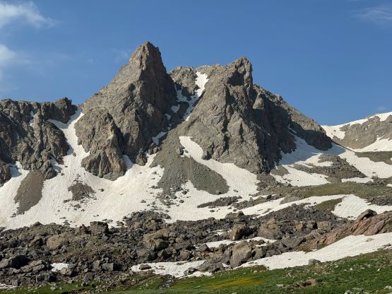


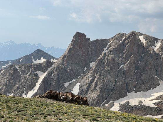
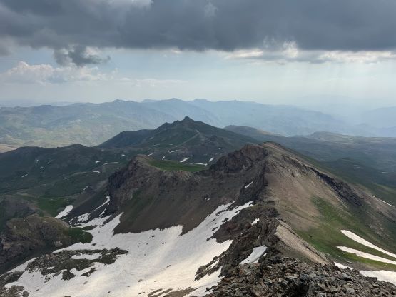
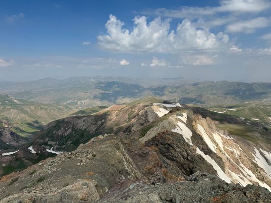

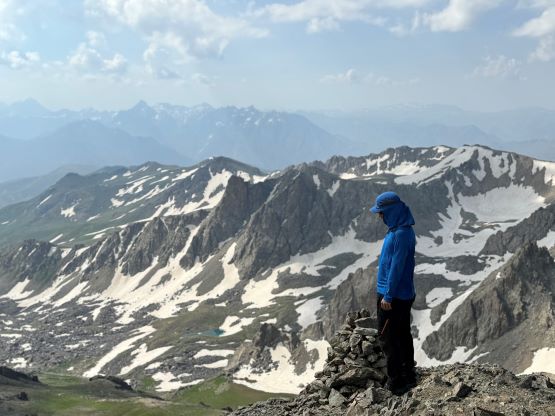

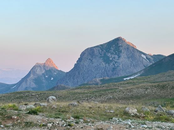
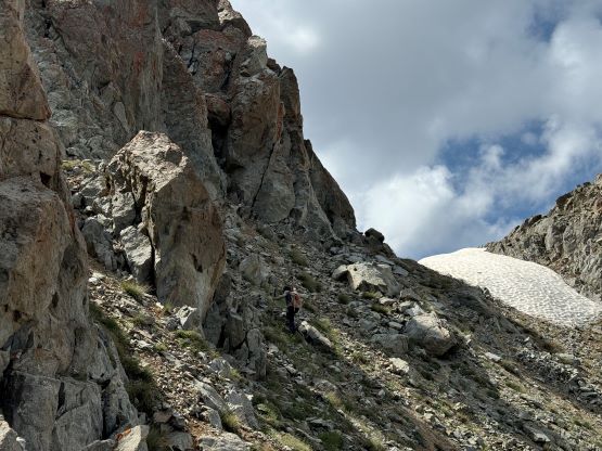
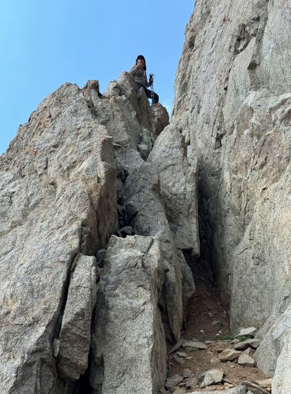
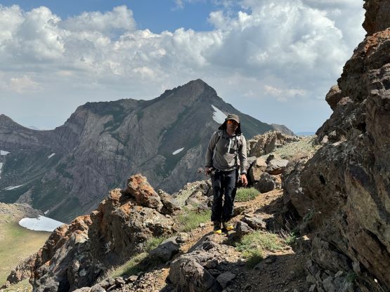
Adam and I made the in-situ decision to traverse to the south summit which boasts over 100 m prominence, as the hike itself seemed too short to fill in a day. Our guide Recep joined us and he was fast enough to be ahead of me for the entire way, showing the route even though he hadn’t done it neither. This guy’s solid and worked really hard so I would highly recommend his services. Recep and I jogged most of the way down to the saddle in about 10 minutes, but I had no way to keep up with him on the uphills, partly because this was just my first day at the altitude, whereas Recep had been guiding Mt. Ararat all the time. There’s some 3rd class scrambling to stay closer to the ridge but Adam found a gully bypass that avoided the trickiest scrambling. I wasn’t even sure if Adam would do that crux section, which forced me to store the poles and use both hands with concentration. I was relieved to see Adam showing up at the grassy plateau and it turned out that he found an easier way. The true summit of the south peak was farther back than we thought, and required traversing around a few more bumps, but we showed up there in a timely manner nevertheless.

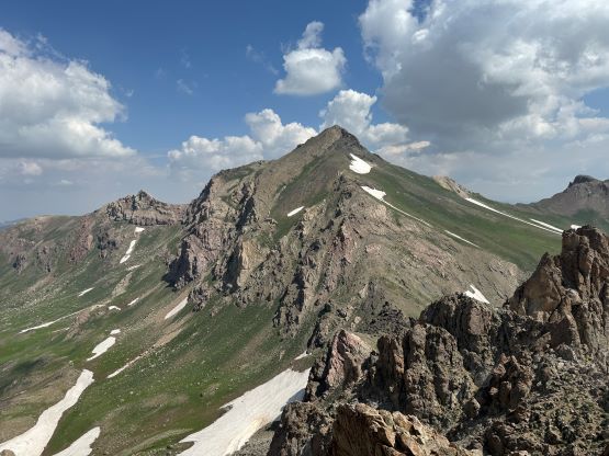


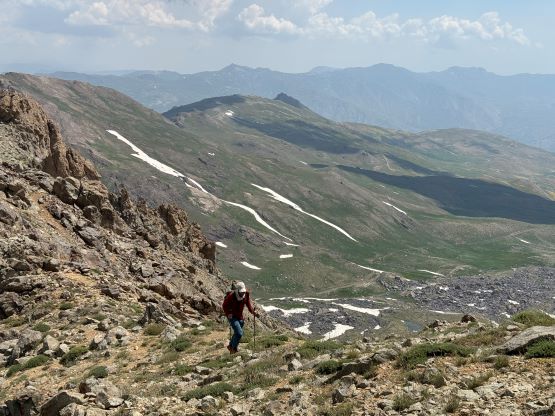
The crux of the trip was the descent off from the south summit. None of us had done much digging on the maps as the decision was made completely randomly, so we basically had to onsight the descent. We started by going down the SE Ridge but I was planning to drop into the east side bowl as soon as possible. I initially tried to down-climb some steep snow in trail runners but quickly realized that would be a very stupid idea. Our next option also involved a short but steep snow step, but we made it work. We then had to carefully descend some compact moraine type of choss that reminded me the good ‘ol days in the Canadian Rockies, and wearing trail-runners surely put my balance in test. The valley held lots of low-angled snow, and that helped speeding up the process. We eventually joined our morning route and showed up at the vehicle in just over 5 hours round trip, only 10 minutes behind Rob, Dave and Deividas. Adam and I had been pushing the pace on the descent and we were happy about our time. The driver then successfully drove us out of the dirt roads, but we had about 4 hours of driving to the hotel in Yuksekova and the air conditioning wasn’t working. The ride was quite a torture for a few of us. I wasn’t feeling that horrible but that’s probably because I grew up in China and generally don’t get bothered that much by heat. And by the way this trip report was written in the hotel using Tor Network as Turkey has banned WordPress. This Tor Browser is free and similar to VPN but isn’t exactly the same. It seemed to be working but there’s lots of added hassles and takes at least 50% more time to generate the trip report. Not sure if I’ll have that much extra time on the next week or so to keep up with the work, but we shall see.