Mor Dağı
July 11, 2024
3800m
Yüksekova, Turkey
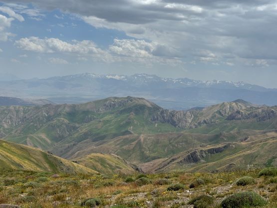
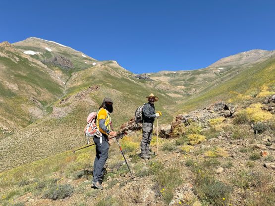
Mor Dağı is one of the three “ultra prominent peaks” in the far south-east corner of Turkey. The summit is only 11 km from Iranian border and not too far from Iraq neither. The government had opened this area for trekking and climbing only in the last couple years so very few foreigners had explored these peaks, if there’s any. Deividas did all of the planning and coordination with the guiding company. This is such a remote area that even our head guide, Recep hadn’t done Mor Dağı himself but through him we were able to hire a local guide who’s also a shepherd living at the bottom of the peak. The communication wasn’t building much confidence at the beginning but this guy turned out to know absolutely everything about this mountain, hence definitely legit. Earlier in the trip we hiked Kara Dağ and that was an excellent introductory to the area’s landscape and culture.
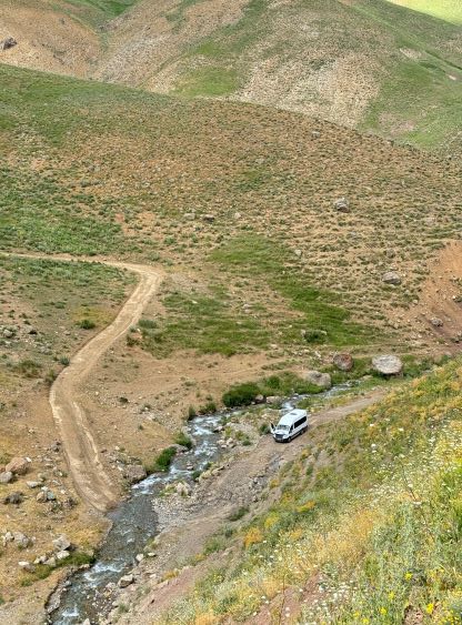
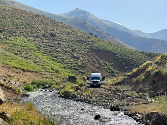
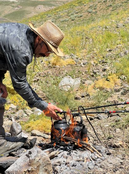
The only possible attack without hiking 20+ km distance was from the south, and we relied on our driver to transport us to the end of the dirt road that originates a few kilometers past the village of Kısıklı. This vehicle had some massive problems on the previous objective so even though the driver promised to have fixed the issues we had lost confidence on it, but at such last minute we really didn’t have many other options. The satellite images of this road conflicted themselves and I do believe that it has been actively maintained. The conditions of this road must have changed from year to year and sometimes they would just build a new stretch on the other side of the creek. In short, there were a ton of unknowns and I had already counted on the worst case scenario that we might have to walk the entire distance (which would be okay for me), but we did end up driving to the end of the valley. The driver did his job pushing the vehicle as hard as he could. There were two creek crossings and some rougher sections that definitely put the van in test. The switchbacks to the decommissioned mine site were not doable even in a 4×4, high clearance vehicle but that was okay. We were picked up from our hotel in Yüksekova at 6:30 am and were parked at the driveable end about an hour and half later. We spent the next hour chilling, preparing and having breakfast and I wanted to load up as much calories as possible before starting a hike. The served meal was basically the same as the day before, but had some added local vege/cheese.

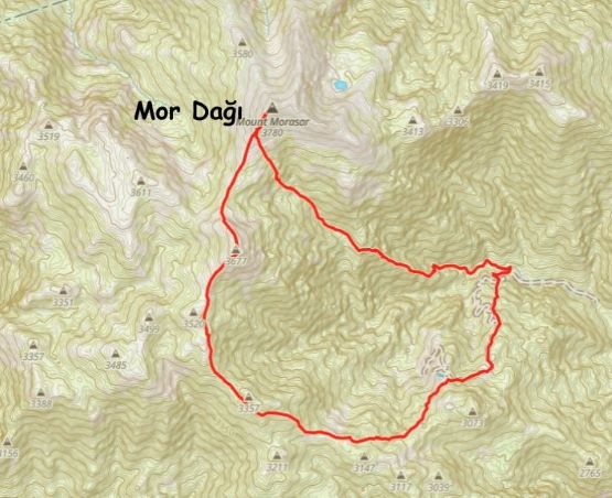
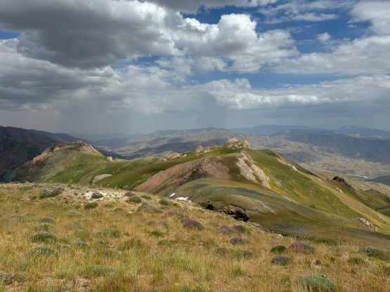
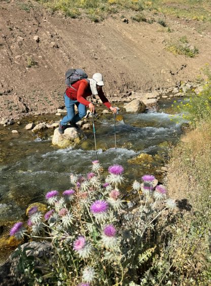
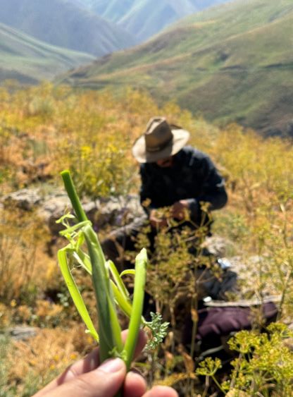
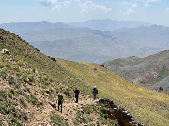
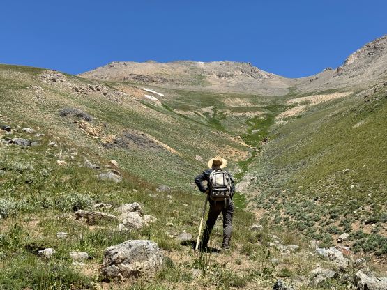
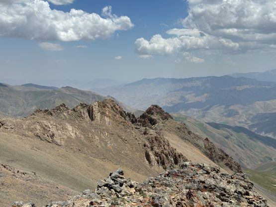
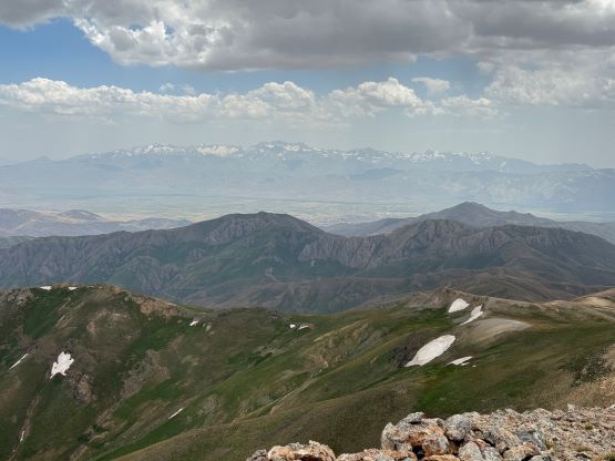
There was absolutely no “beta” about this peak beside the Gaia topo map and the satellite images and I would assume we’d ascend straight up the mostly-open SE slopes from where we parked, but the local guide led us into the valley following some trails. The creek crossing at the start turned out to be a bit tricky. A few of us jumped across but Dave ended up fording bare feet. The shepherd trail extends quite far into the valley and then into a side drainage, but it was becoming brushy. At one point we followed the local guide ascending onto one of the SE facing ridge/ribs and took the first break upon reaching the crest. Adam as usual, went ahead and eventually summitted an hour before the rest of us. I ended up doing the exact same as the day before, sticking with the majority of the team on the way up, but grabbing a bonus peak and descending a different route with Adam a few hours later. There were some game trails on the rib but the terrain was mostly open anyway, without much brush.


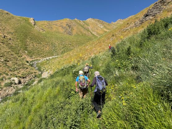


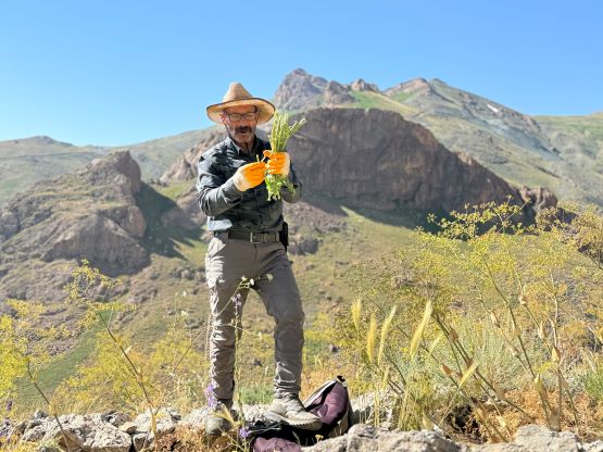


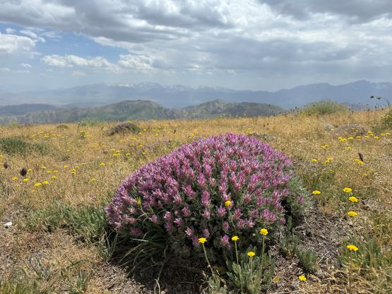
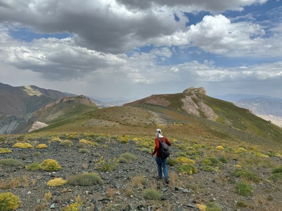
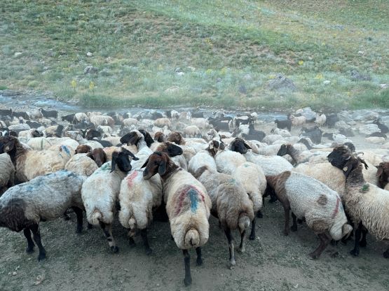
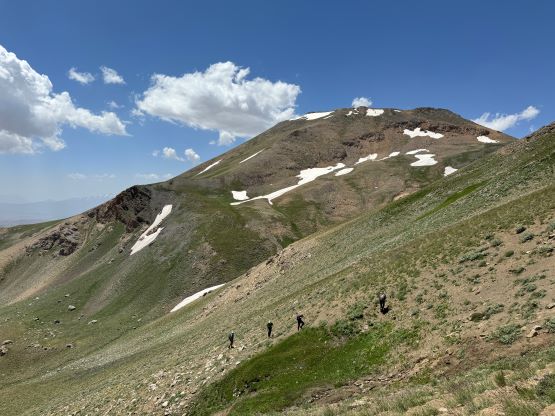
After what seemed like a long while we merged into an open valley at just below 3100 m elevation, and this valley was home to some shepherd camps with hundreds of sheep. There were some big dogs around so sticking together made the most sense, but our guide was able to communicate with the other shepherds to make sure Adam would be safe. Upon reaching a camp our local guide made tea for us and we stopped there for at least 40 minutes. It was a cool experience learning the culture and life in this valley. We took a couple more breaks higher up but at roughly 400 m vertically below the summit I decided to go ahead. I aimed at the SW Ridge and encountered some chossy terrain. There wasn’t much scrambling involved but the scree was a bit annoying. Everyone else ended up following the same route.


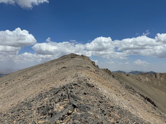


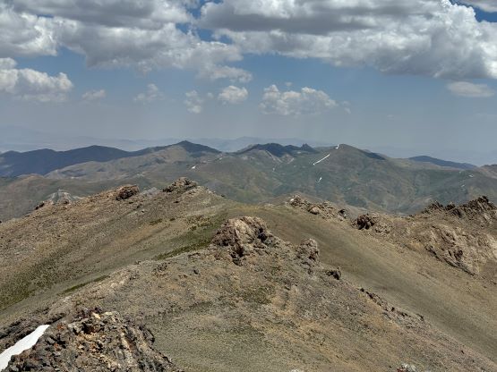


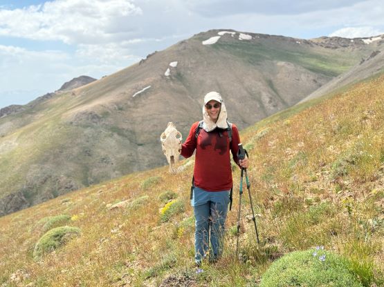
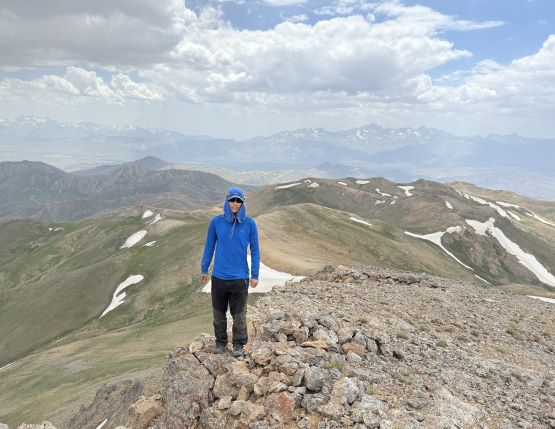
Our guide Recep showed up on the summit about 5 minutes behind me and told Adam and I that if we wanted that bonus peak we should get going soon. We did so, and crossed path with the rest of the team on the upper SW Ridge. I led us jogging down the chossy terrain followed by some long stretches of flats to the saddle between the main peak and the south summit. That south (bonus) peak boasts about 150 m prominence and our local guide also passed on its original (local) name, Dola Koxe. The ascent went without event and Adam and I took a long break on the summit. There was cell reception on both summits so we were able to communicate. The others decided to not go down to the saddle so we replied that we would also descend a different route. Adam suggested to make a gigantic loop to those mining roads. This would double the distance but the terrain appeared mostly friendly so I agreed.


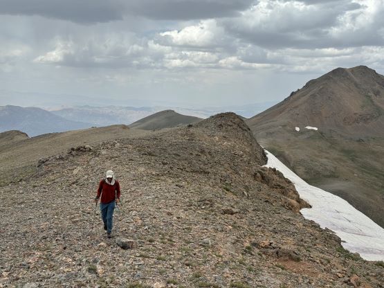

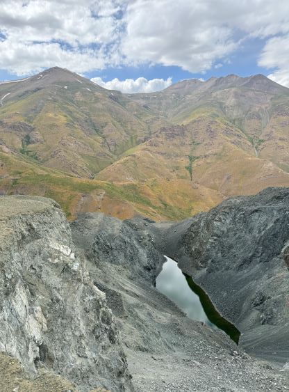
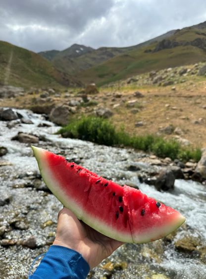
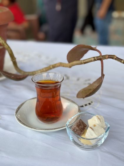
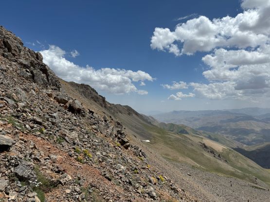
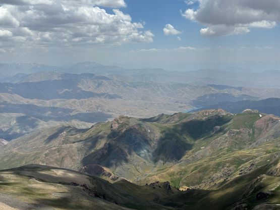
This alternative descent turned out to be quite eventful and we definitely made the correct decision from experience perspective. Minutes after dropping down the other side of Dola Koxe (SW Ridge) we saw two wolves running about a hundred meters ahead. Adam assured that we’d be okay, so we resumed. There were at least 5 or 6 bumps along the way but none boasts over 100 m prominence so I decided to bypass as many of those as possible to shorten the distance. The upper half of the route was mostly as expected, easy and undulated open terrain but the lower we went the more brushy it became. We also had to deal with several boggy sections in addition to lots of thorny plants. I would not classify any of the stretches “bushwhacking” but the brushes were certainly annoying. We also had to constantly make route-finding decisions as there were quite abundant micro-terrain. The worst was the 1-2 km above the upper end of the mining road, but the road itself was also harder than we thought. The lower switchbacks were chocked with thorns and we were forced to bail the road and go straight down the slopes. Thankfully the bushwhacking wasn’t too bad. We eventually showed up at the car 7 hours 20 minutes after departing in the morning, and the rest of the team showed up 25 minutes later after taking some not-so-short “short-cuts”. We were served with watermelon and tea just like the day before, and then were transported back to the city of Yuksekova.