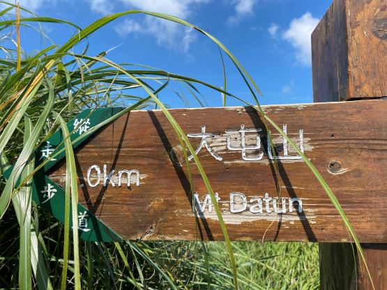
Datunshan / 大屯山
September 12, 2023
1094m
Taipei, Taiwan
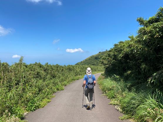
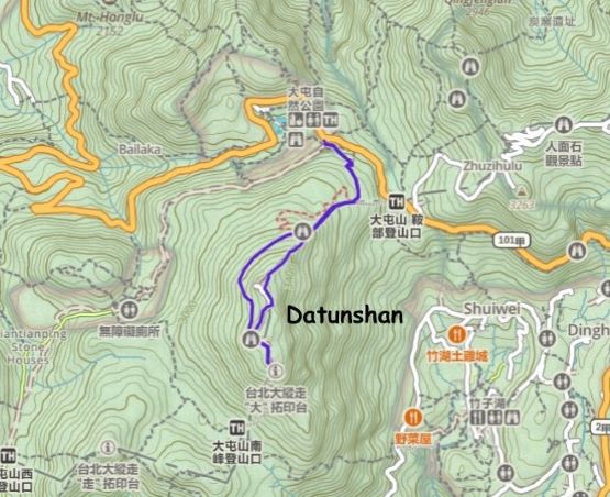
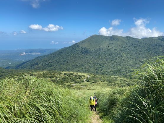
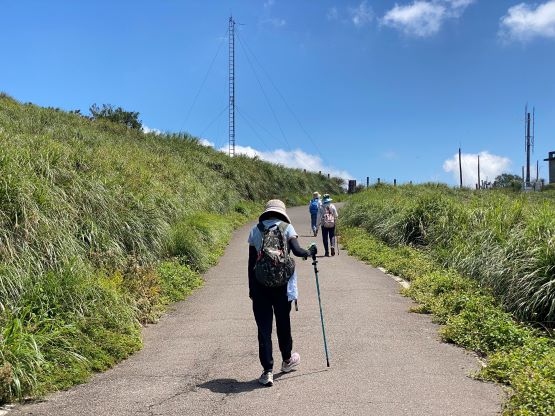
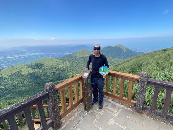
Datunshan, or 大屯山 is one of the higher summits within the Datun Volcanic Group, the only active volcano in Taiwan. The highest peak in the area is 七星山, which Adam and I ascended earlier in the morning. The ascent of that peak was too short to fill in the day even though the main purpose of this day was to “rest”. We noticed a bunch of easy peaks in the immediate vicinity and we picked 大屯山 mostly because it was very visible from the other summit. In the past one could drive all the way up the access road to near the summit, but the road is currently closed to vehicular traffic. Alternatively there’s a trail on the broad NE Ridge and our plan was to take this trail. Our driver would be waiting for us near, but not at the trail-head. The parking was limited, so I had to text him after finishing the hike.
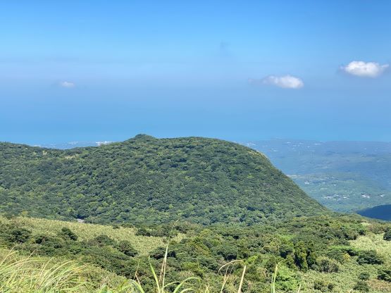
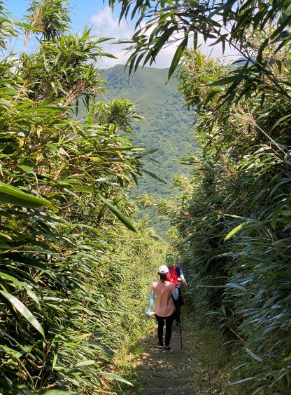
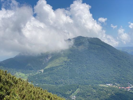
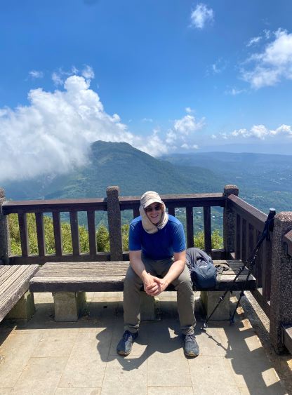
The only crux of this ascent was the heat, as it’s in the lower elevation zone and the temperature was approaching 30 degrees with humidity. In any case we plodded up the access road until it was convenient to hop onto the trail. The trail was steep and boring with lots of staircases, and there were a lot of people. I was impressed by the hiking culture in Taiwan as it’s guaranteed that you wouldn’t be alone. The true summit of this peak is a bit of a pain in the ass as the entire summit area is a flat plateau. It’s actually impossible to determine where exactly the highest point is, but I think it’s either on the trail or slightly off the trail in the jungle. The trail continues southwards to a few viewpoints but I’m quite sure that those aren’t the high point contenders. In fact, the northern part of the summit plateau near the fenced military area is higher, but the highest point is most likely to be inside the jungle and not in the military area. The trail traverses through that piece of the jungle so we didn’t bother to bushwhack, nor would the bushwhacking be possible. The jungle looked to be extremely thick and impossible to penetrate. We met some local ladies on the southern viewpoints and they invited us to make a loop by descending the south side. Even though I liked to socialize we refused the offer, as we had to get back to the hotel as soon as possible to rest.


I noticed on the maps that the access road (presumedly into the military base) goes halfway down the mountain and then there’s a short-cut path to link to the NE Ridge trail, so we decided to take the road down for variety. The descent was rather uneventful and the round trip time was 1.5 hours. The driver had already texted me as he wasn’t expecting this peak to take us that long, but I explained the difficulty to determine the location of the summit so we must traverse all the way southwards to be sure. I do not like this type of flat-topped peak where the entire plateau isn’t even visible. Our driver was kind enough to show us some of the local food that’s cheap but good, and we spent the rest of the evening exploring the neighbourhood in Banqiao in New Taipei City.