Mount Kabuye
January 14, 2024
2654m
Musanze, Rwanda
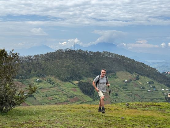
Mt. Kabuye is the 3rd highest peak in Rwanda besides the volcanoes that border Congo and/or Uganda in the far north. This peak is rather just a “hill” but boasts over 700 m prominence. I noticed it purely because of the prominence but it was purely a “plan B” kind of objective. The original plan for the six of us here was Mt. Sabinyo which boasts over 1000 m prominence but we learnt at the last minute that the true summit could not be reached from the Rwandan side. It was unclear if we could do it from the Ugandan side but even if the answer was positive we would still have to deal with a significant amount of logistical complications and the jack up of the prices. We later realized that the true summit could indeed be reached from Uganda so that gives me a tiny bit of reason to come back to this area. The company (Amahoro) refused to give us a refund for Mt. Sabinyo as it wasn’t entirely their fault. I completely understand that we were the weird ones here and whether attaining the true summit or not is not really that much of a deal for 99.99% of the people, and we could have done more research to inquire them this issue before making the payments. I wasn’t too upset about the loss of ~400 dollars and I didn’t even try to argue by much. The hike of Mt. Kabuye still legally required a guide and the additional cost was thankfully only 45 dollars per person.
It took us a while to finalize a decision as Mt. Kabuye wasn’t overly that attractive. A few of us would rather transfer Mt. Sabinyo’s money to another volcano in the National Park at no additional cost, albeit without 600 m prominence, whereas the transportation was slightly more complicated for Mt. Kabuye. Deividas insisted on either doing a P600m objective or not doing anything at all. The rest of us were on the fence but eventually we came to a conclusion that it’s easier if all 6 of us agreed to stick together for either of the objectives. Splitting the group up would likely involve more additional costs and frustration, so the final decision was made. Our driver Edmund even offered to drop everyone back to the hotel in Ruhengeri after Mt. Kabuye so we didn’t need to pack up the luggage in the morning. Rob and I would have to go to Kigali afterwards and Mt. Kabuye was on the way, so originally we thought we wouldn’t be coming back to Ruhengeri at all.
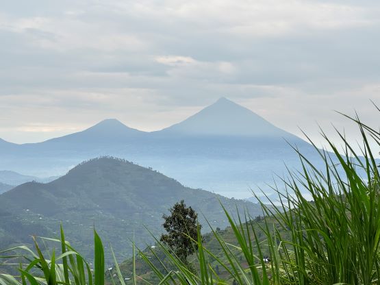
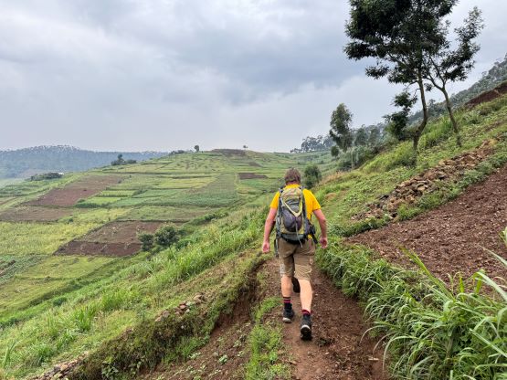
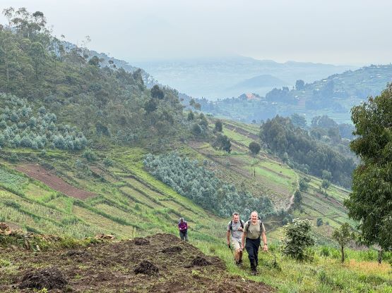
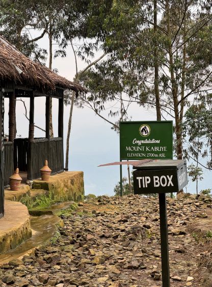
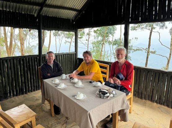
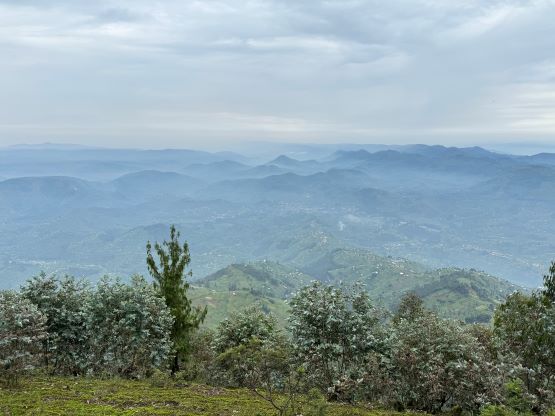
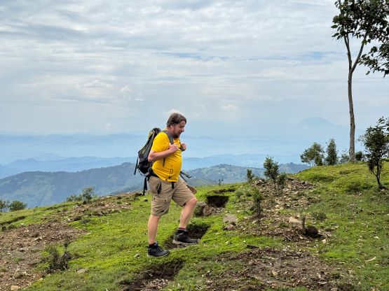
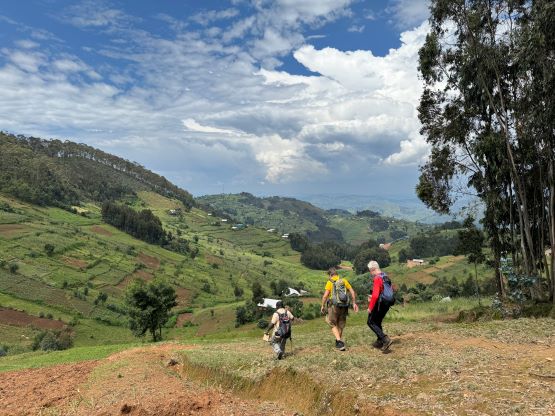
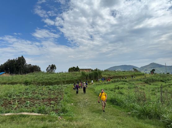
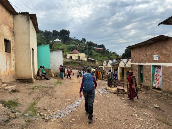
This time we remembered to ask the hotel to prepare for our lunch boxes but in retrospect they weren’t needed as the lunch would be served on the summit of Mt. Kabuye. There’s a restaurant up there. The food turned out to be excellent but the serving took almost 2 hours, which was not a surprise at all after spending almost 3 weeks in Africa. We firstly drove to the village of Nemba on the SW side of the peak to collect our guide. It was pissing and the plan was to do the full ascent from the village similar to Petter’s trip a few years ago, but Deividas insisted on driving higher to the NW side of the peak. There weren’t a lot of “beta” about the roads on that side of the peak, but our guide nevertheless convinced Edmund to at least give it a try. None of us was particularly stoked about doing 900 m gain in the rain anyway. The roads turned out to be rather excellent and we managed to drive to a much higher starting point with less than 200 m net elevation gain left. The roads were currently under construction to extend further so in another year or two this should take no more than half an hour’s round trip. The rain had miraculously stopped and we even got some views of the volcanoes along the drive-in.


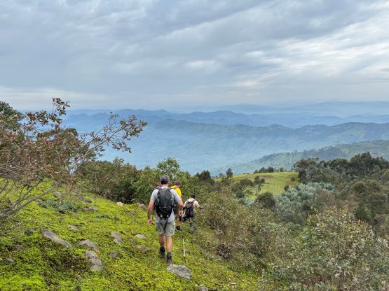
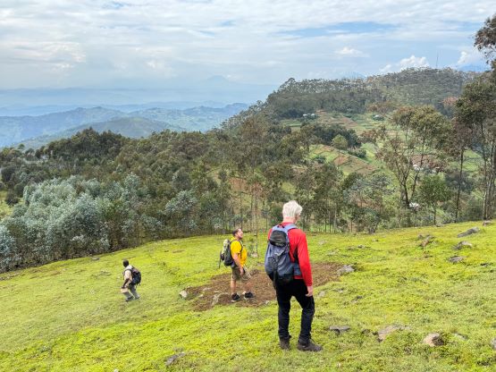
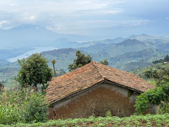
We traversed some countryside paths to gradually gain elevation to the col between the main peak and the sub-peak to the north, and this section of the trail wasn’t shown on my Gaia map. From the col we joined the main Mt. Kabuye trail and easily attained the summit from there. We passed a dirty pond and our guide gave us a 20-minute history lesson there. I could not remember a thing at all asides knowing some locals come here to bring water down to the villages. The true summit was slightly beyond the restaurant and was forested with no view, and we spent the next 2 hours waiting for our food to be served. We had met a girl from Swiss earlier in the day and she insisted to do the full hike from the bottom. This girl eventually showed up and we had lunch together.


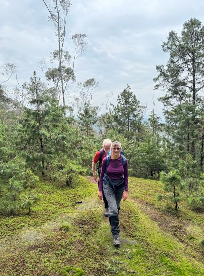


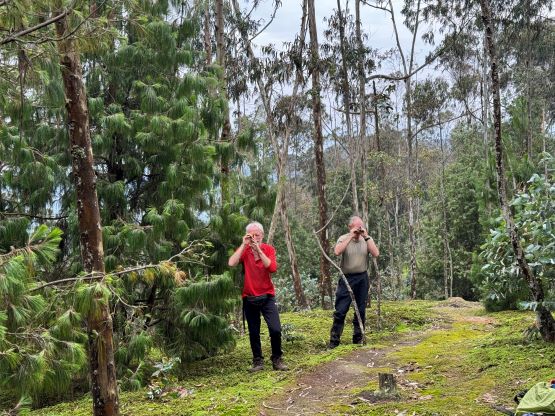


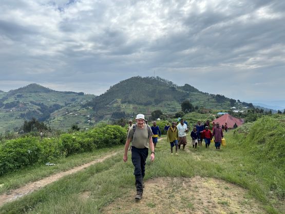
On the descent we took a slight different variation and then a few of us decided spontaneously to check out the P60m bump to the north. I was the sole North American here and I slowly came to a realization that the British generally draw their line at 30 m prominence, whereas this line is 100 m for Canadians. I did not regret though as the views were rather excellent. Rob, Deividas, myself and the Mclellans subsequently bagged two more P80m hills to conclude the day. A “tump” is defined in UK as any bump with over 30 m prominence so we bagged 4 tumps on this outing. Our driver and our guide was not particularly happy about our decisions because they wanted to get Rob and I to Kigali before dark. We did manage to achieve that, though barely.


I had the majority of a day to kill in the city of Kigali but I had already done the bonus peak in the area – Mt. Kigali, on the first day of arrival. I was not particularly interested in doing anything else, so spent the rest of the night in the hotel. The hotel was within walking range from the airport but they wanted to charge me 10 extra dollars for the drop-off. They explained that there’s an expensive parking fee but I refused to pay 10 dollars when I could get there in a few minutes of walking. I did have a few heavy bags but I could haul them for a few minutes. I then waited in the airport for 9 more hours before boarding the three connecting flights homewards, firstly to Belgium then to Montreal. I eventually got back to Vancouver in the evening of the 16th, had a late dinner in Richmond and went straight to work at 9 pm.

