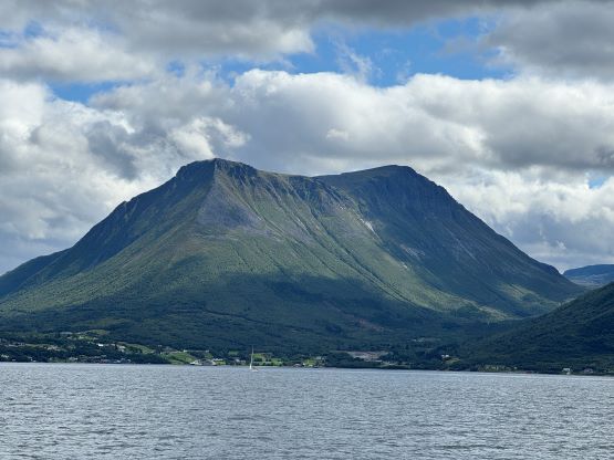
Skårasalen
July 28, 2024
1542m
Volda, Norway
Skårasalen is the highest peak on the entire peninsula where Volda and Orsta are located, and therefore boasts over 1200 m prominence making it one of the more prominent peaks in the southern Norway. This is also one of the easiest in this category, and the views can be substantial on a clear day. Combining all of these factors there is no wonder why Skårasalen is fairly popular, that one can expect to see other hikers on any given day. This is contrary to the other hikes that Erica and I had been doing recently. The forecast for the 28th was mediocre but all models eventually converged, that the morning hours between 8 and 9 am had the highest chance of seeing some blue skies. The weather for the following day was much nicer but we had decided to save that day for the bigger prize, namely Store Trolla, so the morning of the 28th was our only shot on Skårasalen.
We had paid for a nice homestay in the previous evening so it was not very efficient to wake up at 4 am again from the cost perspective, but the views were more important. Waking up turned out to be the crux because we were both very exhausted. I had to force us to get up and get going, and it was unfortunately raining during the half an hour’s drive to the trail-head. The final few kilometers of the access road was gravel but had tolls, which I could not understand but Petter explained to me later. Thankfully the drizzling stopped the moment we parked at the trail-head so I dragged my tired self out of the comfort of the vehicle and cooked breakfast for us. As usual our breakfast was instant ramen mixed with tomato, red pepper and canned fish.
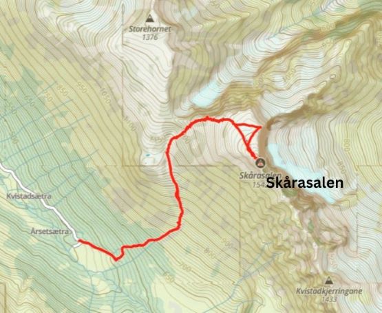
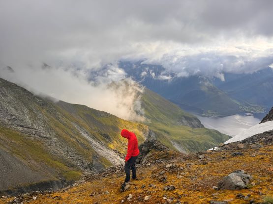
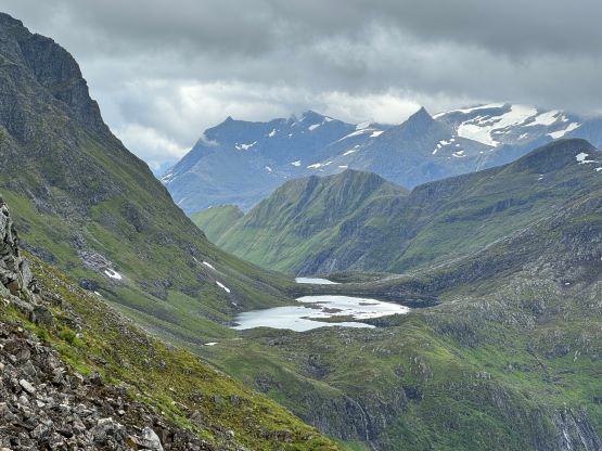
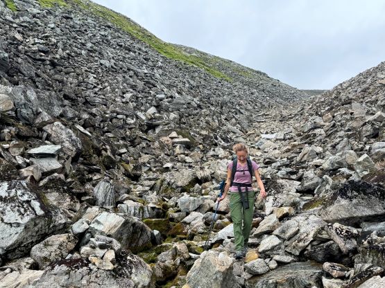
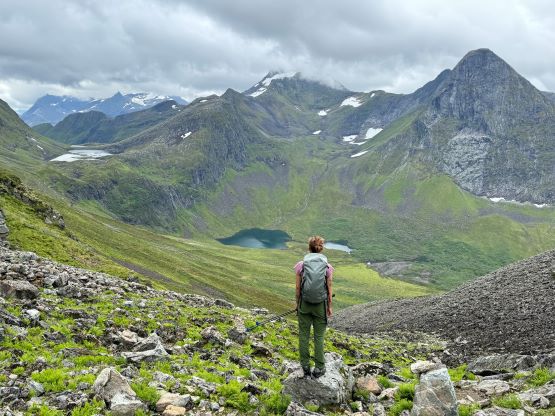
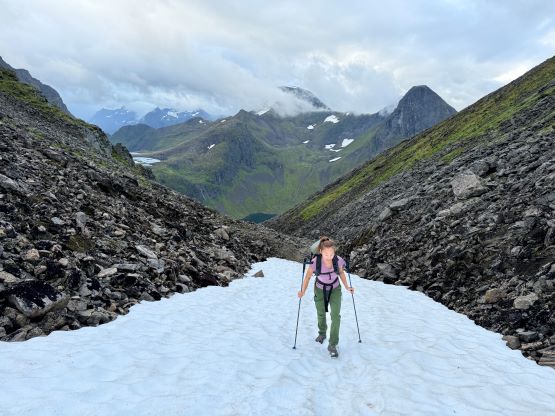
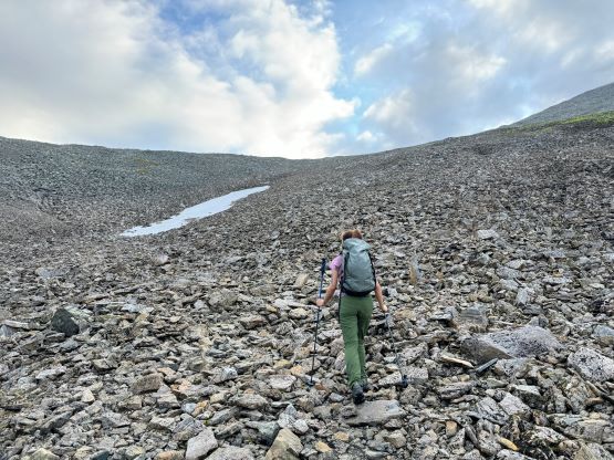
The first kilometer of this hike was on a steeper gravel road which was totally suitable for driving, but there was that “no driving” sign. Unlike two days prior on Tverrfjellet I opted to abide the rule today so we walked. The actual trail leaving this not-for-driving road was quite steep but it didn’t take us too long to break through the treeline. All of the vegetation was completely saturated from the recent precipitation but this trail was wide enough that we didn’t have to touch the branches, so my shoes stayed reasonably dry. The route then merged into a shallow gully which would bring us all the way to near Skårasalen/Storhornet col. Apparently this is a bad area for avalanche in the winter but we only encountered one thin strip of snow higher up. We didn’t go to the very col but followed the trail ascending the SW slopes of Skårasalen. The weather was not too bad at the moment, so we sped up to the first viewpoint on the W. Ridge of Skårasalen where we could get a glimpse of view towards the inlet to the north.


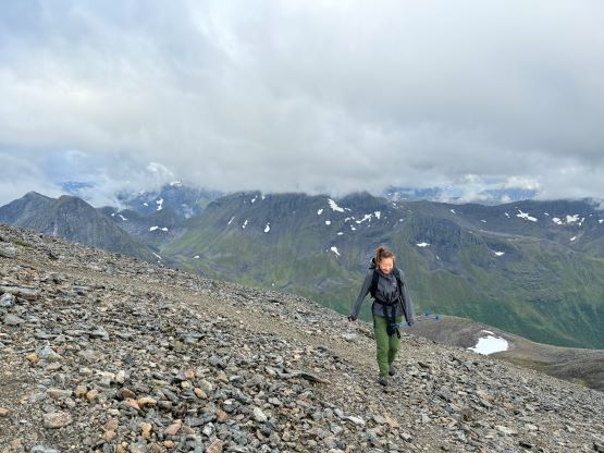


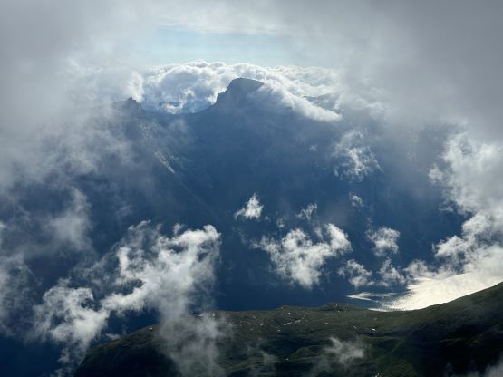
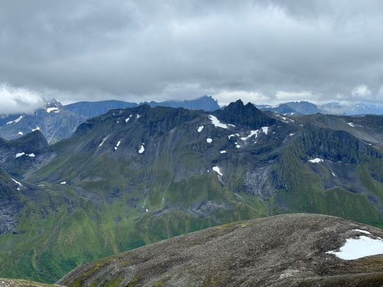
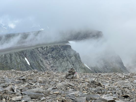
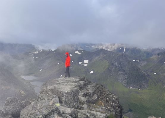
The summit was still a ways away and the rest of the ascent was rather boring. All we needed was to plod across the upper plateau and we unfortunately entered the “ping pong ball” here. I thought we would for sure get no view from the top but some sort of magic happened. It was actually not 100% foggy towards the other (south) side and the clouds had created some dramatic scenery along the jagged ridgeline. Apparently that ridge is a technical climb. We lingered on the summit for at least half an hour despite the cold wind, and the weather kept improving, showing signs of blue skies. We had actually started the descent for a minute but decided to rush back up to the summit and we did get some additional views. Our entire stay on the summit was definitely over an hour.

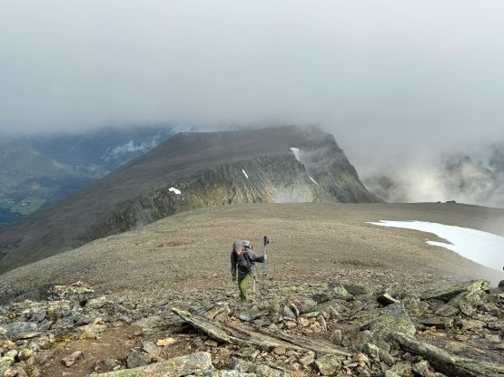


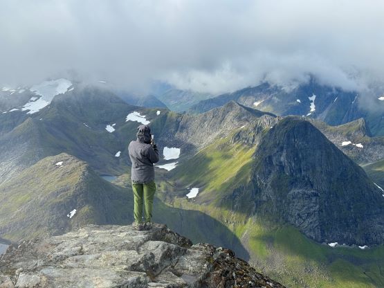


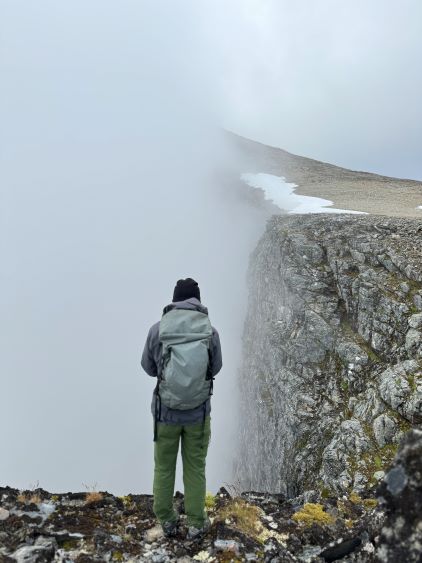
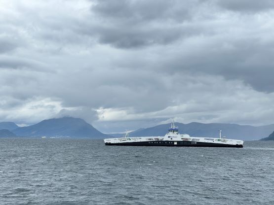
But it was eventually the time to start descending as we had a long day ahead, especially considering the driving duties. I thought about to grab that bonus P100m peak but decided against it, and instead we went for a short detour to check out another viewpoint on Skårasalen. We could see the entire east face dropping into the inlet but unfortunately we never got that perfect fjord shot from this objective, but that’s okay. The rest of the descent was uneventful and we finished the round trip in just over 4.5 hours. Erica drove us to the first ferry crossing while I took a much needed nap, then I took over the rest of the drive to Sunndalsøra near Trolla’s trail-head, which another napping break.