Must / Kharkhiraa Range High Point
August 5, 2024
4060m
Ulaangom, Mongolia
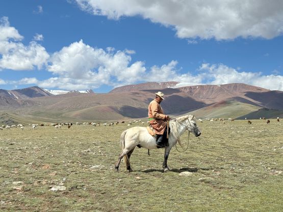
The name of this “ultra” (peak with 1500+ m prominence) is confusing. The peakbagger.com name is “Harhiraa” but “h” is also spelled “kh” in Mongolia and it’s more written “Kharkhiraa” in the country. Furthermore this is the name for the entire mountain range and the name of the highest peak in this range is “Must”, according to our guiding company. This peak is hardly known internationally but is apparently climbed on a regular basis by the Mongolians. There are at least two ways to approach. Gangaa, the head guide of our company must had taken a different way because according to her, we would need 2 days to climb this mountain with a 10 km trek into the basecamp. Gangaa wasn’t with us on the first part of this expedition and the guides that accompanied us proposed to take a different approach that they had taken in the past, which essentially shortened this objective to a day-hike. Of course the communication was difficult resulting in lots of frustration on either side of this team, but the end result was successful and satisfying.
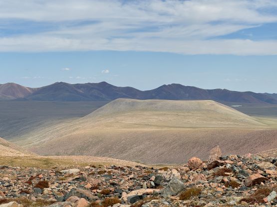
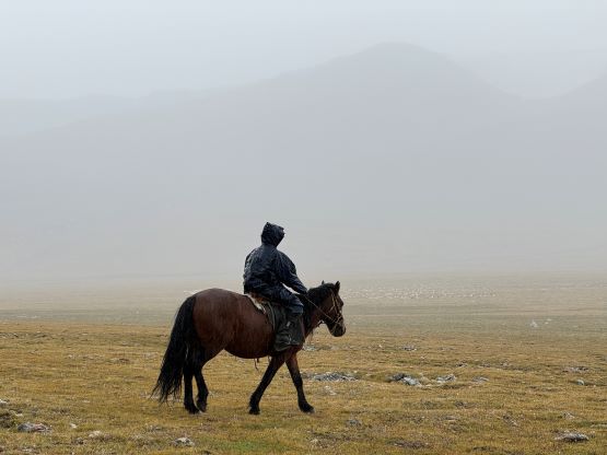
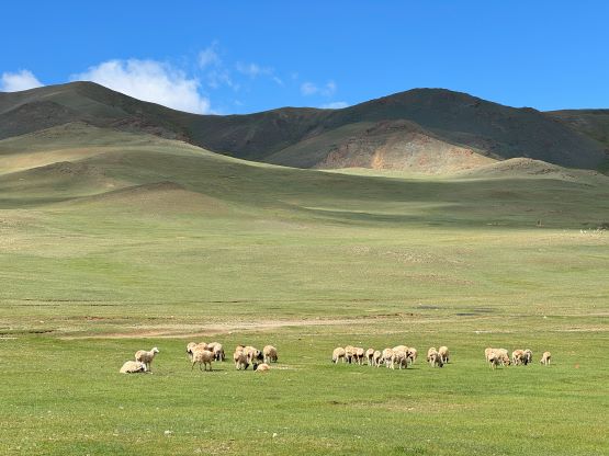
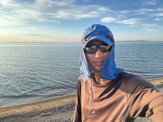
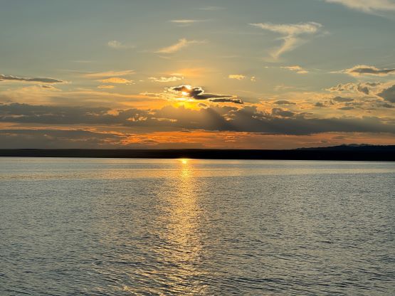
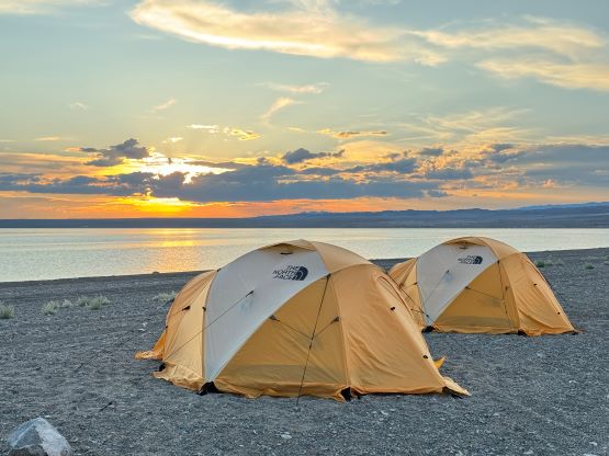
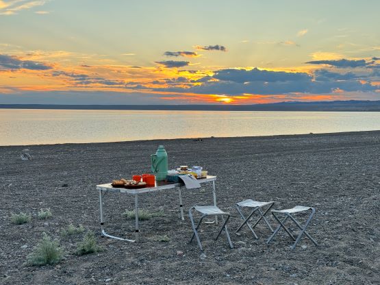
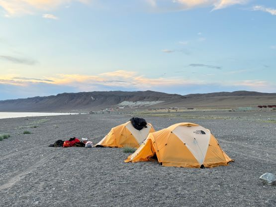
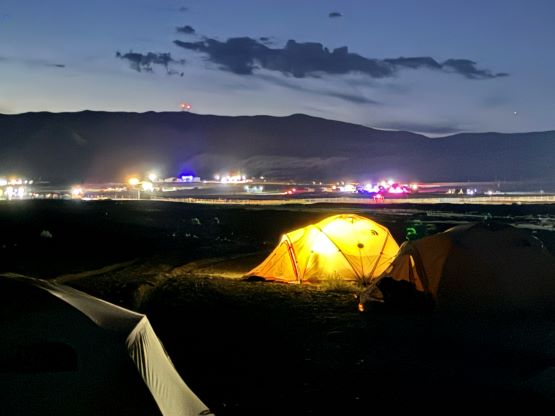
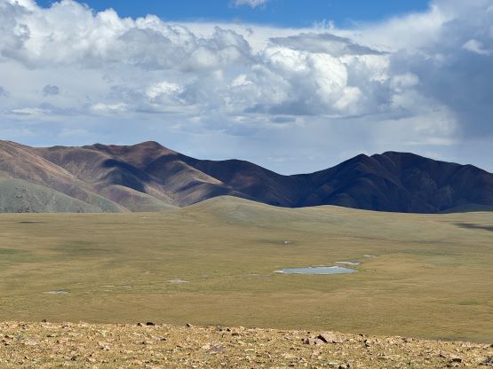
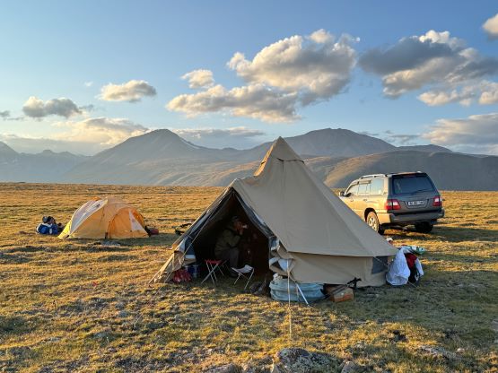
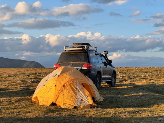
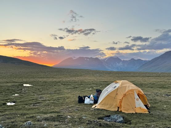
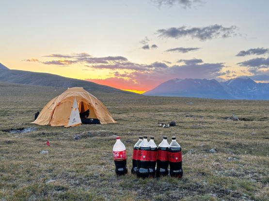
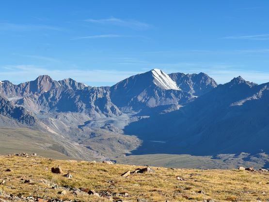
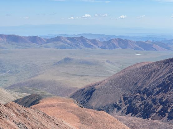
There are a lot of driving between successive climbs in Mongolia and 2 days are often needed. We spent a full day driving from the base camp on west side of our previous objective, namely Otgon Tenger to Khyargas Nuur (Lake) and camped on the shore. The scenery was excellent but there were unacceptable amount of bugs in that area, making the stay unpleasant. I nevertheless stayed up late outside the tent, dressed in bug-proof layers as I needed to catch up with the trip reports. The next day we drove towards Ulaangom but went south before reaching the city. We then spent at least 3 or 4 hours driving the increasingly rough access roads on the east side of Kharkhiraa Range. The satellite images weren’t helpful and we essentially had to rely on these people’s local knowledge. They had been there and climbed this peak, so we trusted their navigation. It’s useless to describe the access in words because the easiest way for that purpose in this modern era of technology is to track a GPX file, which I did on the return. The last few kilometers were essentially a cross-country travel in Landcruisers but we did manage to get to the high pass between our objective and a bonus P100m bump to the east. This was at almost 2900 m elevation. I decided to solo hike that bonus bump in the afternoon while the rest of the team rested at the base camp. The hike took me under 2 hours on a slow pace.
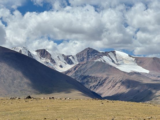
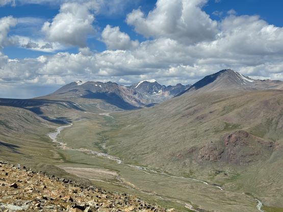
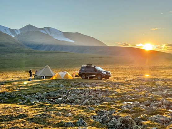
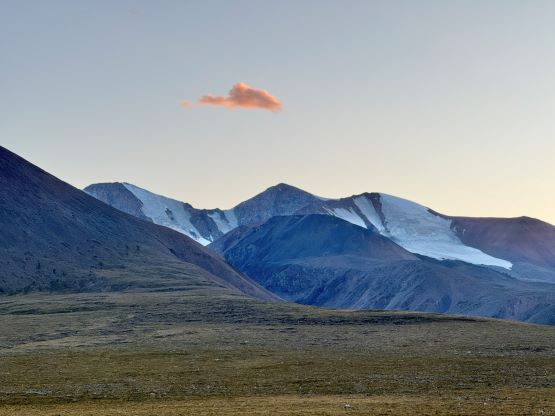
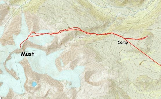
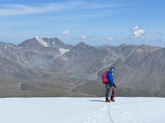
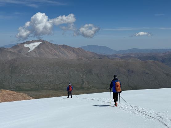
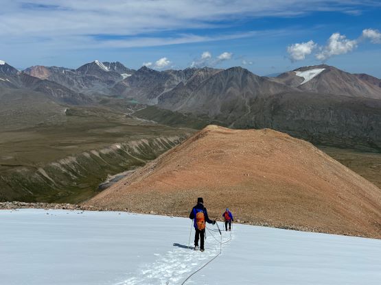
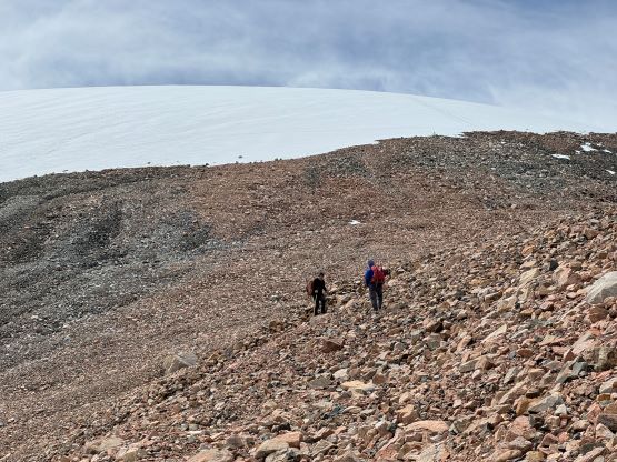
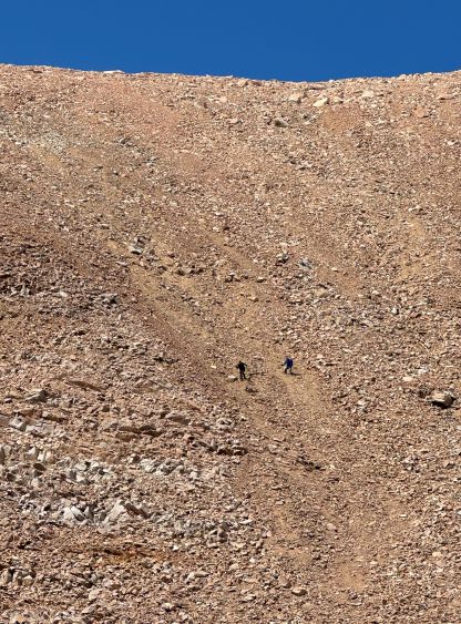
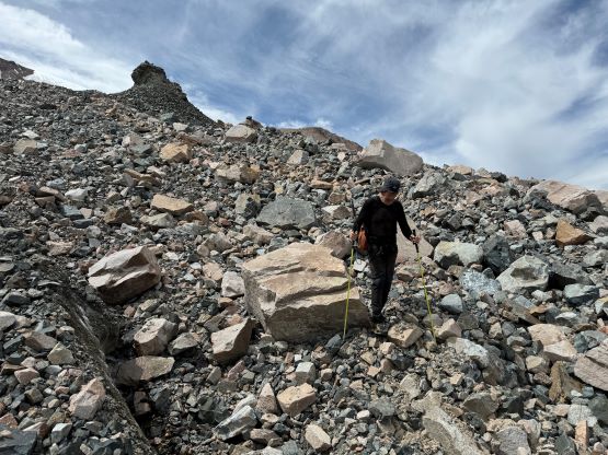
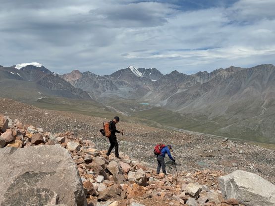
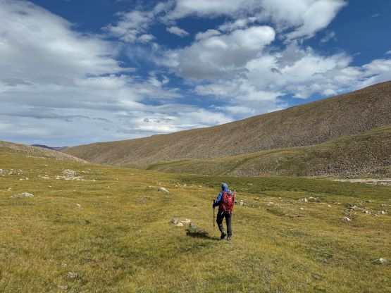
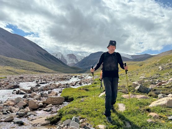
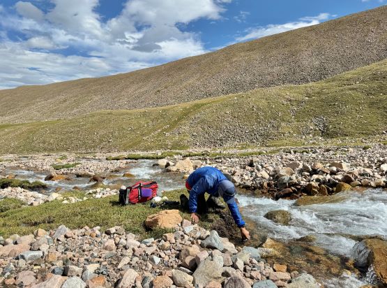
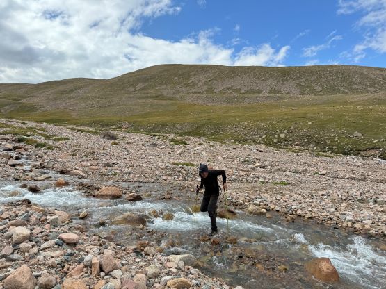
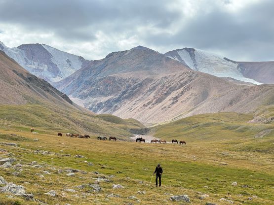
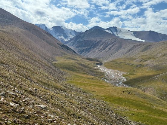
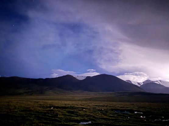
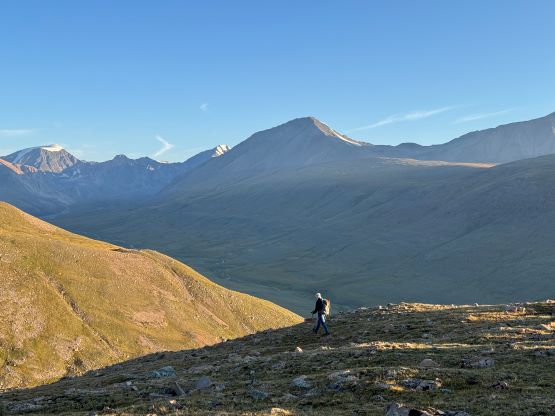
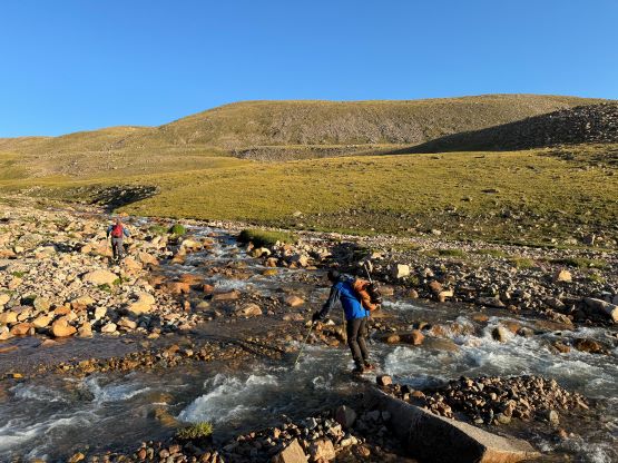
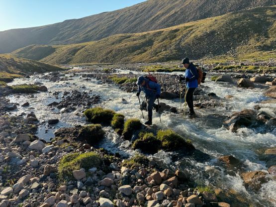
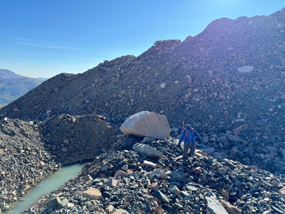
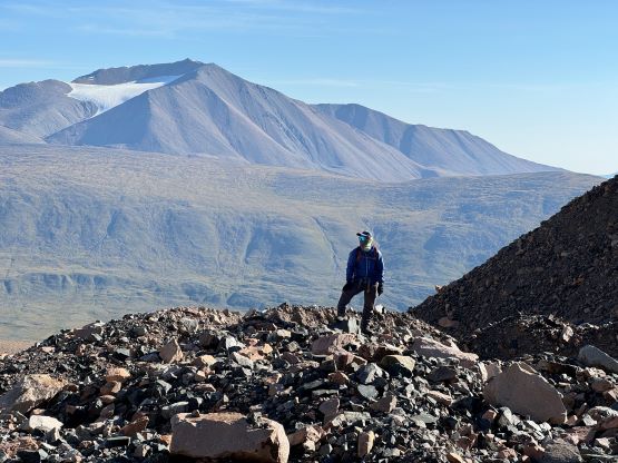
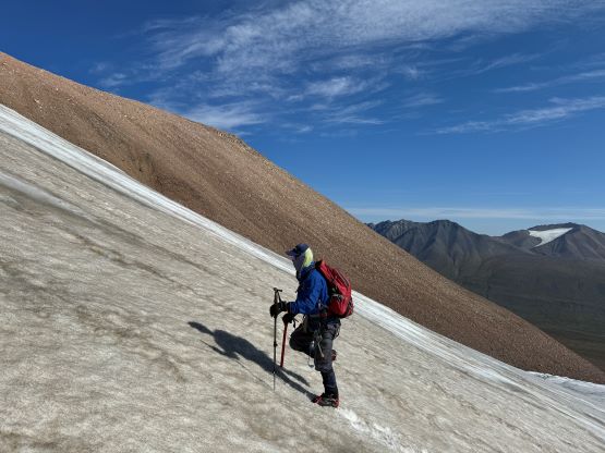
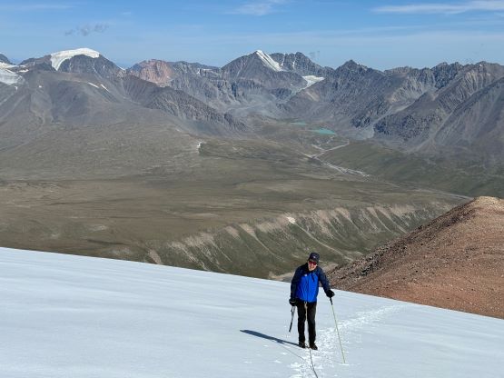
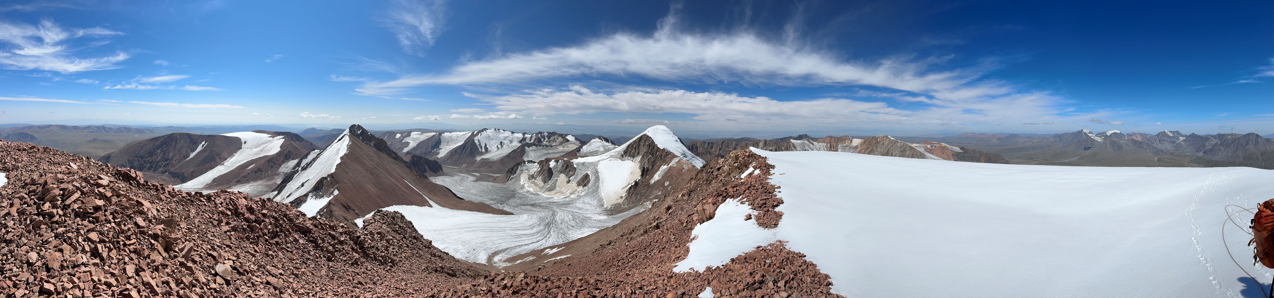
The next morning we decided to wake up and have breakfast at daybreak and start the long plod at sunrise. In retrospect we should have given the weather more respect as there are frequent afternoon/evening thunderstorms in this part of the country. We ended up finishing the trip just moments before a big store blew in so we got lucky in the end. In any case Petter and I followed out guide Manlai across some open terrain and then descended into the main valley separating our camp with the objective. This descended required almost 100 m elevation loss and there’s a river to cross afterwards. We were able to hop across on boulders but careful route-finding was needed. Adam decided to take his own way but turned around at the river crossing as he was still feeling the altitude and the long lasting lung issues that could or could not be “long Covid”, but nobody knows. Adam ended up having to quit this entire trip afterwards as most, if not all of these Mongolian objectives are at or above 3000 m altitude. The three of us continued and made a rising traverse out of the valley on mostly grassy slopes to the broad ridge leading towards Must Peak’s east facing glacier. The final section before reaching the glacier was very tedious due to unstable boulders on some undulating moraine. I decided to wear trail-runners all the way across these painful moraines to the edge of the glacier and we did our first formal “stop” there to don some gears. I ditched the trail-runners and donned mountaineering boots, crampons and harness, but the decision was not use rope up until absolutely needed.
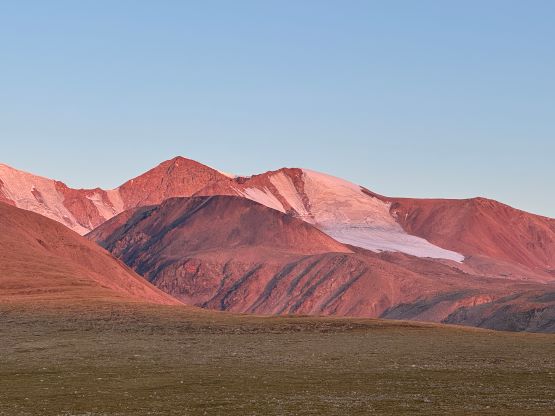
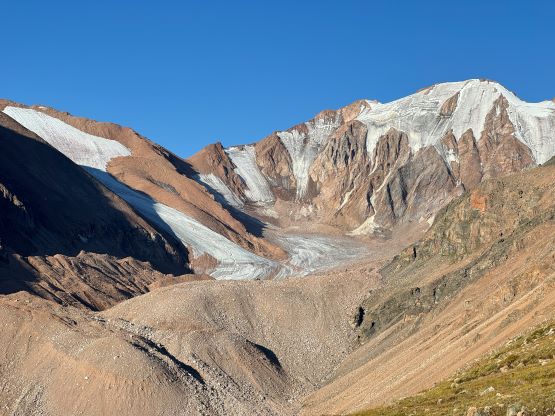
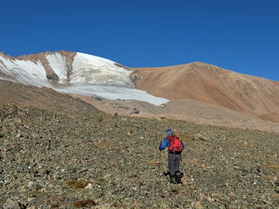
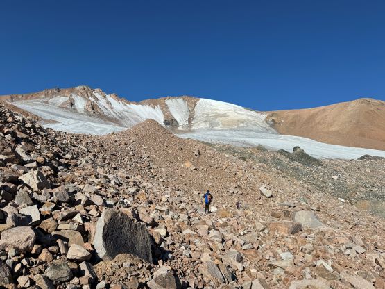
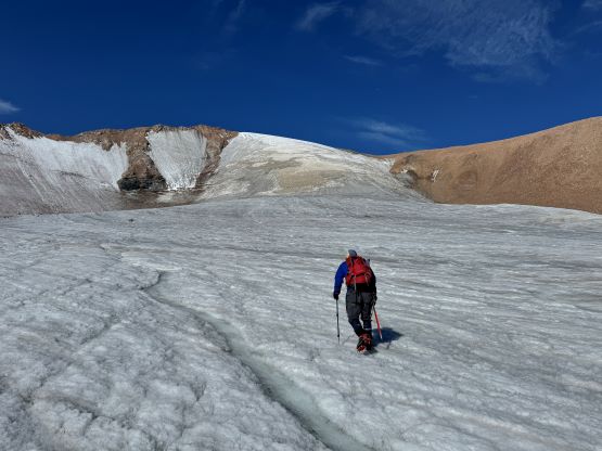
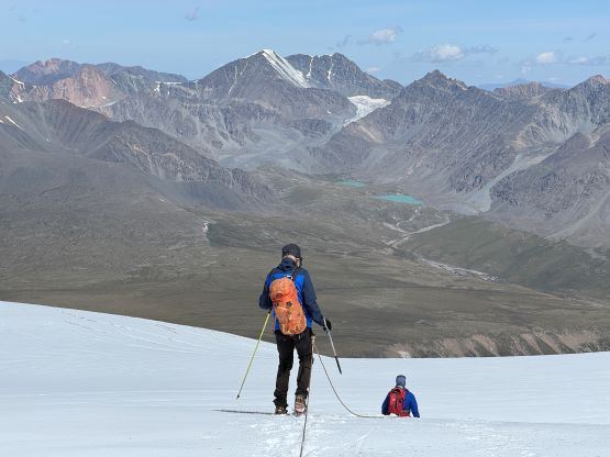
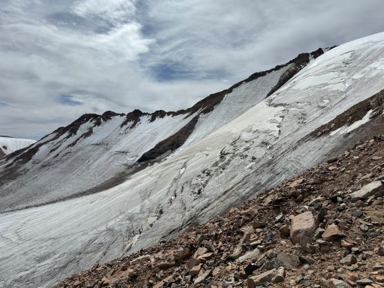
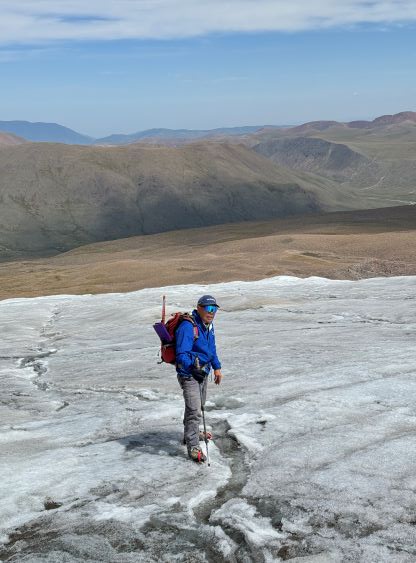
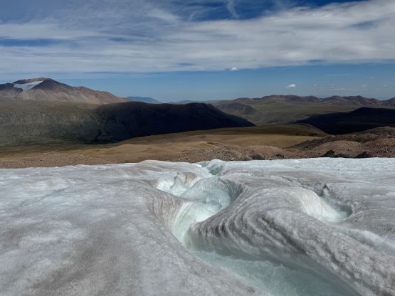
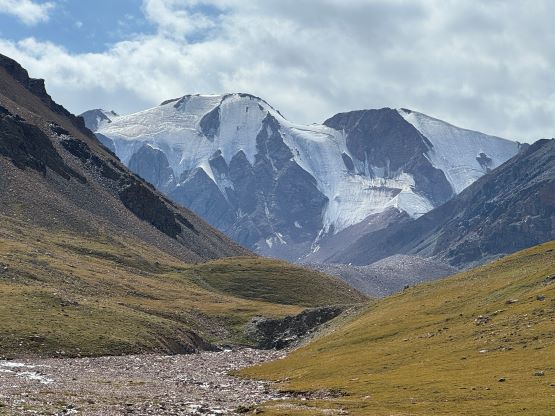
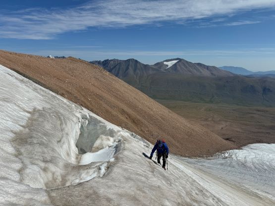
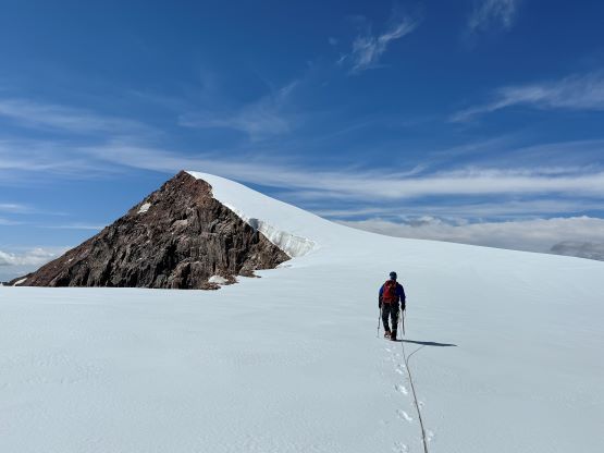
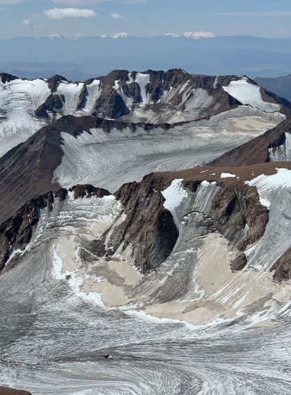
The lower glacier was low-angled ice that was easy with just crampons and two trekking poles but then Manlai somehow decided to make a full ascent of this east facing glacier. I thought the easiest way was to get off the glacier to scramble up some horribly loose choss on the far climber’s right side, but I wasn’t opposing the idea of making a more technical climb, especially considering our climb of Turgen Uul a few days later. The glacier turned out to be harder than I thought, and we were forced to rope up after hitting some unconsolidated snow bridges. Our guide is very experienced with a solo ascent of Shishapangma on his resume but when it came to glacier travel I trusted my own navigation more, so I led across probing extensively. There were at least 3 or 4 very sketchy snow bridges in addition to some low-angled ice climbing but we did succeed in finding a way through. We all agreed to take the dry route on the descent.
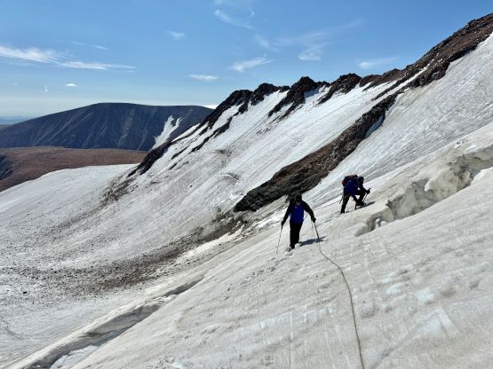
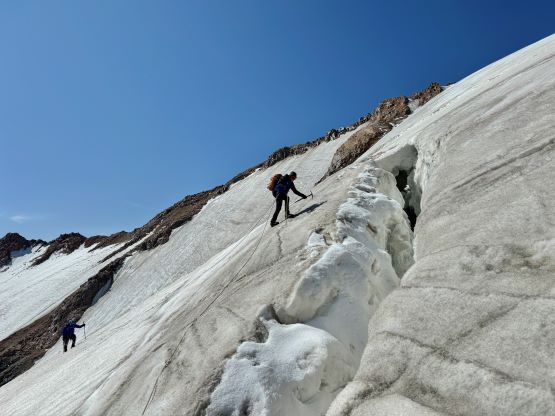
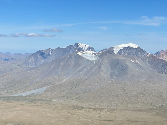
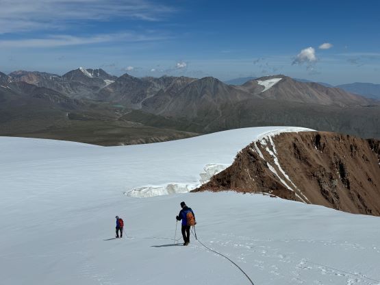
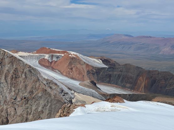
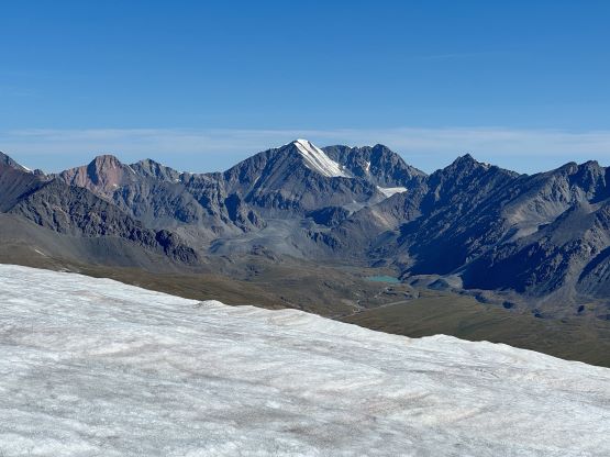
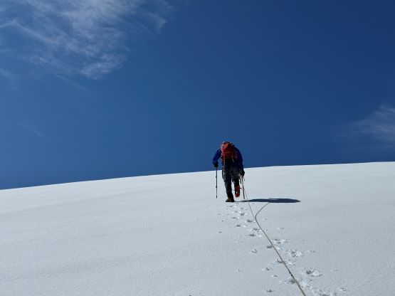
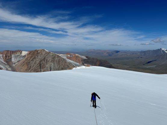
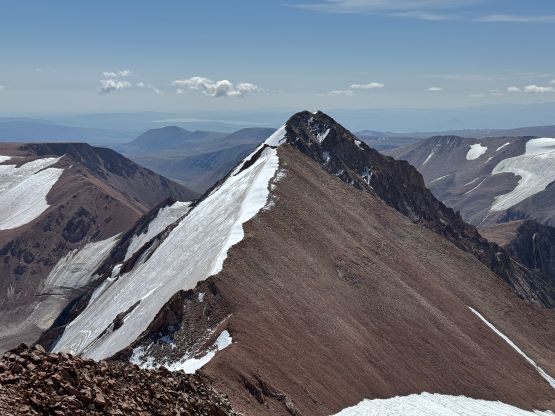
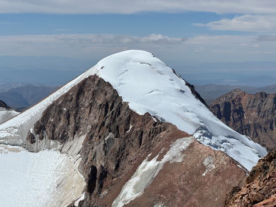
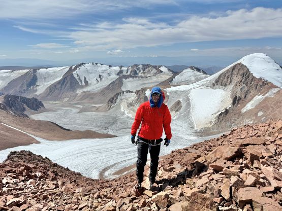
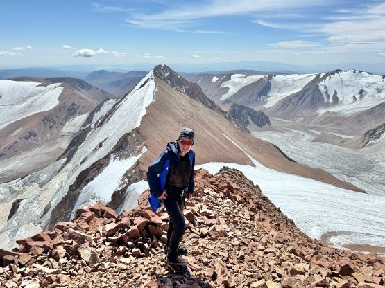
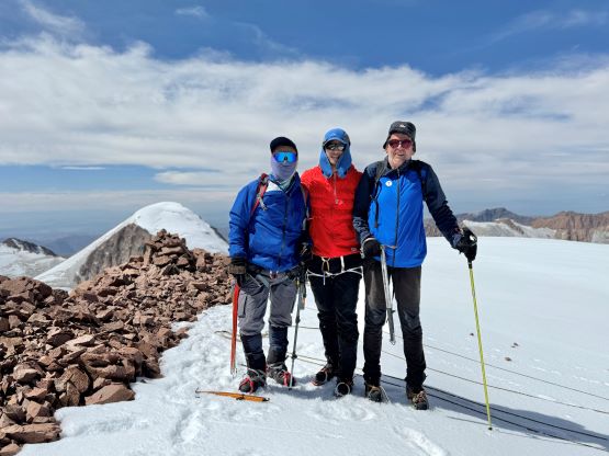
There’s still a snow cap to traverse across and that was not to be underestimated. We stayed roped up as we were on snow, not ice and discovered at least one ankle-biter on an unexpected place. Looking around we could definitely see signs of crevasses and this traverse was almost 2 km long with still substantial amount of elevation gain. The weather was cooperating, at last. Finally we arrived at the summit and got to look at the competing summit about 2 km to the SW. Without a hand level it was not possible to tell by visualization and both peaks have a 4040 m contour on my map. Thankfully Petter found another map that shows a 4060 m contour on Must Peak, and that elevation is confirmed by my Gaia GPS app, so I considered this as “good enough”. The traverse between the two peaks looks complicated and likely will take the majority of a day, and there’s no obvious “better” way in reaching that SW peak.
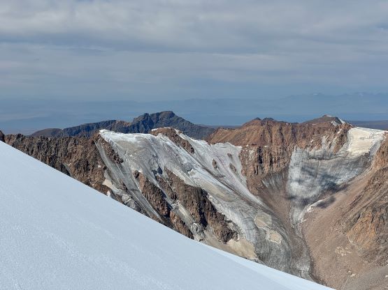
After radioing the base camp we decided to head down as quickly as possible. We traversed back across that glacial cap roped up, and then descended the horrific choss route to bypass the steepest part of the glacier. We might not have picked the best way as the route was quite unpleasant even by my standard. At one point there was a refrigerator sized boulder tumbling down towards me but there was enough distance for me to do something. I was already near the edge of the glacier so jumped on and ran as far as I could. The boulder stopped long before reaching the glacier but another basketball sized one came down the glacier and this was from ice melting. I dashed halfway across the glacial tongue and finally decided it was safe enough to stop and wait for the others. Petter and Manlai showed up later with their crampons but I was okay to descend the rest of this glacier sans them. The moraine was just as unpleasant as a few hours ago but switching to trail-runners made them a bit more tolerable. The rest of the return was uneventful and we finished in over 10 hours round trip. And as mentioned earlier a series of thunderstorms came during the evening but it cleared up nicely overnight. The next day we drove out to Ulaangom to drop Adam off at the bus station so he could return to Ulaanbaatar as quickly as possible (no available domestic flight), and then we drove south towards the next objective.