Altan Hohiy
August 7, 2024
3350m
Umnogovi, Mongolia
Altan Hohiy is another sacred mountain in Mongolia but happens to be one of the 18 “ultra prominent peaks” in the country, so Petter and I must find a way to get up there despite the legal issues. Our guiding company once again decided to offer us support but we must do it “smartly” by not telling the locals about our real intension. Our lead guide seemed to be experienced in this game. Last year our friends Rob W. and Deividas V. made an attempt from the south side but they didn’t manage to drive far. Our plan was to approach from the north and our guide(s) supported this idea, even though none of them had done this mountain themselves.
The original plan was to climb Turgen Uul after Must Peak but we somehow decided to switch the order of these peaks. This led to some hasty last-minute planning using satellite images. Petter had some waypoints saved but those weren’t quite sufficient enough given that our guides didn’t quite know the way, so I had about 5 minutes to do something, mostly by finding a solution on the satellite images using Gaia app. I did not have enough time to download any additional offline map but the images could be saved by just browsing and zooming in. Thankfully within that 5 minutes I was able to formulate a plan, starting from the town of Umnugovi. The road on the Gaia map stops much earlier than reality so we would switch to the satellite layer for navigation afterwards.
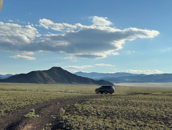
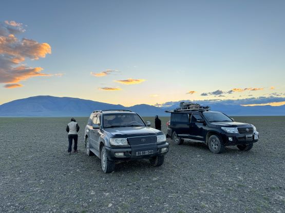
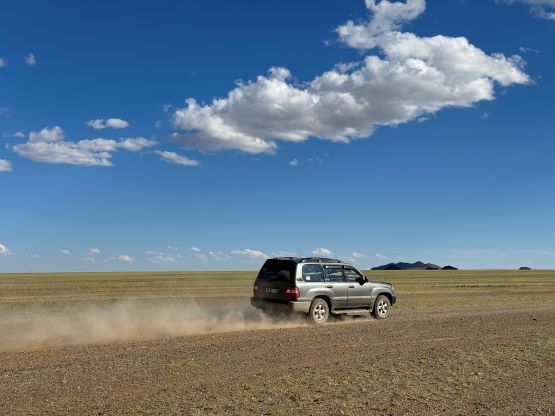
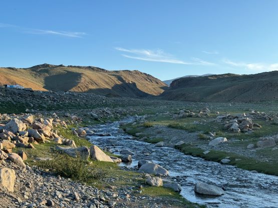
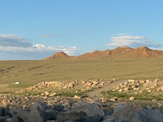
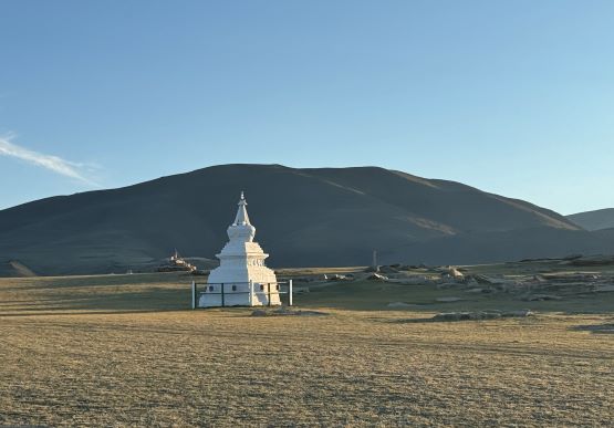
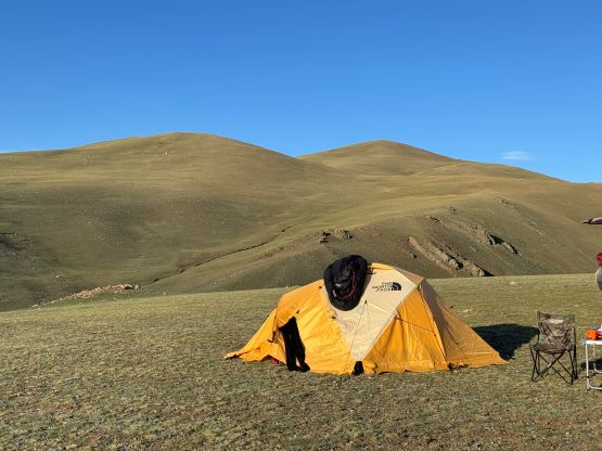
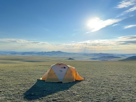
This is one of those peaks that the driving is much harder than the hiking. Right off the bat after leaving Umnugovi we encountered a maze of roads heading south. It might seem like those were just multiple lanes of the same road but they weren’t. After zooming in on the satellite images I directed the driver to cut sharply leftwards. We crossed at least 5 lanes before merging onto what seemed like the “main road” on the Gaia map. We then followed this road southwards for a long while. At one point we were supposed to make a hard left turn and it was here that our climbing guide (who’s in a separate vehicle) decided to take a different way. There’s a big disagreement in whether we should follow the GPS technology or the local knowledge and in the end, both were correct. I insisted on following the GPS so the other vehicle eventually came to join us, and we took the guide’s route a day later on the return. That’s one problem when you have “too much” experience in one group. Usually I’m the only person making decisions but we had at least 4 people in this team willing to and capable of making calls. The two routes merge at a concrete bridge and after that, we made some gradual ascents to a local village underneath the peak. After some discussion we decided to drive down to that village and camp and make friends with the locals, and we promised them that we were only there to pray.

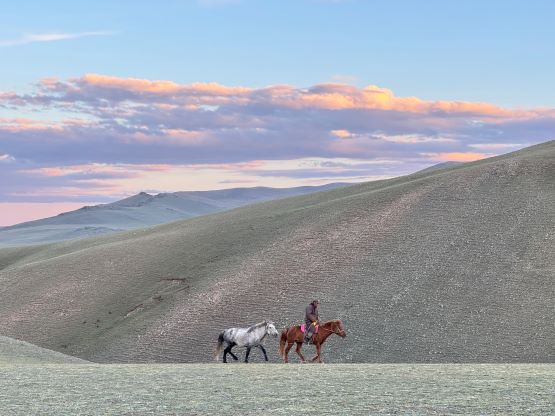


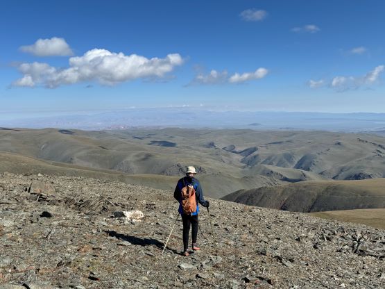
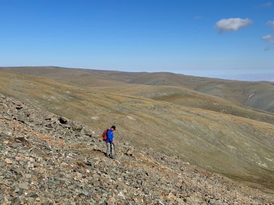
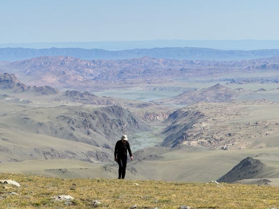
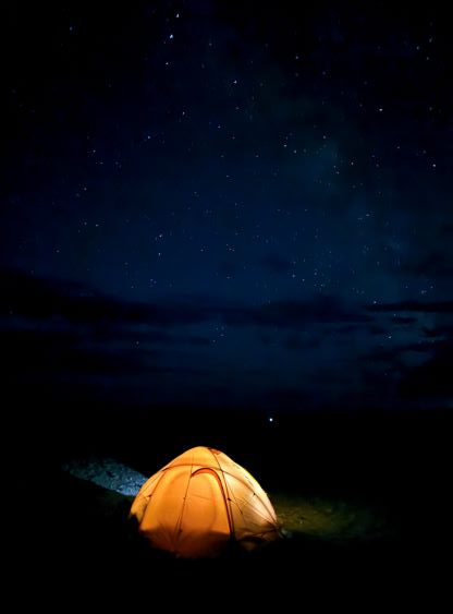
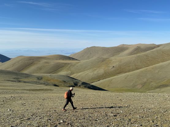
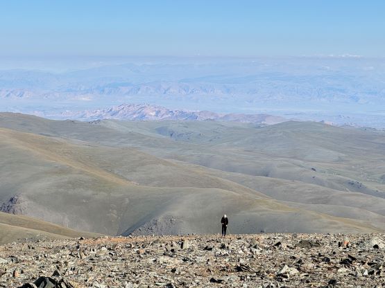
The following morning we woke up sort of naturally as the weather seemed stable. We left the basecamp intact and the driver drove the guide, Petter and myself all the way up to the 2800-m saddle to start our hike. This was shaping up to be one of, if not the easiest Ultra in Mongolia. The driver then drove back down to the basecamp. The true summit was at least three bumps away but it seemed like we could bypass most of them. The plan was to side-hill across on the south-facing slopes and the guide seemed to understand. The three of us ended up taking slightly different paths but the general bearing was the same. We firstly aimed at a shallow saddle at 2950 m and then traversed across the next two bumps using a combination of open grassy slopes and game trails. The final 300-m ascent of the true summit was a bit tedious and the grass eventually gave way to rubble but it wasn’t too painful. The guide and I continued south beyond the summit to check out the next bump but it was clear that the first one was the highest.


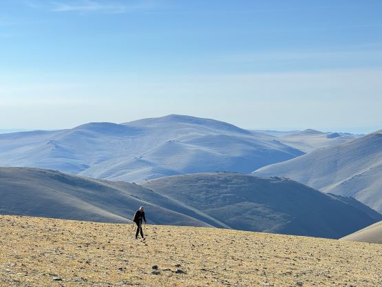


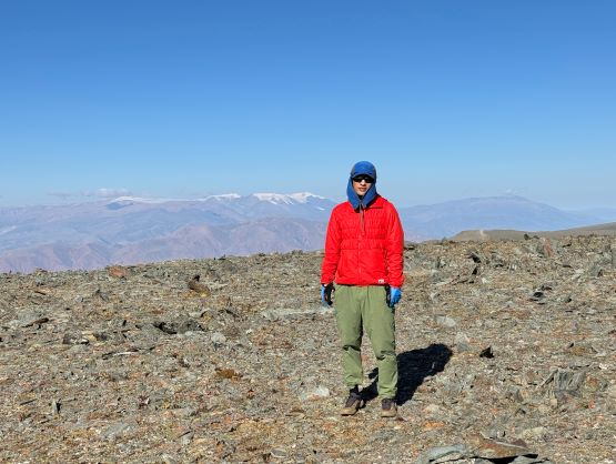
We didn’t linger too long up there as the views weren’t going to change by much. I noticed that after getting back onto those south-facing traverses the guide had slowed down significantly. I thought he was just taking his time enjoying the views, but by the time we got back to the 2800-m saddle he informed me (in broken English) that the walkie-talkie was lost somewhere and he was looking for it. Our suspect was that the radio was lost on the summit and I personally wouldn’t give a shit about losing a radio, but it seemed like a big deal for this guide. The decision was made that he would go back up to the summit and thereafter Petter and I would have to walk back to the base camp to inform the rest of the team what was happening. This resulted in 4 extra kilometers of walking and 2.5 hours of time lost, but sometimes that’s just part of an expedition. The driver eventually drove back to the saddle to pick up the guide and we managed to eventually depart after lunch. The rest of the day was spent driving NW across several villages on mostly rough and bumpy roads to Nogoonnuur to position ourselves better for Turgen Uul on the following days. To my surprise there was actually fairly good reception on the first half of the drive, but not on the second part until reaching Nogoonnuur. We drove past that town and found some flats to set up camp at dusk, and the mosquitoes were quite horrendous.