Pulau Gaya High Point
September 3, 2023
258m
Sabah, Malaysia
“Pulau” in Malay means “island” in English and Pulau Gaya is the largest island in the vicinity of Kota Kinabalu with the highest point over 250 m above sea level. To bag the high point of this island wasn’t on the agenda and in fact, the original plan for this day was to simply rest. I had planned a buffer day in Kota Kinabalu to take in account of the odds of flight cancellations. Our first flight out of Jakarta was indeed cancelled at the last minute, but they managed to put us on the previous flight, more than an hour earlier. A few hours later we landed in Kota Kinabalu and I noticed a bunch of hills in the vicinity as I was sitting next to the window. I immediately refreshed the peakbagger app and sure enough, a few of these hills do boast over 100 m prominence so I must make use of this “rest day”. One of them is “UMS Peak” entered by Eric Gilbertson but I needed at least another peak to fill in the day. I browsed the Gaia map and decided on Gaya Island’s high point. The trail shown on my map does not go to the true summit but I spent more than an hour to research afterwards in the hotel. The high point is completely forested and rarely done, but there’s definitely a trail. I could not find a GPX track but I downloaded a hand-drawn trail map.
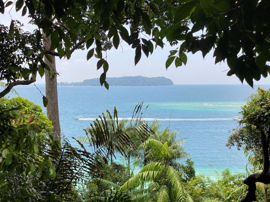
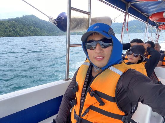
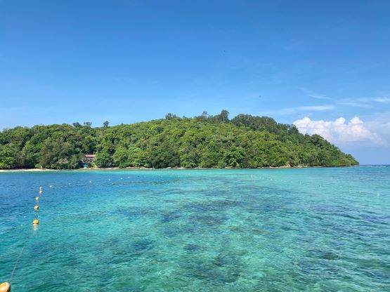
The simplest way to get onto Pulau Gaya is by boat from Jesselton Point Ferry Terminal in downtown Kota Kinabalu and to get there I only needed to take a taxi using Grab app. Adam was not interested in this hill as it’s likely to be more involved than anticipated. After a worthy buffet breakfast I left the hotel at 8 am and got to the ferry terminal 20 minutes later. The ferry was decently cheap (35 MYR round trip), but the schedule was not very desirable. Firstly they said the boat would not depart until it’s full so I had to wait for at least an hour at the terminal, but then they came back saying I could take the other boat departing for Sapi Island. These two islands are very close to each other so the boat could drop me off on Gaya Island afterwards. This might seem great but not quite. The problem was the return that the first boat would not leave Gaya Island until 1 pm so I was looking at several hours of waiting no matter what. Nonetheless I accepted their offer to get me onto the island an hour earlier. There’s likely more things to do there than at the chaotic Jesselton Point Terminal. The boat was rather small (maximum 10 passengers) and the ride was extremely fast, that at times we were flying a meter above the waves. My asses were still hurting from the bumpy rides. Thankfully the ride was done in 20 minutes. As expected, everyone else got off onto Sapi Island.


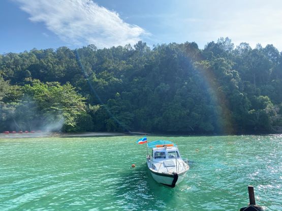

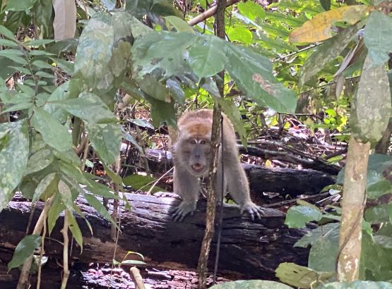
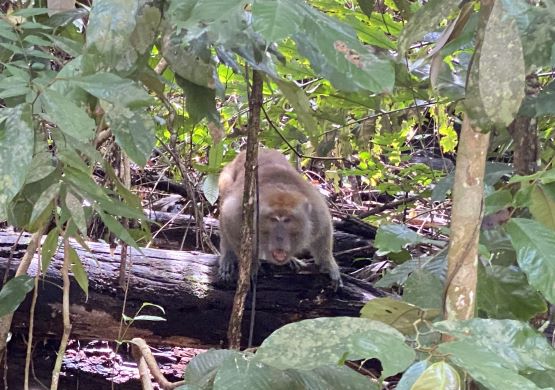
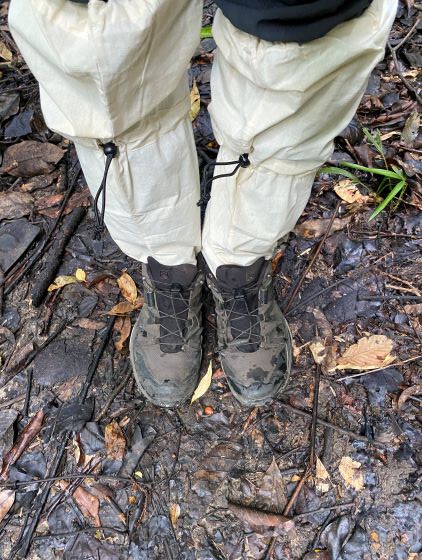
It’s worth noting that there are quite a few spots on this island where a passenger boat can park, but some of them are privately owned by resorts. The most popular beach is Police Beach but without a reservation you cannot take a boat there. The only option for me as a walk-on passenger was Padang Point and this spot is farther from the high point than Police Beach or the “base camp”. I was then looking at a round trip distance of 8 km, which might not be a bad thing because my flexibility was limited by that 1 pm return time anyway. I was supposed to pay an additional 25 MYR upon arrival as this island is technically in Tunku Abdul Rahman National Park, but I skipped it as nobody asked me to do anything. Instead of lingering at the beach I immediately dived into the forest. The heat was brutal and so was the humidity, that within 5 minutes I had to take my shirt off. I did wear long pants with leech socks as I anticipated a lot of leeches on this island, but in the end I did not find any. I was sweating like a pig even without wearing a shirt, and I had to hike at an extremely slow pace to not overheat myself. There are some up-and-downs but the trail quality was overall “acceptable”. The branch leaving for the true summit was unsigned and difficult to find without a GPX track. I searched around for a few minutes and decided to just bushwhack onto the ridge, and found the trail there. The rest of the way to the high point was straightforward but the final section was steep with a fixed rope “handrail”.

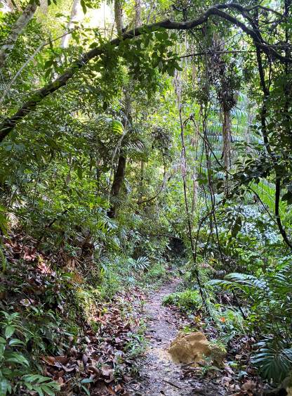

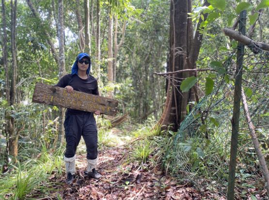
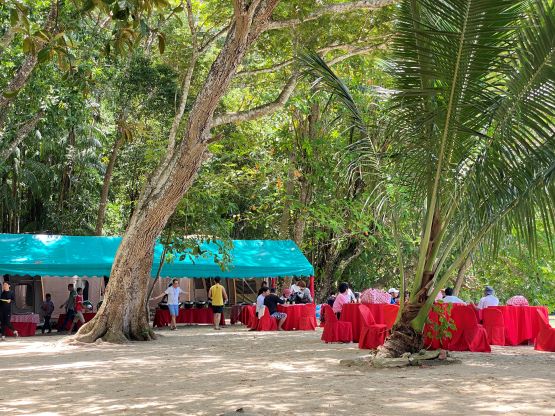
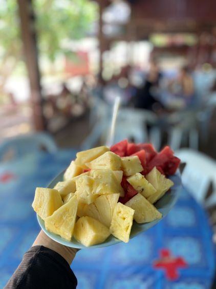
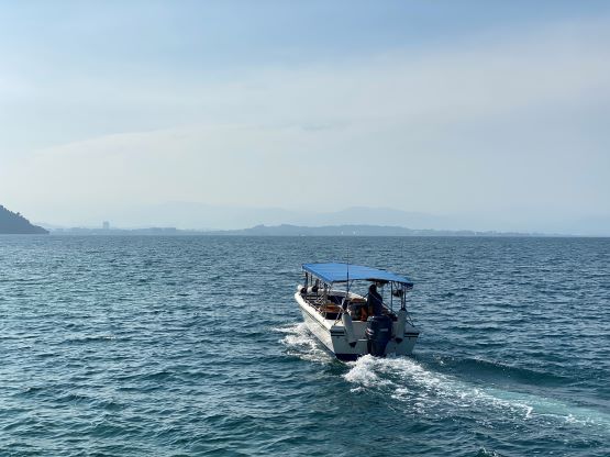
There’s absolutely nothing to see on the high point so I quickly made my way down. I decided to follow that trail and it actually intersected the other trail a few hundred meters down. I just wasn’t patiently enough on the ascent to go that far to search for this trail. The rest of the descent was uneventful but again, slow due to the heat. My round trip time was 3 hours and that was shockingly slow considering the net elevation gain was only 258 meters. I got back to Padang Point with only 1 hour of spare so it was actually a good thing that I took this early boat here in the morning. I did some relaxation on the beach, and bought a fancy mixed fruit in a local restaurant. The return boat surprisingly came at 1 pm. After over a month in Indonesia I was already used to people being late, but I guess in Malaysia most people (and businesses) do actually take time seriously. I got back to the Jesselton terminal and Adam would meet me there and we together would go for that UMS Peak in the afternoon.