Il Mottarone
August 20, 2025
1491m
Piedmont Region, Italy
Il Mottarone is a boring and dull looking hill but boasts over 1000 m prominence and the prominence was the sole reason how I noticed this on the maps. This was the day immediately after finishing Matterhorn so I was downright exhausted, but me being me, that I could not give myself a “rest day” on a self-propelled trip in Europe. A day in the Alps is expensive and I also cannot travel 8 months a year like Adam Walker, so I absolutely had to make full use of the day. The weather had been miserable. We were pitching the tents in pissing rain in Switzerland in the previous night. The long range forecast was also looking hopelessly, but the weather wasn’t as terrible as forecasted as we woke up in the morning with some sun beams around. My original thought was to drive 2000 km to the very southern tip of Italy to escape the weather but I opted for sanity in the end. By downgrading the objectives from “Ultras/P1500m” to “Ribus/P1000m” there were plenty of easy ones to work with, even in bad weather.
The idea was still driving south for better weather but after a quick stop in one of the Italian grocery stores (Conad or Migros) I pulled out the Peakbagger app. I browsed the World’s P600m map and immediately found this almost-a-drive-up hill. This is even a Ribu (P1000m) so Adam was quickly game. In the modern era I simply let Google Map to direct us driving, but the downside was having to pay some expensive toll fees. We ended up paying 10 EUR for the entrance fee but had we dug in the maps deeper we could have easily found a slightly longer, but free route. In any case the forecast was calling for thunderstorms so it might not be a terrible idea to pay some cash to speed things up.

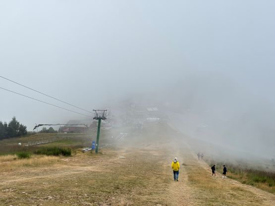
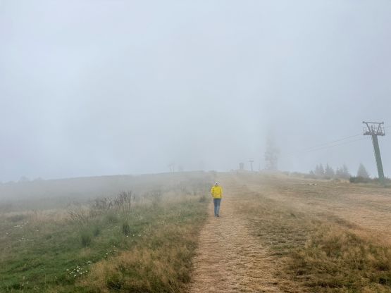
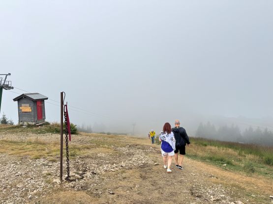
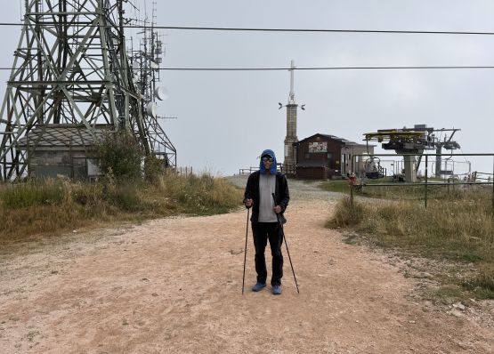
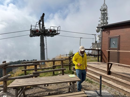
The road was narrow and winding just like most of the other accesses in the Alps, but there were at least no 100 cars around. We only encountered a few downhill vehicles and passing each other was not difficult. Adam eventually directed me finding the exact same parking lot where David Hart started from, as Adam had downloaded David’s GPX track which shows the shortest possible way. The “ascent” was literally a joke. We had gained less than 100 m on the deserted ski runs, and the summit was quickly attained afterwards. There’s a restaurant on the summit but we did not visit, nor did we get much in terms of views. The weather was foggy but the thunders hadn’t come yet.

We managed to catch some limited cell reception from the summit. The forecast was not very correct as my models were showing “rain” even in the current hour, so I decided to plainly ignore the weather forecast for the rest of this day. This meant we would have enough time to bag another peak. Adam found the objective for us this time, a no-brainer P1000m peak about 2 hours driving to the east.