Tai Mo Shan / 大帽山
May 21, 2025
957m
Hong Kong
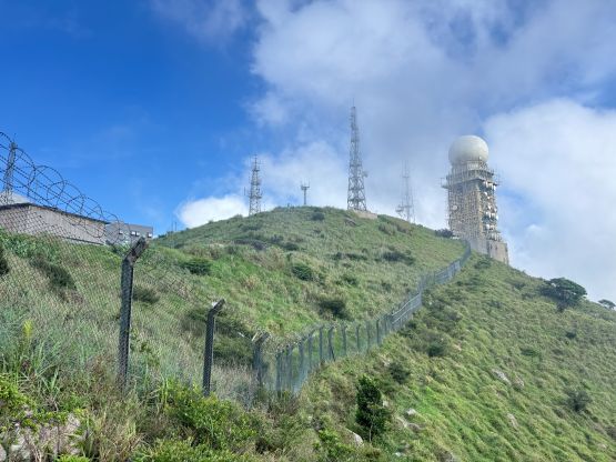
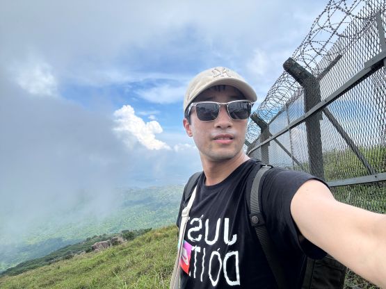
I came across Tai Mo Shan (大帽山) as it’s the highest peak in Hong Kong. Upon further research I noticed a surprisingly large quantity of peaks in the area that one could easily spend a month peak-bagging in Hong Kong without getting tired. I however, only had 11 hours of layover time and I decided that bagging the highest peak would be sufficient enough to call a “success”, even though with a more careful planning I could have snagged a secondary objective, but I wasn’t keen on pushing. I should also mention here that the entire summit area is a military base that one could only legally get to within ~5 vertical meters and ~20 horizontal meters from the highest point. It does not seem like anyone else, at least on peakbagger.com had managed to obtain the permit, nor dared to trespass to the true highest natural point in Hong Kong, so take people’s claim with a grain of salt.
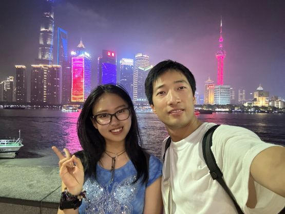
For obvious reasons I wouldn’t travel all the way to Asia and back just for Tai Mo Shan. The main destination was Shanghai and I spent two days there celebrating the May-20th, a newish Valentine’s Day in the Chinese culture with my girlfriend. On the way home I happened to have booked a flight connection that left me with 11 hours of layover in Hong Kong. I did do some digging and decided that it was possible to tag Hong Kong’s highest peak within that time frame by transit and that was it. I did not bother to do any further research until the very last minute. I also was not aware of the trail quality nor the fact the absolute true summit was legally off limit.

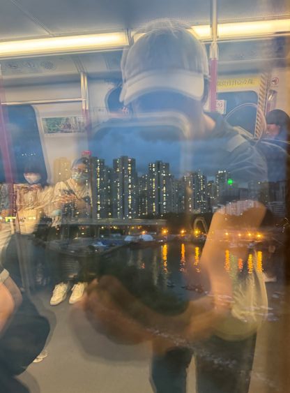
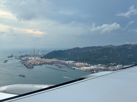
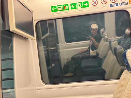
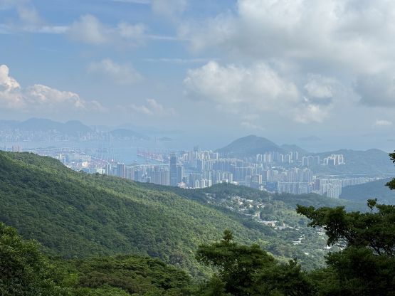
I actually carried ~1500 HK$ from home so that saved me time to do money exchange, and right off the bat after exiting the airport I went to the MRT system and bought the one-way ticket to Tsing Yi station. This leg of the trip was the most expensive as I had no choice but taking the Airport Express. From Tsing Yi station I took two connections to Tsuen Wan station and then hopped onto the “Bus #51” heading into the mountains. The navigation was fine by using Google Map. That bus comes every hour so I ended up waiting for fair amount of time on each side, but at least the time estimation on Google Map app was fairly accurate. I was not particularly impressed by the temperatures in Hong Kong as I was already sweating like a pig and the hiking part of the trip had not even officially started.
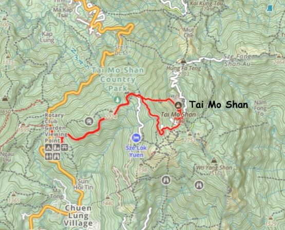
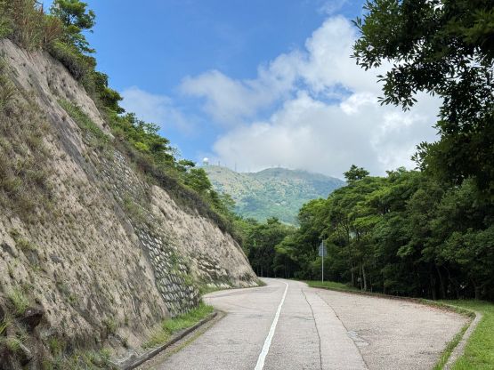
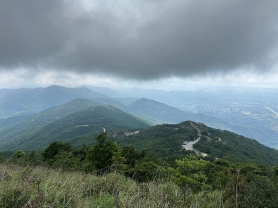
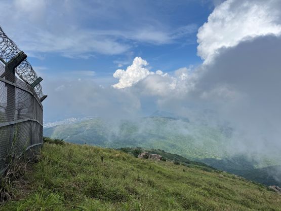
There’s a snack store at the trail-head but it was labelled on the wrong place on the Gaia map. I took a short-cut to the “store” labelled on the map and it only turned out to be a ranger station. To get to the actual store required a few minutes of backtracking and I decided to skip that. I wasn’t in the mood of doing extra work so simply plodded up the paved road. There were vehicular traffics coming up and down but no public transit goes to the higher starting point. A while later I reached the gated office, begged for a bottle of cold water for 10 HK$, and resumed. I decided spontaneously to take the trail shown on the west slopes of Tai Mo Shan on the Gaia map as it’s the shortest way to reach the summit. The trail turned out to be rather shitty and overgrown, but tolerable. The clouds rolled in and I was in some temporary white-outs, and it was quite windy. The wind actually made the ascent more pleasant as the climate here is very hot and humid for me coming from Canada. Upon reaching the fenced-off area I circumnavigated to the south and then the east side, and eventually came to the conclusion that it was not possible to actually enter the area. There wasn’t strong cell receptions for me to do any research up there, so after deciding that I had already got to the “legal highest point” I turned around and started the descent. For a peak with a military base on the very top this one is far from “bad” and I personally considered the job as finished.

Instead of retracing the not-so-pleasant route that I took on the way up, I noticed a trail connecting down to the winding upper road on the south side of the summit. This trail was in a terrible condition. I basically bushwhacked down to someone’s backyard and thankfully nobody was there. This ascent turned out to be completely different from what I was expecting from the highest peak in Hong Kong. I did not meet a single person on the upper mountain, nor was there sign of frequent traffics. While jogging down the winding roads I took a few more short-cuts but eventually I opted to turn on the zombie mode and plodded down to the trail-head. I correctly located the convenience store, had a late lunch and then hopped onto the bus back to the MRT station. Having at least two more hours to kill I decided to take the transit to Mong Kok (旺角) for some city experiences, and eventually got back to the airport with 3 hours of spare. I was dead exhausted and slept through most of the 12-hour flight back to Vancouver.