Cerro Manquehue and Cerro Manquehuito
January 11, 2025
1638m
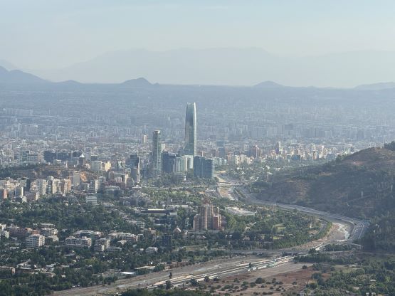
Santiago, Chile
Cerro Manquehue is the most significant hill in the vicinity of the city of Santiago and boasts over 400 m prominence. Cerro Manquehuito is the pimple next to the main objective but still boasts over 100 m prominence so when I happened to have a long layover in SCL airport I wanted to bag them together. This was actually my original thinking but I quickly became lazy and settled on the much smaller Cerro San Cristóbal with Erica, as the temperature was supposed to be 34 degrees Celsius making hiking during the middle of the day extremely miserable. The condition turned out to be not that terrible and we still had a few hours of spare after finishing Cerro San Cristóbal, so I went back to the maps. Erica wanted to spend the next couple hours with her friend and the location of the meet-up was actually not that far from the south side of Cerro Manquehue so I finally made the decision to try these peaks. I gave myself 3 hours to get them done (including the Uber) so unfortunately I had to hurry things up.
This was such a spontaneous decision so I only had a few minutes to research and of course I didn’t bother to read anything about this peak, as the Gaia map showed multiple trails from all different directions. I wanted to have the highest possible starting point so from the SE made the most sense. I ordered an Uber and the cost was about 10 USD which almost doubled my return cost from a different but closer trail-head. The drive to the SE side trail-head was confusing that even the local driver made at least one mistake, and the starting point had no reception. I quickly abandoned the idea of returning the same way as I otherwise wouldn’t be able to order an Uber back, and my next plan was to directly dash down the south side trail which required 200 extra meters of descending but would bring me back closer to the meet-up location (Blue Bird Cafe).
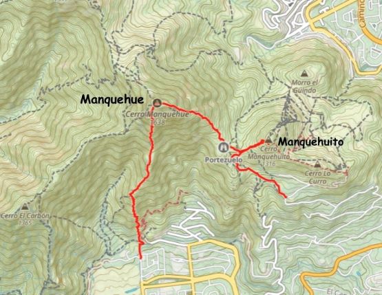
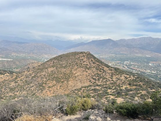
I must have made a navigation error right at the start as I somehow entered a private zone and had to hop over two awkward barbed wire fences to get back to the trail, but I couldn’t care much about that. I then quickly made my way towards Manquehue/Manquehuito saddle and because the plan now was to make a point-to-point traverse, I would have to bag the not-so-exciting Cerro Manquehuito first. I was seriously considering skipping this bonus objective in favour of a more relaxed pace but I resisted that temptation. This one boasts more than 100 m prominence so a peak is a peak. The plodding was more tiring than I thought but at least I made the summit in good time, and to my surprise I encountered nobody anywhere on this mountain.

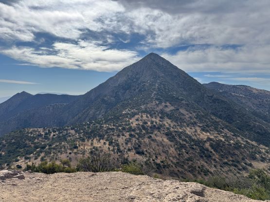
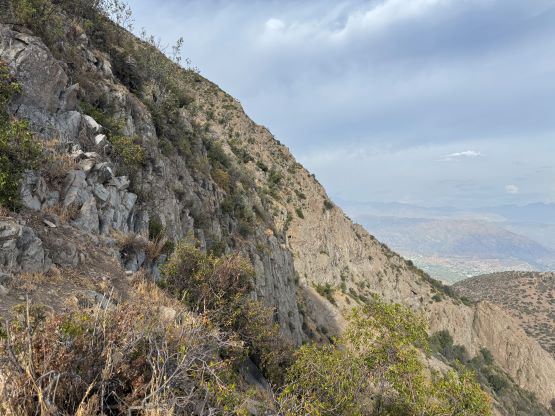
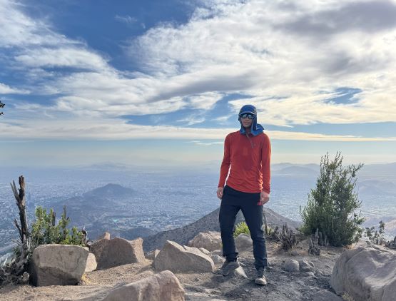
I quickly jogged back down to the saddle, paying extreme attention to the pebbles-on-dirt rail. These trails are not for the beginners by any measure. I then faced than grueling 400 m grunt up the SE Ridge to the summit of Cerro Manquehue and I was feeling quite tired. I was able to thankfully catch a rhythm and eventually made the summit without having to stop for a single break, but the pace wasn’t very fast. The trail was also not that straightforward neither with numerous steep and scrambly sections, and it was a bit awkward having to scramble while holding a water bottle in my hand. I had decided to carry absolutely nothing more than 1 L of water in this outing so I did not have a backpack. I managed to catch some sporadic cell reception from the summit, logged both peaks on Peakbagger app and then informed Erica about my progress. They had apparently moved location but it was still in the nearby area.
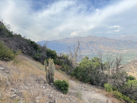


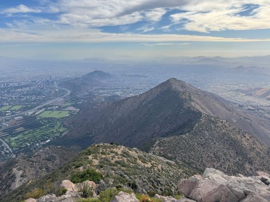
I quickly picked up the trail heading down the SW Ridge but the main trail seemed to traverse farther down that ridge instead of joining the one shown on my Gaia map. I did some off-route travel and eventually found that “path” heading down the south ridge, and the quality of this trail was nowhere being impressive. This was apparently a long-decommissioned path that nobody had ever used for years, but since I had already made the commitment I must resume. The uppermost 1/3 of the route was the sketchiest and I guarantee here that most hikers would have to sit on their asses for most, if not the entire way down. It was challenging enough for me without having a pair of trekking poles and especially while holding a water bottle. I nevertheless made some ginger work and did not take a spill. The progress was much slower than anticipated but thankfully the middle 1/3 was a smooth sail and the lower third, though not that great, wasn’t too terrible neither. The crux came at the very end as apparently this trail had been “closed” so I was facing a 3-meter tall fence on all possible exits. I eventually found a dog hole and crawled through. The rest of the journey back to the airport was uneventful and we even earned ourselves at least 1.5 hours of time to spare.