Hochobir
September 2, 2025
2141m
Klagenfurt, Austria
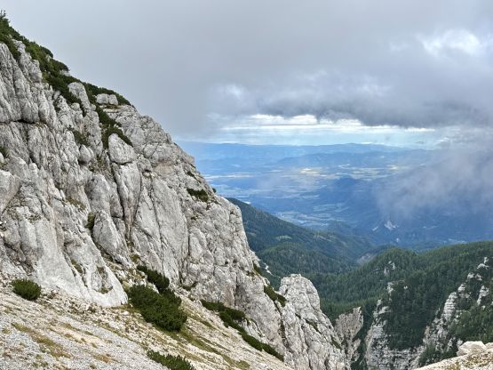
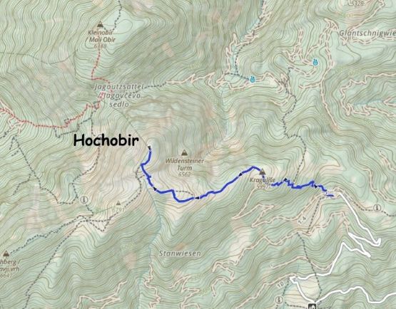
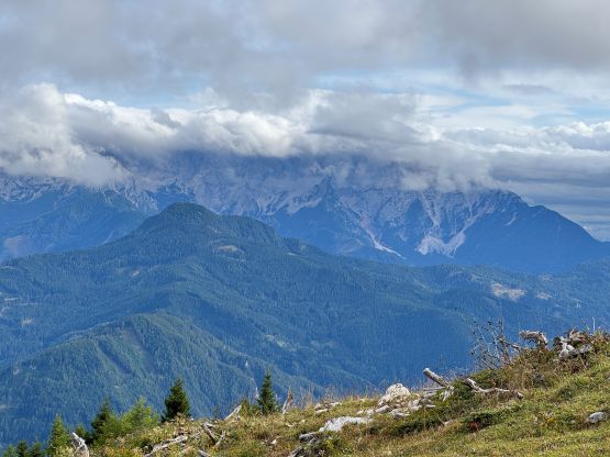
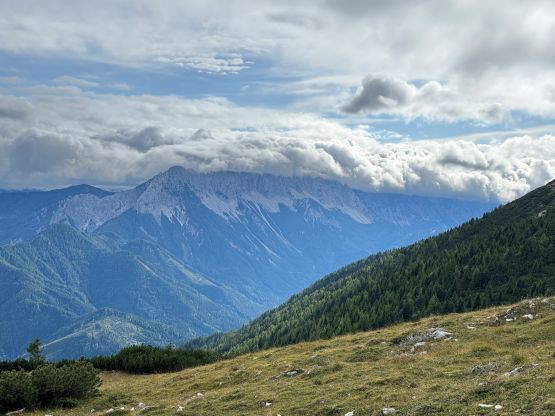
Hochobir boasts over 1000 m prominence in the northern Karawanks Range and offers unobstructed views of the giants in the Slovenian Alps to the south. I couldn’t find a GPX track to download from peakbagger.com so I assumed that it might be a drive-up “freebie”, but it’s not. It’s a proper half-day objective with over 500 m elevation gain. The access is via a narrow, winding but paved toll road and the toll booth requires one to insert coins. This almost ended up being a problem but more on that later. This was the objective of the 2nd last day of this trip. The weather was absolutely crappy everywhere in the Alps except for the area around Klagenfurt so that’s why Adam, Erica and I were heading there. I had been the “weather man” throughout this trip and I was generally able to find the sucker hole even on days with absolutely garbage weather forecasts. This day was not an exception.
We were debating about taking the only “rest day” in the entire 35-day trip given the terrible weather but I managed to find a spot with only 40% chance of precipitation at around 3 pm and oddly enough, there’s an easy P1000m objective in the area. I wouldn’t accept taking a rest day if there’s a remote chance of bagging a notable peak, so we started the 4+ hours drive to the north-east. We were based in a small village not far from Venice in the previous evening and we decided to leave at around 9 am. The weather was not as bad as forecasted that we didn’t even get poured even though we had received multiple “extreme weather warnings” on our cell phones. By the time we drove past Klagenfurt we could even see patches of blue skies so our stoke level was actually quite high. The officials had closed Eisenkappler Hut at the trail-head for maintenance so the road was technically also closed. As a result I thought the toll booth and the electric gate might not work. To my surprise the ticket booth was still working but I didn’t have 10 EUR of coins at the moment. I went out to inspect the shit show, read the instructions and found the money changer designated for exchanging coins (about 10 m away). The problem was then solved, and 15 minutes later we had parked at the trail-head.
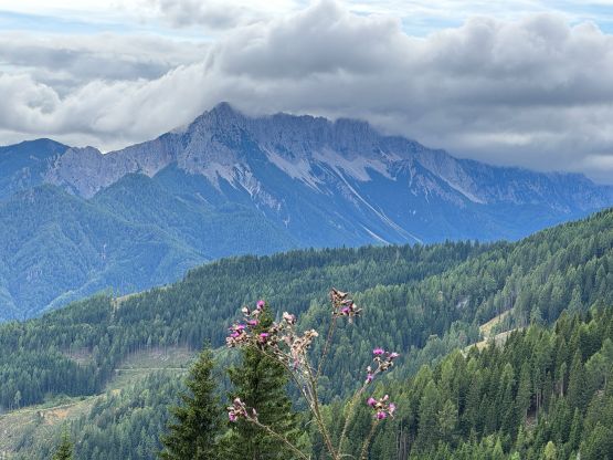
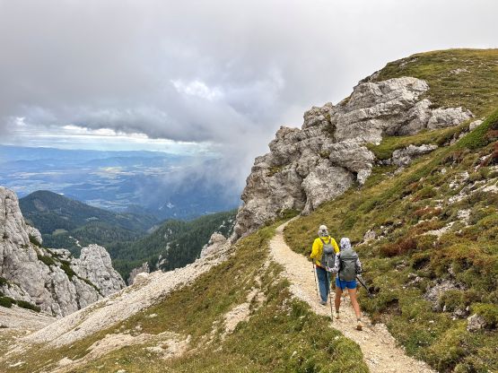
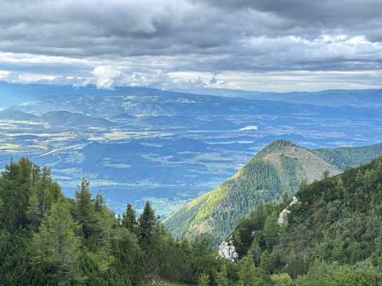
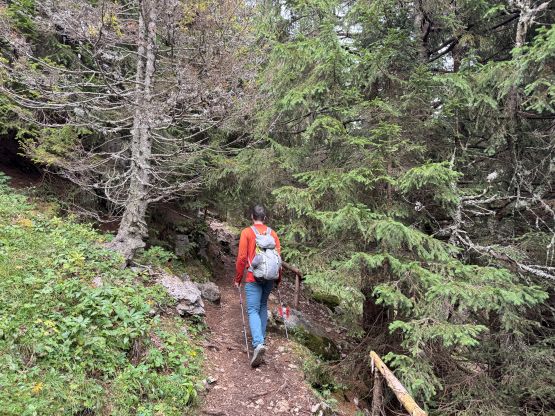
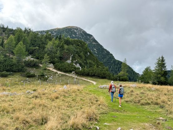
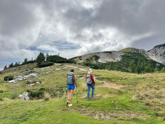
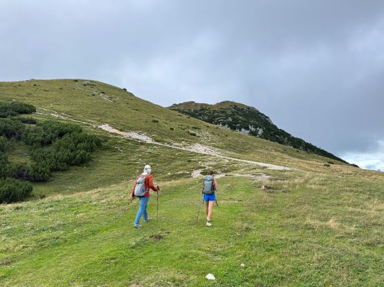
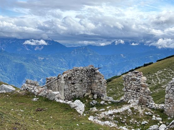
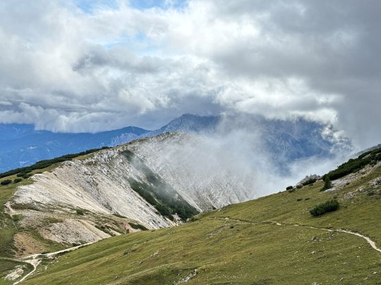
Again Adam volunteered to lead the pace so all I needed was to plod behind, putting one foot in front of another. The lower half of the route was on a nice trail in the forest. The views opened up once we were on the broad east ridge. The weather was clearing but most of the distant peaks were still engulfed in clouds. Contrary to the other “easy hikes” in the Alps we were accompanied by nobody on this day, likely due to the closure of the trail-head hut and facilities. There’s not that much worth noting about the hike itself.
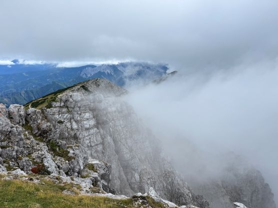
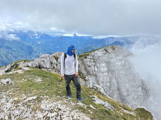
The summit was mostly in the fog and it was a bit chilly up there, so we quickly started the descent. Our round trip time was just over 2 hours which was on par with the other trip reports that I read. Since we did this outing in the afternoon we weren’t doing particularly great on time. After what seemed like a long drive we descended towards Klagenfurt. We were thankfully able to find a grocery store before the 6:30 pm “deadline”, got enough food for the last day and then drove another few hours to the NW towards Polinik. It was pouring cats and dogs to the west of Villach that the few kilometers of steep dirt roads leading to Polinik’s trail-head felt quite eerie and iffy.