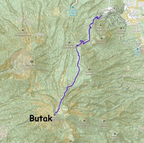
Gunung Butak
July 31, 2023
2868m
Java, Indonesia
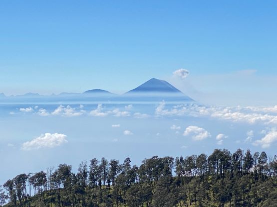
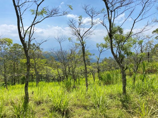
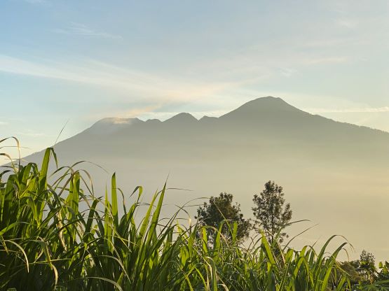
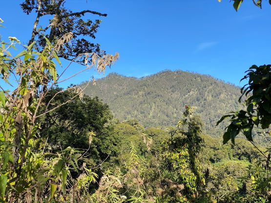
Gunung Butak, also spelled as “Buthak” is one of the 17 “ultra prominent peaks” on Java island and is a rather boring one. The standard route ascends tediously up the north slopes albeit on a good trail. The route requires over 22 km distance and is considerably longer than a lot of the other “ultras” in the area. The elevation gain (1500 m) is rather modest and the trail condition is rather excellent, so this is still a rather easy ascent after all. I did not enjoy it as much mostly because of the monotonous terrain. There’s nothing fancier than putting one foot in front of another, for several hours, and most of the route is in dense vegetation. There are plenty of spots for views including the huge plateau on the summit, but the view is never 360-degree.
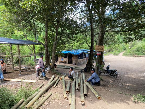
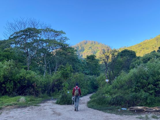
Adam and I decided to do Butak immediately after making an ascent of the nearby Gn. Arjuno. We used a hotel in Batu as our “basecamp” for these two peaks and it made sense to do them back-to-back, even though we’d be tired afterwards. We made our driver to pick us up from the hotel at 5:30 am again, after having another massive breakfast meal. The meal’s energy ended up lasting for more than 3 hours such that we ate no additional food until the summit. The drive to Butak’s basecamp was straightforward on paved roads except for the last 200 m. Rob Woodall had mentioned taking ojek rides up the last stretch, but we did not need that. Jose (the same driver that Rob used) managed to drive us all the way to the “basecamp”. It was already getting busy there with one man collecting our parking fee. Adam and I also needed to obtain our hiking permits before proceeding onward. The tickets only costed several dollars so the cost of this red tape thing was rather negligible.
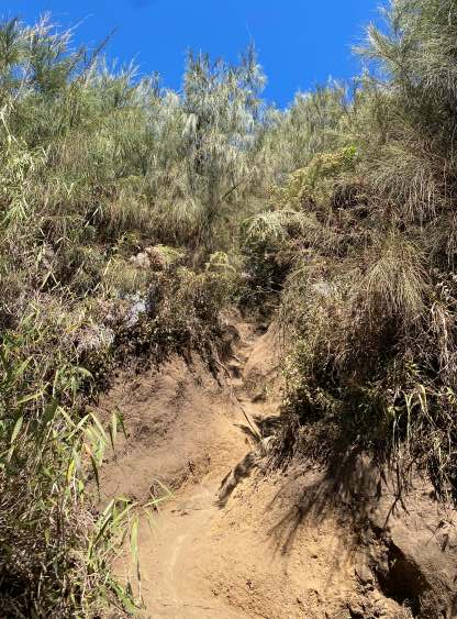
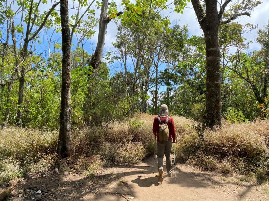
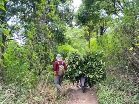
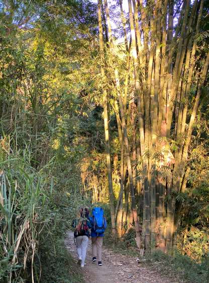
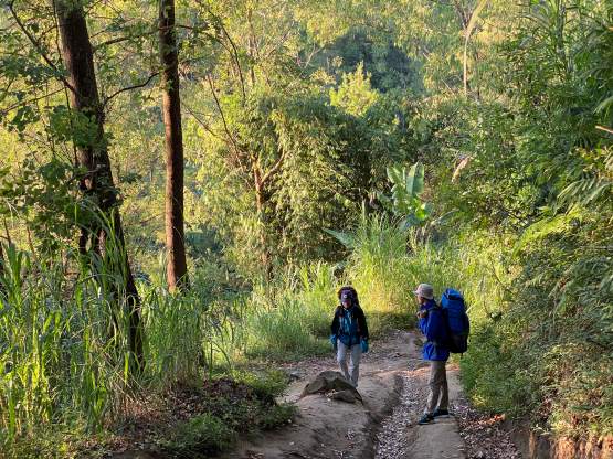
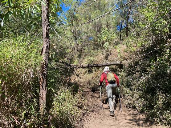
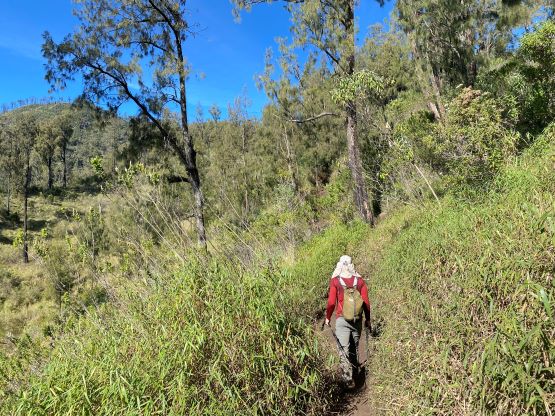
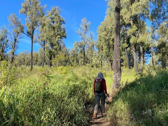
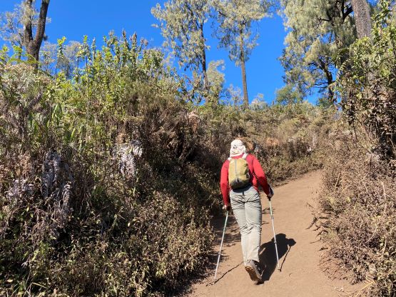
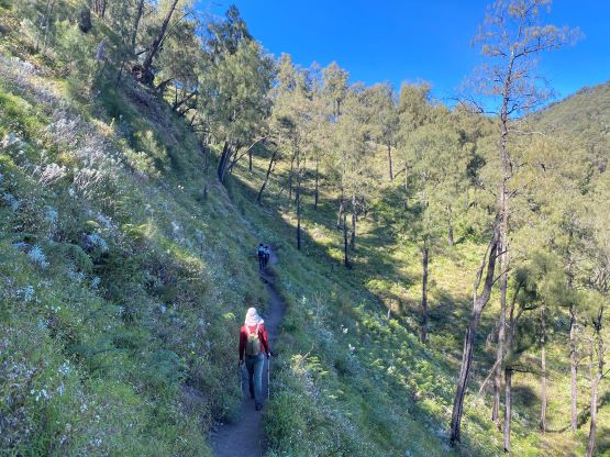
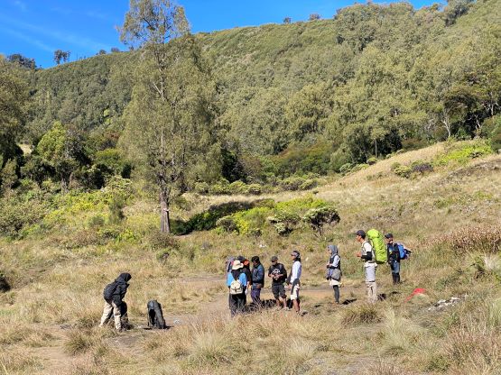
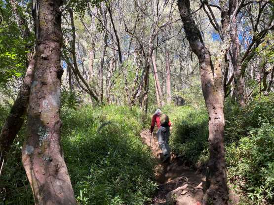
The first few kilometers of the hike were on an obvious ojek trail so we wondered if we could actually ride them up to save time/energy. I think the answer would be negative as all the hikers we passed were walking. We did come across one descending ojek, but the driver was obviously collecting bamboos instead of transporting trekkers. In short time we made to the end of the ojek trails and beyond that, only foot passengers could go further. As mentioned earlier the hiking was boring and monotonous, but was thankfully mostly in the shades. The temperature was hot so we were glad that we didn’t have to hike under the sun. From around 2000 m elevation the trail traverses several kilometers across a large wooded plateau with only marginal amount of elevation gain.


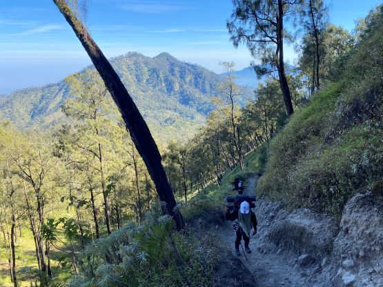
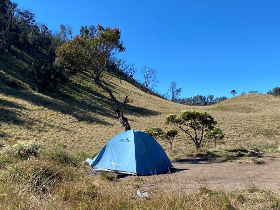
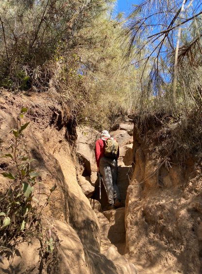
We finally started to gain elevation rapidly from 2200 m onward but the shades were no longer there. The trail was extremely dusty so we were forced to take one short break for water. Adam was pushing for the whole ascent without a single stop but the mission was not possible. We were still over 400 vertical meters from the summit by the time I called for that water break. We then ascended to and beyond the camping area on the 2700-m plateau, and onto the final summit push. There was one steep stretch that required some class 2-3 scrambling and that was not expected. The summit ridge was soon reached and the true summit was about 200 m further south down the ridge. Both of us were due for a long food/water break, but we did make there in just over 3 hours after leaving the vehicle.


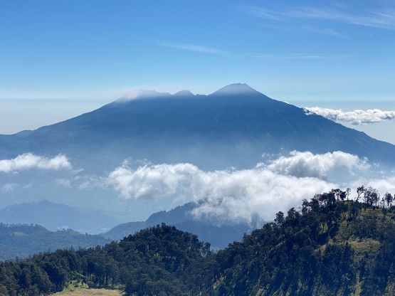
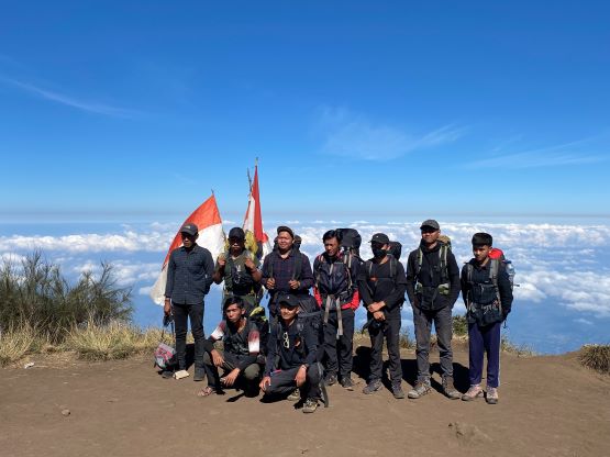

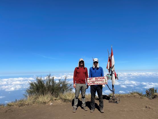
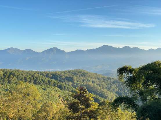
The views were good, but not that great, so after taking some obligatory photos we committed to the descent. As expected we opted to dash all the way down to the trail-head in a single push, that I ended up carrying 1.5 L of redundant water in this trip. I was hoping that we would take a break somewhere, but that was not happening. My feet were sore but I decided to just suck it up and deal with that later. We were supposed to take a rest day afterwards anyway, so there’s no point in reserving. Our round trip time was just under 6 hours. Our driver then drove us back down into the city of Batu and we struggled to find a decent restaurant again. I somehow randomly spotted a Warung place which we had been on-purposely searching for days, and that saved the day.