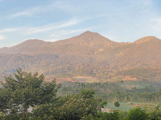
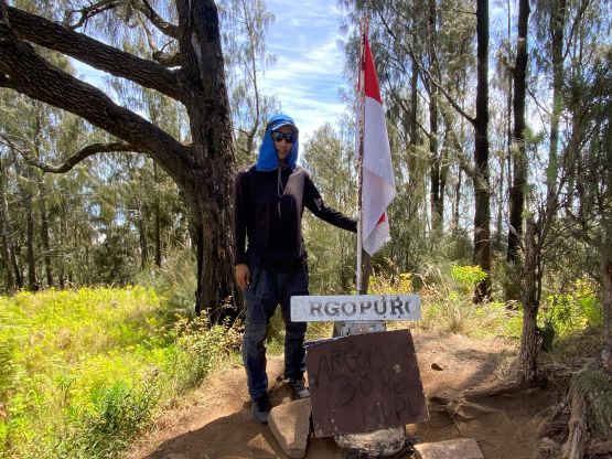
Gunung Argopuro
July 28, 2023
3088m
Java, Indonesia
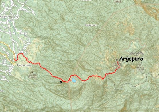
Gunung Argopuro boasts over 2700 m prominence in the province of East Java, but is somewhat obscured and rarely ascended. This peak has the reputation to be the longest trek on the island as the locals do it from the east side or by a traverse, over 3-5 days. This was contrary to my research as I was going to just follow Rob Woodall’s 2022 route from the west side. It’s still a very long trek with over 25 km km distance and 2000 m elevation gain, but should be doable as a day-hike. Not a lot of people do Argopuro from the west side as the approach starts from farmlands. The area is also not heavily regulated such that we could easily sneak in without hiring a guide. I was told a few days ago on Gn. Raung that a guide is technically required for all peaks in Indonesia for foreigners, but I don’t think it’s strictly enforced.
Adam and I hired a local driver to transport us from Kalibaru to the west side of Argopuro. We booked the same hotel (Bumi Bermi Permai) that has been mentioned in Rob’s trip report. This hotel locates within 1 km from the start of the route, so even if we couldn’t find two ojek (dirt bike) drivers at the last minute we’d still be fine. Our private driver spoke good English and helped us to find some shirts and gears in a shopping center, but didn’t seem to understand the directions well. The driver opted to blindly trust Google Map and got us onto some sketchy and narrow dirt roads. I quickly called him out and made us to turn around. Taking a short-cut has that potential to be a brilliant idea, but also has that potential to be a very stupid idea. When planning and executing a plan I always prefer the “known”, even if that means to sacrifice some efficiency. I made us to go all the way back to the main road and drive all the way around the west side of Lamongan towards Probolinggo. The traffics in the city areas were horrendous but our driver was skillful that we didn’t actually lose that much time. This was still a longer day than I thought, that we eventually arrived at the hotel at 5 pm. The manager spoke very broken English but the driver helped us to translate. We managed to secure two ojek drivers who would come to pick us up at 6 am. They said that they could drive us all the way to Taman Hidup at 1950 m elevation. If that turned out to be true, this peak would then become a rather short hike.


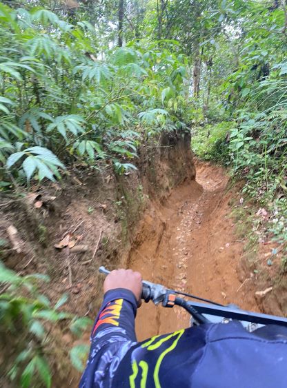
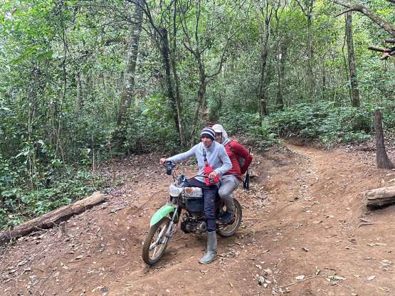
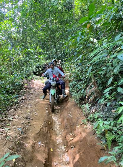
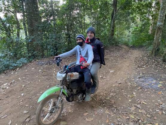
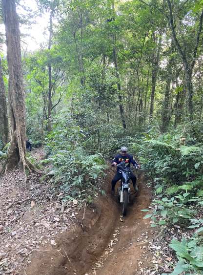
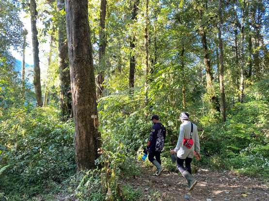
The breakfast was ready at 5 am and the ojek drivers came early, at 5:30 am. Adam was about to get ready as planned at 6 am, but I said that the earlier we could start riding the more contingency we would then have. We scrambled back to the room and did the last minute things and were on the road by 5:45 am. The drivers quickly drove us across the paved portions of the farm roads. Rob W. had started at the end of the pavement and I considered that spot as the “worst case scenario”. The best case scenario would be all the way to Taman Hidup as they promised, but I never counted too much on people’s words like that. The unpaved portions of the farm roads were very bumpy, but very rideable that in short time we made to the edge of the farms and then into the forest. I could tell without looking at the maps, that we took the exact same route that Rob did, as I remembered that critical “right turn” mentioned in Rob’s trip report. Immediately after diving into the forest we encountered an extremely steep and deep trench that Adam and I had to get off the bikes and walk, but otherwise we were able to stay on the seat of the bikes for most of the way up. The drivers knew what they were doing, and got us all the way to 1850 m. The final stretch was too steep that one bike was overheating. The drivers walked with us to show where they’d be waiting at (Taman Hidup), after ditching the bikes. This was only my second time riding on the back of a dirt bike and I felt this to be rather fun, than scary.


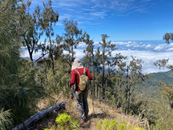
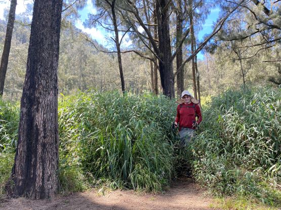
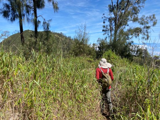
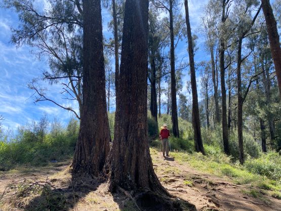
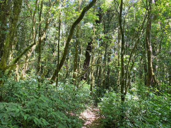
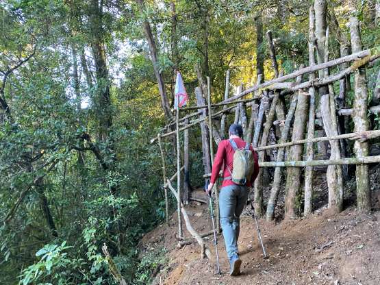
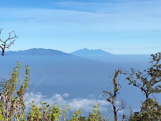
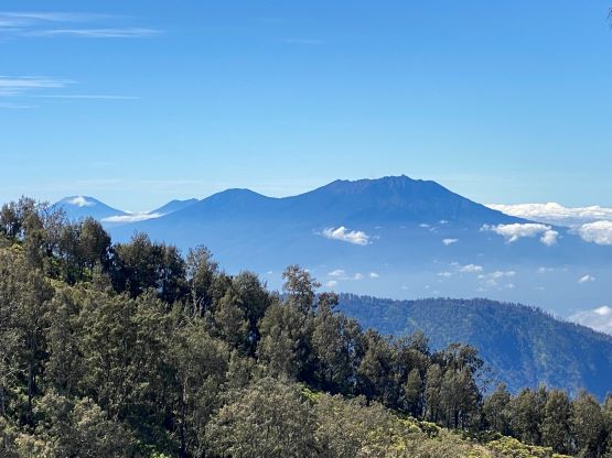
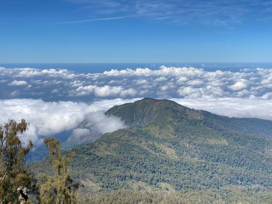
Riding to this elevation meant we were essentially 90% close to the “best case scenario” so this would indeed become a shorter day than anticipated. With Rob’s GPX track the route-finding was straightforward. There were actually not that many junctions and it’s very easy to stay on the most obvious path. The trail was heavily overgrown for 1-2 km at around 2500 m elevation, near the “dry creek crossing”, but I wouldn’t call this a “bushwhack”. I’m sure this would be miserable in wet conditions, but in the dry season it wasn’t too bad. The final ascent involved 600 m grueling elevation gain up the SW slopes onto the summit ridge, but we did get some intermittent views when looking back. Once onto the summit ridge we had to traverse up and over a false summit that involved about 20 m elevation loss. The ascent of Argopuro took 3 hours and wasn’t as short as I hoped for, even by taking the dirt bikes to 800 m higher than the “trail-head”.


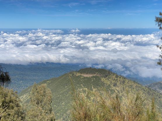


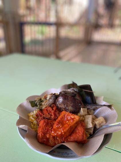
Due to the lack of views we quickly started the descent. The power-walking quickly became jogging and eventually turned into trail-running. The hiking portion of this trip was quite boring overall, so we had little motivation to linger any longer than necessary. We were both looking forward to the ojek rides, which were the actual highlight of this outing. At the trail junction I ditched my backpack and went for a short detour to Taman Hidup to inform the drivers to start descending. We told them that we’d be back in about 5 hours and we indeed got back in 5 hours, though barely. The drivers had actually gone back to push the bikes all the way to the bikeable end, but we weren’t aware of that. Instead, we kept walking after passing those bikes for at least 100 m descent. A short while later we heard the engine sounds from behind, and then realized that those bikes were actually ours. The downhill ride was much simpler than expected, that after getting into a rhythm I actually managed to free one hand for some videos and photos, which was definitely not to be expected. I also did not have to get off the bike for a single time, thank to the skillful driver. The entire downhill ride back to the hotel took 1 hour, and after paying them we went for a local Warung for lunch, one of the best I’ve had in this trip.