Mount Russell [BC]
February 15, 2026
1742m
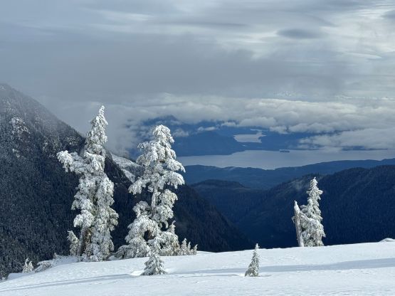
Vancouver Island, BC
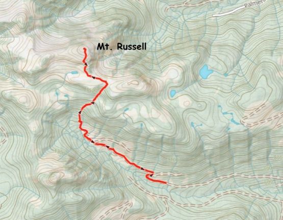
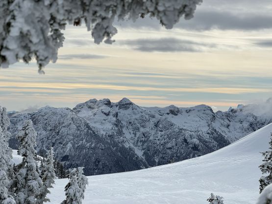
There are a number of peaks named “Mt. Russell” in North America with some of them being more significant than the others. This is a rather obscured one on northern Vancouver Island but does boast over 600 m topographical prominence. I got the idea simply by reading Matt Juhasz’s trip report. This sounded like a short and “no brainer” objective that doesn’t require the most bomber conditions but yet offers some nice views.
Kate was available again so it made sense to plan something with more driving than hiking to put her Subaru with Wilderness Model in use. I had lots of ideas but eventually picked Mt. Russell as I was slightly more keen on seeing the Island views. The weather would be moving in by mid-morning so I booked the 10:40 pm ferry ride from Horseshoe Bay to Nanaimo and the plan was to skip sleep in order to be in the alpine before the clouds rolled in. The driving was quite exhausting. I didn’t turn off the Island Highway until way past 2 am and the driving up Eye River Main followed by Tlatlos North Main was also longer than I thought. The roads were in excellent conditions but the distance was overwhelming. The spur road heading towards the starting point was quite overgrown that I managed to put tens of pin-strips on Kate’s vehicle. On the bright side, the snowline had retrieved since Matt’s trip a couple weeks ago, that I was able to push the vehicle to 830 m elevation, shaving off 2 km of walking each way.
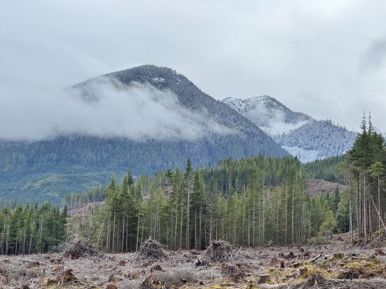
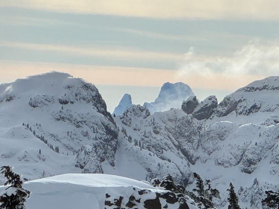
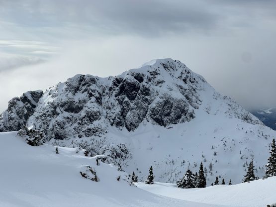
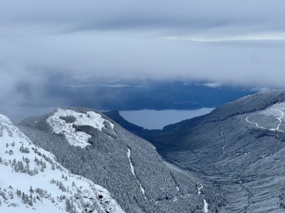
The plan was to catch up an hour of “sleep” but I was too tired to make that happen. In situation like this it would be either “zero sleep” or “a ton of sleep”. If I was that keen on the sunrise views then I should have started right away, but I didn’t. The result was sleeping in till 8 am when it was already bright and sunny. That was fine, as it seemed like we would be getting at least some views anyway. We eventually started almost another hour later. The decision was made for Kate to skip bringing ice axe and crampons in order to catch up some of the time loss. Plodding up the rest of the FSR to the road’s absolute end was indeed very scenic with an unnamed peak catching our attention on the climber’s left side. I had originally thought about bagging it but the weather eventually rolled in so I lost the motivation.
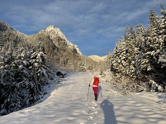
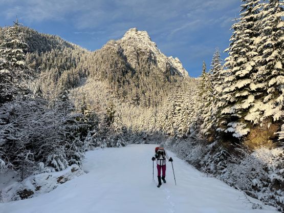
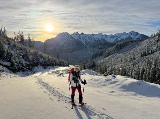
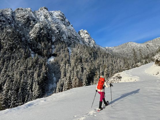
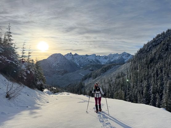
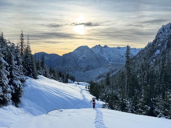
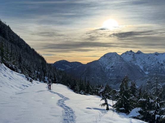
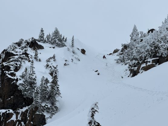
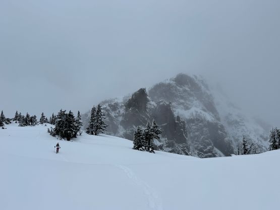
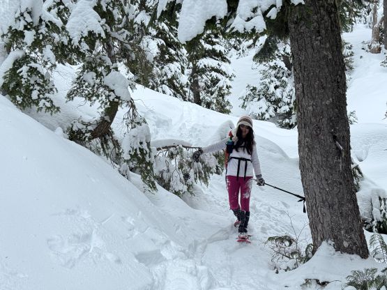
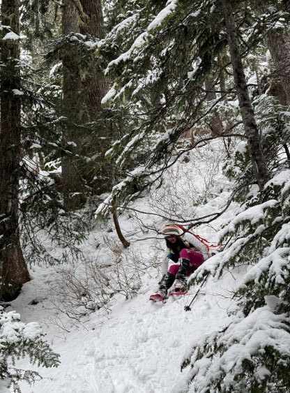
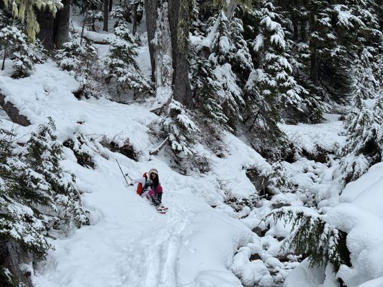
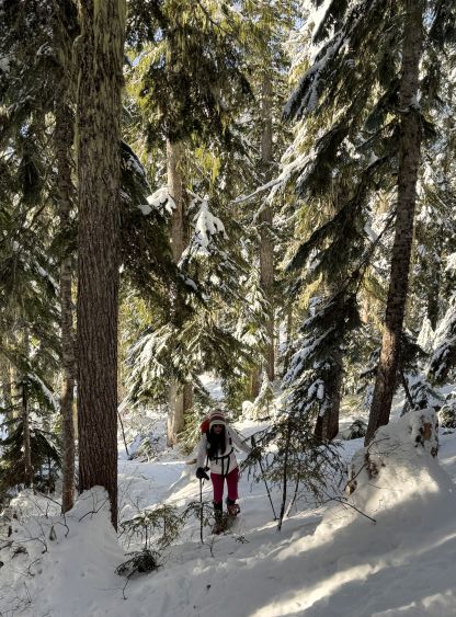
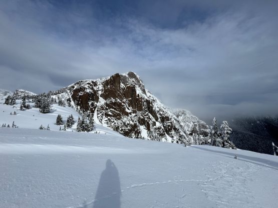
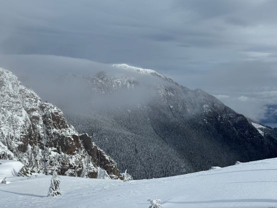
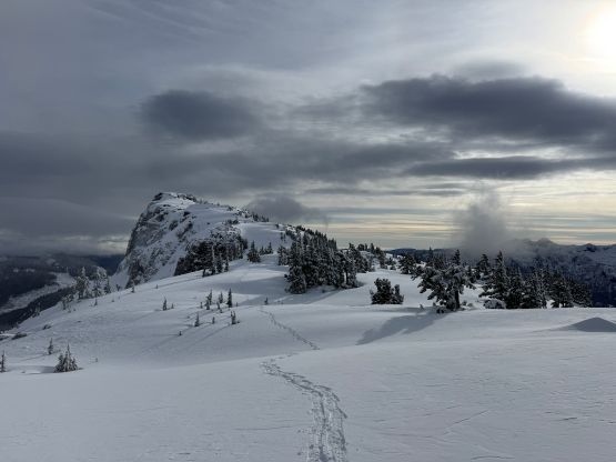
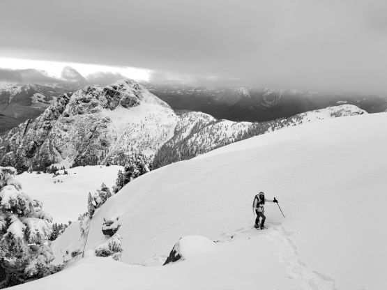
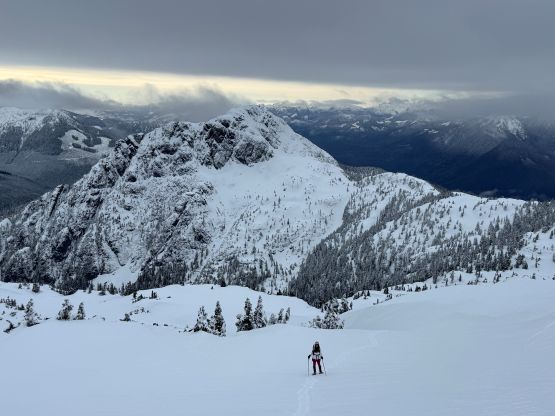
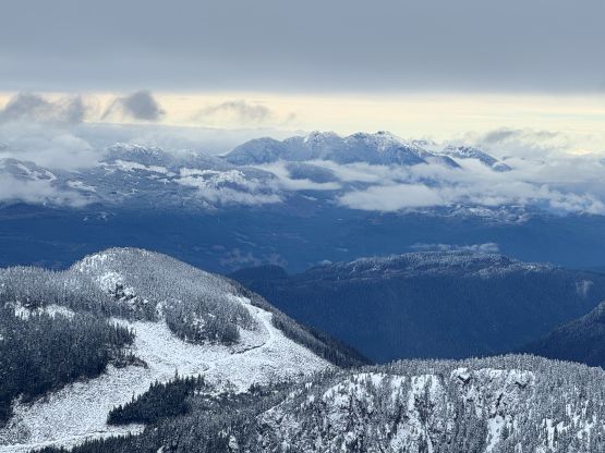
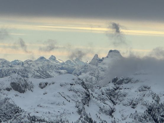
From the end of the road we followed Matt’s GPX track diving into the old growth forest. There’s one creek crossing that proved to be somewhat troublesome for Kate, that I had to give her a pole to grab/assist. The terrain then became quite steep. Matt suggested to take his descent route in order to avoid that “insanely steep bluff” but I thought veering climber’s right made the most sense. Indeed, my route though still very steep, worked out perfectly with nothing overly difficult even for Kate to follow. There was about 20 cm of fresh snow so the trail-breaking was a bit on the heavy side. Thankfully I had come prepared with the 30′ Lightning Ascents as I anticipated having to break trail for the entire way. I was definitely correct. Higher up we traversed across a scenic plateau onto Mt. Russell’s south ridge. The easiest attack would be traversing all the way to the west ridge but I didn’t think that was needed. There’s one slope to content with on the south ridge that would raise some avalanche concerns but not on this particular day. The slope angle was about 35 degrees and was right on the edge of the snowshoes’ capabilities. By this point the clouds had already rolled in so we quickly dashed up to the summit and didn’t linger for any longer than necessary.
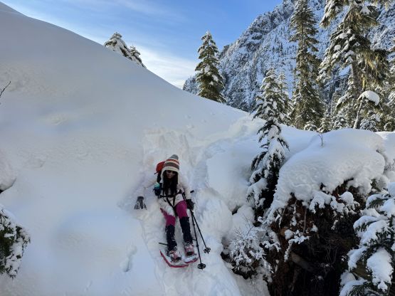
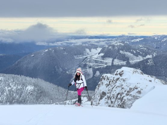
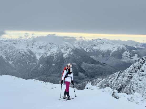
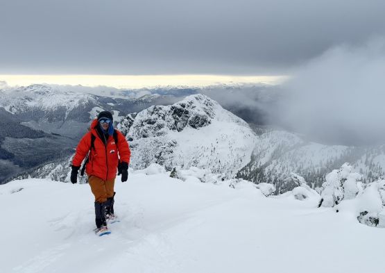
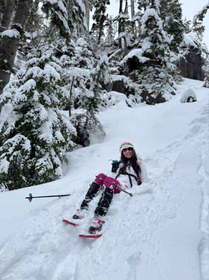
It was also quite cold (at least -15 degrees with the windchill) so we didn’t bother to waste much time up there. I ended up wearing the winter parka for almost the entire way down until much lower in the forest. Kate was struggling with the descent so I barely felt like doing much workout, but for once in a while I do appreciate a slower paced trip. Our round trip time was 5 hours 10 minutes. The drive out involved just as much pin-stripping as I remembered.. I was looking at the maps for a potential secondary objective. There were indeed several such as “Rooney Hill” but given the grey weather I didn’t end up being too keen. Instead, we drove all the way back to Campbell River and then booked the 5:45 pm ride back to Tsawwassen. I preferred the Tsawwassen ferry as both Kate and I live in Surrey and I absolutely disliked the Metro Vancouver traffic gong show had we gone for Horseshoe Bay, especially now given the full closure of Pattulo Bridge. I eventually got back home at 8:30 pm, surprisingly more tired than I anticipated.