Mount Steele
February 28, 2025
1659m
Sunshine Coast, BC
More than 6 years ago I paid my first visit to Tetrahedron Provincial Park and climbed the highest – Tetrahedron Peak right away on a late summer day. Mt. Steele is the easiest in the park but I wasn’t in a rush of bagging it. My plan was to wait for a gorgeous winter day as I wanted to get some different views and perspectives. The road to the trail-head was even maintained regularly in winter but ideally I wanted the snowline to be high enough so that I wouldn’t worry about the risks of wheeling on snow. Clair and I planned to get out together on this past Friday but it took me a while to find a suitable objective. The snowpack was currently problematic but the areas immediately next to the coast were not as bad. The warm temperature would likely have melted out the low elevation snow, so we could take advantage of the higher snowline again. I also wanted this trip to be memorable so the objective couldn’t be a “trash bag”. I then suddenly recalled that I still needed Mt. Steele on the Sunshine Coast. I could not find the first hand condition report for the access but for the worst case scenario we just had to walk a few extra kilometers.
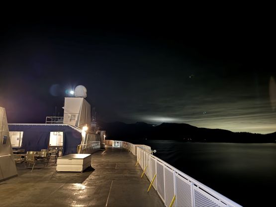
Doing this as a single day return would be pushy given the ferry constraint so I booked the 10:55 pm ride on Thursday night. This would be Clair’s first car camping experience but I had all the gears for the two of us. It was a bit of a rushing game for me to drive home from White Rock after work, swap vehicles, go to pick Clair up from UBC and then drive to Horseshoe Bay ferry terminal. We got there with 20 minutes of spare but the ferry turned out to be late by more than half an hour. This was shaping up to be a late night. We eventually got to the trail-head at 1:30 am. The FSRs were straightforward except for the last kilometer where I encountered some icy conditions, but imposed no problem to the Subaru. I promised Clair that we would take the day “chill”, so the plan was to get up rather naturally.
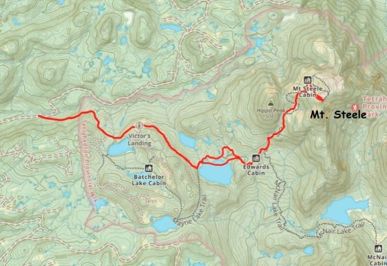
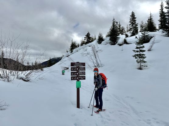
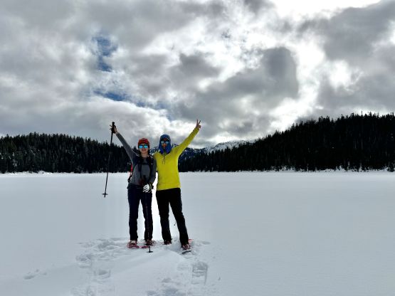
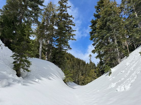
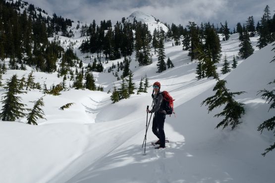
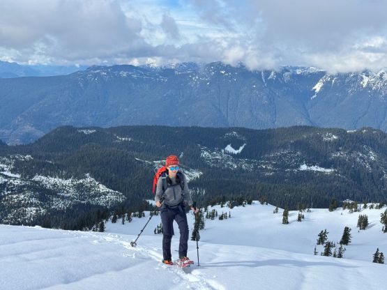
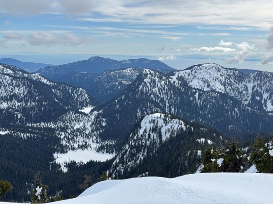
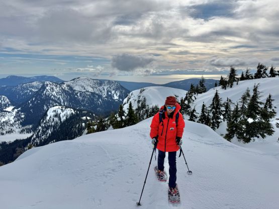
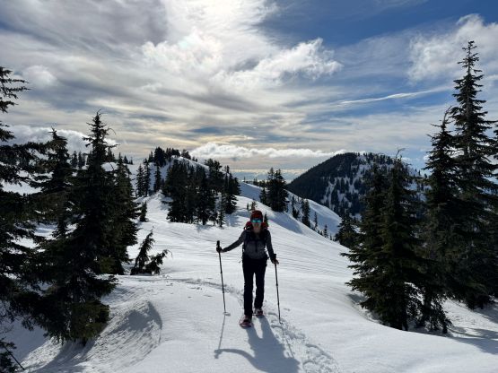
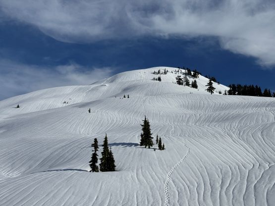
The next morning we got up at 8 am and started hiking more than an hour later. We could have made do with cold breakfast to be efficient but I brought my stove and thought it’d be more fun to cook our ramen breakfast. There were already 4 vehicles parked at the trail-head so I was anticipating a packed trail all the way to at least Edwards Cabin, but it wasn’t the case. I think most, if not all of the winter visitors go to the easiest Batchelor Cabin which was of no use for us. We had to strap the snowshoes on after passing the summer parking lot and beyond Victor’s Landing we only had skier’s tracks to follow. The warm condition made the snow rather unsupportive so I basically had to break trail from here onward, for the rest of the day all the way to the summit of Mt. Steele. The old FSR was also quite slanted making some annoying traversing on snowshoes. Edwards Lake appeared frozen enough to walk across but we decided to follow the marked route around on the north side. The trail was still reasonably easy to follow but again, we had to do some trail-breaking. The route to Edwards Cabin was quite contrived with lots of micro terrain and the distance was longer than I thought. We then took the first long break of the day in that Edwards Cabin.
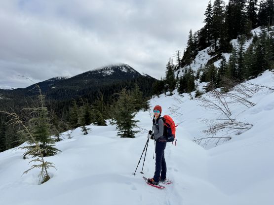
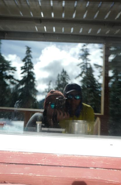
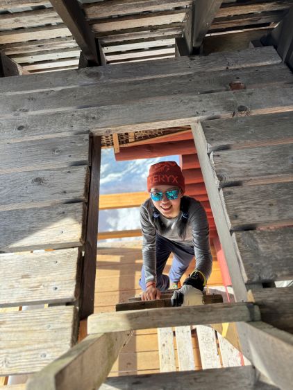
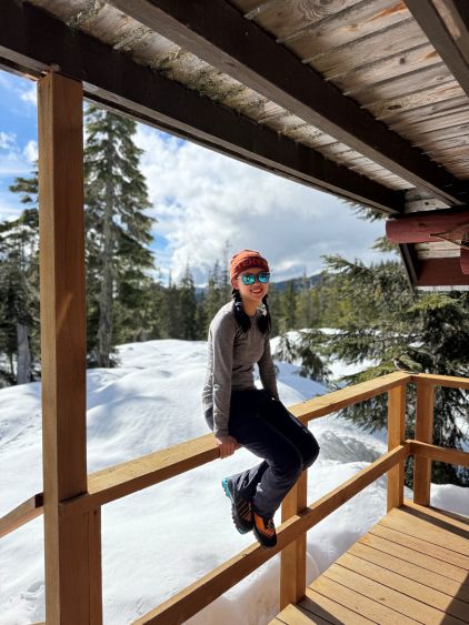
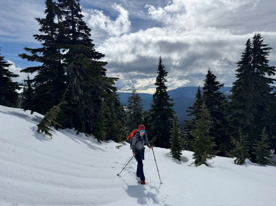
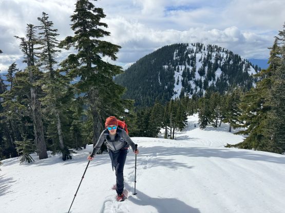
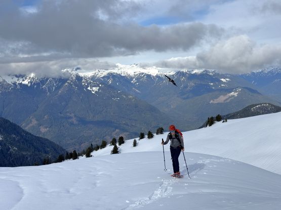
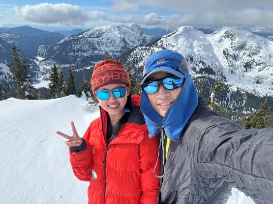
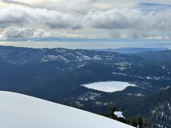
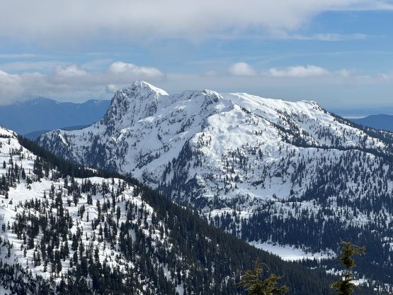
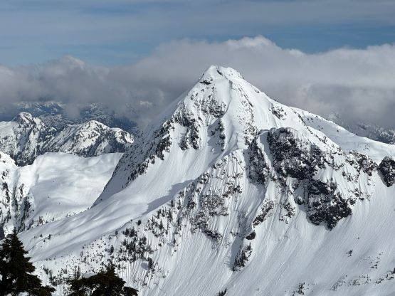
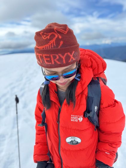
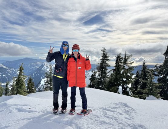
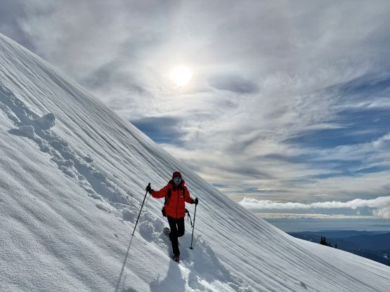
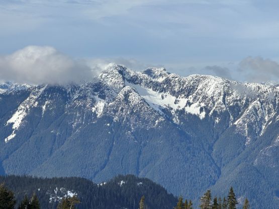
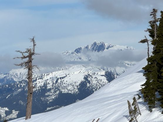
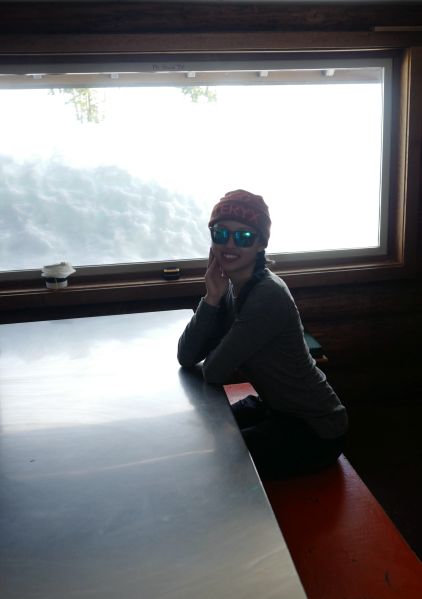
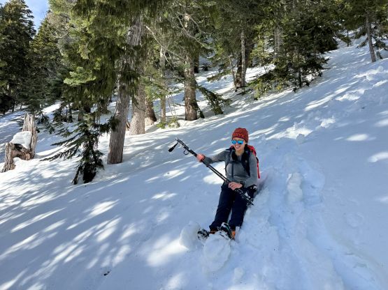
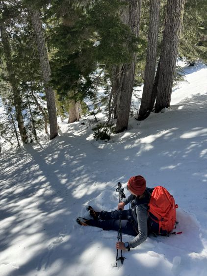
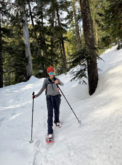
Clair had lots of ideas for creative photography so we played around that cabin for quite a while. I had been carrying her expensive camera so we might as well make use of that. The heavy duty trail-breaking started after we left Edwards Cabin as there was absolutely no previous sign of a “track” to follow. The trail markers were nevertheless easy to follow but we ended up making our own route after crossing that steel bridge. A lot of the times it’s simpler to go straight up the slope in winter rather than trying to stick to the summer trail which was basically non-existing in the current conditions. Higher up we made a steep ascent onto the NE flanks of Mt. Steele and then made a direct dash up the NE Face to the summit. The simplest route goes up the gulch between Mt. Steele and “Raven Dance Peak” but I thought it was more fun to take the direct attack. The avalanche condition was currently “Low/Low/Low” for the region so why not. The best view from the summit was towards Tetrahedron Peak. I spotted a nice winter line on that objective but too bad I had already done it in summer many years ago. Clair and I lingered on the summit for quite a while as we even caught some sporadic cell reception to make some planning for the next trip, which would be two days later.
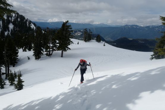
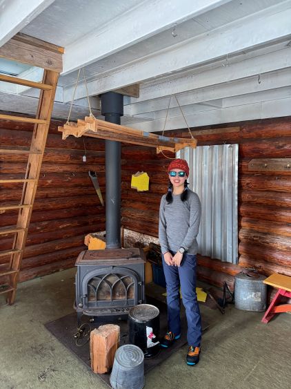
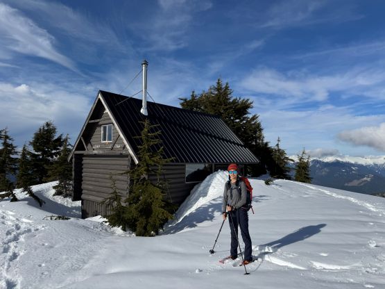
On the way down we made a detour to check out Mt. Steele Cabin. Clair’s member of VOC and that cabin belongs to the club so there’s something special about it. We then checked the time and decided to rush the return to try to catch the 6:40 pm ferry back to the mainland instead of the reserved 8:55 pm ride. This meant I would have to skip “Hippo Peak” but I had no problem with that, as that name was very unofficial. “Hippo Peak” does boast over 100 m prominence but I don’t feel obligated to bag every single unofficially named P100m bump in SW BC anyway. The snow condition was very mushy making for some slow and tedious progress but we nevertheless made good time down to Edwards Cabin. We encountered one pair of hikers/backpackers with one without snowshoes. This dude had been making some hip deep post-holes all the way from the very beginning so I must give him “thumb up” for the perseverance even though he had basically destroyed the snowshoe tracks. There was a helicopter working on the cabin but it left minutes before we got down to the cabin, and then we made a decision to cut the route short but plodding across the frozen Edwards Lake. The rest of the return was quite fast and I was surprised that Clair was able to actually keep up with the pace, as my GPS recorded averagely over 5 km/h and that was mostly on flat terrain on snowshoes.
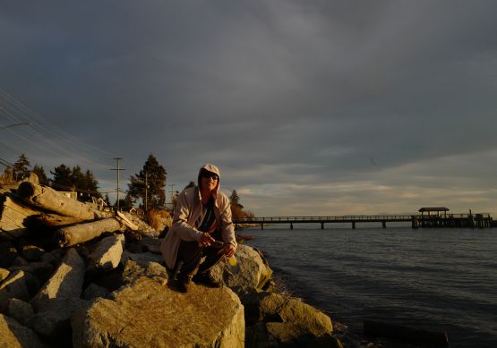
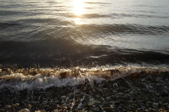
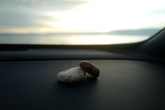
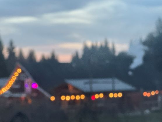
Without doing much lingering I immediately turned on the engine and drove us out of the FSRs, but then we realized that we had at least 40 minutes of time to spare to catch that 6:40 pm ride. I did not anticipate the ferry to be full, so we made a spontaneous decision to check out a random beach. Clair again, showed me her talent on photography. We then dashed back to the ferry terminal while listening to Taylor Swift and eventually got back to Vancouver by 8 pm. It made perfect sense to then go to Richmond for a proper dinner before going home.