Exodus Peak
June 15, 2025
2435m
Squamish Valley, BC
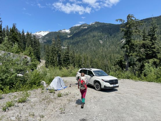
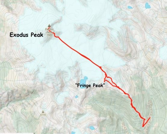
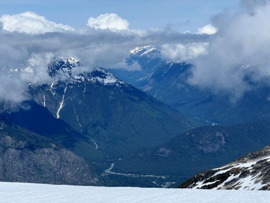
Exodus Peak, one of the major summits on Pemberton Icefield was used to be approached from the west via spur roads off the Elaho Main but there hadn’t been any update in the recent era. A few years ago a “new” access from Carnival Creek to the SE had been published on Facebook. I wanted to take advantage of those roads when they are still in drivable shape. I did my own optimization by drawing a route directly over “Fringe Peak” as I thought this could avoid the nasty bushwhacking that Phil etc. had encountered at the very beginning, but that stayed only in theory. In any case Elise, Miranda and I made the decision to check out the area via my proposed route. I finished work at around 7 pm and the three of us made to Squamish Valley about 2 hours later. The Squamish River FSR was in a terrible shape with a shit ton amount of pot-holes so the driving was slow and tedious. The road conditions actually became better after passing the Elaho Main turn-off. The Carnival Creek FSR was not too bad and the “impasse” that parties had encountered over the past several years had even been fixed. We were able to push the Subaru to literally the drivable end at 950 m elevation and there’s plenty space to turn around, park and set up the tent for car-camping.
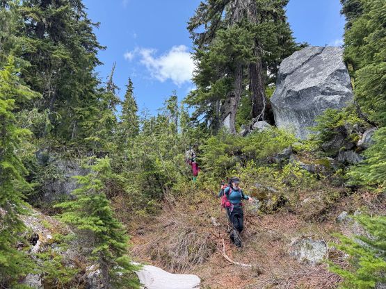
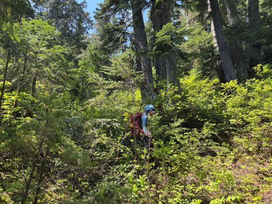
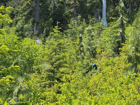
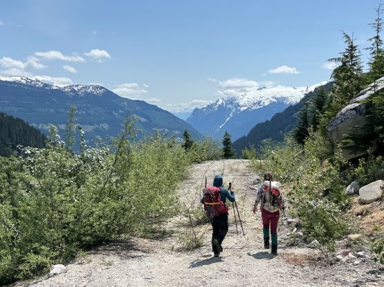
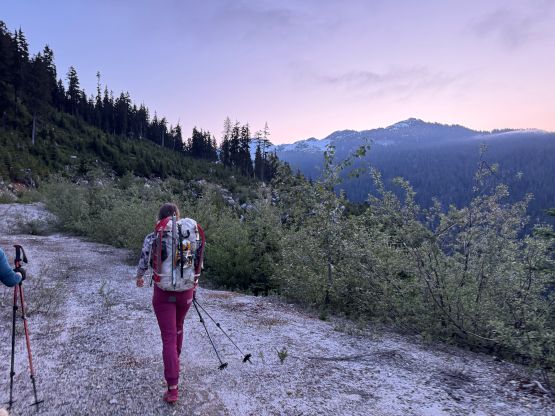
The next morning we all got up at 4 am in order to start walking by 4:30 am. There was already no need to use the head-lamps. It was definitely the right decision to park the Subaru at 950 m elevation because the road beyond that turn-off was completely not drivable even in an ATV. The road was still in a walkable shape. At around 1100 m we dived into the bushes and right off the bat the thrashing was level 3/4 and the bushes were wet. I thought we simply picked the bad line in the cut-block but I honestly don’t think there’s any better way. The situation only improved slightly after entering the forest so the first hour of the trip was downright miserable. There were thankfully, no prickly type of plants. I also had to deal with a lot of route-finding with the micro-terrain and bluffs but I generally managed to pick a reasonable path for us. At around 1450 m elevation we started to encounter patchy snow. The snow definitely helped in reducing the intensity of the bushwhacking but the condition was quite icy given the deep overnight freeze we had the night before, so the trail-runners were quickly swapped for the mountaineering boots. Elise and I had opted to wear the runners as we anticipated a mostly trouble-free plod in the open forest. The forest turned out to be anything but open. The trail-runners had to be carried all the way into the alpine as there wasn’t any obvious spot to ditch them.
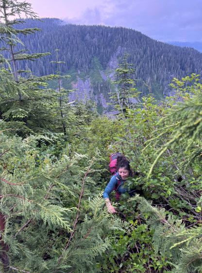
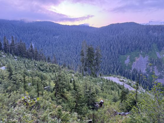
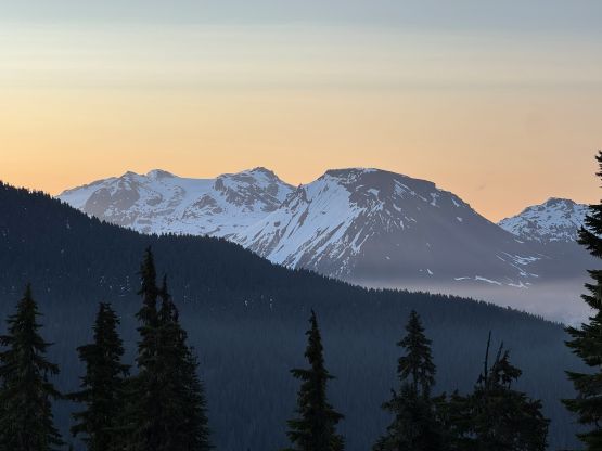
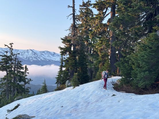
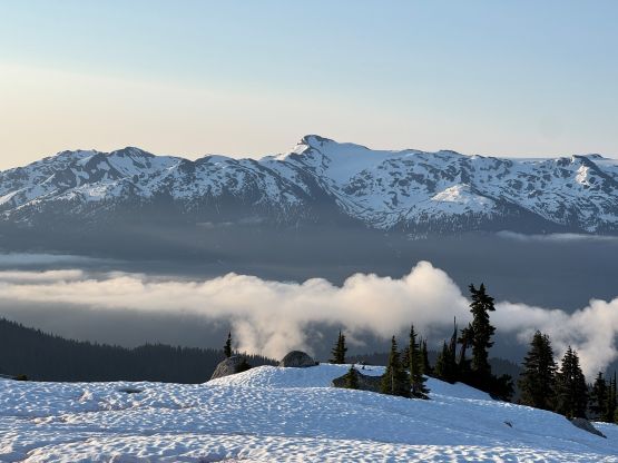
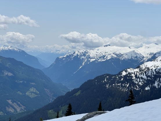
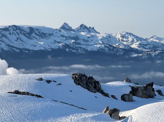
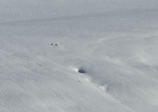
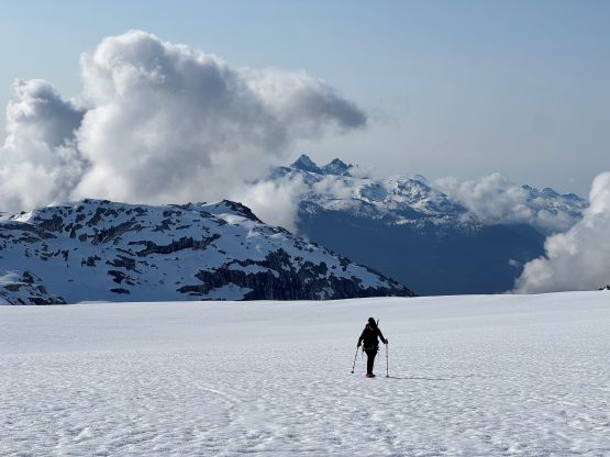
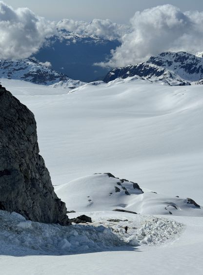
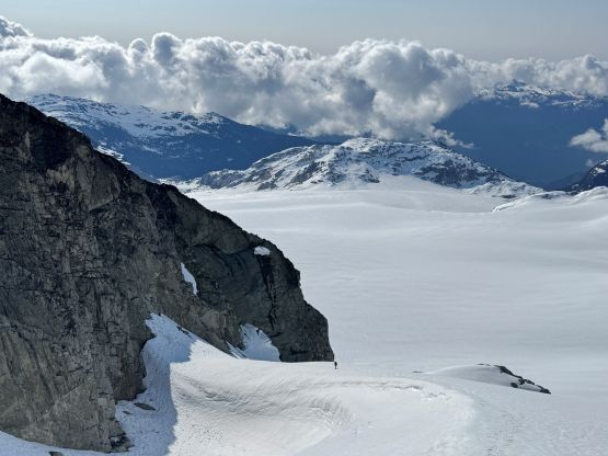
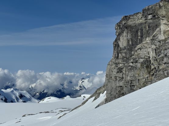
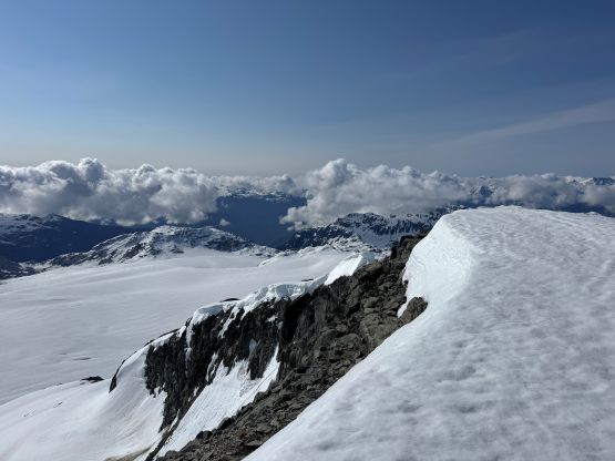
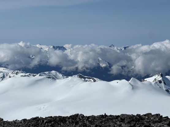
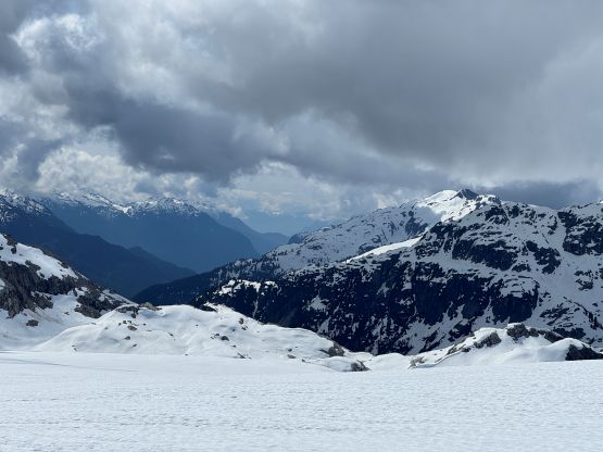
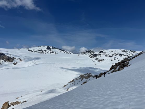
Traversing towards “Fringe Peak” was also not that straightforward as we encountered lots of micro-terrain. We generally managed to traverse around those bumps using gulch features but up-and-downs were still unavoidable. On the way in we stayed closer to the ridgeline as the decision was to get to Exodus Peak as quickly as possible. The summit of “Fringe Peak” could be tagged on the return. The descent from “Fringe Peak” to the edge of the Pemberton Icefield involved ~100 m elevation loss and the condition was icy enough that made us donning crampons. We brought crampons only because of contingency purposes but in this particular trip the contingency gear had become critical. The slope was also quite steep getting down to the icefield, that using the snowshoes as “crampons” could not be sufficient. The coolest sighting was actually two bear-like creatures descending the icefield. We unfortunately couldn’t tell what are those as the iPhone’s zooming was simply not good enough.
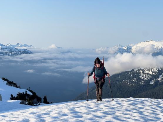

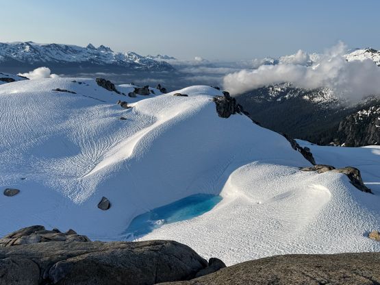
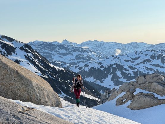
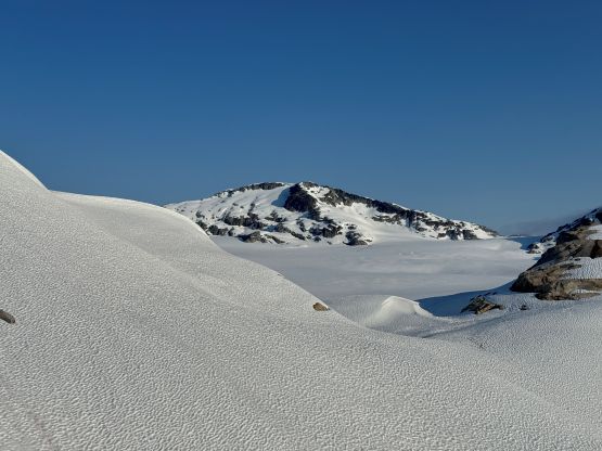
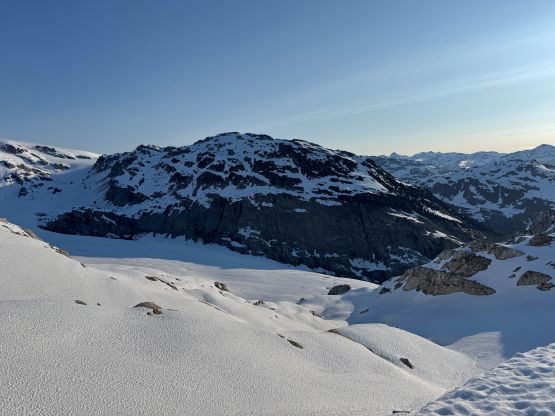
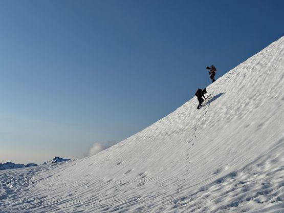
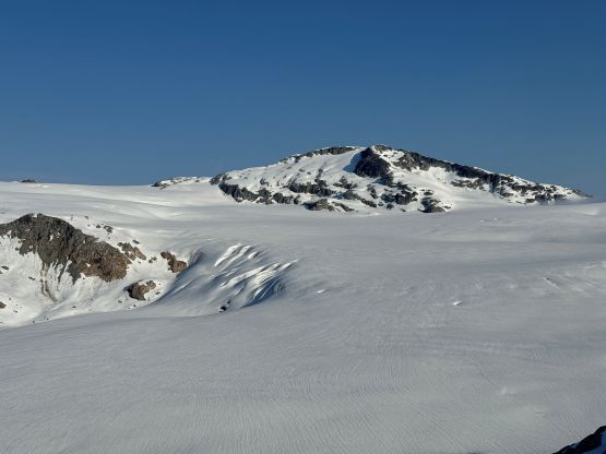
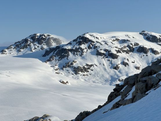
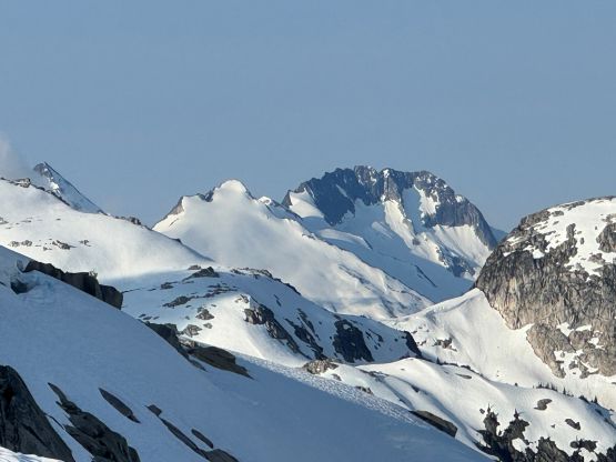
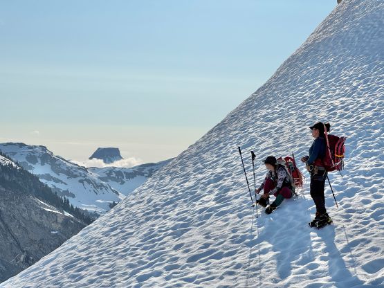
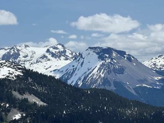
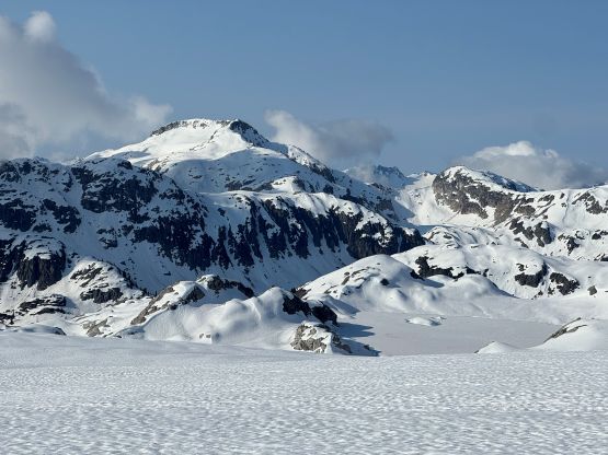
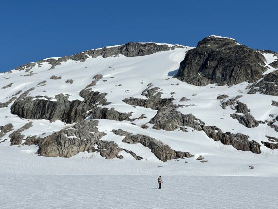
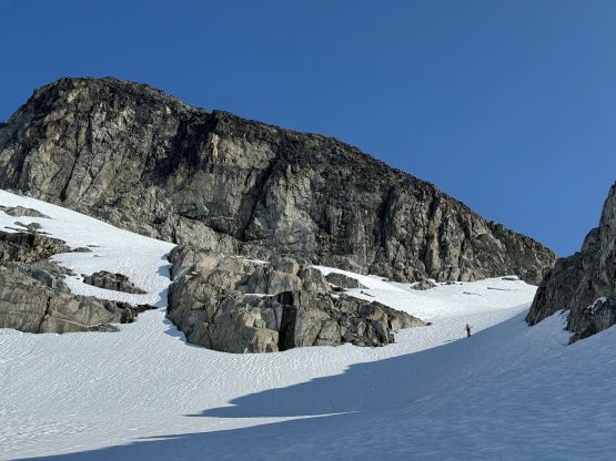
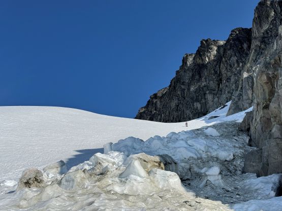
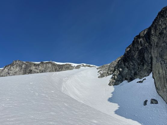
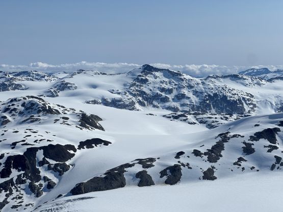
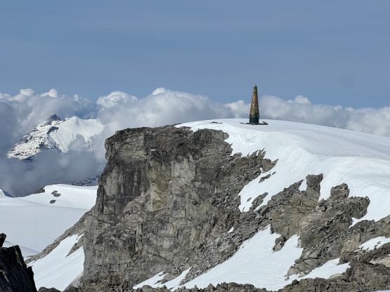
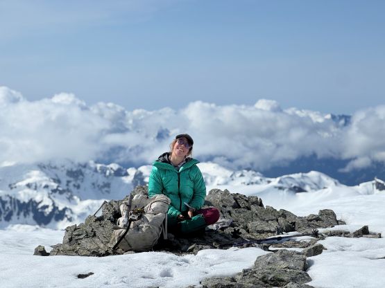
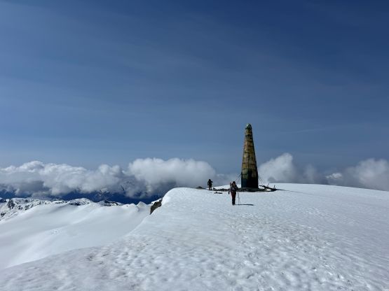
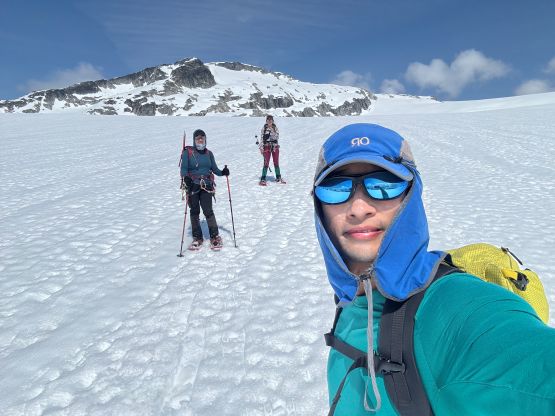
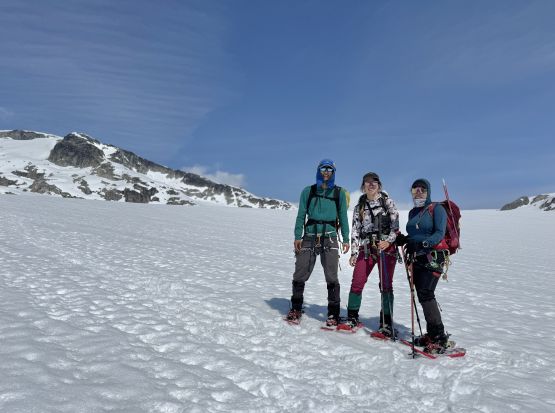
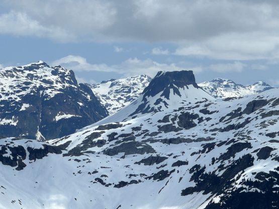
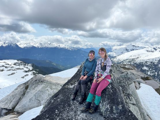
We all donned harness and had brought a rope for the glacier travel but the decision was made to not use the rope given the deep overnight freeze. I did make us donning snowshoes for various reasons. The glacier crossing was extremely long and monotonous, but was quite simple. We did encounter countless amount of cracks but there wasn’t any open crevasse to work our way around. Elise was leading the way and thought we should aim for a direct route up the SE Face of Exodus Peak. Initially I was rejecting the idea but upon closer examination I agreed. This experimental route could save at least 2 km of the distance so why not. Elise led the way picking the route around various ramps and ridges, that we even managed to keep the snowshoes on all the way to the summit. The steepest slope was around 35 degrees and was right underneath the obvious wind scoop on the upper route. There are two summits of similar height. I checked out the NE summit first before settling on the SW summit (with the green dildo) for an hour-long stay. I had brought the stove and fuel canister so we all got some water resupply.
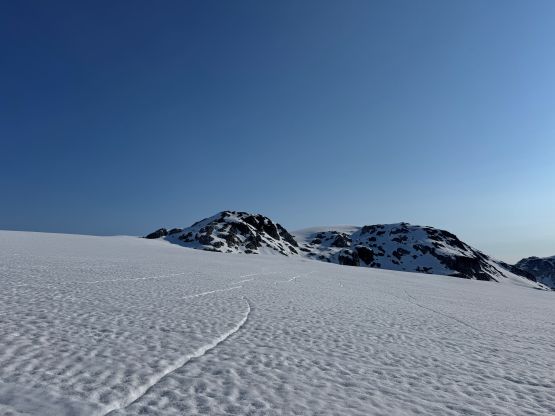
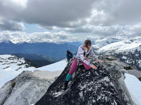
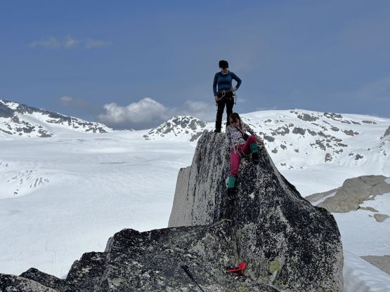
The climb of the SE Face involved over 450 m elevation gain so the descent was also a long one. We had opted to carry the snowshoes given the steep grades, and the snow had softened enough that we all managed to boot-pack/run down the face. The snowshoes were strapped on again for the long slog back across the icefield and also for the steep re-ascent of “Fringe Peak”. None of us was looking forward to actually tag the highest point of “Fringe Peak” but we were too close to give it a pass. I eventually led us across the undulating north ridge. The true summit was actually a monolith and the scrambling involved a few fun 3rd/4th class moves.
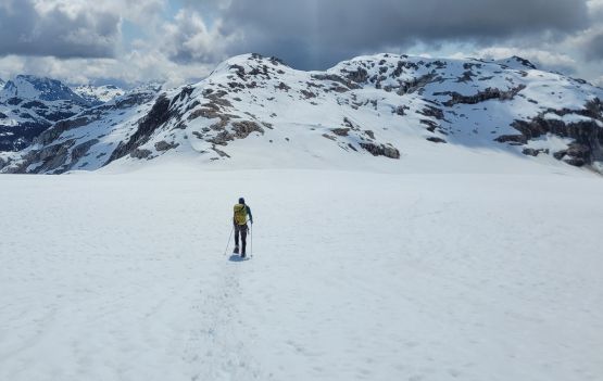
Eventually it was the time to start descending. I initially thought to just walk back across the north ridge but discovered a few deep holes, so strapped the snowshoes on. As soon as the real descending began I took the snowshoes off and enjoyed some fast plunging. We picked a line different than the one we took on the ascent, but tried hard to avoid unnecessary elevation loss/regain. There were some steep side-hilling involved. Eventually we merged back to our own foot prints and followed them down into the forest. The final few hundred meters in the forest involved a great deal of GPS navigation as the micro-terrain was confusing and the bushwhacking was intense. Eventually we hit the road. I spent a few minutes swapping the waterlogged boots to the trail runners, and then jogged down to the vehicle. Our round trip time was 9 hours 15 minutes and that includes the hour-long summit stay, so this wasn’t that enormous day that I was originally anticipating. I’m not sure if the bushwhacking we did was better or worse than Phil’s route but we at least drew a line straight from the road to the summit and back, and I thought that was quite cool. Elise and I took turn driving home that we even got back in time for dinner.