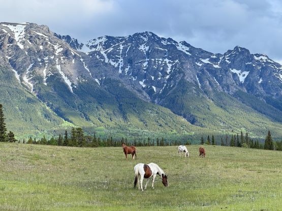
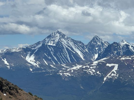
Klokon Peak and Mount Nemaia
June 22, 2024
2666m
Nemaia Valley / Chilcotins, BC
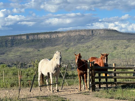
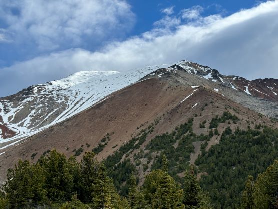
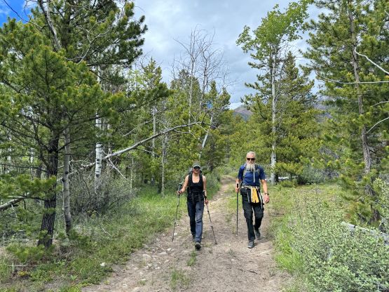
“Klokon Peak” is the unofficial name of the highest peak of a large area south of Tsuniah Lake and north of Nemaia Valley and boasts over 1400 m prominence. This peak is a few kilometers NW of the officially-named Mt. Nemaia and both objectives can be combined to make a day-trip outing from Nemaia Valley. Chris Gulka (RIP) and Seb Gulka had climbed them over 2 days in November 2023 and Seb assured me that a single day would be more than sufficient enough. Erica, Dave, Adam and myself snagged these peaks together with Mt. Tatlow to make a bigger outing because the drive to Nemaia Valley or the central Chilcotins takes basically a day each way from Vancouver. In the previous day we descended from Mt. Tatlow’s high camp and spent most of the day relaxing at the shore of Chilco Lake. This was a truly amazing place that we sure would be back at some point. The next morning we woke up at 4 am and parked at the Gulkas’ starting point an hour and half later. The driving was not the fastest but reasonably okay. Adam unfortunately did not feel well so it was only the three of us that started the ascent.


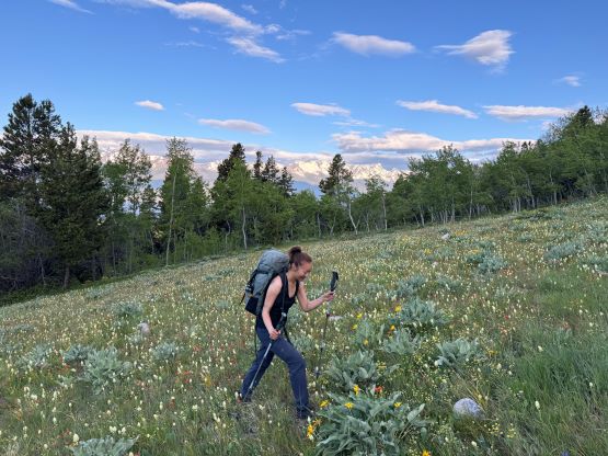
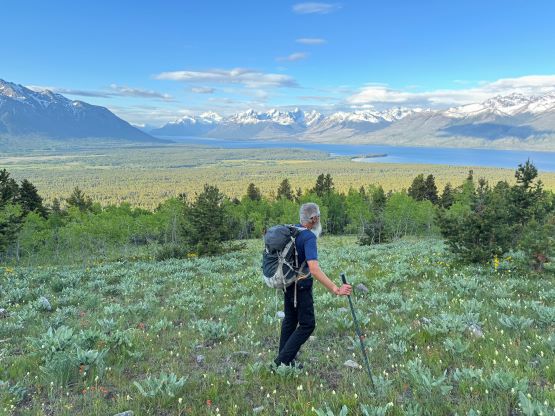
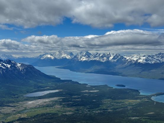
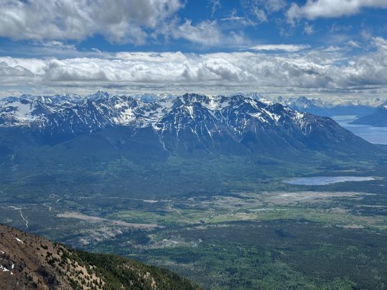
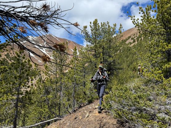
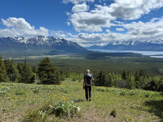
As usual since the Gulkas had done their work all we needed was to follow the GPX track but I wasn’t sure if this was the smart idea or not. The forest was mostly open with only occasional deadfalls but in about half an hour we came across a well-maintained road. Judging by the GPX track the previous party also followed this road for a while and I wondered if we could actually have driven up this road. Seb did not mention anything about it though. In any case we decided to figure that out on the descent, but elsewise we followed the road to near the end. The satellite images indicated a house or some sort of property so we left the road well before that. The flowers were blooming and the views of Chilco Lake behind kept getting better and better. Our stoke level was high as we slowly grunted up the south facing open slope to the 2040-m bump. We could have bypassed this bump by side-hilling on the east slopes but opted for simplicity in route-finding. The 30-m elevation loss wouldn’t be problematic for us anyway.


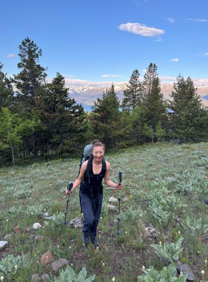


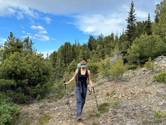
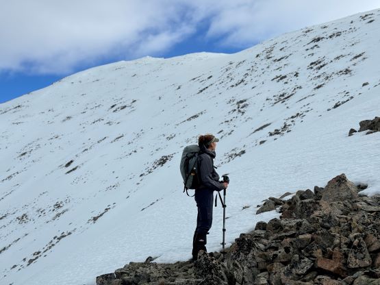
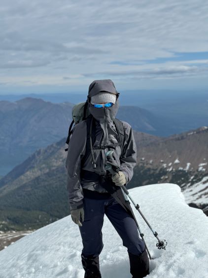
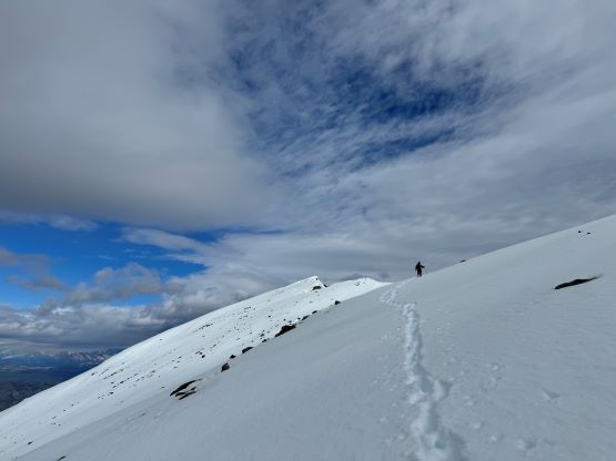
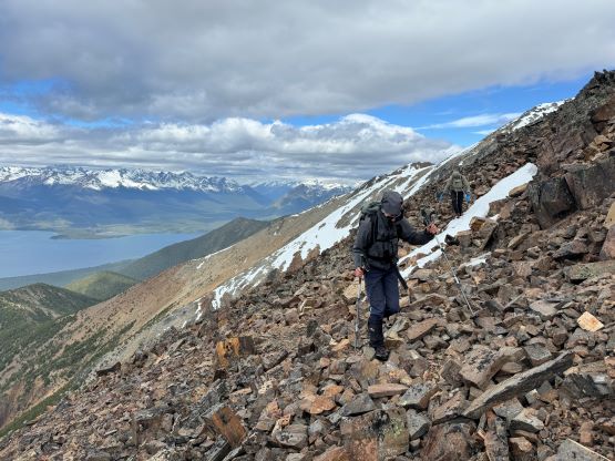
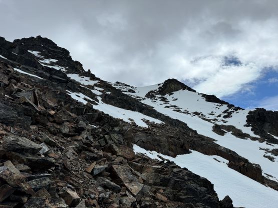
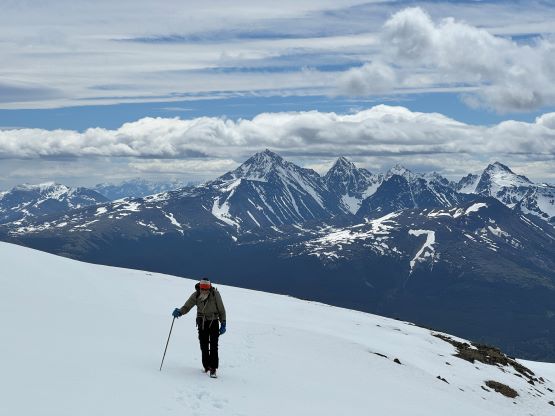
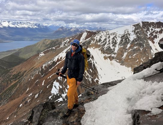
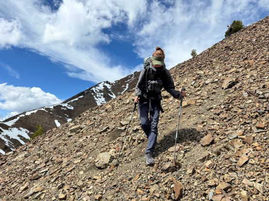
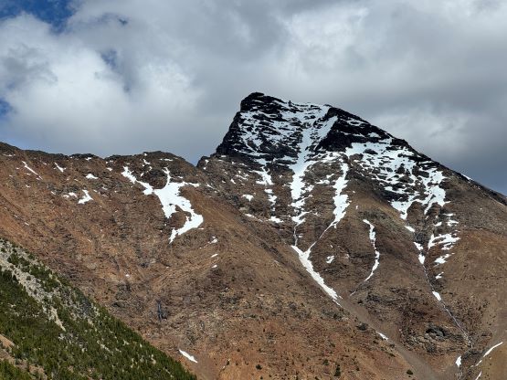
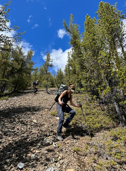
After an energy break we resumed the ascent, losing that aforementioned 30 m elevation. There was some bushes on the ridge crest but either side offered open slopes for faster travel. We quickly made our way to the treeline on the south ridge of “Klokon Peak” and eventually ditched the trail-runners for mountaineering boots after the terrain became loose and crappy. This was more or less the spot where the Gulkas camped. We needed to take another break to don some layers anyway. The ascent of “Klokon Peak” was easy technically but required a lot of effort. The upper slope was still covered in snow and the snowpack was completely isothermal with no strength whatsoever. The post-holing was averagely knee deep and we also constantly discovered waist deep weak spots. The true summit was also on the very far end of the ridge and the traverse just kept dragging on forever. The windy and cold weather did not help and neither the fact that I had forgotten to bring gaiters. My boots were waterlogged within 20 minutes and it took us a long while to eventually stand on the highest ground. I was not properly dressed for the conditions but was able to make do.

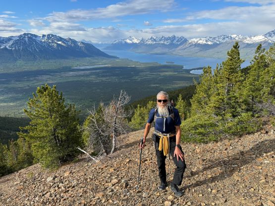


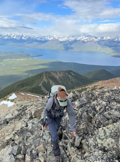


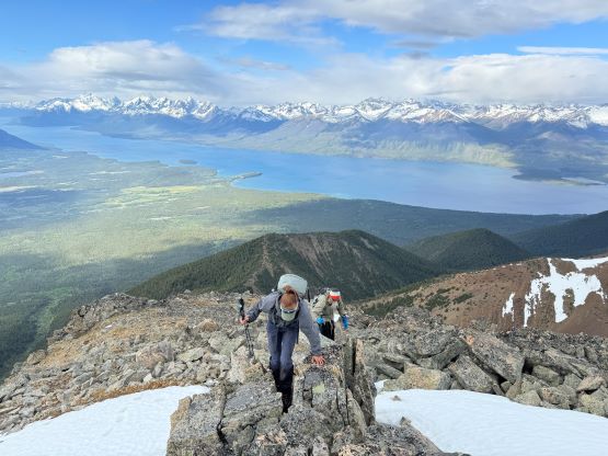


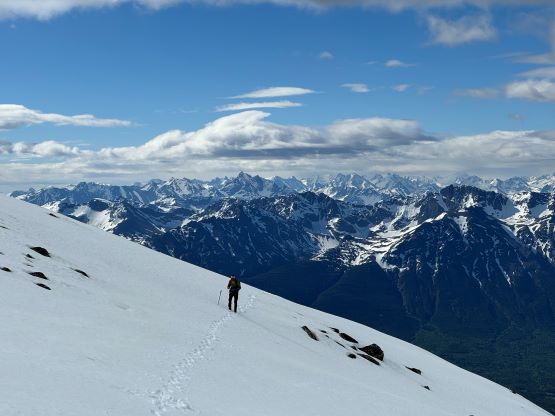


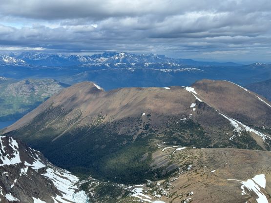
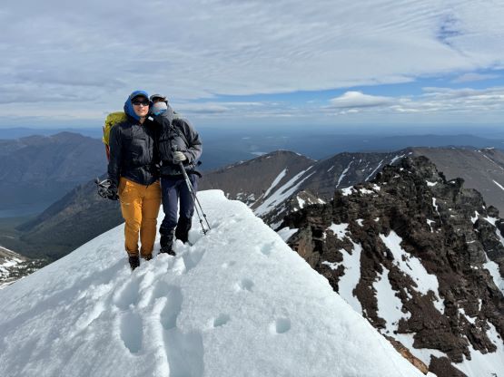
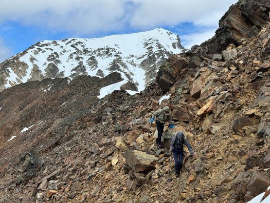
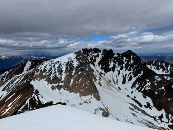
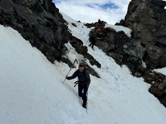
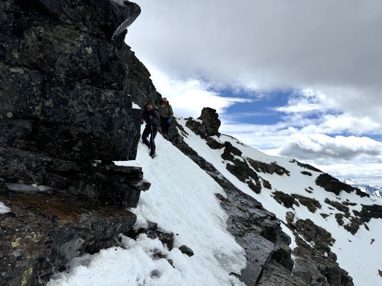
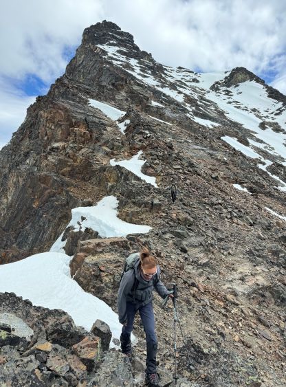
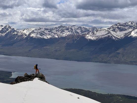
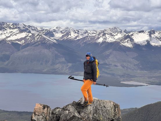
The descent was just as awful and we all suffered a lot. At one point I opted to take a long glissade but Erica and Dave disliked that. They both fell into some holes and it took them a while to get out. I thought about to skip Mt. Nemaia actually but everyone else was still keen, so I could embrace the misery for a few more hours. I was mostly worrying about getting frostbites on my toes but the terrain on Mt. Nemaia was less snowy than on “Klokon Peak”, and the weather was actually improving. For the route we mostly followed the GPX track but did our own route-finding in the micro-terrain. There was lots of scrambling required on the connecting ridge, and the ascent itself was worse. We could not stick on the west ridge and were forced to traverse onto the SW Face and the terrain was down-sloping and wet ledges mixed with choss and isothermal snow. I was able to pick a suitable line but the route-finding was not straightforward. The harder section was near the top where we had to make some 3rd class moves and traverse some exposed and unsupported snow-covered ledges. Eventually I found a break and then led a long rightwards traverse, ascended a steep gully and post-holed our way to the highest point. There was surprisingly a gigantic cairn but I assumed most of the locals came up from the east side. The west side route was the only viable way to link up the two peaks though.


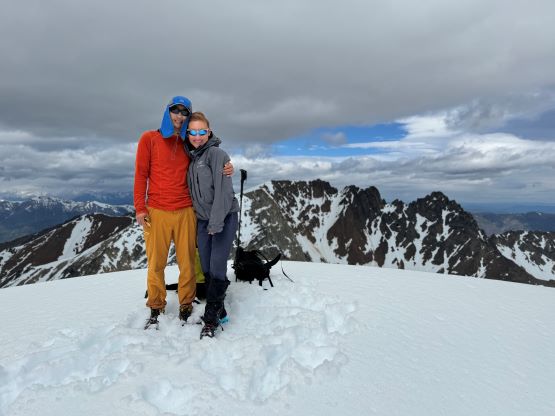

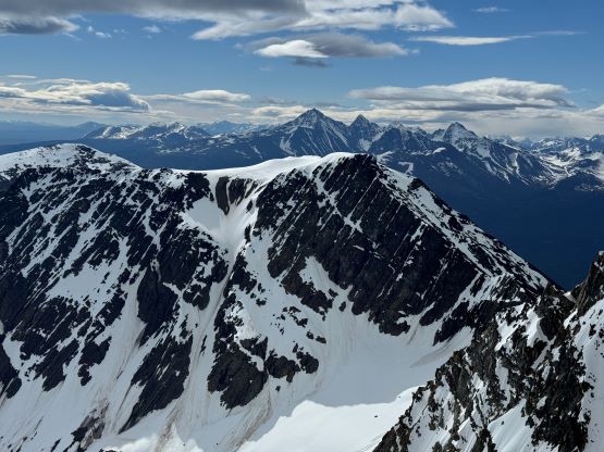
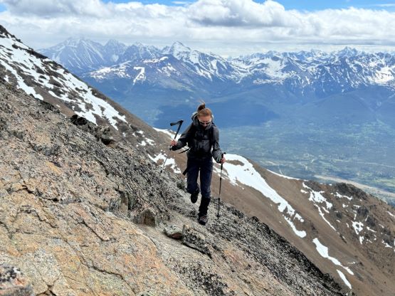
The wind did us a huge favour and we had a surprisingly calm and decently warm 10 minutes on the summit, so we took our time having some snacks. I then led us down-climbing the upper route following our exact footprints but then Dave led us descending more on the SW Face side staying more on snow. This worked out well and sped things up overall. Eventually we traversed back to the connecting ridge and reversed the traverse back to the SE shoulder of “Klokon Peak”. The rest of the descent was mostly uneventful and we all greatly appreciated taking the waterlogged boots off for the dry trail runners. That was probably the happiest moment of this outing. I unfortunately discovered a tick crawling on my pants while sitting around to swap footwear, so it was still the tick season. Erica finally started to feel the blisters from Dirtyface Peak trip a few days earlier, so we did the rest of the descent at a leisure pace. There was lots of dusts and the ground was very dry. I had to regularly take the shoes off to dump the scree and needles. Once joining the road we decided to follow it out and it turned out to be mostly paralleling Gulkas’ GPX track, so future parties could drive up this road for a shorter day. Our round trip time was exactly 10 hours.


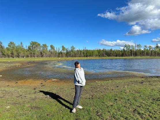
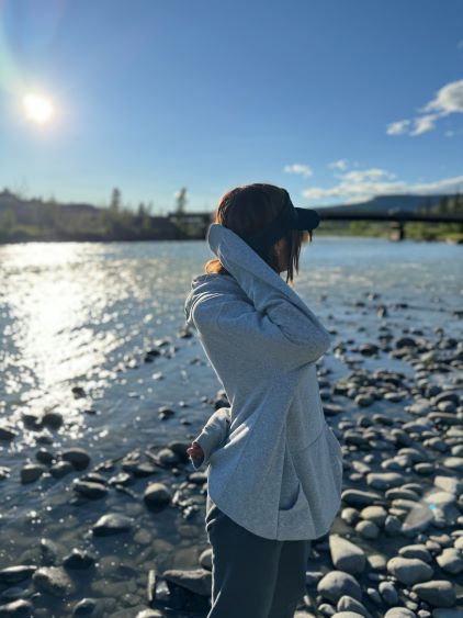
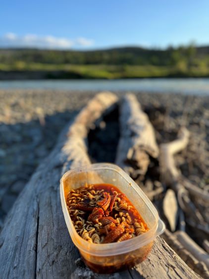
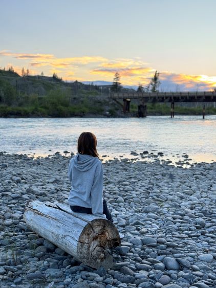
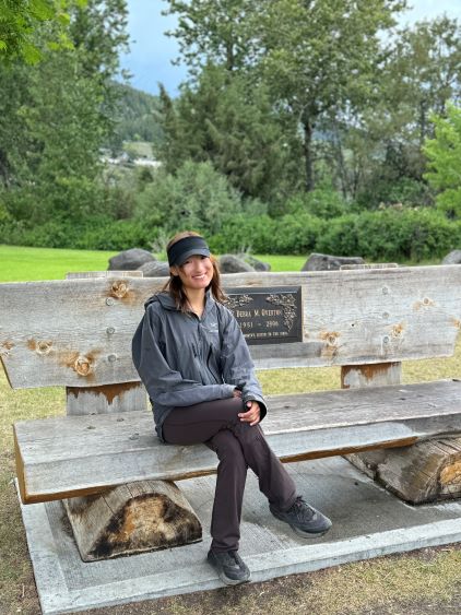
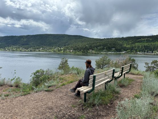
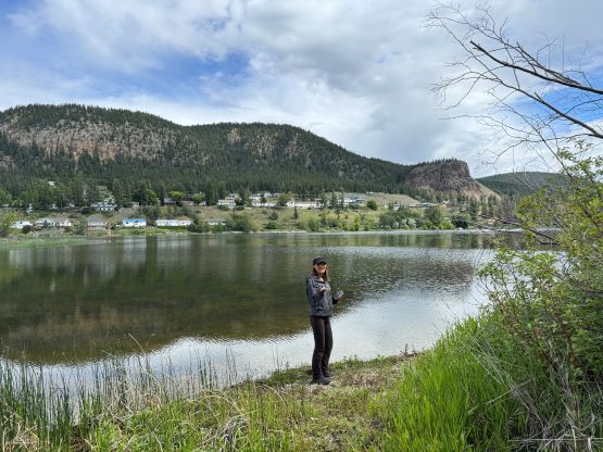
We got back to the vehicles minutes before it started to drizzle but the rain never became too heavy to bother us. Adam and Dave quickly moved on because they had more peak-bagging plans whereas Erica and I took our time. We decided to drive out slowly while soaking in the experience and our plan was to spend another night in the backcountry without cell reception. I did not have an exact plan as to where we should go camping, but we eventually figured that out in situ. We weren’t sure if camping was allowed at Davidson Bridge recreation site so we kept driving all the way to the crossing of Chilcotin River at the start of Taseko Lake Road. This spot was not as quiet as the Davidson Bridge but was just as good, so we spent the rest of the day relaxing, setting up the tent and cooking. Life doesn’t often get better than this. On the 5th day we drove back into civilization and actually did a short hike in Williams Lake, and then drove all the way back home, arriving in Vancouver at 7 pm.