Mount Tod
May 5, 2024
2155m
Kamloops, BC
Mt. Tod is the highest peak above Sun Peaks ski resort and is generally considered as the easiest “ultra-prominent peak” in the entire British Columbia. In winter (on skis) or summer one can take the lift to almost the south summit and from there, the main peak can be done in a mere hour round trip. Nobody believed that I had done 28 ultras in Canada but not Mt. Tod. I wasn’t in a hurry as I knew I could do it at any time I wanted, but eventually I opted to use this objective as a gateway to escape the dreary weather near the coast. The timing was unfortunately (or fortunately) in the “shoulder season” in May so the chairlifts weren’t open. This meant I would have to earn the entire elevation from the resort but on the other hand, I also didn’t want this to be too easy. Kate decided to join me for another long drive to the Okanagan and we managed to leave White Rock at 8 pm, slightly earlier than the previous weekend. I drove us all the way to Kamloops and Kate took over the drive towards Sun Peaks and we got there at around 1 am. The entire village seemed deserted so we just parked in the middle of the gigantic lot in front of a school and slept in our vehicle.
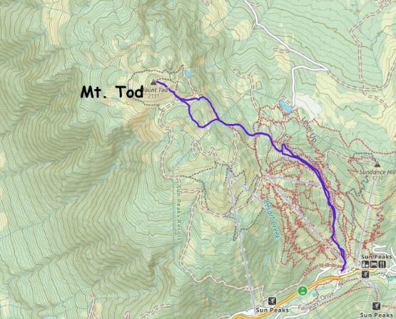
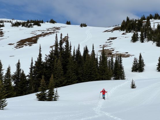
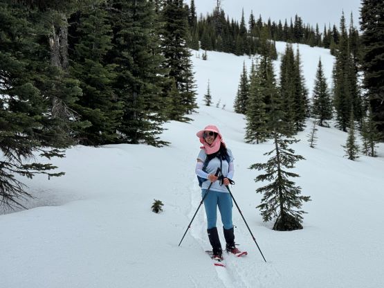
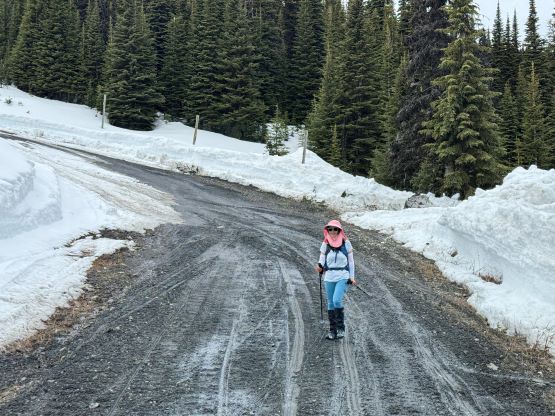
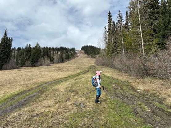
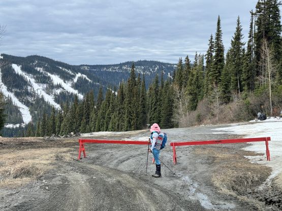
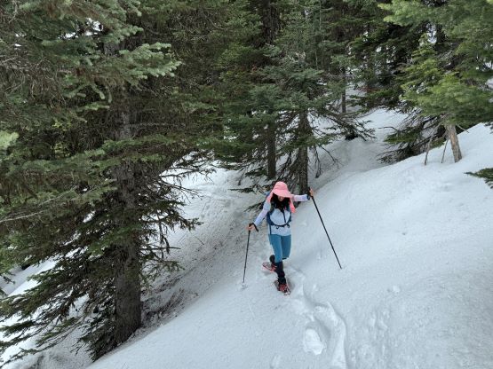
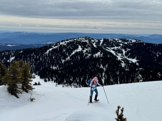
I was exhausted from work and desperately needed some sleep so I didn’t even bother to set up the alarms. We ended up waking up at around 7 am and started about an hour later. The weather was overcast as forecasted, but the clouds were high and thin enough that we would be able to get some views. I led us walking climber’s right from the parking lot and used a muddy ATV track to access one of the primary roads on the hills, and joined that road about 150 vertical meters higher up. This road had been plowed even though the resort was not in operation, so we followed this road all the way to 1950 m under the south summit. The road actually goes further up but our intended bearing was towards the south/main summit saddle so I made the call for us to don snowshoes and leave the road.
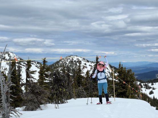
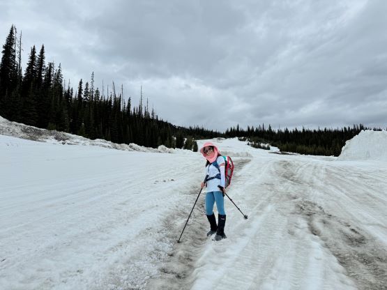
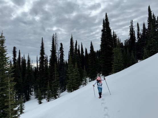
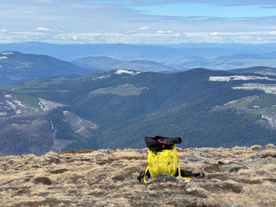
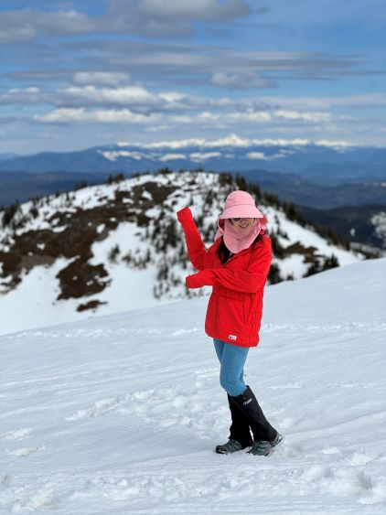
I stubbornly tried to avoid unnecessary elevation loss and regain so we did a kilometer-long side-hill traverse around the NE side of the south peak. There were still some up-and-downs due to the micro-terrain and the traverse involved some pretty steep sections that were not trivial on snowshoes. The terrain near the saddle was also disorienting that I ended up having to consult with the GPS multiple times to make sure our bearing was correct. There are again, a few ways to attack the main peak and I opted to take the south side route as it’s more open and scenic. We simply plodded across the flats in the saddle and then grunted straight up the SE slopes to the summit. The peak was more scenic than I was expecting and there’s strong cell reception so we lingered on the summit for quite a while.
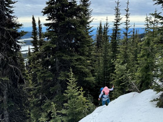

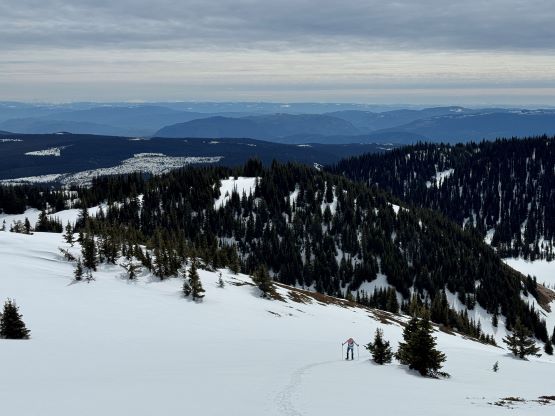

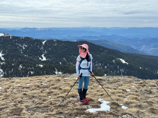
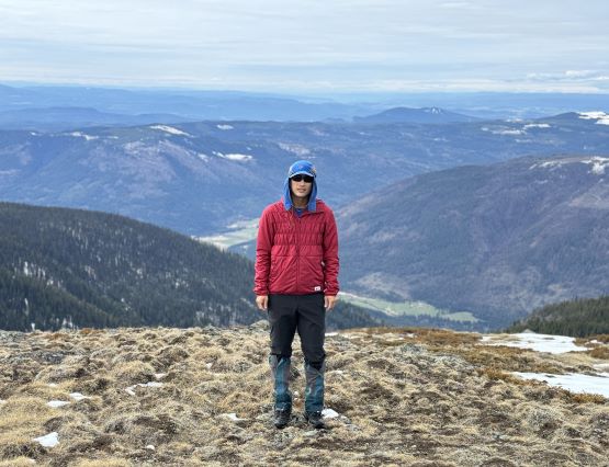
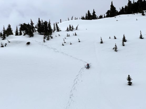
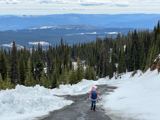
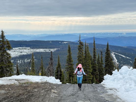
The south summit boasts over 100 m prominence and is included in the Peakbagger app so we absolutely had to bag it as well. Kate probably didn’t know why I went upwards again leaving our own snowshoe tracks but she got a bonus peak afterwards. The ascent of the south peak was no-brainer following the snowmobile tracks and then through the open forest. The summit is actually located inside the ski resort. I then led us plunging straight down the steep east-facing slopes on some mushy and saturated snow to rejoin our own snowshoe tracks, and for the rest of the walk-out we opted to stay more on the ski runs instead of the road. The conditions actually made it easier to walk down the ski runs as the snow was soft but not soft enough to create post-holing. Our round trip time was 4.5 hours and I decided for us to at least bag a secondary objective as the day was still young.