Coal Hill
March 17, 2026
1089m
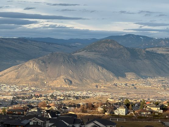
Kamloops, BC
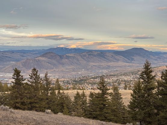
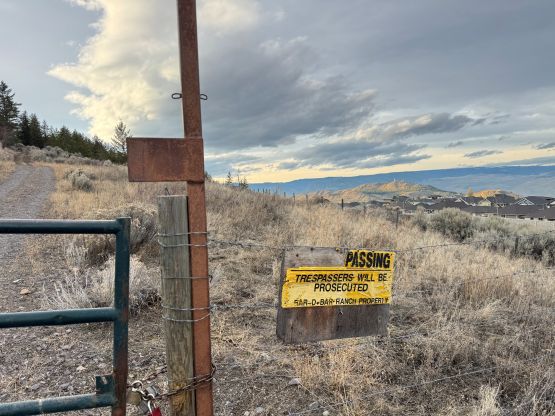
Coal Hill is one of the officially named pimples in the vicinity of Kamloops that also boast over 100 m prominence to quality as an independent summit. This one seemed no brainer on the topographic maps but might have private property issues. At least the route I took required directly trespassing through a locked gate, as well as ducking underneath a barbed wire fence. I only read the other trip reports afterwards, and it seems like most people had taken a different route further to the east. It’s possible that their route avoids the private property at the bottom but I doubt the summit area is “open” to the public by any route, as there’s some communication tower structures up there.
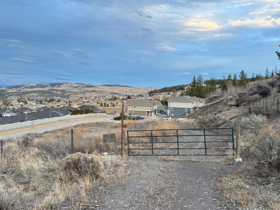
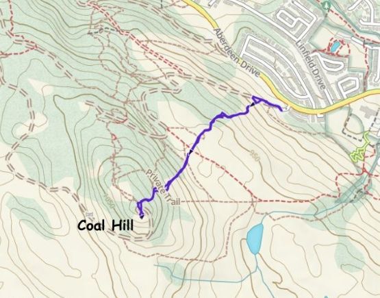
This was the last objective of the Kamloops getaway. Earlier in the day Clair and I had done three peaks in the Indian Reservation and Clair decided to skip this final objective. She seemed exhausted but perhaps she’s also fed up with the trespassing we had been practicing recently. In any case Clair decided to wait for me from inside the vehicle whereas I would pick the shortest possible way to tag this summit. After looking at the maps I picked the trail system starting from Aberdeen Drive. The parking situation was not sketchy but right off the bat I encountered a locked gate with “trespassers will be prosecuted sign”.
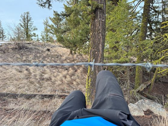
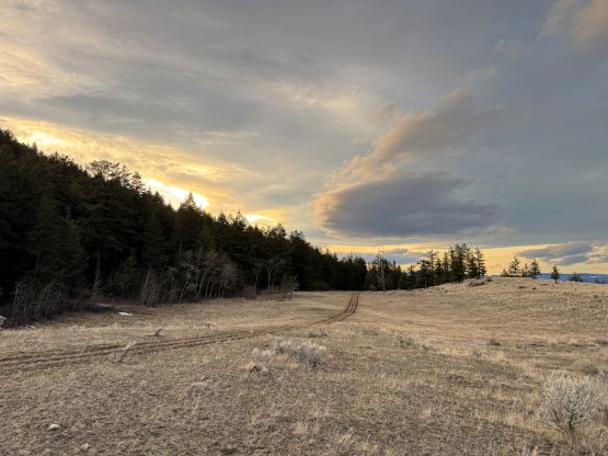
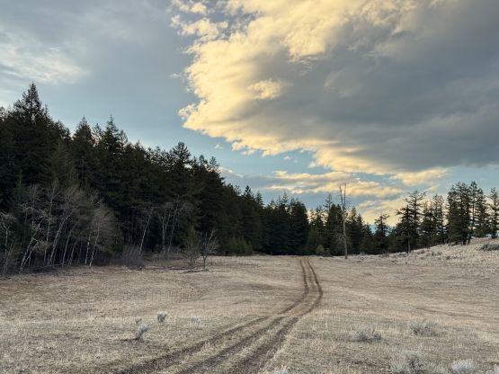
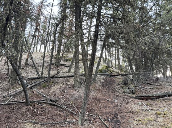
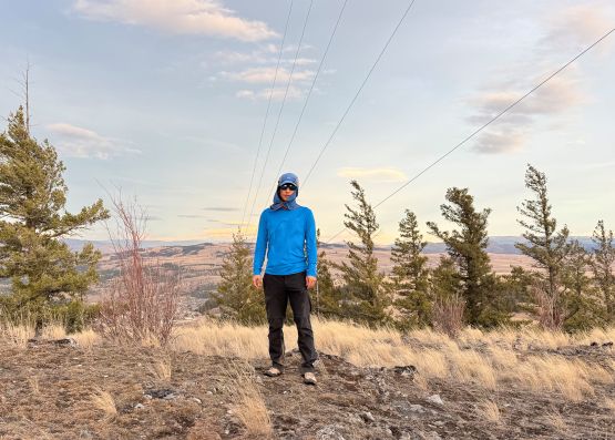
As always I plainly ignored the sign and hopped over the fence. It’s also funny that the word “no” on that “no trespassing” sign had been scratched off. Whomever that did the job would be my hero. I could have walked much farther up this road but decided to take the MTB trail system as the trails would offer a more direct way. The trails turned out to be very muddy so after a while I decided to simply plod through the open country aiming directly towards the summit. There’s no bushwhacking whatsoever and it was also too early for ticks to be a concern. I merged back on the MTB trail near the summit but to tag the true summit I would have to hop over or duck under a barbed wire fence. There had been trips where I hopped over 10+ barbed wire fences in a single go so having only one fence seemed like a child’s play. I opted to duck under as the bottom cell was quite wide. The summit had been occupied with communication towers so I walked around the structure to make sure I did tag the highest point.
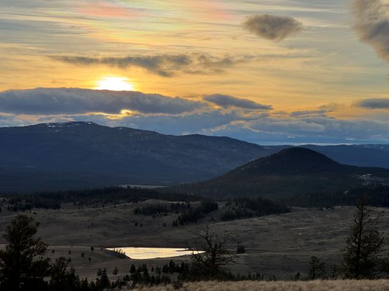
I was quite sure that I was not supposed to be up there anyway so I quickly descended. I opted to more or less follow my own route as this was an efficient way after all. The soft ground made the descent fast and pleasant, and I finished the round trip in exactly 40 minutes. We then drove back into the city to run some errands before driving 20 minutes east to the hotel. The next morning we got up at 5 am and drove home. Clair had to be in UBC that afternoon for some school project whereas I would need to be in White Rock for my usual afternoon/evening work routine.