Mount Lytton
June 2, 2024
2049m
Lytton, BC
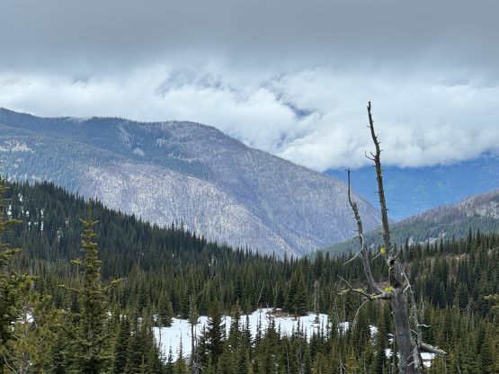
Mt. Lytton is aptly named as it’s the highest point of a large but prominent plateau in close proximity to the town of Lytton. This peak offers no mountaineering interest, but is a good objective for exploring and rambling around. The only logical route is the undulating south ridge over at least two major bumps from Lytton/Jackass saddle, which is accessed by 1-2 hours of driving on rough logging roads. The road system had been destroyed by the apocalyptic flooding in 2021 and nobody knew when it’d be repaired. Matt J. had made multiple attempts and basically had been trying to convince me to go in the past three years but I had no desire to drive a few hours for nothing. I was basically just waiting for Matt to finally make a successful ascent to report back the road’s being “good to go”, and I planned to pull the trigger immediately after. This eventually happened in the spring of 2024. There was another group that took advantage of Matt’s recent trip beta and I formed the third group on the weekend afterwards. There was supposed to have a series of atmospheric rivers coming in, but there was still a narrow window on Sunday morning. I made the plan with Erica but eventually Elise and Francois also decided to come along for the ride. I made all of them to agree with me on the car-camping itinerary as otherwise I would not be able to get any sleep.
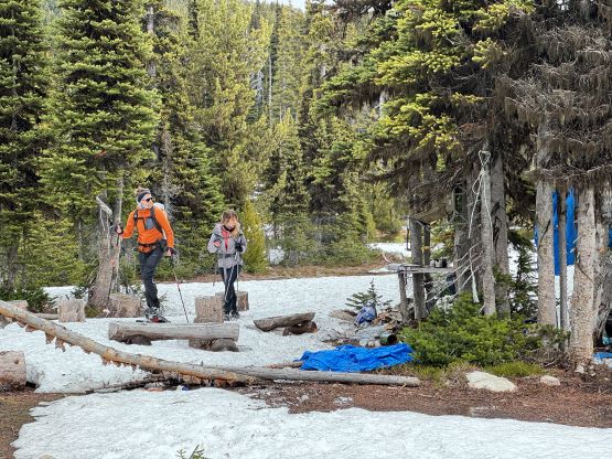
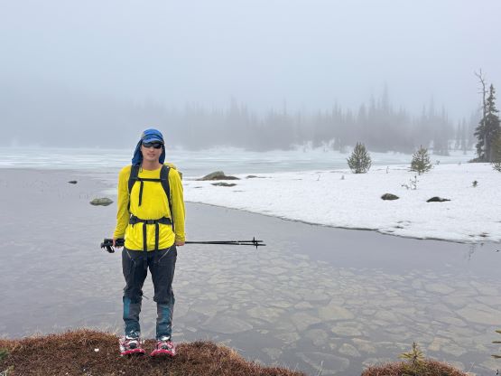
The four of us eventually left Vancouver at around 8 pm in the pissing rain and then learnt the heartbreaking outcome of our friends that went missing on Atwell Peak. It’s already my 4th time losing a friend in just the last few years so I was able to keep driving and a few hours later we made to Lytton. The rain had fortunately stopped. Matt J. had published the driving GPX track to further eliminate the work for us, but I still made an error right at the start as I confused the construction work site as the start of the FSR. There are basically two ways to get in, but the south side route was still not repaired. The north route was heavily blocked by the First Nation communities during the pandemic but had since reopened. There were many more turns coming up so Erica did the navigation for us (using my phone) and I was able to stay focused on the wheel. It unfortunately started to rain as we drove south towards that steep and rough spur road. The final few kilometers weren’t nearly as bad as I thought but one particular section did require a 4×4, high clearance vehicle with skills. I managed to drive us past Matt’s starting point and even found a decent spot to pitch two tents. The truck unfortunately had to be parked in the middle of the road but I also didn’t think anyone else would come here in the morning. It rained on and off during the next few hours but when the alarms went off at 4:30 am it had stopped. The morning routine was a bit miserable but at least we weren’t starting in the rain.
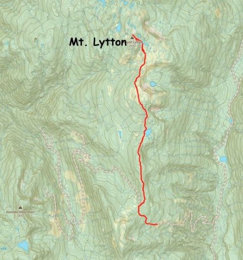
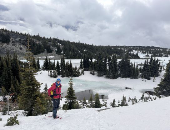
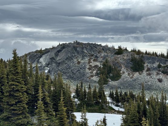
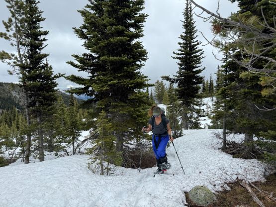
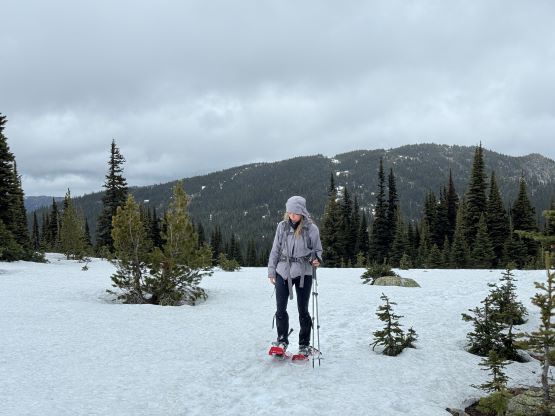
There was technically only one large patch of snow that stopped us from driving further, as otherwise we could have driven very close to the pass. We then mostly just followed the previous parties’ GPX track but I made a slight variation to throw in more side-hilling but less elevation loss/regain. The plod onto the first bump was a bit tedious as the snowpack wasn’t quite continuous and it was not possible to completely follow their footprints, so I did have to consult with the phone many times to make sure our bearing was correct. The ceiling was low so we quickly plunged down the north side to the outflow of a rather major lake, before proceeding onto the second bump. The snow quality was totally garbage, that even with snowshoes and the previous tracks we often sank to the ground. There’s one long stretch of dry ground to ascend the south slopes of the second bump, but we were too lazy to take the snowshoes off. I then led us traversing leftwards to a long continuous snow gulch to bypass the top of the second bump. This one does not boast over 100 m prominence so there’s no need for us to ascend to the top of it.


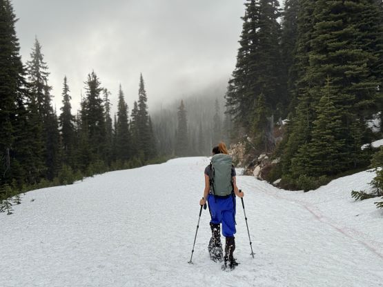

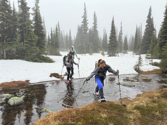
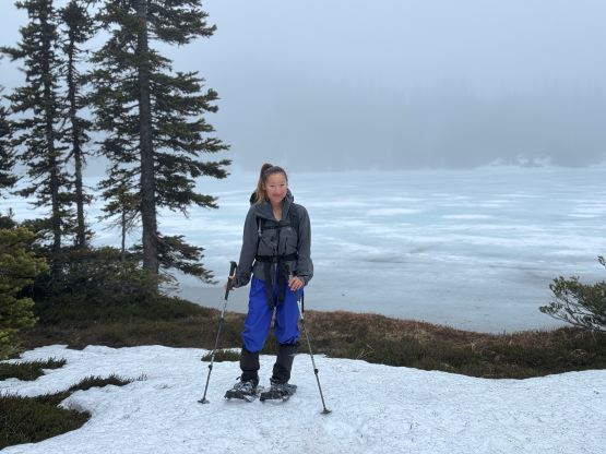

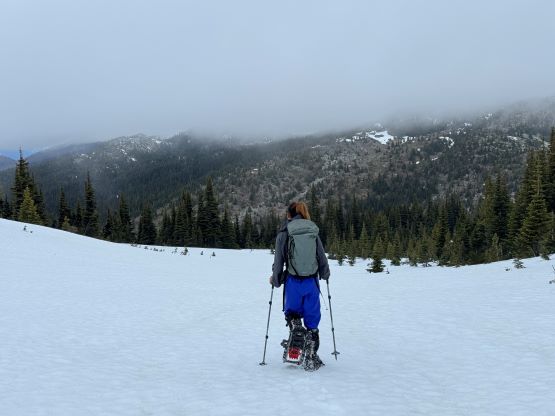
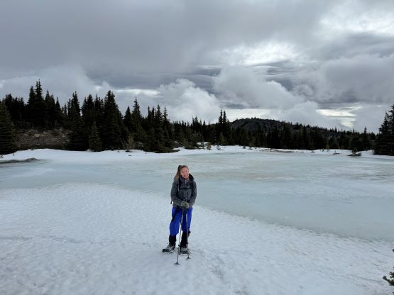
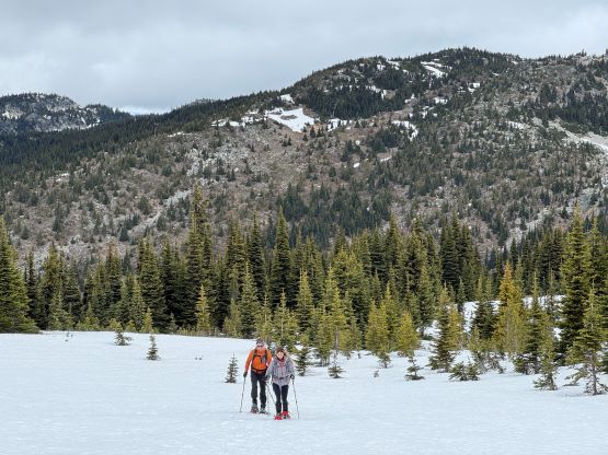
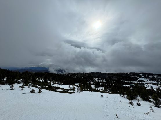
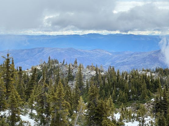
By this point the ascent had become a total plod and because of the missing friends none of us was quite in the mood to really “have fun” here, but we were in for the mission so we must get the job finished. Descending the north side of the second bump I somehow oriented too far skier’s left and had to make some side-hilling to rejoin the previous parties’ tracks, then to ascend the true summit we had to deal with more undulating terrain with lots of melted-out stretches. Those stretches weren’t particularly long so we made the snowshoes to take the beat and just plodded them over those boulders and grass. There were more outflows and wetlands to plod through. The weather was not motivating when we arrived at the summit but two sucker holes made us wait there for a few more minutes, then just after we started the descent the weather cleared and revealed some views. Elise and Francois was ahead but Erica and I stayed behind for another 10 minutes and got more views.

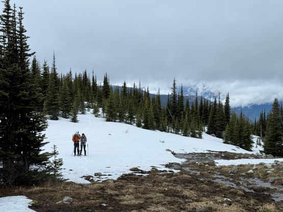


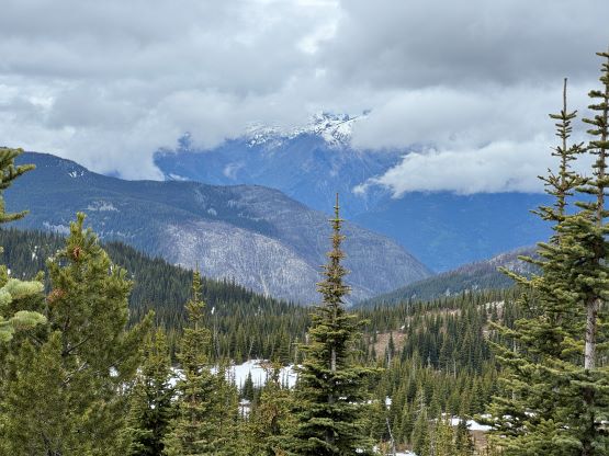
The return was long and tiring especially with those re-ascents, so this was definitely a trip that I appreciated to have friends to share the experience with. Eventually the forecasted rain came as we made our way back to the top of the first bump, and because of that I skipped the idea of bagging that unofficially-named P100m objective near the pass. The rain became quite heavy by the time we got back to the truck, and we still had to pack up the camping gears. Everything was saturated but we got the job done, and successfully drove away. It then pissed the whole way back home.