Mount Fagervik
June 9, 2024
1910m
Harrison Lake East, BC
Mt. Fagervik is one of the obscured summits in the “East Harrison” area with only a few known ascents but the recent logging activities in Cogburn Creek drainage improved the access significantly. To further ease things off the gate at the beginning of Cogburn Creek FSR that had been locked in the past decade had finally been opened, shaving about 15 km each way of biking compared to when I did Mt. Urquhart in Sept. 2022. I got the most recent beta from Alan Blair’s group, that they managed to drive all the way to the base of Mt. Fagervik’s west slopes about a month ago. Alan’s route also seemed legit so I was going to prioritize this objective to take advantage of the current access. I made one attempt with Harry C. a few weeks ago but a forest fire turned us around and that trip got diverted to Mt. Devoy, an equally-obscured objective in Fraser Valley. This time I made the last minute plan with Shayan.
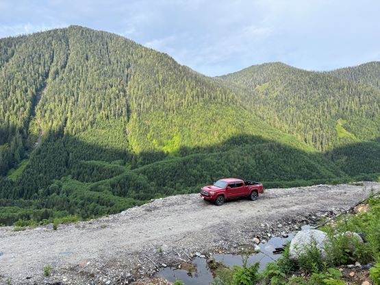
We left Abbotsford at around 5 am and made quick work to Harrison Hot Springs. I then cruised up the East Harrison FSR and to my relief the gate at the start of Cogburn Creek was still open. I got the “beta” that the road was in a rough shape but it wasn’t that bad. It sure had degraded since my last visit two years ago but it could be easily driven in a Subaru. With the trusty Taco it didn’t take me long to transport us to the base of Mt. Fagervik’s west slopes and I even parked slightly further than Alan’s starting point. We decided at the last minute to leave the snowshoes behind and I do think that this is officially the end of the snowshoeing season. We only encountered snow on the final few hundred meters and despite the heat wave and the lack of freeze we did not have to do much post-holing, after all.
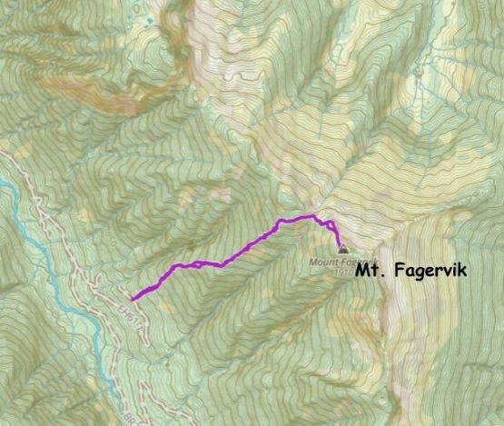
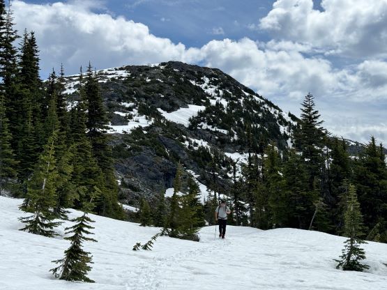
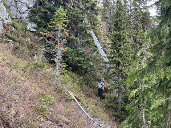
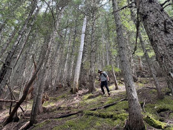
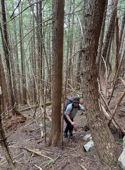
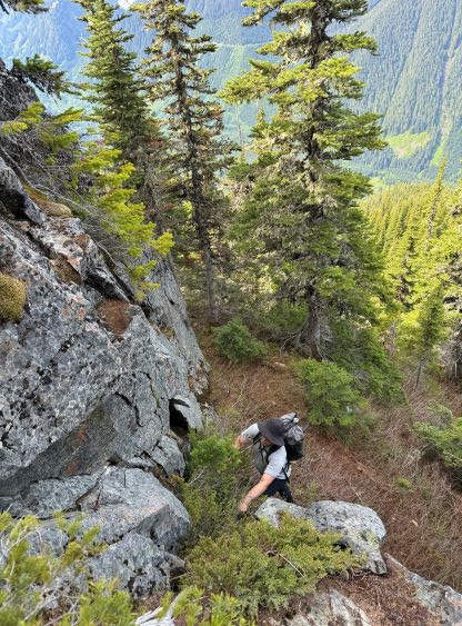
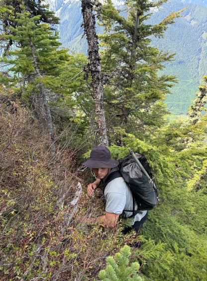
The day was hot and humid and Shayan had only done one hike in the past 8 months so we took our time. The bushwhacking was generally straightforward and the route-finding was eliminated by having Alan’s GPX track to follow. I was not looking forward to additional mental work so even though I had some other route ideas I opted for simplicity. The ascent was rather boring but we had lots to catch up. Two of our mutual friends had died in separate accidents within the past year, and Shayan wanted to talk to me and that’s why we were here. There was still a lot of snow when Alan etc. did this route. We had less post-holing in mushy snow but we had to deal with some additional bushwhacking. The underbrush became annoying after getting onto the ridge proper at around 1350 m elevation, and then there came the “obvious bluffs” at 1600 m. Instead of following Alan’s route we decided to explore a more direct attack, which worked out with some zig-zagging and at least one 4th class step on moss with moderate exposure.

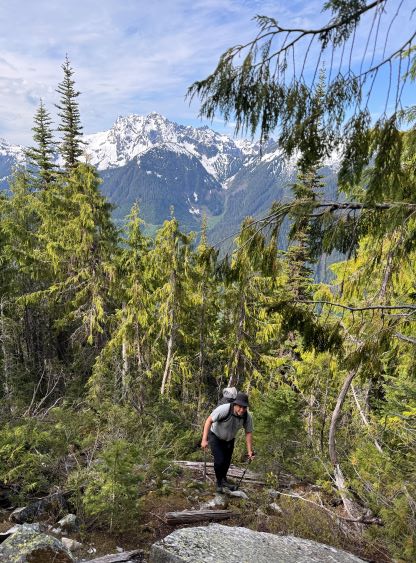
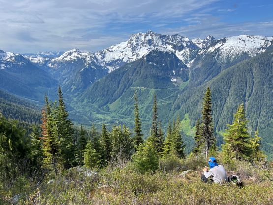


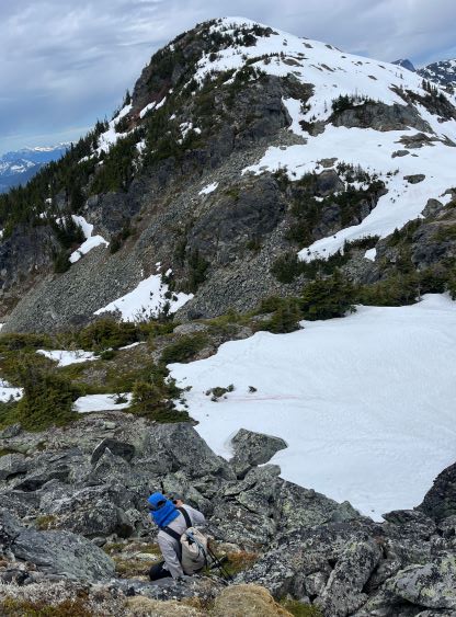
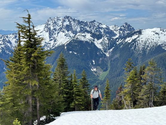
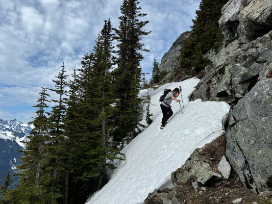
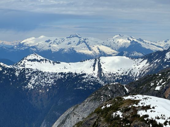
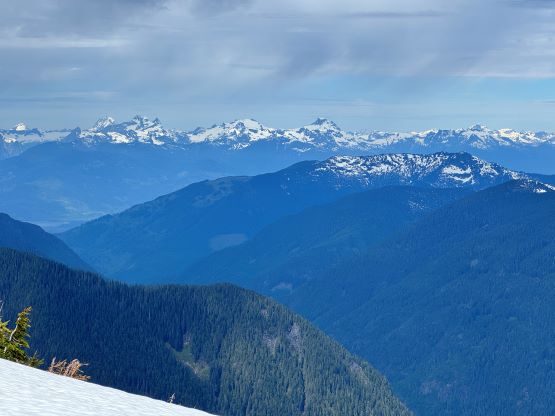
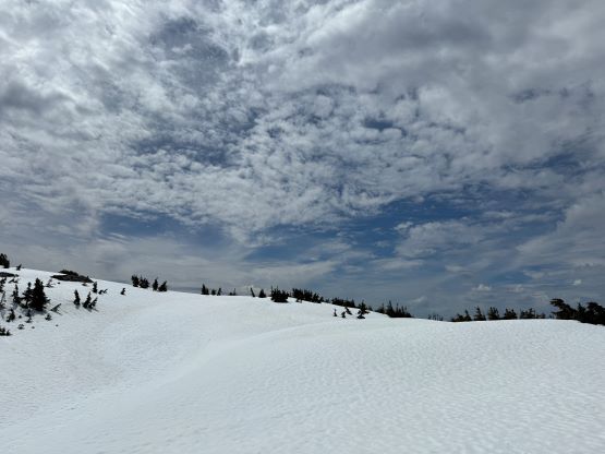
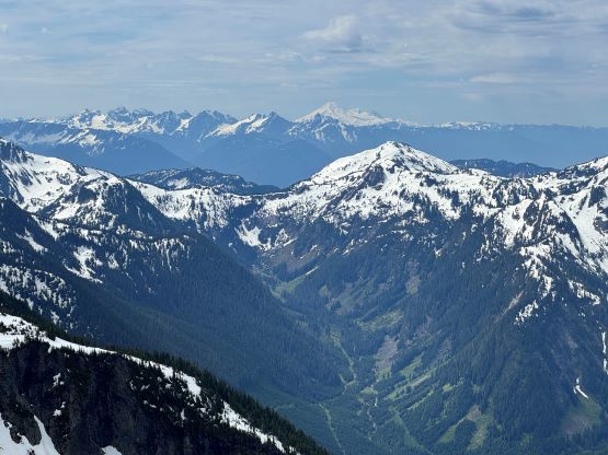
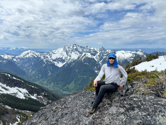
Not far above the “obvious bluff” we finally encountered snow. The snow was already in the “early summer” conditions, so the post-holing wasn’t a problem. I would honestly wish to have more snow to smooth things around. There was quite a bit of annoying micro-terrain to work around to bypass the NW bump on the south side, and the route we picked was almost exactly the same as Alan’s, even though the track does not appear intuitive on the maps. There’s about 50 m elevation loss and at least one steep snow traverse that finally made Shayan to swap footwear from trail runners to mountaineering boots. I had opted to wear the mountaineering boots throughout the trip so my pack was lighter overall. The problem I had to deal with, mostly later in the day was the wet feet because my boots were no longer water proof. The final push up the NW slopes to the summit also involved fair amount of micro-terrain with some scrambling on loose boulders and at least one roll of steep snow, but the views were quite nice.


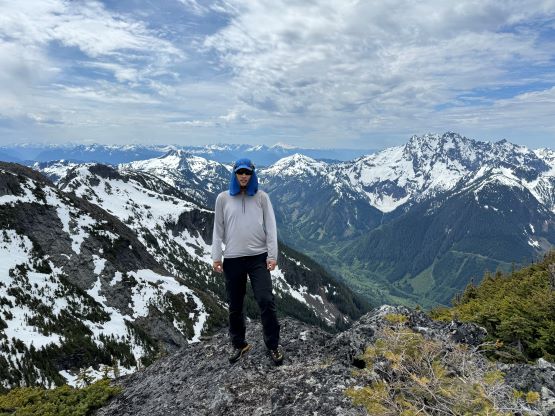
To descend I led us staying closer to the north ridge because I wanted to stay on snow for as much as I could, but eventually we had to traverse back to our ascent route, and still had to deal with those annoying boulders. There’s only one way to traverse across the south slopes of that northern subsidiary summit so we followed our own tracks and recollected Shayan’s ditched gears. We then descended following the same route that we took, including that mossy 4th class step. We were both confident on rock and we felt the scrambling to be more fun than dealing with Alan’s side-hilling bypass. That bypass would be nicer with snow, but looked shitty in the current conditions. There wasn’t much worth noting about the rest of the descent, and we finished the round trip in 6.5 hours on a fairly leisure pace. The drive back home was a bit heavy thank to the Sunday afternoon traffic, but was otherwise uneventful.