“Green Mountain” [Agassiz, BC]
April 6, 2026
373m
Agassiz, BC
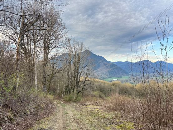
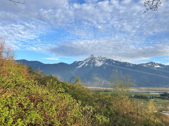
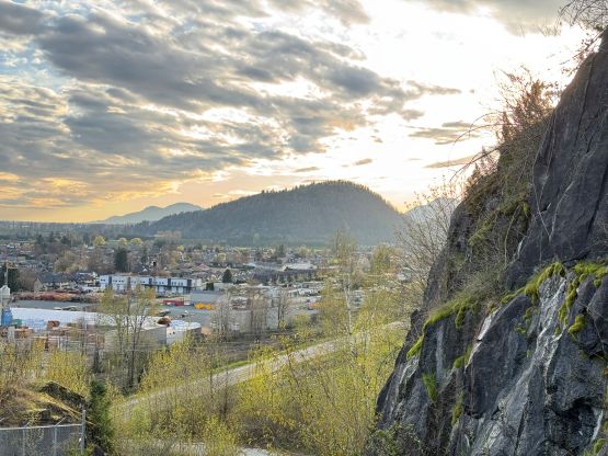
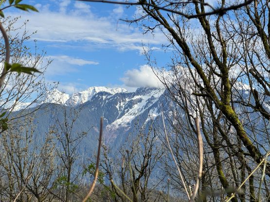
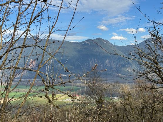
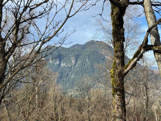
“Green Mountain” is the unofficial name of the forested hill in between Agassiz and Harrison Hot Springs. This piece of woods is connected towards Bear Mountain via a saddle at 100 m elevation. The local hike “Green Grind” is on the south side of this hill but getting to the true summit of “Green Mountain” is a challenging fair with substantial amount of bushwhacking and route-finding in undulating terrain. The “beta” is quite established though, thank to the various trip reports that popped out on peakbagger.com over the past few years. This peak was originally not on my itinerary due to the unofficial name but since it boasts over 200 m prominence I would have to do it at some point.
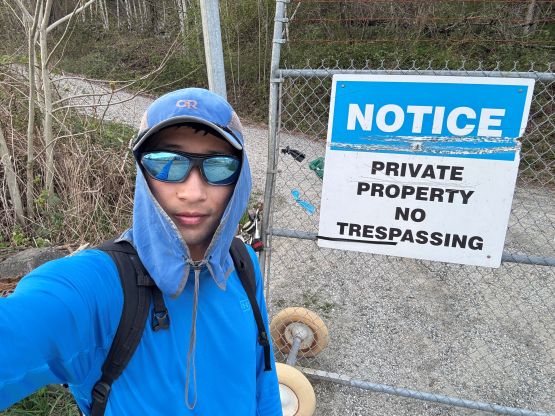
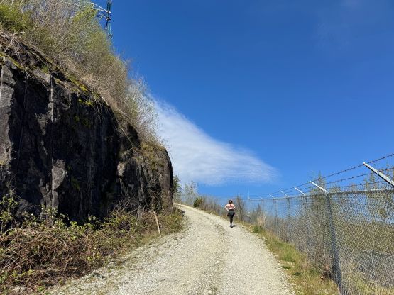
This was the Easter Monday and I had just completed an exhausting 2-day ascent of Mt. James Turner, but I still had some gas in the tank and I didn’t have work fully loaded. I did have to work, unfortunately… I somehow had the afternoon free of obligation and the weather was nice and warm. The exact itinerary of the day was unknown so I decided to finish the morning work first and see how I would feel afterwards. I did have the hiking gears packed in the vehicle in case I did decided to go for a peak. Not to my surprise I decided to head out at 2 pm. I wasn’t keen on a no-brainer kind of objective as I wanted to explore, so picked this bushwhacking sufferfest. About 1.5 hours later I arrived at the bottom of the “Green Grind”, and to my surprise the trail-head was right on someone’s private property with signs of “no parking” and “no trespassing”. I figured that everyone else would have to park at this same spot so didn’t give a fuck. I made sure the vehicle wasn’t blocking the gate and then up I went.
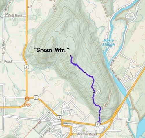
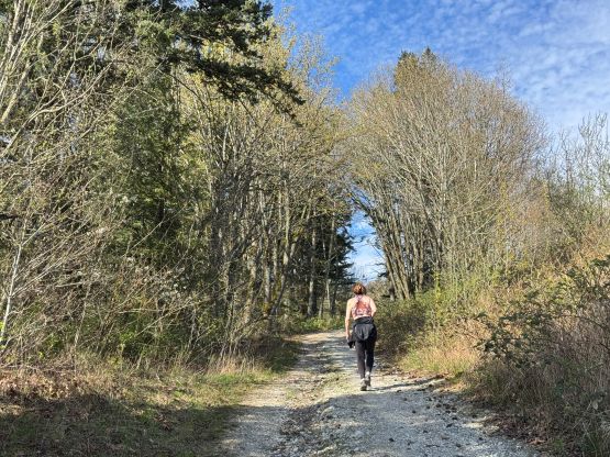
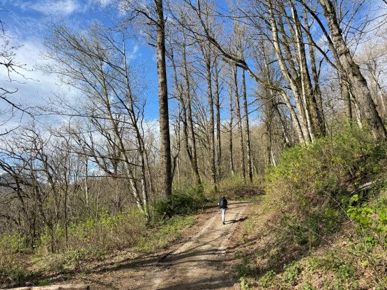
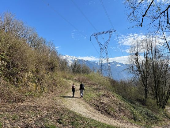
To my surprise another vehicle pulled in and two hikers got out within a minute or two. I had to change my working cloths to the hiking cloths so the gearing up took me a little while. I ended up starting behind the two hikers and they were moving fairly fast. I caught up and passed both of them during various stages of the “grind”. They did not seem like peak-baggers that would go for the true summit so I didn’t bother to have a conversation. We were all trespassing and wanted to keep a low profile, after all. Near the end of the “grind” I stayed left and took some lesser travelled FSRs and powerline roads. The plan was to more or less follow Raphael’s GPX track but the exact route-finding decision would be made in situ based on my own observations.
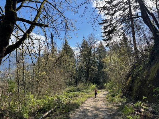
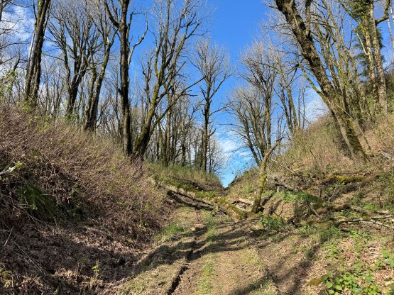
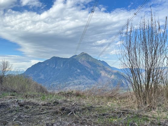
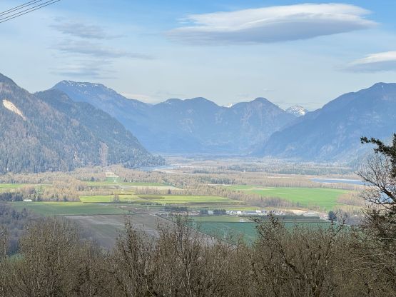
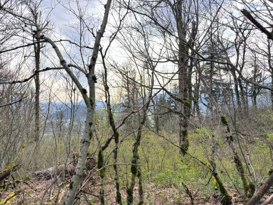
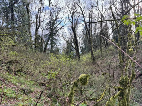
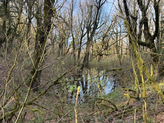
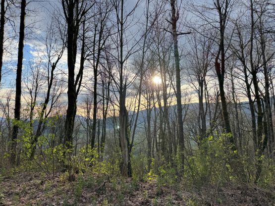
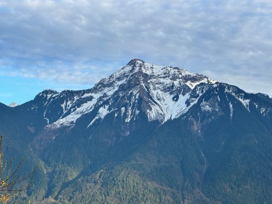
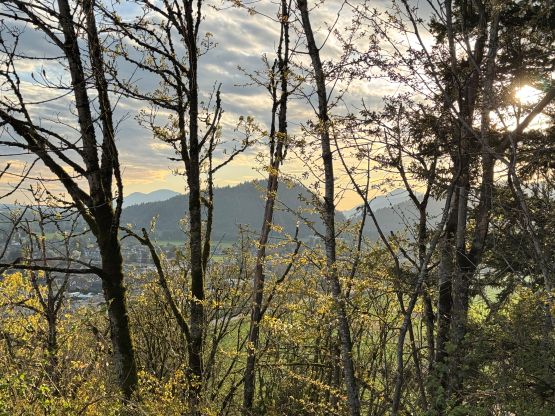
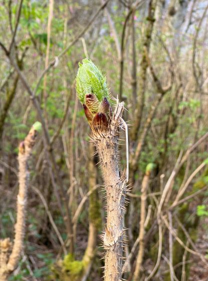
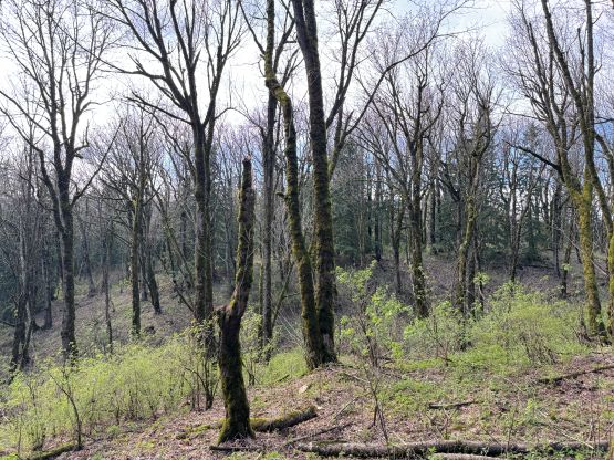
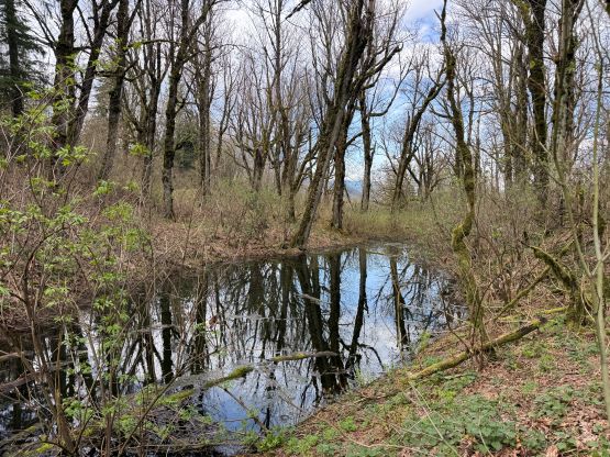
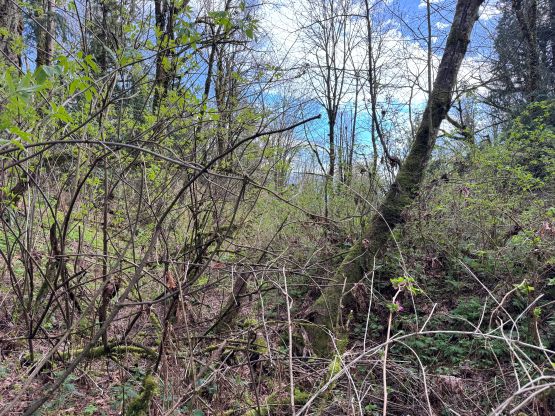
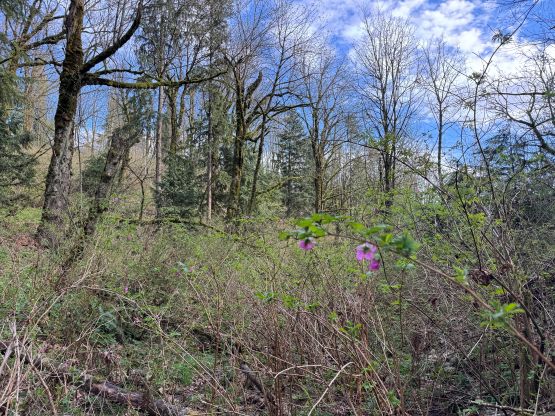
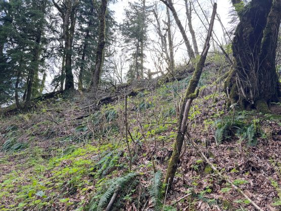
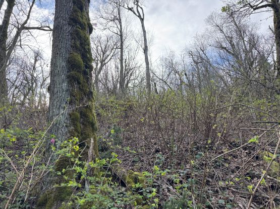
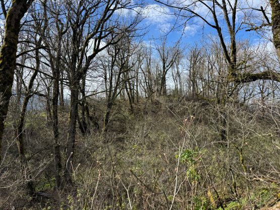
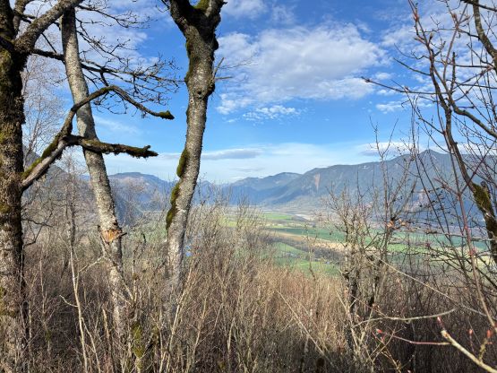
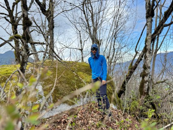
I followed the road to as far as it made sense, and then dived straight into the bushes. Right off the bat I encountered plenty of Devil’s Clubs but the density wasn’t thick enough to be problematic. There were plenty of other types of underbrush but at this time of a year they weren’t that thick yet neither. What made this route annoying and difficult is actually the amount of up-and-downs. I ended up traversing across or directly over at least 6 or 7 progressively-bigger hills. The first half of the route was quite straightforward but the bushwhacking did pick up on the second half. A few swamps were annoying, and a few hills required me to pull myself up using branches, and I had to pay close attention not to grab any of the prickly types. There were also fair amount of stinging nettles and my legs were still burning a day or two after. The summit ridge also seemed to drag on forever and trust me, there were more false summits than you would expect. I also encountered a shit ton of bear scats and other evidences of a bear hibernating or grazing in the vicinity (as warned in Caro Coco’s trip report), so I’m not sure if this is the greatest solo objective. The true summit was on a neat boulder with some intermittent views, and I stayed up there to reply some work messages.
Eventually I should head home so started the descent. My plan was to follow the exact route that I took on the way up as there wasn’t a single section being particularly annoying. The overall length of the bushwhacking surely made this a “bad objective”, but by breaking the task into stages it wasn’t that terrible. I had to hold the phone while navigating since the micro-terrain was extremely disorienting at places, and still veered off my own GPX tracks a few times. Eventually I got back to the roads and jogged back to the vehicle, concluding the round trip in just over 3 hours. This peak had more work than I thought and I was a little bit tired afterwards. I then drove back to Abbotsford for dinner, and got home another hour later. I planned to work for another 1.5 hours starting at 9:15 pm and did so as promised.