Cima Valdritta
August 14, 2025
2217m
Trentino-Alto Adige Region, Italy
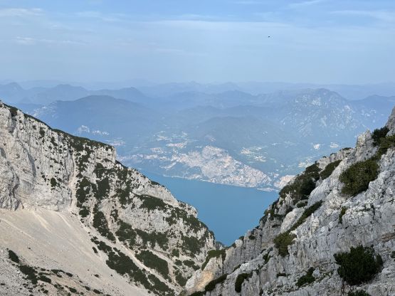
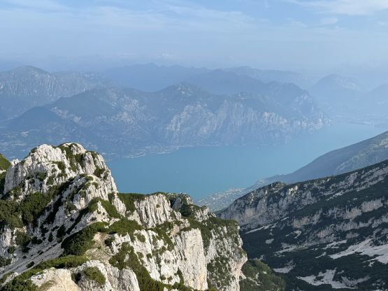
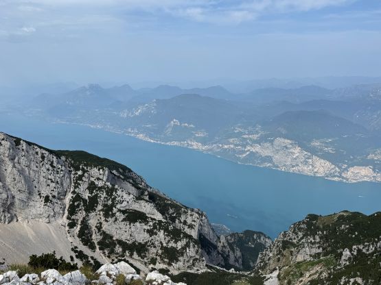
Cima Valdritta, also known as M. Baldo is one of the easiest ultra-prominent peaks in the Dolomites with the standard route only requiring ~700 m elevation gain and class 2 scrambling at the maximum. The peak overlooks Lago di Garda so the views are actually quite good. I had two thoughts about this objective when planning this extended Alps trip. The initial thought was to combine it with the nearby M. Bondone to make a twofer day, but I eventually opted to save it as a “low hanging fruit” when optimum weather and/or energy was lacking. This turned out to be the case immediately after completing 6 major Ultras in 6 days. I was downright tired and needed something to conserve energy for the bigger peaks coming up. There was plenty of time left in the day after finishing Cima Brenta so Adam and I drove down south into the city of Verona to find an apartment room to settle for the night. I was surprised that the receptionist (or the owner) spoke Chinese. The parking was more of a hassle unfortunately.
The next morning we leisurely got up at around 5 am and drove an hour an half back up north to the small village of Novezza. Adam was more of a morning person so I made him drive, giving me a bit of a break. The GPX file that I downloaded started from Novezza but I noticed a potentially higher starting point a kilometer or two higher up on the road. This road was very narrow and winding but was paved, and there was indeed a trail-head for that higher starting point. The only problem was the lack of turning around and parking space but we had gotten up early to beat the crowds, so no problem for us. There were at least 3 vehicles coming within the next 10 minutes…
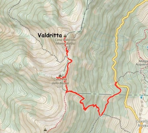
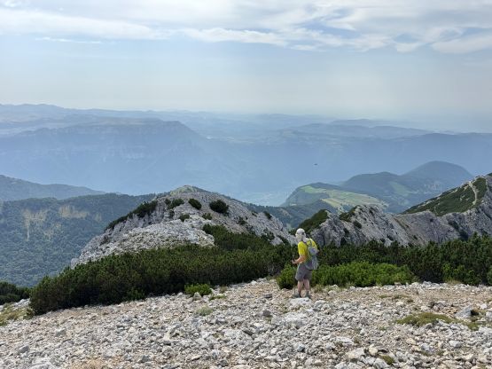
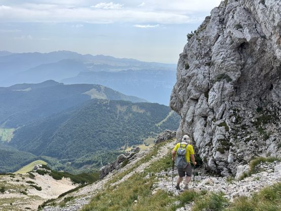
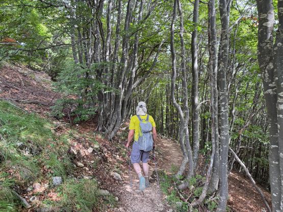
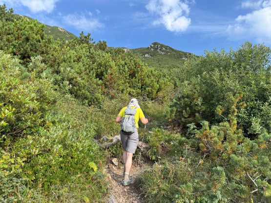
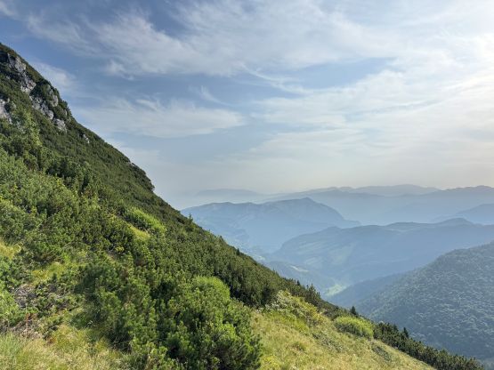
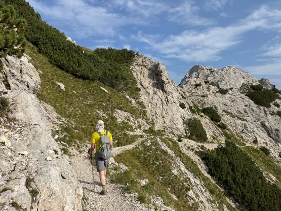
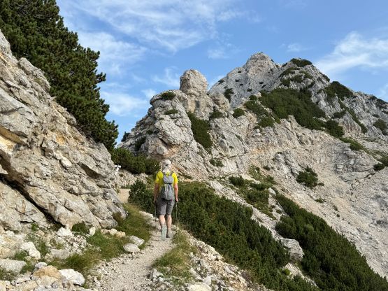
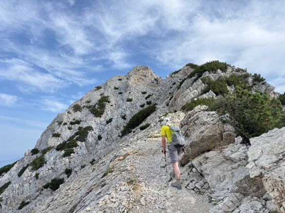
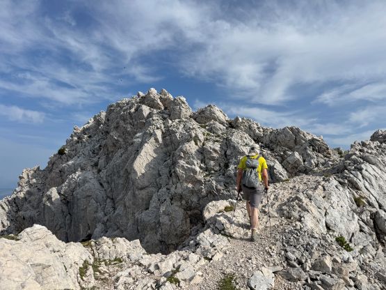
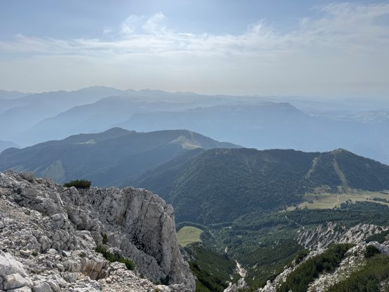
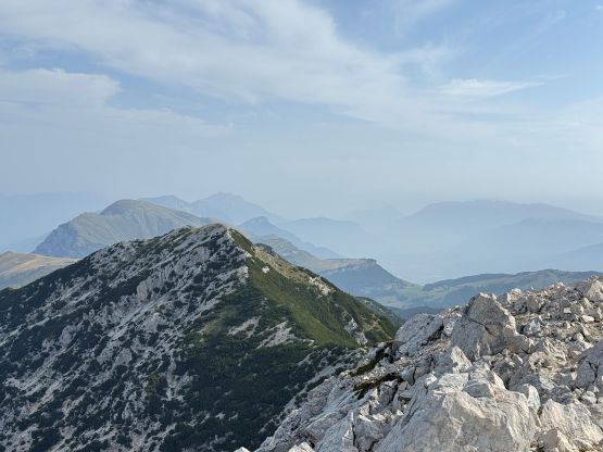
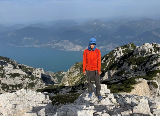
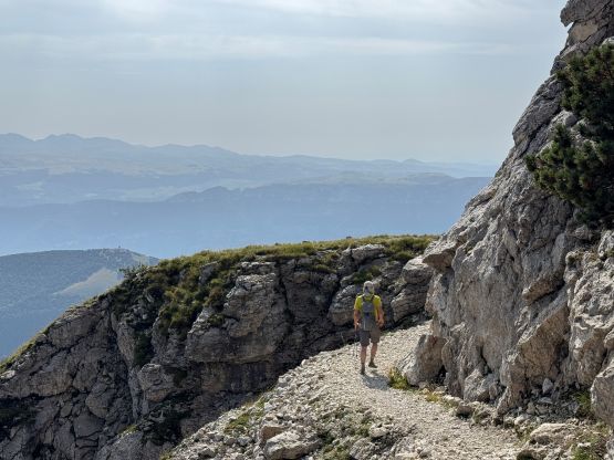
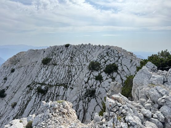
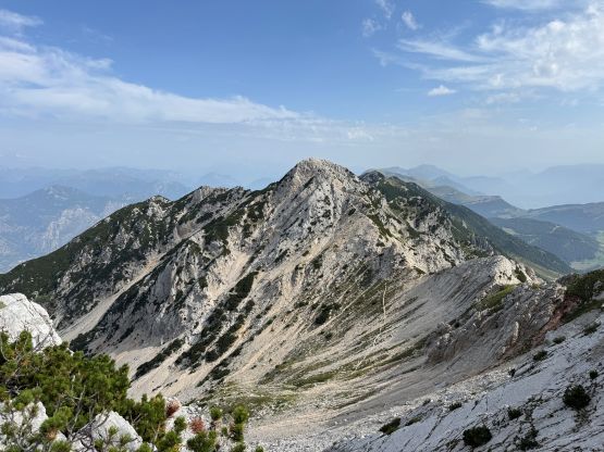
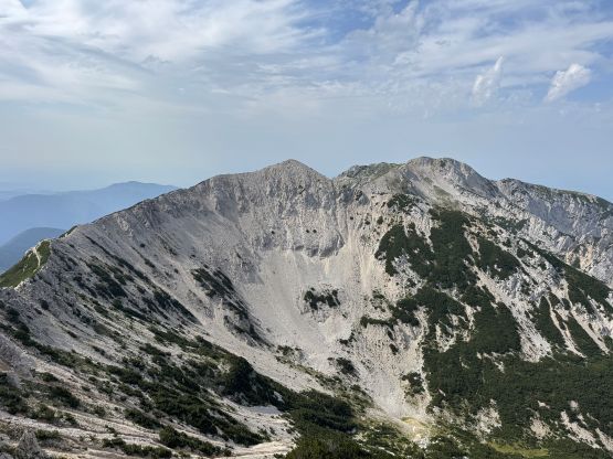
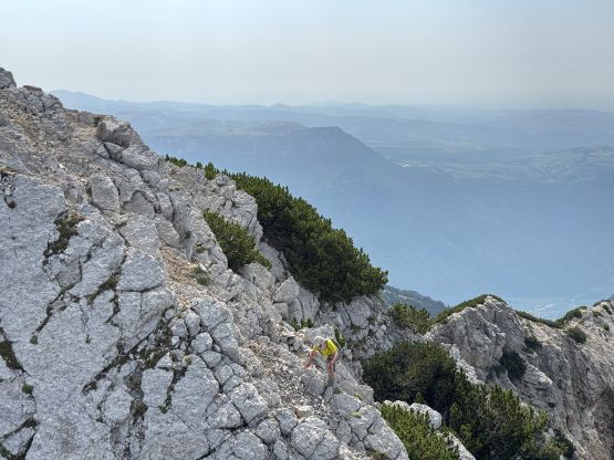
Adam opted to lead the pace so all I needed was to put one foot in front of another. Right off the bat at the first corner on the trail we saw a massive pile of human shit. The first kilometer of this trail was in the forest but it quickly joined the “standard route” coming up from Novezza. The trail was rocky just like most of the trails in the Dolomites, but at least it’s a good trail. A long while later we crested the ridge under the southern P100m sub-summit which has a few confusing names. The route traverses across the east face of this sub-peak gaining and then losing 50 m precious elevation. Adam and I agreed to tag that peak on the way back since it only required an additional 50 m elevation gain. To reach the summit of Cima Valdritta there was some scrambling involved but nothing fancier than Class 2. I wasn’t anticipated much from this outing but the views were quite nice, so we lingered up there for quite a while.


At this point I finally got some messages from Erica and Caspar that they wouldn’t be interested in Piz Kesch but they would be down to give Ortles/Ortler a shot, and Caspar had managed to successfully book the hut stay for the three of us. This necessitated a last minute change of plan. Adam proposed that we should drive a ways down south into the Apennines to climb Corno Grande and I agreed. This also meant that we would be driving 7+ hours afterwards, so we quickly descended. We still opted to tag that bonus peak for simple reason of why-not, but it required more effort than we thought. There’s no maintained trail to the summit so we needed to ascend some steep talus and grass fields. There are also two contenders for the summit and to reach the second one required some difficult scrambling. I attacked the ridge direct and it was 4th class. Adam found a way to bypass by diving into the bushes down skier’s left, and reported his route being “class 2”, albeit longer. This peak is known as Cima Prà della Baziva on most sources online but is labelled as “Cima Fontanelle” on peakbagger.com. It doesn’t seem to have an official name on the government’s topographic maps. I don’t know which advice to listen to but I would prefer the former.

After tagging the two contenders of Cima Prà della Baziva we quickly descended, taking a slightly different path down to the main trail. The rest of the descent was boring but at least went by quickly. Our round trip time was under 3.5 hours. Not doing much lingering we quickly started the long ass drive back down south, away from the Alps into the central Apennines. Little did I know that this eventually turned into another long ass day…