Bumbat Khairkhan
August 15, 2024
3470m
Khovd, Mongolia
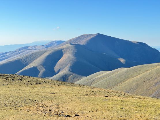
The local name of this “ultra prominent peak” is Bumbat, but it’s written “Bumbag” on peakbagger.com. I assumed that there’s virtually no difference even though I haven’t researched the meaning of these names. Are we supposed to be bagging the bums? This could be one of the more unknown objectives in this trip. Rob and Deividas had ascended it from the west but their route involves over 2000 m elevation gain so again, Petter and I were determined to find an alternative route on the backside, and we did find one. This experimental route was considerably longer than the one we took on Jargalant and wasn’t nearly as clear on the satellite images in some places, and required at least 150 km of detouring to the south side of the mountain. Neither our head guide Gangaa nor our knowledgeable drivers knew much about this objective so we were down for another exploratory trip.
Because of the way Jargalant went our guides decided to follow our navigation this time, but they questioned our sanity a few times as it was clear that we were making some big detours. I insisted that we should take my route because this gave the highest level of robustness hence the highest chance of success based on the satellite images. Gangaa and Manlai had a plan about the more direct NE approach from near Chandmani, and in retrospect they were correct this time. I wasn’t wrong neither, but my route costed at least 150 extra kilometers of driving. Their route, on the other hand, involved one relatively long section of rough road in a canyon that was clearly not visible on the satellite images, and there’s no way I would put my bid on that option. I have had similar arguments with a lot of people even back in my home region, because my way of thinking is to always ensure the end result being positive, even with notable extra costs. A lot of people don’t agree with me as they simply care less about whether the summit’s attained or not.
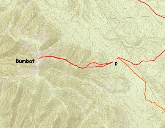
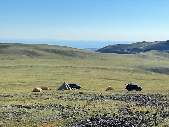
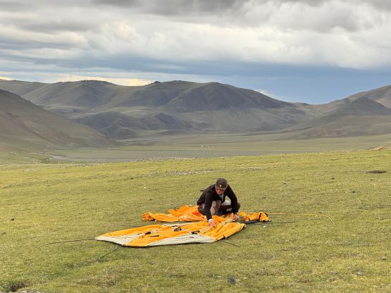
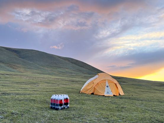
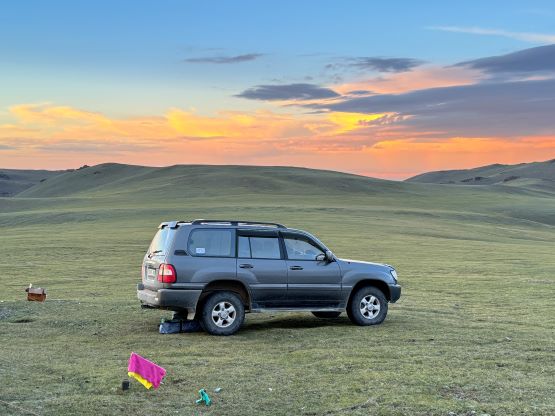
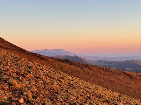
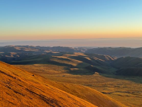
I had recorded respective driving GPX tracks for my way as well as Gangaa’s way (on the way out), so I wouldn’t waste my time describing them here. They have very similar overall roughness (both require a high clearance, 4×4 vehicle such as a Landcruiser), and their unpaved sections are very similar in length (both somewhere 40-45 km, one way). The only difference is their starting points, one being on the NE and one being on the south, and the driving between the two starting points takes 2-3 hours, so pick your poison based on your overall trip itinerary. In any case I directed us detouring around way the hell over to the SE side by taking the Ulaanbaatar-Khovd highway, and my way based on the satellite images worked out reasonably well. The drivers were shaking their heads because of the length of driving but we did get the job done. We even drove a short ways up the open grassy fields and positioned ourselves higher than planned. This resulted in less than 800 m elevation gain, shaving more than 60% off from Rob and Deividas’ route. The unstable weather pattern seemed to have come to an end as it cleared up nicely at dusk, leaving no lingering thunderstorm in our vicinity.


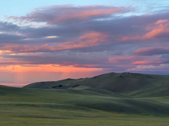
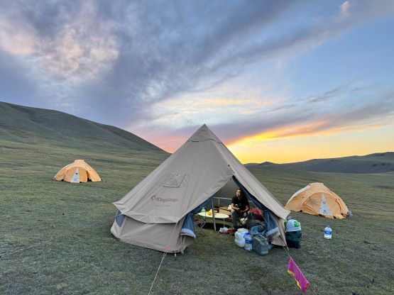
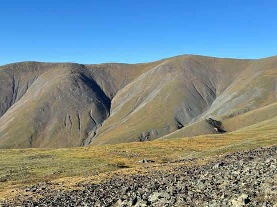
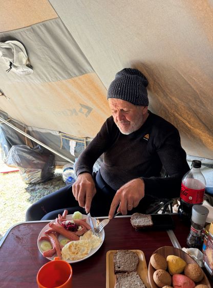
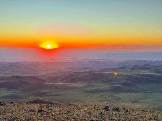
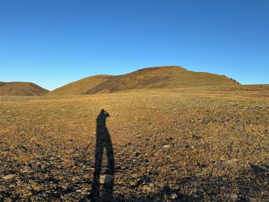
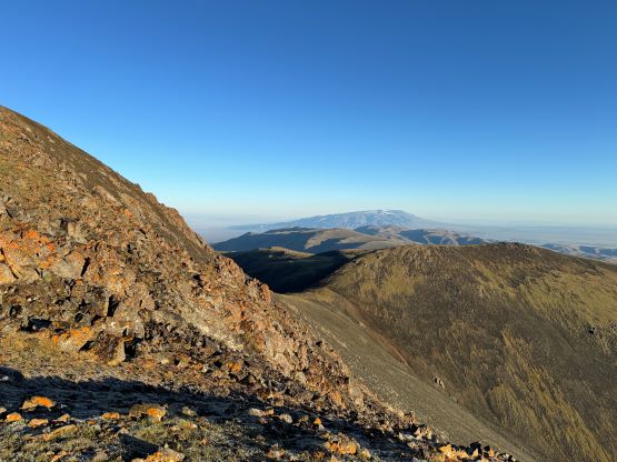
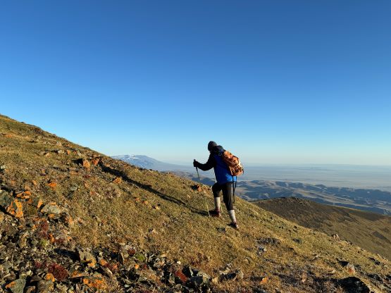
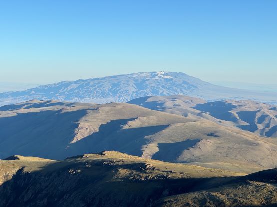
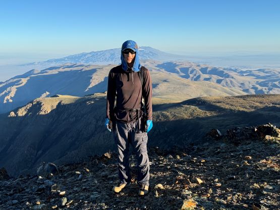
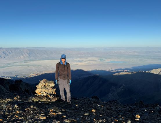
Petter suggested to start hiking at 5 am and have breakfast after finishing the round trip, and I reluctantly agreed. We just had some horrendous thunderstorms on the previous two objectives so we wanted to be extra safe this time. Of course that was not quite needed as the morning was crystal clear with no cloud. I managed to drag my tired self out of the tent just around 5 am and Petter and I would be accompanied only by Naraa. Our other guide Manlai opted to sleep in to focus on his driving job on this day. Petter was somehow gong ho on this day and managed to maintain the pace of over 600 m elevation gain per hour. I needed to make several stops for water, delayering and sun protection but Petter needed none of those, so I didn’t manage to catch up until within 100 m from the summit, and I had to work really hard to catch up. Naraa, after soloing Khan Tengri recently, was clearly on the next level in terms of fitness so he got to the summit first. The summit area was very broad with two points with similar elevation. The better views were from the farther point so we spent some time there.


On the descent I went ahead and finished the round trip in under 3 hours. We packed our camp efficiently and were quickly on our way out, this time following Gangaa and Manlai’s navigation. I kept checking the satellite images and couldn’t quite figure out their way, but it worked. About 44 km later we joined the bigger-but-still-unpaved Chandmani-Darvi road and another hour later we were back on the Ulaanbaatar-Khovd Highway. These guys were quite impressive. None of them had been on this mountain let alone this specific exit route, and they were able to figure it out without any form of backtracking by just talking to the locals, and without any mapping tool. Thank to their success Petter and I opted to stop arguing, and we would simply follow their Mongolian way of navigation to our next objective, and we even managed to make the ascent of Baatar Khairkhan on the same day in the evening.