“Borg Peak”
July 2, 2025
2127m
Okanagan Falls, BC
“Borg Peak” is the unofficial name of the P600m objective on the large wooded plateau north of Baldy Mountain and south of Little White Mountain. It’s unclear about the origin of this name but both peakbagger.com and bivouac.com use the same name so I’ll stick with it. A quick check on the satellite images revealed logging roads extending to within 2 km from the summit so this was basically a drive-up “ascent” with some bushwhacking through logging slash. The driving direction wasn’t very clear but Andy Martin from Arizona had provided enough “beta” to make do. Matt Juhasz was the other bagger who had logged this ascent but his trip was done on snowmobile in winter.
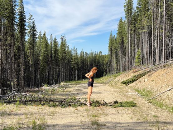
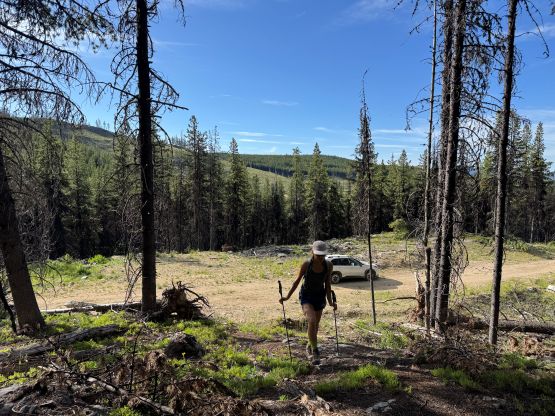
The objective for the 4th day of this West Kootenays trip was to drive home as Erica preferred to be home earlier than later but I needed to at least tag something along the way. After doing some last minute digging I settled on “Borg Peak” and Erica reluctantly agreed. There’s nothing exciting about this objective beside collecting dusts on the vehicle and getting bitten by the mosquitoes. We drove in from Rock Creek to the SE and Google Map directed us by taking Baldy Mountain Road. We then turned westwards down Camp McKinney Road and then went north towards the coordinates given in Andy Martin’s trip report. Google Map indeed could take us there, and once there I switched on the Gaia map and eventually the satellite layer and got us to the absolute drivable end about 1.5 km from the summit. We encountered about a dozen cross ditches but non of them imposed an issue to the Subaru with some careful driving. There’s one downed tree but Erica was able to step on it using her body weight, and I managed to drive over the log. I had forgotten to bring the chainsaw in this trip but thankfully that didn’t end the attempt. We got to the drivable end at around 11 pm and slept in till 7:30 am. The night temperature was hot so I didn’t sleep too well.
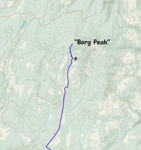
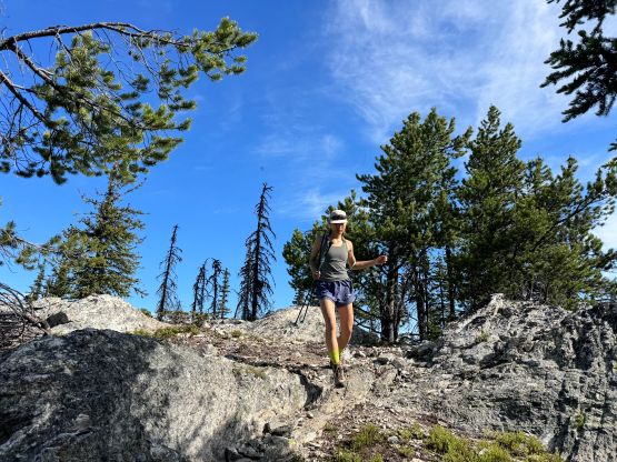
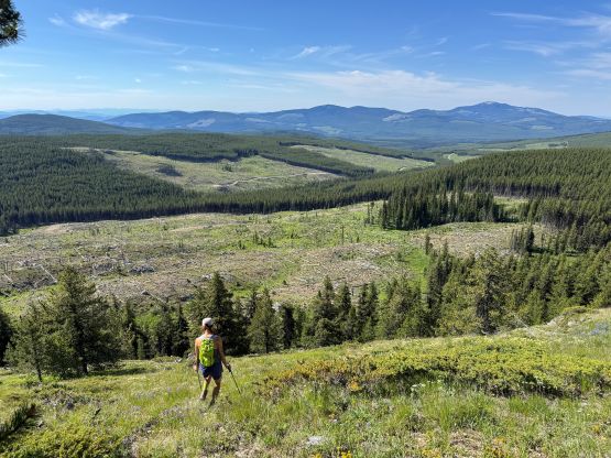
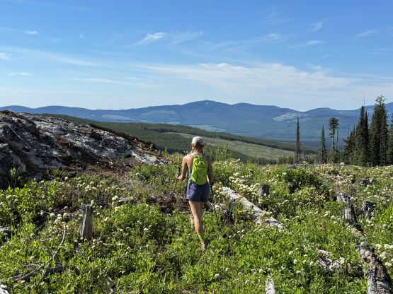
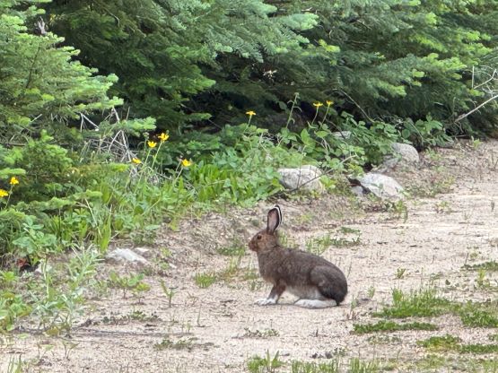
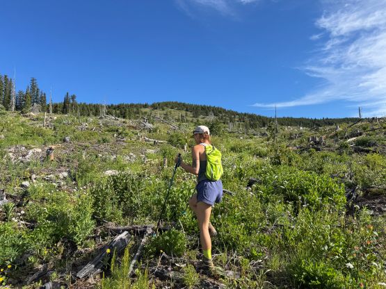
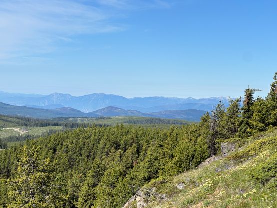
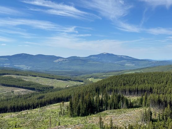
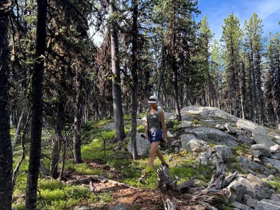
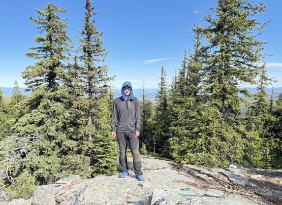
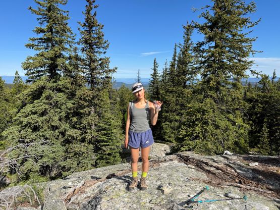
The day was already hot and the bugs were already insane. Nevertheless I took my time preparing the breakfast for us, and within an hour we were on the go. There were two more switchbacks but it was pointless to follow the road. Instead, we simply went cross-country aiming straight towards the summit. The initial logging slash was not very pleasant but far from “terrible” especially comparing to the previous two days’ bushwhacking. There’s one section of steep but open forest that actually provided some views. Higher up we used ridge features to direct the bearing towards NE and eventually hit the summit and found the Martin’s register. The upper route was confusing but with GPS technology nowadays the route-finding was not difficult. The mosquitoes were insane so we had to leave immediately after signing the register.
I simply held the phone in one hand to direct us following the exact same route that we had taken on the way up. Without the GPS technology it would be next to impossible to stay oriented on the upper mountain. We did the round trip in just over an hour and then immediately drove away given the bad bugs at the parking area. There’s a white road on the Gaia map leading west and I rationalized that this road must lead “somewhere”. We decided in situ to take a chance and see where that road went, and that turned out to be the correct decision. After a shit ton of descending we eventually entered the town of Okanagan Falls completing and up-and-over backroads traverse of the plateau from Rock Creek to Okanagan Falls. Off pavement we had driven probably close to 100 km for this crappy objective so no wonder why folks like John Stolk and Simon Chesterton hadn’t logged it yet. I’m sure they will, eventually, given the easiness of the hike. We then took turn driving home and eventually got back in the late afternoon. The traffic situation was quite bad in the city but we went down south along 0th Avenue towards White Rock, and then up north to Surrey to bypass most, if not all of the gong show.