“Big Gee”
September 11, 2025
1551m
Concrete / North Cascades Highway, WA
“Big Gee” is the highest peak in the vicinity of Gee Point and boasts over 900 m on the NE portion of the “Logger’s Island”. This is one of the 4 P600m objectives on the “Logger’s Island” and the least pleasant of those. Needless to say, I reserved it for the last. For a number of years around the pandemic the access was screwed up but they finally reopened the Finney Creek FSR a couple years ago. Fearing the access could be gone again without warning part of me wanted to prioritize “Big Gee”, but this is such an uninspiring ascent that I found difficult to motivate for. This isn’t entirely a dumpster-dive but definitely falls into that category of peakbaggers’ summit and “type 2 fun”. I agree with the selected few trip reports that popped up in the recent few years, that the bushwhacking is nowhere “the worst ever”. The scrambling was also not no-brainer, but far from being problematic for a Cascade veteran.
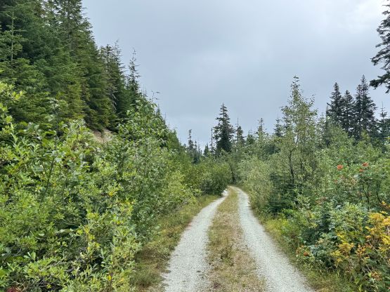
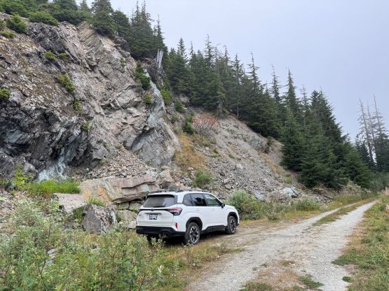
I finally decided to pull the trigger after seeing a mediocre window on Thursday morning. This entire week saw some reasonable weather but I was swamped at work. Once realizing that I could indeed get out on Thursday for a half-day objective I was keen to make the most use of it. “Big Gee” seemed like the right objective to push for a before-work exercise, with a car-camp the night before. I didn’t even bother to search for partners as the combination of an ugly peak with such an overnight itinerary meant any attempt in finding partner(s) would end up being a waste of time. Most of the peakbaggers that logged this ascent did it solo, and I sure know why. I drove down south across the border on Wednesday night after work. This was one time that I could finally make use of the NEXUS card as most, if not all of my usual climbing partners do not possess this card. The drive was longer than I thought as the route is meandering. There was still fair amount of work even after entering Finney Creek drainage. The spur road that switchbacks up the south side of the objective was in a fine shape until the very end. There were a few aggressive-ish water bars and the final kilometer was bushy. I parked at an obvious turn around spot but in retrospect I should have kept pushing to the drivable end. The visibility was poor at night and a few of the GPX tracks started from where I parked, so I didn’t even consider driving farther. I did a more thorough research AFTER completing the ascent, and realized that Raphael Smith did manage to drive to the very end. In any case I turned the vehicle around and went to bed at 12:30 am.
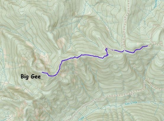
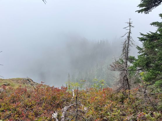
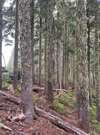
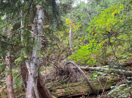
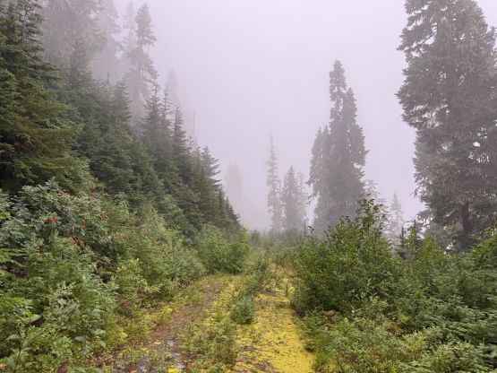
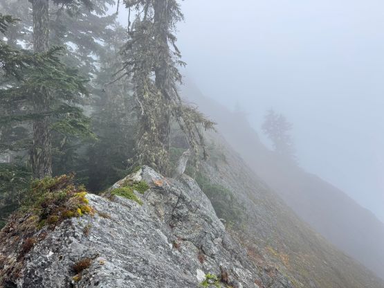
The next morning I woke up at 7 am and started hiking half an hour later. This was supposed be a 3-4 hour outing so a pre-dawn start would not be required. The weather however, was not cooperating. Instead of the “mix of sun and clouds” promised by the forecasts I got 100% clouds and fog for the entire day, which was very disappointing. The vegetation was also wet and the air was saturated. This was shaping up to be a miserable hike, but I had just completed Liberty Mtn. and this could not be worse than that. I followed the existing GPX tracks to the road’s end and then dived into the bush. I opted to ascend more towards climber’s left to aim for the east side of the first bump, instead of doing what Matt/Raphael did on their accounts. Matt’s route only made sense with snow coverage so I had no clue why the subsequent hikers chose to follow such in dry conditions. In summer months the old route is the only one that makes sense, as the it stays more in open forest and avoids as much side-hilling in blueberries and alders as possible. The old route did add distance and elevation gain but I preferred these over side-hill bushwhacking.
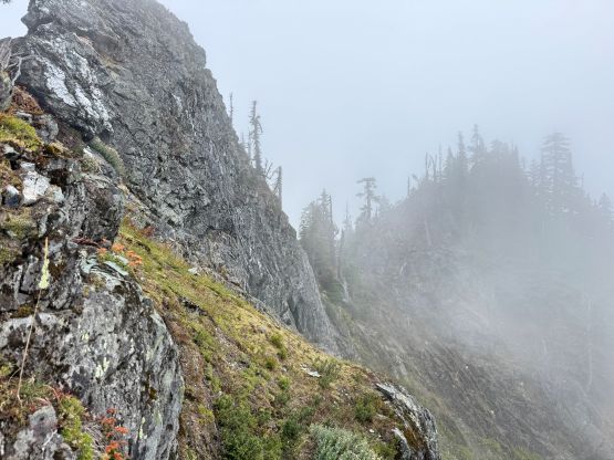
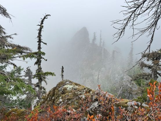
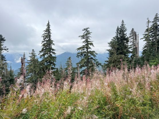
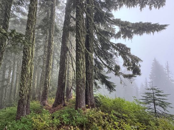
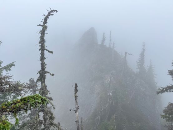
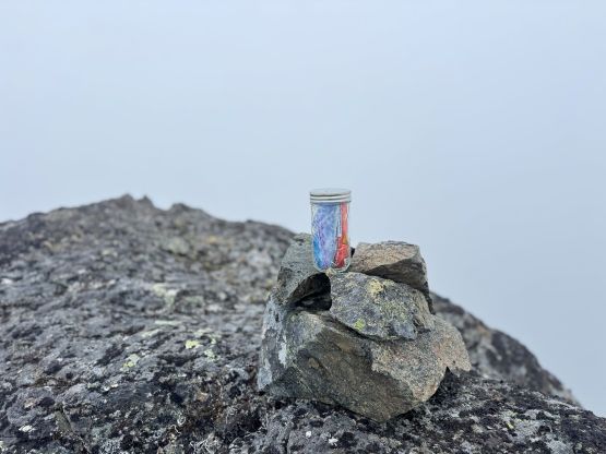
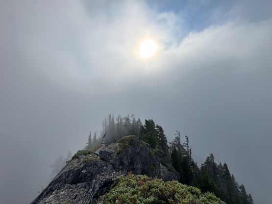
Traversing over the first two bumps was uneventful as most of the ridge was open forest. Sometimes I could even follow a game trail. The second bump required a few scrambling moves to ascend, followed by a steep descent off blueberry bushes, but was not problematic. Upon seeing the foggy “gendarme section” I opted to take Dave Golias’ route by ascending a narrow ramp high up on climber’s left (east). There sure exists other ways, but Dave’s route is the most no-brainer for me. The terrain and the scrambling difficulty (class 3, exposed, with pebbles on slabs and vege) was not an issue for me so I preferred to minimize detouring as much as possible. There was more bushwhacking afterwards but nothing overly dense. The summit block was also attacked head-on with minimal detouring, mostly on climber’s left side. I tried to stay as close to the ridge crest as possible but eventually did make a short leftwards traverse to avoid one pinnacle on the ridge. The thick fog had also obscured the exposure down north, which was good or bad depends on how one interprets that. I stayed on the summit for more than an hour hoping the clouds could lift, but to no avail. There was strong cell receptions to get some work done. I also checked the forecasts multiple times and to my surprise, the models were still calling for “sunny” but it was an entire white-out for me. I could make out some blue skies above but there was no hope of having any sort of view, so I quickly descended.


My decision was to simply reverse the exact route that I took on the ascent, by checking the GPS every few minutes to make sure I stayed on route. Descending the summit block was rather trivial and so was the traverse around the gendarme section. That ledge required a lot of care but again, such type of scrambling was not difficult for me. To get off the north side of the first bump involved the worst of the bushwhacking, but there was no Devil’s Clubs nor significant amount of prickly plants, so I considered this bushwhack mostly BW2 with short bits of BW3. This is literally a piece of cake compared to Liberty Mountain. I then power-walked back to the vehicle and quickly drove away. I eventually got back to White Rock at 3 pm and then worked to 8:30 pm before concluding the day.